

Basics:
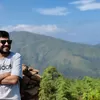
Hi all. Today we are going to see details about one of the iconic and most scenic trek in Karnataka
“Kuduremukha” in Kannada means face of horse. The name came because the peak of the mountain resembles with it.
It is in western ghat stretch in western part of India and belongs to “Chikkamagalur” district in Karnataka.
About Kuduremukha peak:
The peak is 1892 meters which is roughly 6207 feet from the sea level
It is 3rd highest peak in Karnataka after:
Mullayyanagiri - 1930 meters and
Bababudangiri - `1895 meters
All 3 peaks are in Chikkamagaluru district of Karnataka
The Trek:
Trekking starts from forest checkpost in Mullodi village

The trek distance is 9km one side from forest checkpost
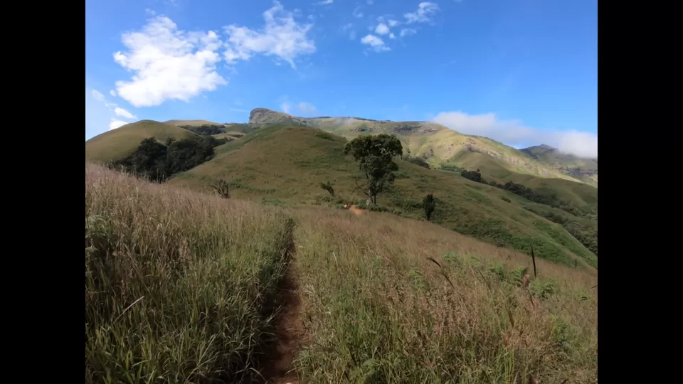
The trail consists of meadows and forests. We can see wide valleys during the trek and especially the second half of the trek.
Trek can be split into 4 major stretches:
Till first “Ontimara” - Lone tree. It is basic trail through some forest. It is at a distance of ~0.5 km from checkpost. It is a major milestone while climbing down.
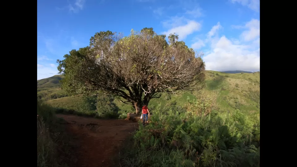
First “Ontimara” to “Second Ontimara”. This stretch lasts for about 4 km. Trail is through meadows and forests. It is modestly gradual ascent and kind of warm up for the trail ahead. Second Ontimara is in midpoint of the trail.

Second ontimara till final stretch: This is roughly 2.5 km stretch. There are couple of steep climbs in this stretch
“The final stretch”: It lasts for about 2 km and it is the most difficult trail of this trek. It is mostly steep climb through meadows. But If you have the stamina to climb, you can enjoy the view of the beautiful valleys towards the left side during the climb. On the other end after this difficult climb is the beautiful Kuduremukha peak.


The view changes every few minutes in the peak with wind and clouds moving around.
Overall, it can be considered as trekking of moderate difficulty.
For moderate trekkers, it takes about 4 hours for ascent and about 2.5 hours for descent.


YouTube video (English):
YouTube video (Kannada):
How to reach:
Many trek organizers are arranging this trek. Price ranges between 3000 to 6000.
If you don’t prefer this:
From bangalore:
Either Sakaleshpura - Mudigere - Kottigehara - Kalasa - Kuduremukha or
Hassan - Belur - Mudigere - Kottigehara - Kalasa -
~325 km from Bangalore
From udupi or Mangalore, reach Karkala, then Bajagoli, SK border - Kuduremukha
From Udupi ~110 km and from Mangalore ~115 km
For accommodation, prefer some homestay in Mullodi village only to avoid any travel in morning on the day of trek. To reach Mullodi, we need to take deviation (Left when travelling from Kalasa, right when we are travelling towards Kalasa from SK border side) in Balagal.
Must Carry things:
Basic first aid kit
Poncho or raincoat - if trekking during monsoon
2 liters of water - water is available in the running streams (there are at least 6-7 of them). If you are not comfortable drinking ground water (for some reason)
Hat/Cap and sunglass
Packed food, dry fruits and energisers. It is a trek in reserved forest. So don’t expect to get anything on the way
Things to keep in mind:
Unlike before, when they used to allow 250-300 people, now they allow only 50 people per day. So if possible, plan to travel during weekdays since weekends will see more crowds. If you must travel during weekends, pre-arrange your tickets (you can check with people from Homestay where you are staying for it)
Since we need to come back to checkpost after finishing the trek by 6 pm, they won’t allow to cross the checkpost after 9 am.
Since it is in western ghats region, wind post noon will be heavy. Also considering restrictions around return time, recommended to start the trek around 7.30 am so that one can trek comfortably, spend enough time in the peak and return well within 6 pm
To avoid wildfires, they don’t allow to trek during summer days. Usually the trek closes on December 31st. So permitted time for this trek is from June to December only.
Entry fee for the trek for Indians is 500 Rs per person.
One needs to sign “I am responsible for everything” letter with personal details before starting the trek :)
Camping is not allowed at the peak since it is a reserved forest. So no overnight stays.
Nearby places:
Non-Trekking:
Kalasa
Horanadu
Sringeri
Sirimane waterfalls
Bandaje waterfalls
Somavathi/Mullodi waterfalls
Trekking places:
Kurinjal peak
Ballalarayana Durga
Bavikonda
#Aleyuga #Kuduremukha #Chikmagalur #Karnataka #trekking