
It's a long weekend. So I planned to trek Ratangad fort and to completely descend Sandhan Valley. Ratangad fort is a 2000-year-old fort, captured by Chatrapati Shivaji Maharaj in his time. The Ratangad fort and Sandhan Valley are situated in the Sahyadri ranges, near to Bhandardara lake in Ahmednagar district of Maharastra.
Bhandardara is around 60-kilometre away from the Kasara Railway Station. Ratanvadi is the base village for Ratangad fort trek, which is further 15-kilometre away from the Bhandardara .
I started my journey at 5’o clock in the morning on a local train to Kasara. Since it was the first train on the Central line, the train was completely packed, and I couldn’t manage to get a seat till the train reaches Kalyan Station. After 2 hour journey on the train, I reached Kasara railway station at 7 AM. There is a direct bus from Kasara to Bhandardara at 7 o'clock but I got late. I don't have time to wait for the next direct bus. So I decided to go to Ghoti via shared vehicle. There are a lot of shared vehicles headed to Nasik are parked on the right side of the railway station. All these shared vehicles are going to Nasik via Ghoti. I managed to get a seat in a jeep headed to Nasik. They charged me 40 rupees. I reached Ghoti within an hour. Next, I need to find another shared vehicle to Bhandardata. After waiting 15 minutes at Ghoti, I got a jeep to Bhandardara. The charge for shared jeep to Bhandardara is 50 rupees and I reached there by 10:30 AM.
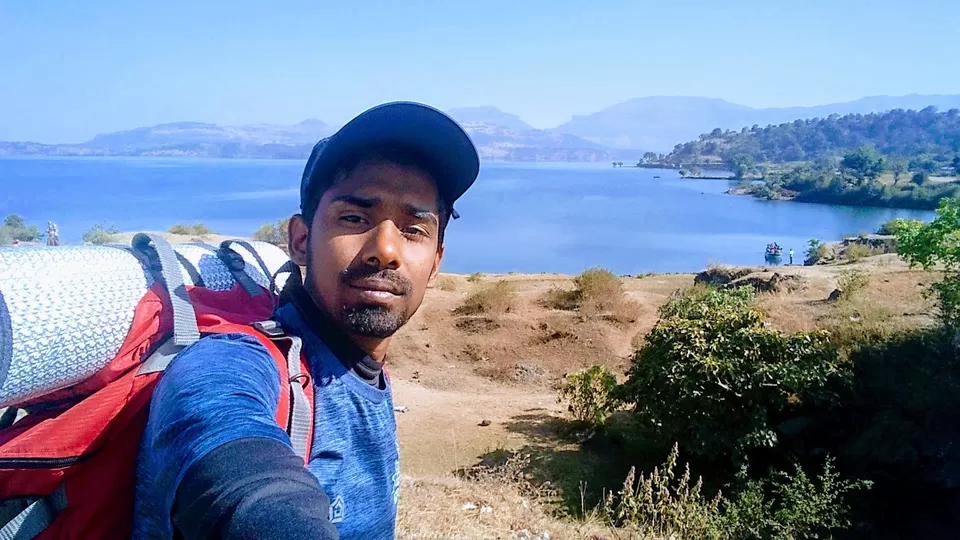
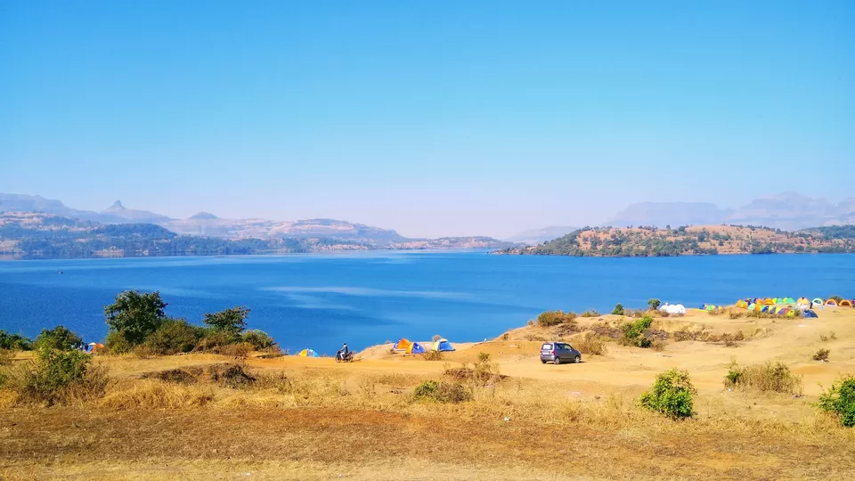
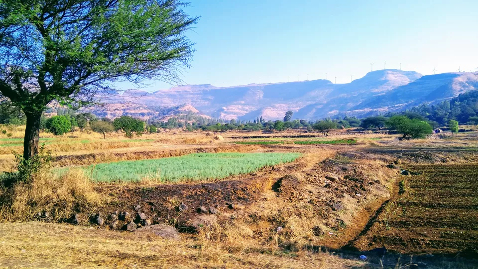
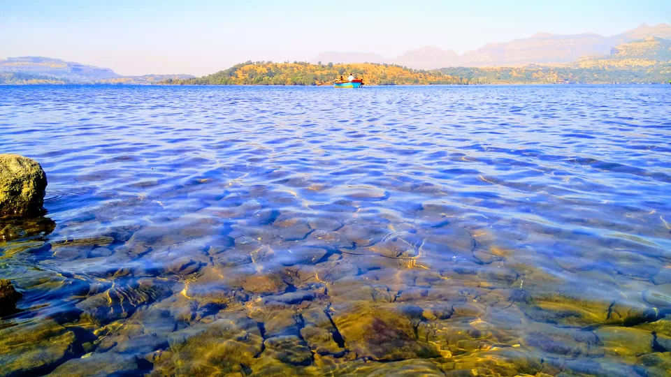
Reaching Ratanwadi is a little bit of tricky as it is very difficult to find a shared vehicle to there. So I decided to hitchhike and walked to the starting point of the road to Ratanwadi. You can enjoy the beautiful view of Bhandardara lake and Arthur dam from here. After waiting for half an hour, I managed to get a lift on a bike to Samrad village, which is the base village for Sandhan Valley. Ratanwadi is around 8 kilometre before the Samrad. The road is going along the edge of the lake, and you can see the awesome view of the lake from many points.
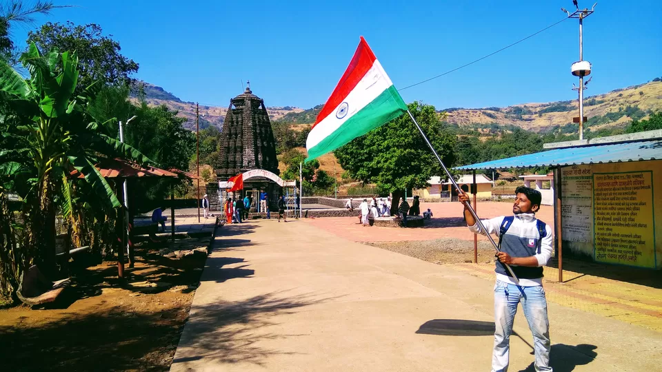
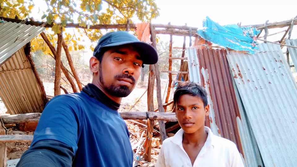
Ratanvadi is a small village consisting less than 50 houses and a popular Shiva temple called Amruteshwar. The temple is completely carved out of blacks stone and is built in 900AD. After spending some time near the temple I started walking towards my destination. The trail to Ratangad fort starts 300 meters away from the road to the temple. Even I have the GPS coordinates to the fort, I confirmed the path with a villager. Also, I have recorded the GPS coordinates of the trail that I followed and its link is available in the description part.
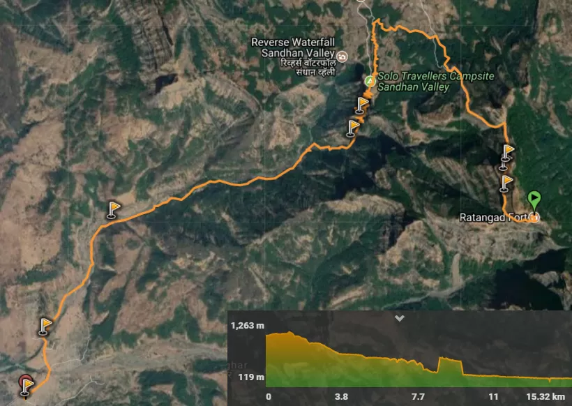
The trail to Ratangad fort from Ratanwadi is 5.3 kilometres long. It is just a beginner lever trek, and I took around 2 hours and 30 minutes to the reach the top with multiple breaks. The trail starts from an altitude of 730 meters and the maximum altitude of the fort is 1,263 meters. There is a small dam in the trail after 750 meters from the starting point. After the dam, I entered the forest and started hiking towards the fort. Now it's a 2-hour jungle walk and I enjoyed it well.
There is a meeting point of Harichanagad trek and Ratangad fort trek trails at a distance of 3.6 Kilometer from the starting point. The trail on the right side is going to Samrad village. The path on front-left leads to Harichandragad fort, and I need to follow the path on the front-right to reach Ratangad fort.
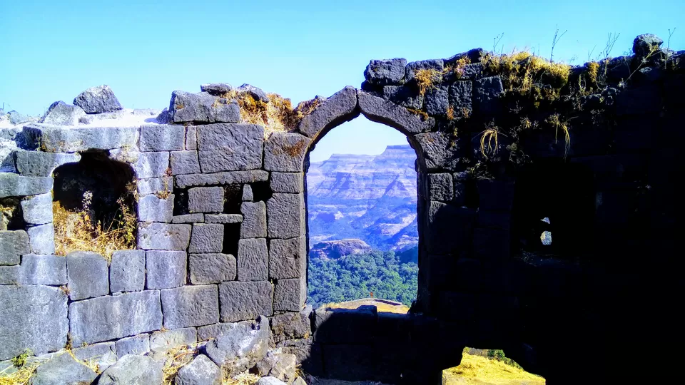
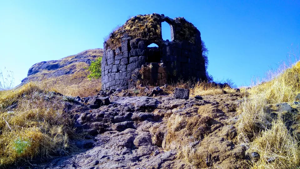
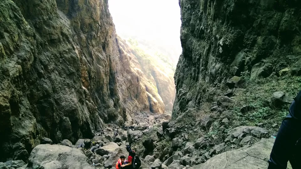
There are four entrance gates to Ratangad fort. Two of them are on the side in which I am ascending to the fort. The other two are on the other side of the fort. In the end, the trail opens up into huge rock patch. Don’t worry you do not need to do any rock climbing here. There are 3 steel ladders which take you to the top of the rock patch. Be careful while climbing these ladders as some steps are lost and broken. I kept my camera inside the bag and started climbing the ladders. Now, I can see Ratanwadi village, Bhandardara dam, Pravara river and surrounding peaks as a scenic landscape.
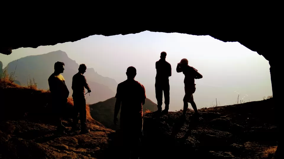
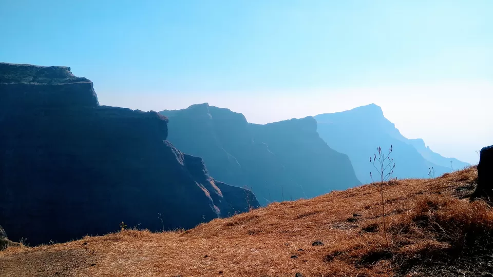
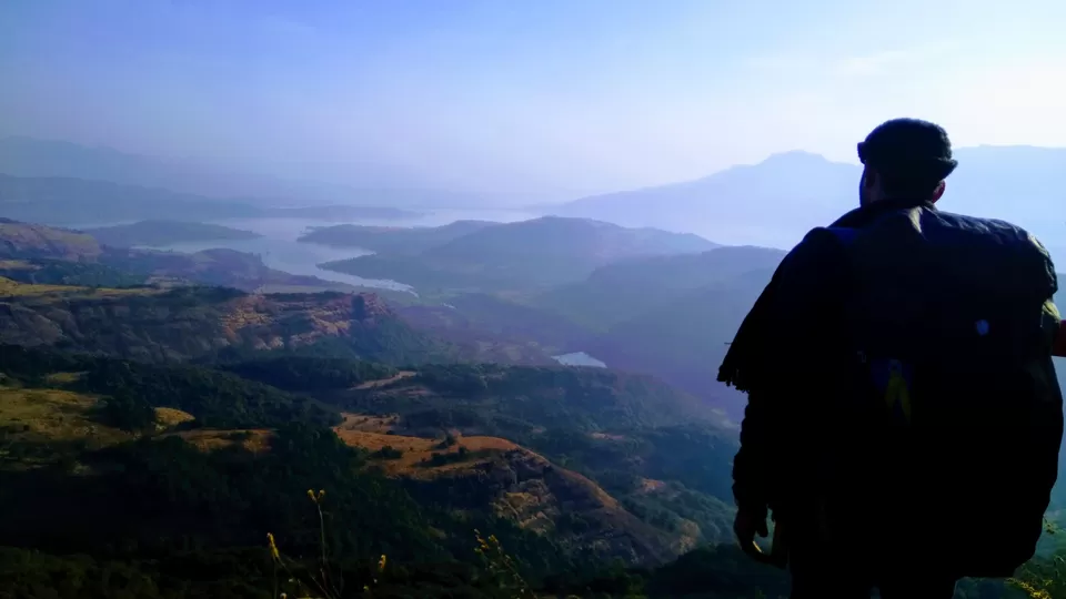
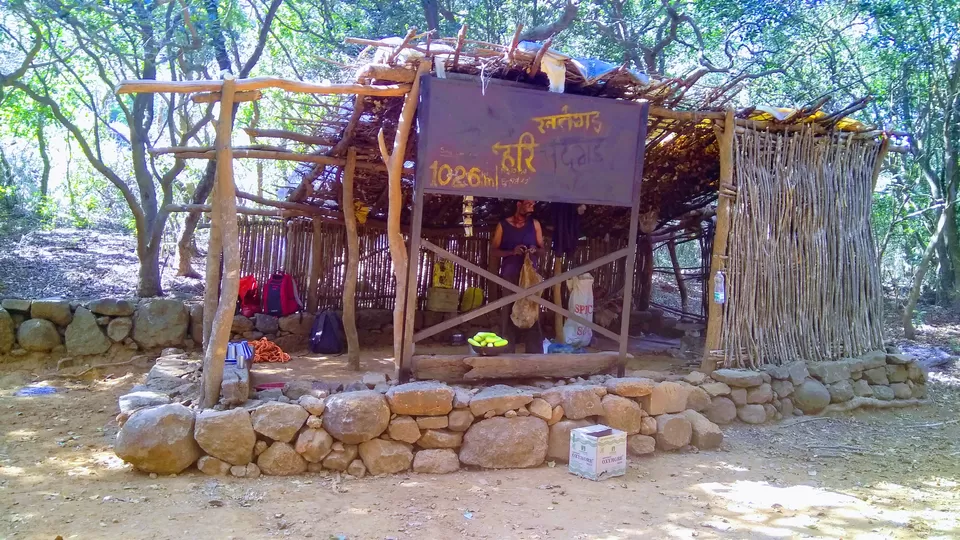
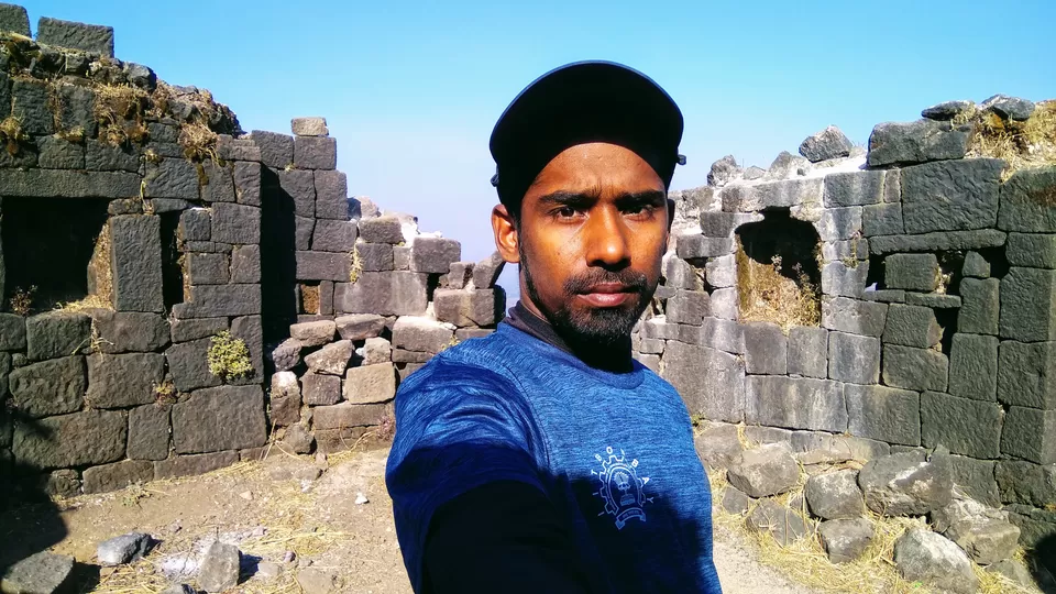
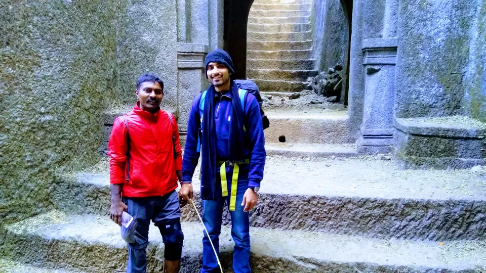
After climbing all the ladders, I reached the first gate of the fort. There is a huge cave on my right side. The cave can accommodate around 25 peoples and I am going to stay tonight in this cave. On weekends the villagers put up a shack in this cave, where you can get lime juice, tea, snacks, Maggie. They also arrange lunch and dinner on request. I kept my bag in the cave and start walking towards the edge of the fort. Now, the colossal cliffs are unfolding in front of my eyes, one behind the other. The robustness of Sahyadris can be experienced only from a few forts and Ratangad is one of them.
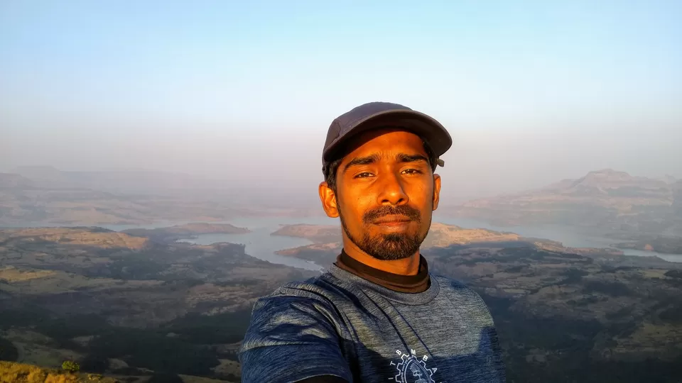
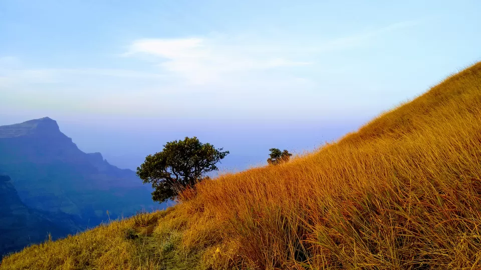
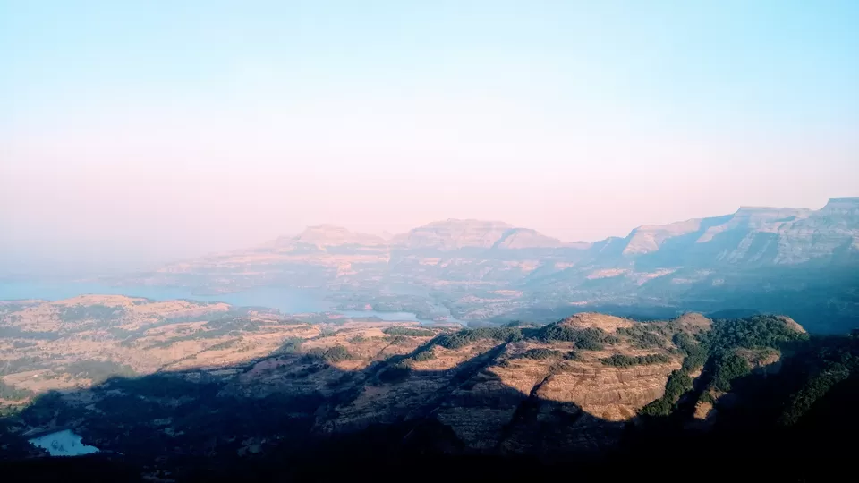
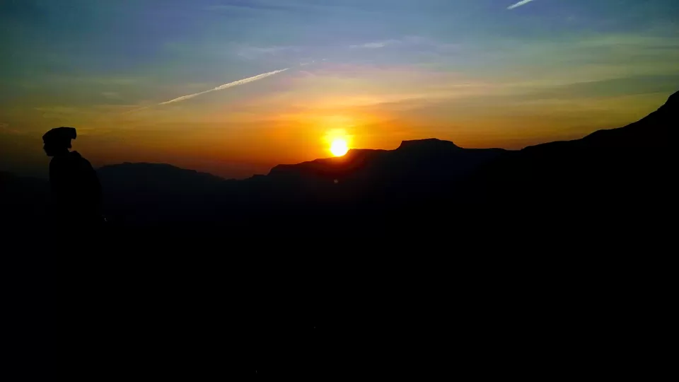
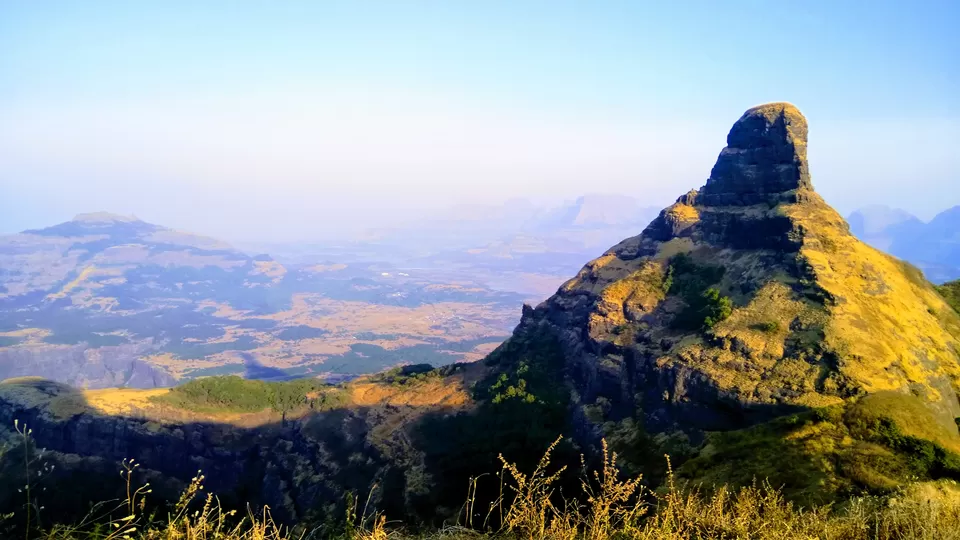
I continued walking on the trail leading to the top. There are many water tanks and cisterns on the fort. All of them are contaminated. There is an underground water cistern containing pure and chilly water throughout the year. The opening of this tank is only 2 to 3 feet height. I filled my bottles and started walking towards the top. The fort has a natural rock peak with a cavity in it at the top which is called 'Nedhe' or 'Eye of the Needle'. A stormy wind blows through the Eye of the Needle. I climbed up on the top of the nedhe. Be very careful while doing so. I am now at the highest point of the fort! The view from the top is mesmerising with a complete 360-degree panoramic view. I sit here for a while to enjoy the beautiful sunset.
After watching the beautiful sunset, I went to the cave and started preparing my dinner. I really enjoyed eating the dinner under the sky by seeing the cliffs of Sahyadri hills. Today I am going to stay in the cave. I will start trekking towards Sandhan valley by tomorrow early morning.
This is the second of the trip. I woke up at 5 at the cave. Since the cave was full of darkness, I waited for some time. While I came out of the cave, I realized that sun rays had started bursting and the horizon was yellowish. I felt as if the sun was peeping at me through the ghats. I enjoyed the beauty and serenity.
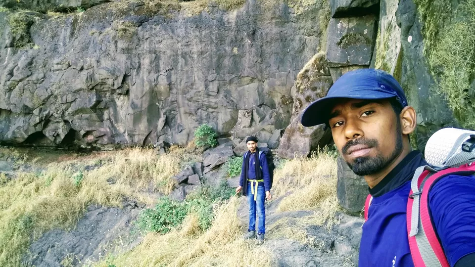
Today must be a long trek. Firstly, I need to go to Sandhan Valley and descend it completely. Then to Dehene village. Samrad is the base village of Sandhan Valley trekking, but I don't need to go there. I have another route which will take me to the starting of Sandhan Valley trekking point. Sandhan Valley is situated at a distance of 4.7 km from here. I have got a company of two people, Mahesh Pawar and Avinash Pratap Singh, both of them reached Ratanghat fort in the early morning after a night trekking. They had planned to return back to Ratanvadi, but with an interest in my plan, they agreed to trek Sandhan Valley with me and then return to Ratanvadi.
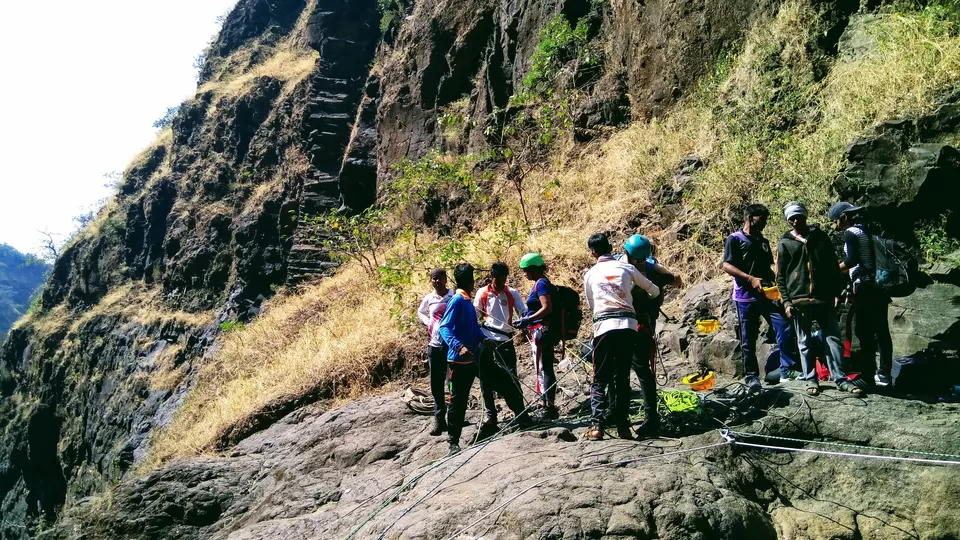
The trail to #Sandhan #Valley is starting from the #Tyrambak #Darwaza which is on the other side of the fort. we started at 7:30 and reached at Tyrambak Darwaza within 30 minutes with some breaks to fill the water bottles from the underground water cistern and to shoot some snaps at Nedhe, The Needle of the Cave. Now, there are more than 75 steep steps on the rock and thus the altitude is changing rapidly. Surprisingly the other side of the fort is still wrapped in the darkness and the view of ghats from the darkness is quite soothing.
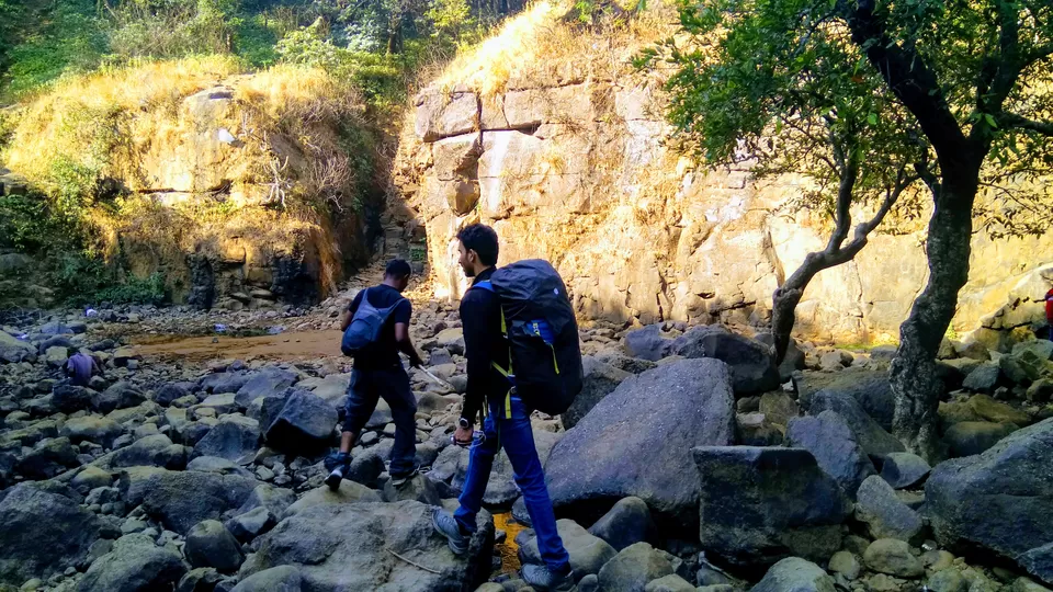
We have reached a small forest filled with small pieces of rocks on the trail. After one km trekking descending through this forest, we reached a dry field and again walked towards Sandhan Valley. After having a stop for breakefast, we reached Sandhan Valley at 9:30 AM.
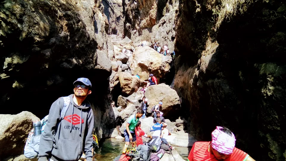
Sandhan Valley, The Valley of Suspense or The Valley of Shadow is one of the greatest canyons in the splendid setting of Sahyadri western ghats. The water carved Valley is around 4 km long and 200 feet deep. The deep narrow rock floored ravine is located between the two high walls of a mountain range. At some places, its width is less than 3 feets while at some other places, sun rays are unable to reach the ground. This is why it is Valley of Shadow!
The first one and half kilometre trail is not challenging. People make moves without any difficulty. Now we have to cross a water pool of 4 feet high. It is full mud with many travels through it. Thus, we are forced to carry all luggage on the head. My two companions left me from there and they returned to Samrat. Thanks, guys. will meet you somewhere sometime. Now, I am alone in the crowd and the remaining travel is really adventurous. Missing or slipping of one step may be missing of the life itself. There are 4 places including 2 rappeling points where I need support from someone to get down the rock patches. I got help from some other trekking groups. It is advisable not to trek here alone here. You need enough patience to get down some rock patches since there are long queues.
Finally, I did it. thank God! I took around 4.8 km to completely descend it due to the zigzag nature of rock patches. My companions returned because they heard that there was no return way to Samrat village other than a 40 km long one. it is because one can't take the return on the same route. But, I came to know that there is another way which will take you to the starting point of the trekking if you want to go back to Samrat.
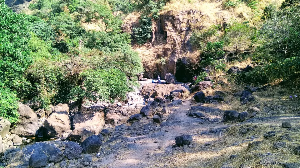
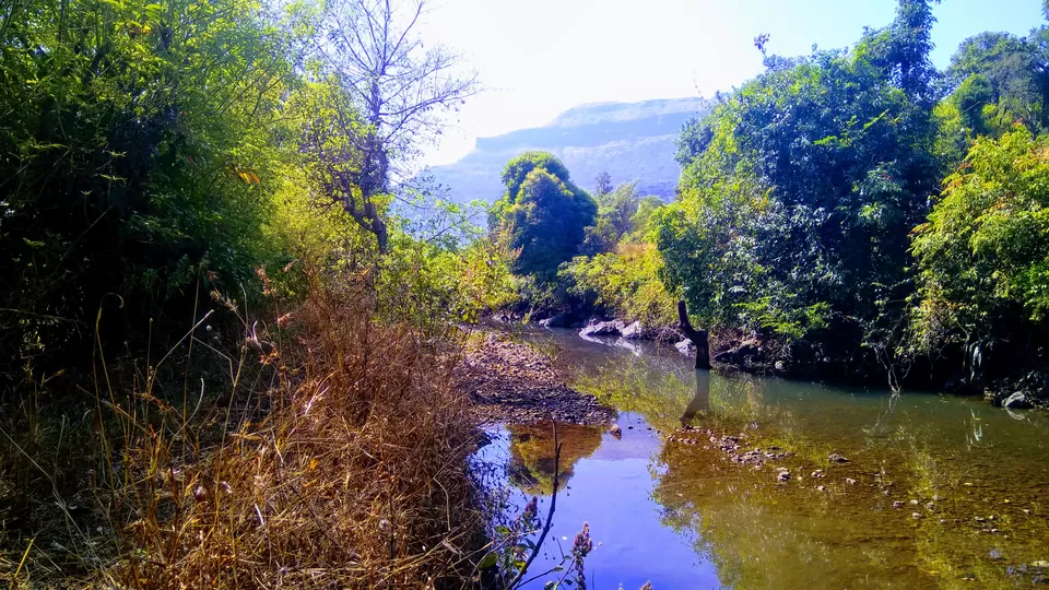
Now, I need to go to Dehene village where I will get the bus to Asagoan. Dehen village is around 6 km away from here. The trail is along the side of a dry river bed. But, some parts of the river are so fascinating with pure water. Hills are reflecting on the water. wow. beautiful.
Finally, I reached Dehene village at 4 pm after trekking of 15 kilometres. The village contains less than fifty houses. Dehene is a base village for Ajoba hill trekking. The hill contains “Valmiki Ashram” and a cave where Goddess Sita stayed with her two sons Luv and Khush. The hill got its name from the term “Ajoba” which means grandfather in Marathi – a term that Luv and Khush used to address Saint Valmiki, who wrote Mahabharat by sitting here.
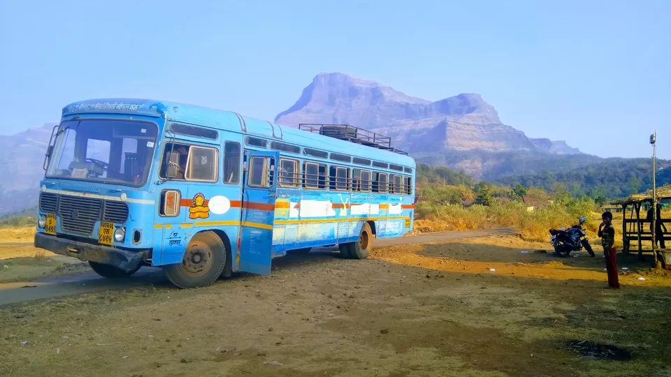
The Bus to Shahapur is available here, but not frequently. Daily, only four buses. The first bus is leaving at 6 in the morning and then at 10 am, and 2 pm. The last bus is leaving at 5 PM.
I made a walk through the village and waited for the bus in a small tea shop. The bus has reached at 5 pm and it started the travel after a waiting of 15 minutes. The bus is running only for me and a man.
After one hour and 15 minutes travel, I reached Shahapur and caught an auto to Asagoan railway station which is 2 km away from here. And, now I am back to Mumbai.