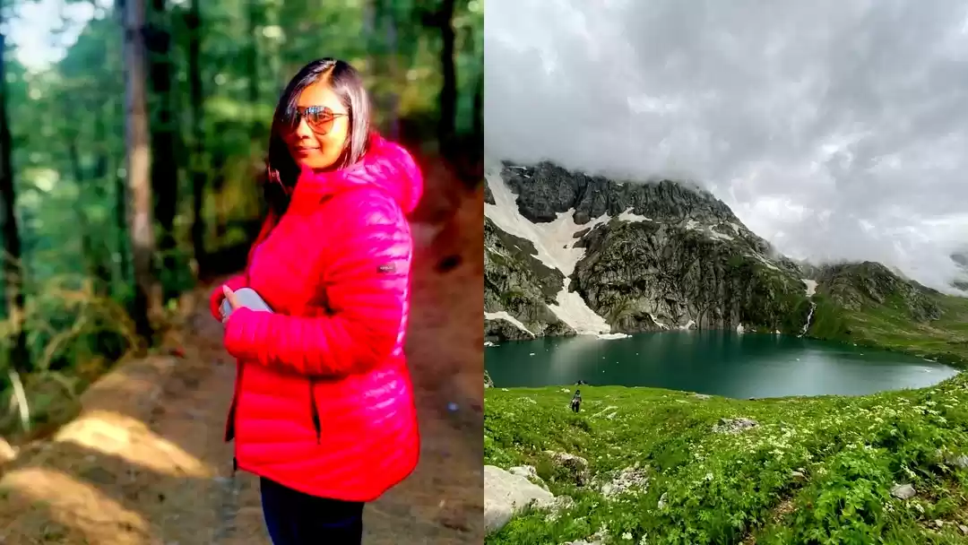
Prologue ::
Swooned over by the astral beauty of Kashmir Valley, Emperor Jahangir found poetic expression in a farsi couplet apocryphally written by a famous 13th Century Indo-Parsian Sufi Poet Amīr Khusrau :
Agar firdaus bar roo-e zameen ast,
Hameen ast-o hameen ast-o hameen ast.
If there is a paradise on earth,
It is this, it is this, it is this”
During the Mughal period, in particular, Emperor Jahangir and his wife Nur Jahan were so enamored of Kashmir that during summer they moved to Srinagar with their full-court entourage from Delhi at least 13 times. Shalimar Bagh was their imperial summer residence and the Royal Court. They crossed the arduous snowy passes of the Pir Panjal mountain range on elephants to reach Srinagar.

Beaming with reputation for its natural beauty, and justifiably so, Kashmir is poised in the tourist radar. Kashmir to be explored at least in four different seasons to get a semblance of its multi-faceted beauty.
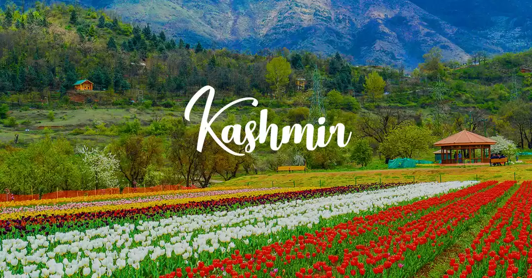
1st-2nd week of April – Tulip Bloom ( Summer )
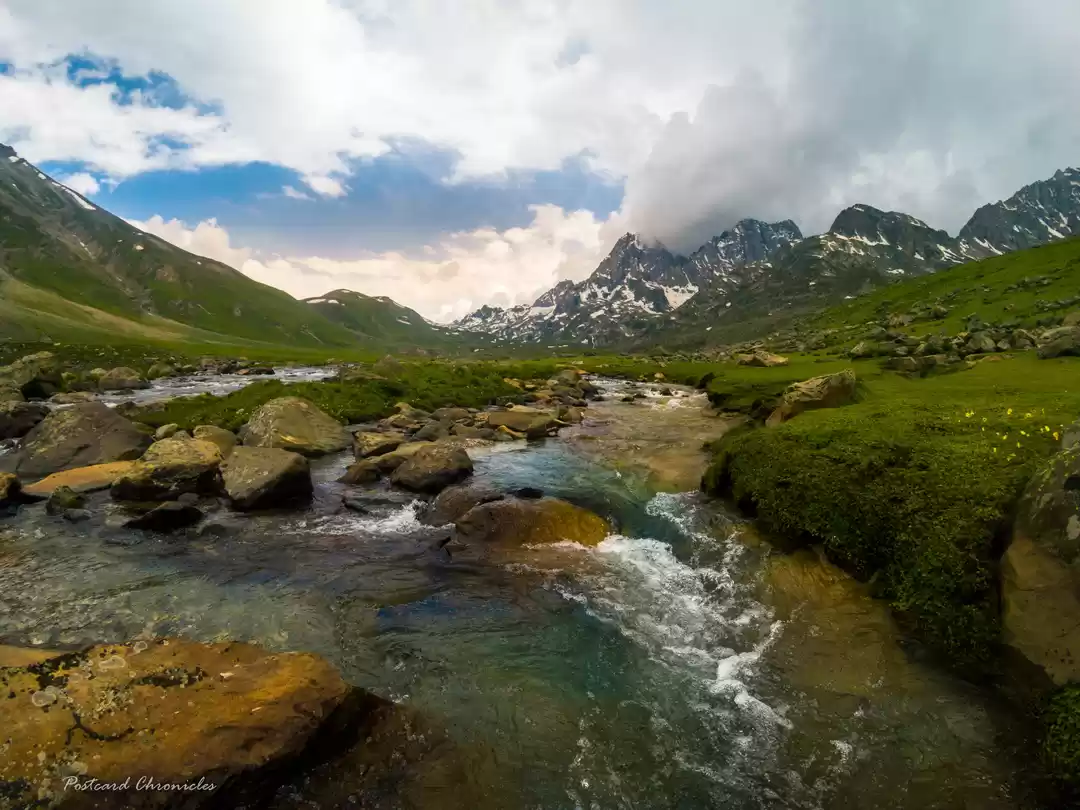
July End –Mid August – Lush Green Meadows, Burbling Streams (Monsoon)
Mid September - October – Fall Colors (Autumn )
Mid December to February – Winter Wonderland
Me already there for 3 times (summer, winter, autumn) to see the valley in different avatars in different seasons, planning a fourth in the monsoon season was in the offing. With social media started to pullulate with pictures of rolling green meadows straddling across teal colored burbling stream and coruscating under azure blue sky , nothing short of a fable – as if a sorceress had casted a spell , the itchy feet got the better of me.

Planning ::
As I already visited a couple of times the well-known touristy circuit of Kashmir (Srinagar-Sonamarg-Gulmarg-Pahalgam) , it was certainly not in reckoning. With July -Aug being an apt time to explore the high mountainous regions of Kashmir Valley , a long cherished dream of trekking in Kashmir seemed a veritable possibility .In the recent past ,more so with the advent of social media , two treks , Tarsar- Marsar and Kashmir Great Lakes ,have been catching a lot of eyeballs and appearing to be the crown jewel of smorgasbord of tramping opportunities available in the valley . However , many new trek routes ,which remained known only to the locals , are coming in the radar of outside world ,courtesy to ubiquitous social media , and enticing enough for trek enthusiasts .Be it Tulian Lake ,Kausar Nag or Kohlai glacier trek , new entrants in the ivy league , or Tarsar -Marsar and KGL ,more notable and quintessential ones ,trekking in Kashmir can be the closest of options to experience heaven ,if not heaven itself .

While planning ,the obvious choices were Tarsar -Marsar and KGL ,with proclivity towards Tarsar -Marsar Trek , being the shorter one . However, my heart was nudging me for Kashmir Great Lakes , simply because of the grandness of view it offers coupled with multitude of contours it encompasses . Other treks in Kashmir are kind of subset of KGL , if it is to be envisaged through VENN Diagram . In photographic parlance , other treks are equivalent to a crop sensor DSLR whereas KGL is full sensor one. After much of thought , I took a leap of faith and decided to go for KGL [75 kms] in lieu of Tarsar- Marsar [40 kms]. With previous trek experiences largely in the range of 40-50 kms. and no stay-in-tent trek experiences to latch on to , it was just paying heed to the heart and un-heeding all the rationale and logic that my brain was getting clouded w.r.t. not going for the KGL trek. If you don't dare to tread the uncharted paths , you will end up experiencing the same stuffs . Thus ,many a times, the gap between head and heart to be leaped with a pint of faith to have the haven't .

Unlike many other trek routes in India ,where tourist rest houses or trekker's hut or home stays are available en-route, KGL trail will give you a sense of 'lost in wilderness' although that too sometimes amiss with hoards of trekkers flocking the trail during monsoon season (Mid July - Mid Aug).Nonetheless, after KGL trek , there will be very few trails which could match the expectations - such as its grandeur .With all trekking paraphernalia (Tents, Fooding etc.) and permit formalities (forest dept. and Indian Army) inextricably associated with this trail , it would be prudent to go with a standard trek company . Even some Kashmir Tour companies or local individuals also operate KGL or other treks , possibly at a discounted price , but their reputation must be enquired. Many a times , such lucrative discounts are given at the cost of safety , basic necessities and quality. It is not unheard of some unscrupulous individuals see the peak trek season as an opportunity to dupe travelers by making tall promises ,which only to be proven blatant lies at the eleventh hour , stripping the travelers from any choice but to acrimoniously give in to the ploy .
After assiduous research , it was decided to do the trek with 'Trek the Himalayas' [https://www.trekthehimalayas.com] .

Best time to do the trail :-
KGL trail remains open only from July to September , as high passes ( 3 nos.) remain blanketed under snow during remaining period of the year ,making it insurmountable . Though the month of July harbingers monsoon in Himachal Pradesh & Uttarakhand , much famed trekking destinations abound with trekking opportunities , but its trails become landslide prone and unsafe .To a stark exception ,Kashmir receives intermittent rainfall owing to its geographical position in a 'rain shadow area' ,owing to mighty Pir Panjal range that separates Kashmir from the rest of the Indian subcontinent and thereby blocks the monsoons.
Early July – Patches of snow at higher altitudes (Nichnai and Gadsar Pass), Green starts to unravel after long hiatus, flowers beginning to bloom.
Mid-July – Mid-August – Most of the snow would have melted. This is also the warmest period in Kashmir. You will find dramatic landscapes with breathtaking colors. There will be mild showers here and there but nothing to be concerned about. (You might experience evening showers on certain days during this time of the year. This is why it is a good practice to cross the pass early in the day and reach the next campsite by or before 4 PM.)
I would suggest to zero in on 1 st fortnight of August to see the valley in full galore.
Mid-August to September – You will see a considerable drop in the temperature. Also due to which flowers start to wither away, skies are mostly clear and blue with intermittent showers. You will notice snowfall post-mid-September. Green will start to wear pale yellowish ensemble ,announcing arrival of long winter slumber.


Itinerary ***:-
While planning for the KGL trek , it was decided to add a few more days in the itinerary so to explore some of the famous tourist destinations ,easily reachable by local conveyance , so to savor resplendent avatar ,in its pristine form, that Kashmir slips into during monsoon season.
Day 1 : 05th August - Kolkata -Delhi
Day 2 : 06th August - Delhi -Srinagar -(45kms- 1.5 hrs. one way)- Doodhpathri -(130 kms- 4 hrs. one way) - Shitkadi (3kms before Sonamarg on the Srinagar LEH highway-Base Camp for KGL Trek )
*************Beginning of the trek **************************
Day 3 : 07 th August - Shitkadi (7,800 ft)to Nichnai Base Camp (11,500 ft) (15.43 kms - 8 hrs.)
Day 4 : 08 th August - Nichnai Base Camp (11,500 ft)- Nichnai Pass (13,500ft)- Visansar (12,000ft)(12.31 kms-8 hrs.)
Day 5 : 09 th August - Visansar (12,000 ft)-Kisansar - Gadsar Pass(13,700 ft) - Gadsar Lake campsite (12,000 ft)(18.08 kms-10 hrs.)
Day 6 : 10 th August - Gadsar Lake campsite (12,000 ft)- Satsar (12,000 ft)(12 kms - 7 hrs.)
Day 7 : 11 th August - Satsar (12,000 ft)- Zaj Pass (13,000 ft)- Gangabal & Nandkol Twin lakes (11,500 ft)(12.26 kms-7 hrs.)-Gangbal Camp Site
Day 8 : 12 th August - Gangbal & Nandkol Twin lakes (11,500 ft)- Naranag (7,450ft) (18 kms- 7 hrs.)
*************Ending of the trek **************************
Day 8 : 12 th August - Naranag to Pahalgam (140 kms- 3.5 hrs. one way)
Day 9 : 13 th August - Pahalgam-Aru-Betaab- Chandanwari-Pahalgam (Local site seeing - 1030 hrs.- 1600 hrs. )
Day 10 : 14 th August - Pahalgam- Srinagar (90 kms- 2.5 hrs. one way)
Day 11 : 15 th August - Srinagar - Srinagar Airport (12 kms- 45 mins one way)


***Trek distances mentioned herein above as per the digital distance tracking app installed in my mobile and timings are based on my personal experience. In most of the website , trek length is mentioned as 70-75 kms. My suggestion would be to prepare yourself to walk a distance of 85 kms. One buffer day is normally kept in the itinerary to address vagaries of weather in high altitude ,particularly mountain passes . However , if the weather is favorable , the buffer day is not used . To sum it up ,make yourself physically and mentally prepare to cover a distance of 85 kms in 6 days (14 kms. a day ). We completed the trek in 6 days , courtesy to A-class weather .

6 Days of Intense Trekking :-( Shitkadi to Naranag )
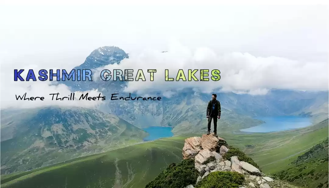
In this segment , I will raconteur about our trekking days in KGL trail encompassing 5 magical valleys and 7 turquoise alpine lakes and 3 mountain passes- probably the only trek in India which has such natural bounty in store. Before going into the detailed experience of hitting the trail , let me give you answers of three basic questions :-
Where :- It is situated 75 km northeast of Srinagar ,starting from Shitkadi , 3 kms before Sonamarg , and ending at Naranag , in Ganderbal District of Kashmir - covering a total distance of 85 kms (personal experience) .
Why :- The name of the trek is self-explanatory. Luxuriant turquoise alpine lakes ( Kisansar, Visansar, Gadsar, Yamsir, Satsar, Gangbal and Nandkol are the notable ones ) are the ones from which this trek derive its name .Though the lakes occupy lion-share of the canvas , trail's beauty have got accentuated by the mighty presence of gigantic peaks , such as -Thajiwas Peak at nichnai campsite , harmukh peak at gangbal , presiding over the valley .
And , the godly glimpse of Nanga Parvat , in Gilgit-Baltistan province , 70 kms in aerial distance from Indian Side ,peeping through a gap of two intersecting mountain slopes .
Enough of an advertisement to lure any trek enthusiast to lace up the hiking boots and hit the trail in the next monsoon.
How :- It's a three hour drive from Srinagar. Cabs are available from airport as well as Srinagar Main City. Trek company ,at the request of trekkers , also arranges pick up and drop . Though we hired a private cab , most of the trekkers used the service provided by Trek the Himalayas .
Private cab would cost around Rs.2500/- one way.
TTH Transport : Cost of the transportation from Srinagar to Sonamarg and Naranag to Srinagar is Rs. 1700/- per person based on 6-7 trekkers in each vehicle . Pick up & drop location- Tourist Reception Centre, Srinagar .
Pick up time : Around 3:00 PM and Drop Time : 6:30 PM-7:30 PM.
The campsite is situated on the banks of impetuous Sindh River ,just ahead of the steel bridge emblazoned with 'WELCOME TO SONAMARG' , around 3 kms. ahead of the tourist hotbed SONAMARG.


After exploring the valley of milk -Doodhpathari ** followed by sumptuous lunch at a dhaba, VEG KING , on SONAMARG-LEH highway , we reached shitkadi at 1700 hrs. From the highway itself , we got an overview of our campsite , situated on a grassy carpet punctuated by temporarily laid colorful tents of different trekking agencies .


After offloading our backpacks from the cab , we took the narrow sidewalk down to the campsite. One person came and inquired about the name of the trek agency ,and then gleefully pointed us towards the red colored tents stenciled with 'Trek The Himalayas' logo. It was on twin sharing basis . Me and Biraj Da got into one and Umesh da got into another one with a fellow trekker Shuvam. Once settled, I came out of my tent to absorb the vista .At a distance , setting rays of the sun created a hallow effect on the mountain top ,and a cold breeze nuzzled my face and rejuvenated me after a day long waltzing here and there. As I soddled towards the kitchen tent, smell of foods began to waft through my nostrils. It was chai -pakoda time . Trek Leader ,Mr. Santosh ,greeted me and after exchanging few pleasantries , he went away and I focused back to savour the 'delicacy'. After recharging my engine , I strolled towards the river ,flowing with its all might , only to be joined by two of my colleagues accompanying me in this trek - Biraj and Umesh.


I took out my camera and captured few snaps of the campsite and surroundings ,before darkness engulfed .We were called for a briefing session around 1900 hrs. in the main tent after all 17 trek participants reached the campsite. All of us introduced ourselves ,sharing in-brief past trek experiences . It was good blend of a team having people from across India with 'no-experience' blokes to highly experienced ones. Me was somewhere in between , with some previous experiences to harp on to. With so much of doubt and anxiety hovering in the mind , looking at the first timers helped to dispel that fear. Santosh ,the trek leader, after introducing himself , gave a sneak peak on the next day's terrain . He also shared some important tidbits to follow during such long distance trek routes. Around 2030 hrs. dinner was completed and then I hit the sack .

{**Doodhpathri is a beautiful meadow with emerald grass that looks like a green carpet. A beautiful river dancing and reverberating with the wind flows in the middle of the meadow, lending it a splendid charm and vibrancy. The place looks very beautiful and pleasant. The green grass under the feet is really wonderful.
Doodhpathri however is a recent inclusion in the Jammu Kashmir tourist map. This is the reason that the place is not overcrowded and not many tourists visit here. However, it has become a real hit among the local population, who find it a welcome step. The road from Khan sahib area in Badgam to the Doodhpathri is not in a good condition. There is not a full-fledged market or any hotel in the area, so the trip is always going to last for a day only and you need to pack your lunch. Tea and snacks are available in the shops run by local people.}
50 kms from Srinagar & 1.5 hrs.


Day 3 :- Shitkadi Camp site to Nichnai Camp site (7,800 ft - 11,500 ft / 15.43 kms. - 8hrs.)
Comforts of the sleeping bag and tent proved to be a savior from the frigid temperature outside. I had a fitful sleep at night ,possibly, as body was undergoing process of acclimatization. I woke up to a raucous call from the camp manager and squinted at my hand watch . It was 6'O clock in the morning and the chill was felt immediately after removing the head cover. One of the most challenging part of travelling in mountains ,what I felt over the years , is the morning itself ,when you have to let go comforts of the warm bed and brave the cold. Somehow , after mastering courage for 15 minutes , I got out of my red colored tent only to be greeted by the crisp chill in the air. As I slurped morning tea on the banks of Sindh , a clear ,rain-drenched morning welcomed us ,with puffs of cloud sitting high above on the thajiwas mountain at the backdrop. Breakfast ,namely -Poori-Sabji to Upma to Cornflakes, was served around 7'O clock in the kitchen tent. Once the entire team completed their breakfast , around 7.30 am , we assembled to learn a very important nugget of trekking that is too pack the tents ,which eventually become an effective warm-up & team bonding exercise . Believe me !!! It's a tricky exercise . Some groups who got better with 'wrapping -up' over days started to help other - a great way to develop camaraderie - much needed in high altitude, long distance, treks .

We started trekking around 8.30 am ,with much of enthusiasm. Today's trek consisted of a 4 hour ascent followed by a 1.5 hour descent and finally a gentle 2.5 hour ascent to Nichnai campsite. The trail winded upward from the Shitkadi campsite, with Thajiwas Mountain looming large on the backside. With occasional monsoon rain during July –Aug in the valley, it was brimming with life all round. Such was the beauty of the valley beneath, accentuated by the perfect weather condition, our walk was getting halted every few steps only to bask in the astral beauty got unfolded in-front of us. We reached a wide grassy plateau, encircled by gargantuan mountains, after 30 minutes of walk in the gentle upward gradient. The trail further meandered up ,ending in a table-top shaped vast meadow overlooking luxuriant Sonamarg Valley . We took a pit stop of 15 minutes up there , catching our breathe ,fueling the engine & soaking our eyes with the microcosmic view of Himalaya. You can't help yourself but to feel enmeshed with the panoramic view unfurling in-front of.


Our Guide's reminder brought us back from the poetic allusions to the reality of the long arduous trekking day ahead. Maple and Pine tree line started with a few steps ahead . The trail was flanked by dense forest of maple and pine trees , somewhat lessened the physical enervation of braving the steep ascent under scorching heat of morning Sun. As we were going in the higher reaches of the trail ,the view of the valley behind became better and better.


The streams, the meadows, the pines and the town nestled is nothing short of a leaf out of fairy tale story book. The Maple forest ended at the top of the ridge and, on the other side, the slope gently descended down and un-rolled into a wide grassy turf. The climb was now over . The meadow was lined on the left by Silver Birch trees and a few shepherds' huts. The view of the Sonamarg valley was now obstructed by the ridge ,with only the top of snow covered peaks visible . Reached Shekdur , as locals called it.


Small brooks which crossed the meadow served as water sources. On the right were small peaks with snow powdered tops, giving a sweeping view of the luxuriant stretch. Here, we had our packed lunch surrounded by pristine nature. One hour of gentle descent through the Shekdur meadow marked the beginning of a forest of Bhoj or Silver Birch. Another 1 hour of descent through the Sun dappled forest trail met us with a river valley ,which was the beginning of Nichnai Valley. We were in a wide valley surrounded by snow cladded mountain peaks .


The river, which joined the Sindh eventually, was piercing the valley impetuously . The first 30 minutes was over the rocks needing minding of every steps . An hour of walking through the treacherous bolder segments, green patches opened up. The wide river valley ,a lush green carpet like stretch , in between the two mountain ranges , dissected by sparkling glacial stream , signaled our arrival to the destination - Nichnai Camp Site .


Tents were set up on the flat on the riverside ,with gigantic tooth massifs all around. It was 4'o clock in the afternoon and 16kms. of intense trekking in the first day of week long gallivanting.


Day 4 :- Nichnai Camp site to Visansar Camp site (11,500 ft - 12,000 ft / 12.31 kms. - 8hrs.)
Nip in the air was felt immediately as I craned my neck outside the comfy sleeping bag. It was 6.30 am ,and some of my trek mates already ambling outside ,chit-chatting ,sipping the morning chai. I kept vegetating inside the sleeping bag for another 30 minutes ,when the trek leader yawped us for running late . As I unzipped the tent and crawled outside , a chilled morning osculated my bare face and immediately, shiver ran down through the spine. However , after spending some time in the open with bit of warm-ups , I felt comfortable .Adjacent mountain peaks were glistening in the sunray ,and the azure blue sky was streaked with formation of cirriform clouds - impeccable himalayan weather for trekking . We completed our morning routine (tea-breakfast-tent wrapping) around 7.45 am ,and then huddled together for warm-ups and a brief of today's trail. With incantation of 'Shiv Sambhu' , another long day of trek began @ 8.30 am.

Today's trek profile involves steep ascent to Nichnai Pass ( 13500ft) ,followed by gentle descent for an hour or two ,and then long walk on a flat meadow to finally reach Visansar Camp site.
Nichnai top is visible ,although microscopic , from the Nichnai campsite itself . Trail started along the left bank of the mountain stream . After walking for 30 minutes , the river was crossed by maneuvering on the loosely placed boulders in the stream .


The trail impetuously ascended from the right bank ,all the way up to the Nichnai top (13500ft.) .Given the brevity of time , gaining such altitude (11,500 ft -13,500 ft ) can have an impact on the body . Initial segment of the trail was narrow with loose pebbles were making it even more difficult to walk on. After ascending for 2 hours in that narrow pathway, trail opened into a rolling green meadow ,which eventually transitioned into a table top area ,from where you get an overview of distant Sonamarg valley with Sindh river glistening in midday sunlight .You might get a feeling that Nichnai top had arrived but only to get dismayed to know another vertical section to be braved ,the last stretch of assent for today. Once we reached there , took a pit stop to capture few photographs and much needed snack and drinks break to re-vitalize the body.


From here steady uphill climb of another 2 hours ended up in Nichnai Pass (13500 ft). In this section , few patches of green could be seen here and there with largely greyish area ,full of loose rocks and boulder. BSNL phone network tends to work here most times. This is the last point on the trek where you get phone network. The next sign of network is only when you move beyond Gangabal. The Nichnai pass was an wide open channel ,a ridge ,giving access to another valley in this kaleidoscopic KGL ensemble. Ridge was flanked by snow cladded vertical tooth massifs on the left and a hillock on the right .


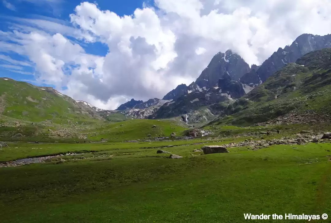
The good news was that the rocky trail descended from here on, and that too rapidly. Once we started to climb down , another flower freckled meadow greeted us with open arms on the other side of the ridge . Rolling Green carpet was swarming with yellow globe flowers ,embellished by occasional presence of Bistorta Affinis /Himalayan Fleece flowers .


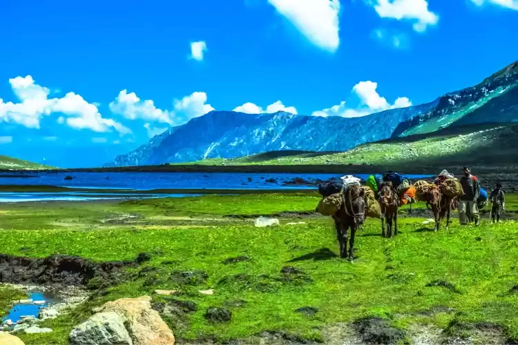
We were literally walking in a paradise. The descend continued for another one hour with gigantic peaks all around .What saw ahead was a wide flat meadow stretching for miles with mountains lining the sides. A new river flowed down from the pass into the meadow ahead. It was a sight straight out of a fairy tale world. Sweeping view of verdant pastures and flock of sheep were grazing carelessly. In the nature , we were nothing but intruders. We dallied through the meadow for two hours and reached the end of the valley.


Another stream was flowing perpendicularly from our left to right. This stream originated at the Vishnusar lake which was a bit higher .The lake was not seen yet and couldn't be seen from the camp site. Our tents were pitched near to the stream.


After offloading the bag and having some refreshments , it was time to explore the second tranche of lakes i.e. Vishnusar ,which situated 0.5 km to the left and 100 feet above the camp site. As we still had 2 hours of sunshine left , we headed left from the campsite and followed the stream without crossing it. It took around 15 minutes to reach the lake after crossing the ridge. The reflections were of the surrounding peaks on the lake water was enthralling. With every minute ,as the Sun was getting closer to the horizon , the color of the lake changed and changed drastically ,from cerulean blue waters to the teal hue. Mother nature was playing its own magic and we human beings stood transfixed in the chilled afternoon hours -reinvigorated . I came back into the comforts of the camp around 1700 hrs. , with chilled breeze made it impossible to stay any further.


Day 5 :- Visansar (12,000 ft)- Kisansar Lake - Gadsar Pass (13,700 ft) - Gadsar Lake campsite (12,000 ft) (18.08 kms-10 hrs.)
Yesterday night had a fitful sleep as the chilled wintry air was piercing my visage ,just like a needle into a dough . The eerie silence of the wee hours was broken by the pitter-patter of raindrops and occasional neigh . Even -10 deg sleeping bag was finding it difficult to brave the chill outside . I changed side quite a few times ,which is bit difficult while sleeping inside a sleeping bag ,and curled my body - in a natural reaction to the frigid condition . Slept a bit in the early morning hours only to get woke up by a loud call from the trek leader ,Santosh. There was a palpable excitement amongst group members as today was going to be the most challenging day ,from what we had read in the internet , in our peregrination. Lot of trekkers ,guide informed , find it difficult to surmount the Gadsar Pass - owing to its high altitude -highest point in the trek . High possibility of inclement weather ,sometimes accompanied by snowfall , at such high altitude makes it difficult for trekkers to cross the pass . Be that as it may we started the day with chants of Lord Shiva after usual morning chores (skipped mention to avoid regurgitation ).Trail gently went upward from the Visansar campsite . 20 minutes into the trail , a teal colored limpid lake , on the left , at the base of a jagged massif enthralled us with its iridescent waters. Reached Vishnusar or Visansar - second major lake in a bevy of lakes to be encountered in this scenic trail.


In another 1 hour along the pencil thin trek route , we encountered another effervescent lake i.e.Kisansar or Krishnasar (Sar means lake). It was huge and cerulean blue waters were coruscating in the morning rays of the Sun. It has a big meadow stretching on its right. The lake and the meadow is bordered on the farther side by a ridge line that raises sharply. The trail climbed up to the top of the ridge and on the top of the ridge is the Gadsar pass.Spent some time at the Kishansar meadows photographing the lake from various angles.


The next part of the trek is from Kishansar lake side to the top of the ridge, Gadsar Pass , along the pencil thin line traversing through the mountain side. That is your track to follow. It is a two hour vertiginous climb to the top of the ridge in a moderate pace. 45 minutes into the climb, here came the postcard perfect view of the trek ,which often adorns the glossy brochures of the trek company as well as their web-portals . Both the Kishansar and Vishansar lakes were in their full glory ,osculating for screen space . The view of the twin lakes lasted till the time we reached the ridge top or the Pass. This is called as the Gadsar pass, altitude 13,700ft , the highest point on this trek. All these lakes are classified as Oligotrophic lakes(with low organic content and a greater level of oxygen these lakes have very clear and drinkable water).


On the other side of the Gadsar pass stretches a long valley with 2-3 small lakes visible. It is not uncommon to find snow at the Gadsar pass and also in the initial parts of the descent to the other side. The descent was never ending and put the knee on a test. The first small lake that was seen on the left is the Yamsar lake. The locals believed that lord Yama had some association with the lake. An hour of descent led us into flat meadows again ,which was freckled with purple and yellow globe flowers.


We soddled on the flat trail for another one hour and came across another turquoise lake , Gadsar Lake , one of the prettiest in the trail. What a jaw dropping view with gargantuan peaks were standing tall just like a caring mother .Blue flowers sprang up on one side of the carpet which rolled down into the lake , and snow slabs ,fallen from the mountains above ,were floating into the lake on the other side. The Yamsir, nameless lakes and Gadsar are all connected by a stream as water flows from the higher lake to the lower.


Continued on the downward trail from Gadsar and in half an hour the valley widened up. Owing to change in altitudes , the snow cladded mountains gave way to lower barren mountains. In another half an hour down the trail, a few Shepherd huts came up. After 2 hours or so from the Gadsar lake, Gadsar army camp , a small hutment housing 5-8 army men, came. Our camp was set up just on the opposite ( to army camp) bank of the burbling stream. After an enervating walk of 10 hours with many ups-downs , we reached Gadsar Campsite around 1600 hrs. It was time to lounge in languid oblectation of a day full with out-worldly experience.


Day 6 : Gadsar Lake campsite (12,000 ft)- Satsar (12,000 ft)(12 kms - 7 hrs.)
Gadsar to Satsar trail was a breather after an enervating hike of last three days at a trot. The trail initially descended (for 1.5 to 2 hours) , followed by a steep ascent (for 2.5-3 hours) and then gradually smoothed out to a vast expanse of a meadow (2 hours) .
Started our trek around 8'o clock so to have good amount of time to savour the pristine Himalayan beauty .No sooner had we started the trek than a burbling stream was to be crossed ,and follow the trail heading up to the mountain. The trail now looks like a typical western ghat trail. The terrain feels very similar. You are just above the tree line. Trees and the river valley are visible below you. Here came the surprise . The Godly glimpse of Nanga Parvat ,situated in Gilgit Baluchistan Province of PoK.


The trail bends round to the left and leaves the river valley. You are now walking on a flat trail surrounded by mountains on a meadow. To your right are a few deep craters. This place is called as Maengandob. The landscape ahead is captivating. Isolated mountains stand in front. Towards the right is a small ridge. In between is a flat green bed with a stream flowing in between.


After taking bit of rest and devoured the dazzling beauty pervading in this verdant valley , we continued our trek and came across first tranche of lake in a series of seven lakes , popularly known as Satsar( Sat=7+Sar= Lake). All these seven lakes are connected with each other .Some were dry and small but the largest of them all was glistening in the afternoon sun and the skull of a cow or a lamb carefully placed on one of the stones lent a mysterious aura to the already dramatic landscape. Banks of these lakes were pullulating with yellow globe flowers ,sparkling in the afternoon rays. Our camp site was set up at the end of these seven lakes. We reached the campsite around 1430 hrs . and had our hot meal ,which was a booster in the cold . Army Personnel came to the camp to check the IDs of trekkers with detailed list already available to them .


Day 7 : Satsar (12,000 ft)- Zaj Pass (13,000 ft)- Gangabal & Nandkol Twin lakes (11,500 ft)(12.26 kms-7 hrs.)- Gangbal Camp Site
Our trekking started with the crossing of an ice cold stream right next to Satsar camp site. The view from Satsar campsite is heavenly. Soon after crossing the stream , ascent to Zaj Pass started by maneuvering the trail full of huge boulders. This was perhaps the most difficult section ,what I feel in retrospect , in the entire trek .Literally ,spider walked through the maze of gargantuan boulders - felt like Bear Grylls performing his daredevilry in the sequestered corners of High Himalayas. Trek poles are of no use in this treacherous section. Care has to be taken while crossing over these boulders as one wrong step can prove to be fatal.


Continued trekking across these labyrinthine boulders for another 1.5 to 2 kilometers after which we heaved a sigh of relief ,only to meet the next challenge of braving another vertiginous ascent to Zaj Pass ,but not that perilous as the hike was on a vast meadows. I saw some shepherds or Gujjar’s huts in the mountain slopes. We kept walking for almost 4 hours and finally reached Zaj Pass (13000ft) , the last mountain pass in this scenic preignitions.


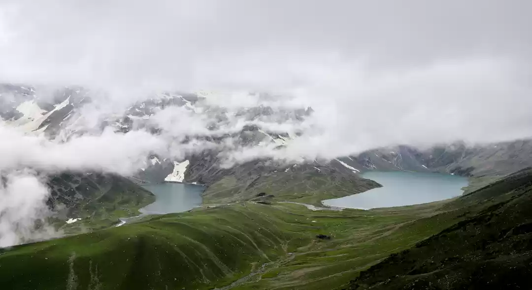
From the ridge, we encountered a breathtaking view of Gangabal lake and Nundkol lake , appearing as twin lakes. All the searing pain in the torso vanished in a moment. Trekkers were standing transfixed with the ineffable vista unfolded . Words fall short and silence was the only way to appreciate such non-pareil beauty ; as if we landed in some terra-incognita .The Gangabal lake and Nundkol lake exuding effervescence in their cerulean blue avatars and bewitched the gaggle of trekkers standing on the ridge. Gangabal lake is bigger than the Nundkol lake ,with stream of flow from one lake to the other. Spent some time here and got some good landscape shots. Puffs of clouds were floating in their nonchalant stance and played hide and seek with the lake. Gangabal Lake is situated at the base of Mount Harmukh, which is considered a sacred mountain by Hindus. The view from this point is so beautiful that you will forget all your tiredness or sickness of any kind.


From the ridge ,which is at 13400 feet, was the steep descent all the way down to 11500 feet. Be careful as you go further down because the descent is steep and knees are subjected to wear and tear. After an enervating walk down the hill ,full of boulders and pebbles , for 2 hours , we reached at the base . As it was our last day in the trip , I dared to indulge in a long cherished desire to take a bath in the icy cold waters of a glacial stream ,flowing timidly through the valley , hurtling down from the nearby Gangabal lake , formed by the melting glaciers of Mt Harmukh. It was chilling yet refreshing (though not recommended ).It was after six days , I took a bath , that too in the frigid waters . It was a calculative risk as tomorrow we would descend down to Naranang - speck of civilization. Sat for a while and had our lunch there surrounded by lush greenish carpet .


From there , we proceeded towards Gangabal Lake - a gentle upward slope to be crossed to reach the shores of Gangabal Lake - presided over the giant Harmukh Peak. As the day passed and clouds were wheeling above the lake , the water of the lake draped in different hues - from turquoise blue to aquamarine to teal . I never ever have seen such a pristine lake .Nundkol lake is few minutes walk from Gangabal lake and lies also at the base of Harmukh peak. Harmukh had a huge snow patch which looked like a glacier form far. If you reach this camp site earlier then you can spend time going around the two lakes and also a very good place for some amazing shots.


After seeing both the lakes from close proximity , it was time to go back to the camp site ,which was set up near to a stream originating from Nundkol Lake . In order to reach there , we had to cross a wooded plank placed precariously over the impetuous rapid .
Be extremely careful while crossing this wooden log of a bridge - a misstep might end up in a fatality . I spent the rest of the sunshine hours watching a cricket match between the porters and trekkers .


Day 8 : Gangbal & Nandkol Twin lakes (11,500 ft)- Naranag (7,450ft) (18 kms- 7 hrs.)
The day's trek was a killer on the toes and knees. It was a gradual descent followed by a steep descent. From the Gangabal camp site headed down along the stream towards the tree line. Don’t walk beside the stream but walk along the ridge on the right. 1 hour into the trail,the ridge ended and descended to a green and a flat meadow on the right.


The Harmukh peak looked impressive at the back. The green meadow had little yellow flowers growing all over and had to walk gingerly to avoid stepping over them.


An hour and half out of the camp site, we saw the fringes of the tree line. Pine trees lined up the meadows and some traces of civilization could be discerned with the presence of a log hut. Do not walk into the forest directly but stick to its fringes and walk towards the right. As a trademark of this trek, you don’t lose altitude now but start to climb up a bit. You drop to 10,800 feet at the tree line but climb again to 11,000 feet. For about 6 km you never really lose altitude and you are forever around the 10,800 feet mark, making your way in and out of the Pine forest and finally entering it fully.


Only after walking for 2/3 of the distance does the true descent begin. The descent was really steep. The trail was a well-trodden, muddy and full of boulders through the thick of the pines. With the arduous trek of last 5 days , legs were hurting and grip was loosing here and there unmindfully . The boulders and pebbles over the earthen trail made it even more difficult , and often resulted into slips and falls . In the last 4 km, the drop was more than 3,000 ft. It is not rare to spot a lot of people trekking up here from Naranag, headed to Gangabal. Naranag slowly came in sight at around 8,500 ft but there is quite a bit more to go. The last stretch of the last day does become an endurance test but soon the stone-paved village track comes up and in no time you enter the main road of Naranag.(around 1430 Hours)

Hurrah !!!!!!!!!!!! We did it !!!!!!!!!!!!
We went to Pahalgam from Naranag on the same day .
Pahalgam is one of the famous health resorts of Jammu and Kashmir State. It is situated in the north east of District Anantnag among lofty hills covered with evergreen forests. Its cool invigorating and pleasant climate, the melodious flow of Lidder Nallah attract tourists not only from within the country but also from abroad as well. It was 140 kms away from the Naranag town of Ganderbal District.
Day 09 :-
We hired a local cab from Pahalgam taxi stand for local sightseeing of Aru Valley ,Betaab Valley & Chandanwari.( These are famous day trips from Pahalgam . So, not going into the details)
Accommodation :- Hotel White House ,Laripora, Pahalgam


Day 10 :-
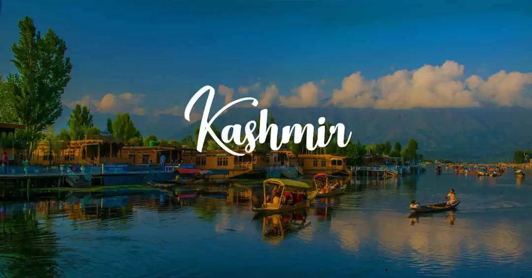
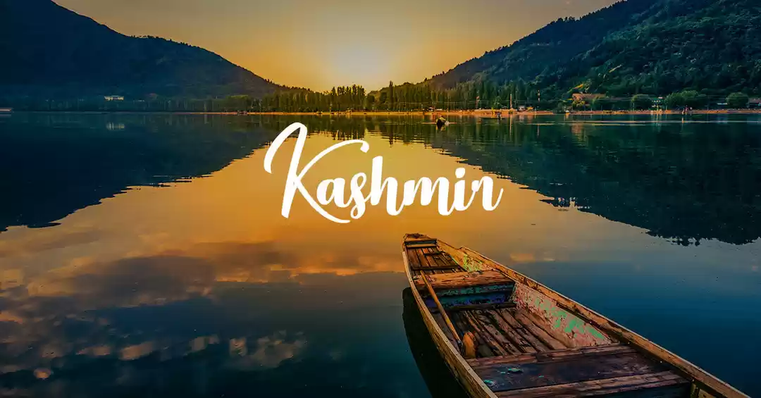
In the morning , we came back from Pahalgam to Srinagar. As it was my third trip to Srinagar , I was not much into sight seeing ,rather wanted to spend a rest day there before heading back to concrete cacophony. We went to Botanical Gardens and took a sikara ride on Dal Lake in the mellowed afternoon Sun.
However , for the first timers , following places can be visited :
✔ Dal Lake -Sikara Ride
✔ Pari Mahal
✔ Chasma Shai
✔ Mughal Gardens ,Nishat Bag ,Botanical Gardens
Accommodation :- Hotel Paradise (near DAL lake )


Epilogue :-
KGL trek , for me , was a pole-vault from my earlier trekking sojourns . This was the first time when I experienced trekking in real sense - be it sleeping in tents , or walking for a considerable time period or using proper trekking gears. Six months back , I was apprehensive about my stamina to even consider the trek ,let alone completing it . However , I kept regurgitating in a soliloquy the famous words of Randy Komisor ," And then there is the most dangerous risk of all -- the risk of spending your life not doing what you want on the bet you can buy yourself the freedom to do it later” . I took the plunge and believe me , there is no greater satisfaction than to see dreams turning into reality and then memory.
The KGL trail is difficult owing to long trekking days spread over 6 days . Climb to Gadsar is frazzling and never ending but the boulder section in between Satsar and Zaj Pass , in my opinion , was the most treacherous one. Gangabal lake stands out from the coterie of lakes ,owing to its pristine surroundings ,with Harmukh Peak standing tall in luster , and the aquamarine color of the lake water (which changes with every passing hour). Gangabal to Naranag descent brought the knees to a test owing to it precipitous drop . However , all the physical toll got alleviated by the immaculate natural beauty .
As I pen down my experience ,acknowledging the limitations of words to express surreal , the entire journey flashed just like Kopfkino ( moving cinema of experiences) . I leave you with a thought borrowed from Mark Twain : “Twenty years from now you will be more disappointed by the things that you didn't do than by the ones you did do. So throw off the bowlines. Sail away from the safe harbor. Catch the trade winds in your sails. Explore. Dream. Discover. ”
Stay Safe !!!!!!!!!!!!!Stay Healthy !!!!!!!!!!!!!!!!!!!!!!!!!! We will meet again !!!!!!!!!!!!!!!


