Singapore is known for its modern skyscrapers, bustling streets, and diverse culture. But did you know that there is a hidden gem in the city that offers a glimpse into its past and a chance to reconnect with nature? The Green Corridor, also known as the Rail Corridor, is a 24-km long nature trail that follows the former railway line that connected Singapore to Malaysia. Along the way, you can see historic landmarks, lush forests, scenic views, and diverse wildlife. Whether you are looking for a leisurely walk, a challenging hike, or a fun bike ride, the Green Corridor has something for everyone. In this guide, we will tell you everything you need to know about the Green Corridor, its history, attractions, and tips for a memorable visit.

How to Access the Green Corridor
The Green Corridor is divided into three sections: the southern section, the central section, and the northern section. You can access the Green Corridor from various entry and exit points along the way, depending on which section you want to explore. Here are some of the most popular and convenient access points:
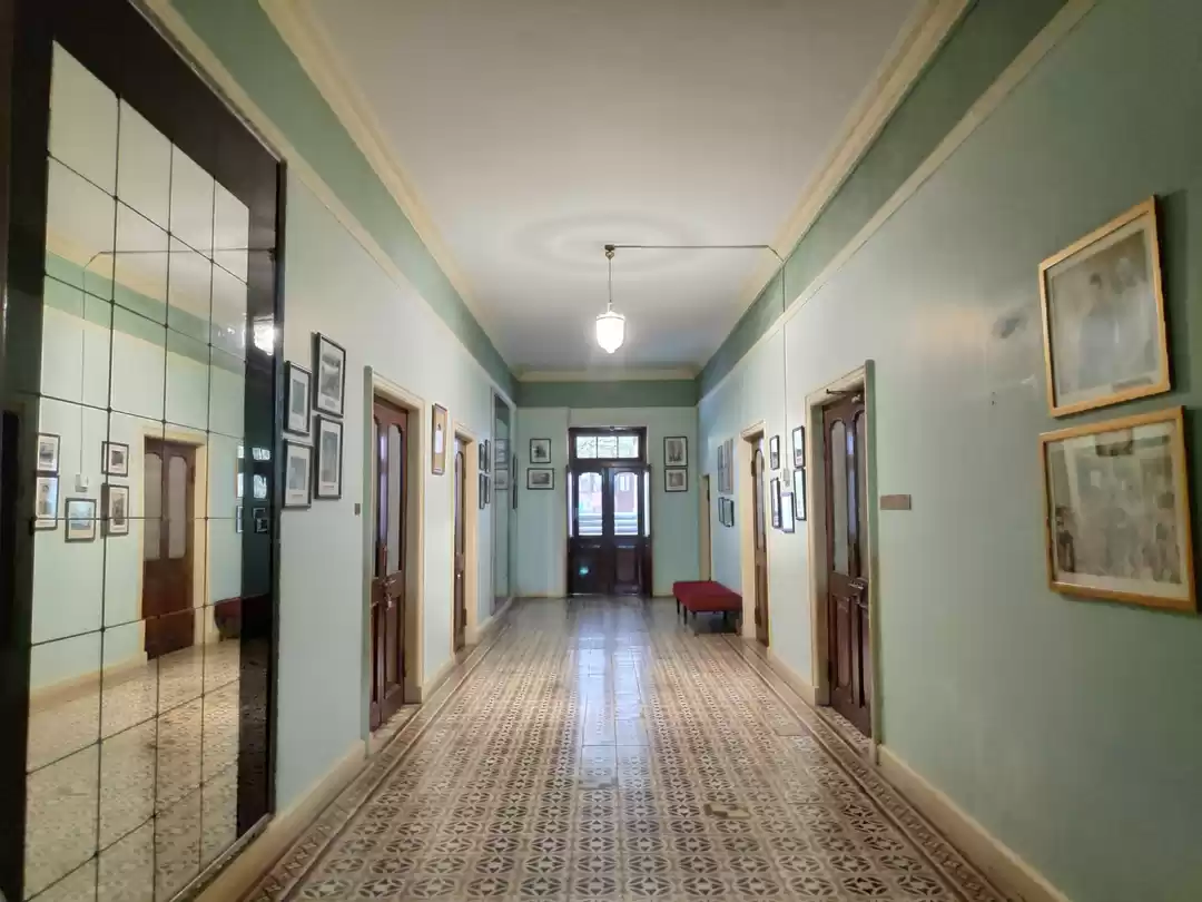
Tanjong Pagar Railway Station: This is the starting point of the southern section and the former terminus of the railway line. You can reach it by taking the MRT to Tanjong Pagar station and walking for about 10 minutes. The station is a heritage building that dates back to 1932 and features a distinctive Art Deco style. You can admire its architecture and learn about its history from the information boards outside.
Bukit Timah Railway Station: This is the midpoint of the central section and the former junction of the railway line. You can reach it by taking the MRT to King Albert Park station and walking for about 15 minutes. The station is a quaint building that was built in 1932 and has a colonial charm. You can see the old railway tracks, signals, and signs that have been preserved as a reminder of the past.
Kranji Railway Station: This is the endpoint of the northern section and the former border crossing of the railway line. You can reach it by taking the MRT to Kranji station and walking for about 20 minutes. The station is a simple structure that was built in 1932 and has a rustic appeal. You can see the old railway bridge that spans the Sungei Kranji river and marks the boundary between Singapore and Malaysia.
There are many other access points along the Green Corridor, such as Holland Road, Buona Vista, Ghim Moh, Commonwealth, Queenstown, Alexandra Road, Jalan Hang Jebat, Rifle Range Road, Hillview, Choa Chu Kang, Stagmont Ring, and Woodlands.
The Green Corridor is open 24 hours a day, seven days a week, and is free of charge. However, some parts of the trail may be closed or under construction due to the ongoing Rail Corridor project, which aims to enhance and revitalize the trail.
The best time to visit the Green Corridor is in the early morning or late afternoon, when the weather is cooler and the sun is less harsh. Avoid visiting during the rainy season, which is from November to January, as the trail may be muddy, slippery, or flooded. Also, avoid visiting during the peak hours, which are from 7 am to 9 am and from 5 pm to 7 pm, as the trail may be crowded with commuters and cyclists.
The Green Corridor is a shared space for pedestrians, cyclists, and other users. Therefore, it is important to follow the safety and etiquette guidelines for the Green Corridor, such as:
- Stay on the designated path and do not stray into the adjacent private properties or restricted areas.
- Keep to the left and give way to faster users. Do not block the path or form large groups.
- Be alert and aware of your surroundings. Watch out for uneven surfaces, low branches, or fallen objects.
- Be respectful and courteous to other users. Do not litter, vandalize, or make excessive noise.
- Be responsible and prepared. Bring enough water, snacks, sunscreen, insect repellent, and a first-aid kit. Wear comfortable shoes, clothes, and a hat. Carry a mobile phone and a map or GPS device.

The Green Corridor Sections and Highlights
The Green Corridor is a 24-km long nature trail that spans from Tanjong Pagar in the south to Woodlands in the north. Along the way, you can see a variety of landmarks, features, and attractions that showcase the history, nature, and culture of Singapore. Here is a detailed description of each section of the Green Corridor, along with the distance, duration, difficulty, and terrain of each section, and the options and alternatives for walking, jogging, cycling, or taking a break along each section.
Southern Section: Tanjong Pagar to Buona Vista (7 km)
The southern section of the Green Corridor is the most urban and developed part of the trail. It starts from the historic Tanjong Pagar Railway Station and passes through the bustling districts of Chinatown, Outram, Tiong Bahru, Alexandra, and Buona Vista. Along the way, you can see the contrast between the old and the new, the heritage and the modernity, and the green and the grey of Singapore.
The distance of this section is about 7 km, and the duration is about 2 hours. The difficulty is easy to moderate, and the terrain is mostly flat and paved, with some gravel and dirt. The highlights of this section include:
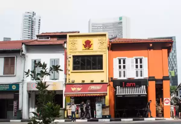
Spooner Road: This is a short stretch of road that runs parallel to the railway tracks and features a row of old shophouses that were built in the 1920s. The shophouses have been conserved and repurposed as residential units, cafes, and art studios. You can see the colorful facades and murals that reflect the history and culture of the area.
Rail Mall: This is a shopping and dining complex that is located near the Hillview MRT station. It offers a variety of cuisines, from local to international, and a range of services, from beauty to fitness. You can stop here for a bite or a drink, or browse through the shops and boutiques. You can also see the old railway tracks and signals that have been integrated into the design of the complex.
Bukit Timah Railway Station: This is the midpoint of the Green Corridor and the former junction of the railway line. It is a quaint building that was built in 1932 and has a colonial charm. You can see the old railway tracks, signals, and signs that have been preserved as a reminder of the past. You can also see the Bukit Timah Railway Bridge, which is a steel truss bridge that crosses the Bukit Timah Road.
If you want to walk or jog this section, you can start from the Tanjong Pagar Railway Station and follow the signs and markers along the trail. You can also take shortcuts or detours along the way, such as the Alexandra Park Connector, the Ulu Pandan Park Connector, or the Holland Village Park Connector, which connect to other parks and attractions in the vicinity.
If you want to cycle this section, you can rent a bike from one of the bike-sharing services, such as SG Bike, Anywheel, or Moov, that are available near the MRT stations or the access points. You can also bring your own bike, but note that some parts of the trail may not be suitable for cycling, such as the narrow or crowded sections, or the sections that are under construction. You may need to dismount and push your bike along these sections.
If you want to take a break along this section, you can find many benches, shelters, toilets, and water points along the trail. You can also find many cafes, restaurants, and convenience stores near the MRT stations or the access points, where you can refresh and recharge.

Central Section: Buona Vista to Choa Chu Kang (11 km)
The central section of the Green Corridor is the most natural and scenic part of the trail. It starts from the urban Buona Vista and passes through the green Clementi, Bukit Batok, Bukit Gombak, and Choa Chu Kang. Along the way, you can see the rich biodiversity, the lush greenery, and the stunning views of Singapore.
The distance of this section is about 11 km, and the duration is about 3 hours. The difficulty is moderate to hard, and the terrain is mostly unpaved and uneven, with some slopes and stairs. The highlights of this section include:
Clementi Forest: This is a large patch of secondary forest that covers about 85 hectares of land. It is home to a variety of flora and fauna, such as ferns, orchids, monkeys, squirrels, and birds. You can see the dense canopy, the winding streams, and the rocky outcrops that create a serene and tranquil atmosphere. You can also see the Clementi Railway Bridge, which is a concrete arch bridge that crosses the Sungei Ulu Pandan
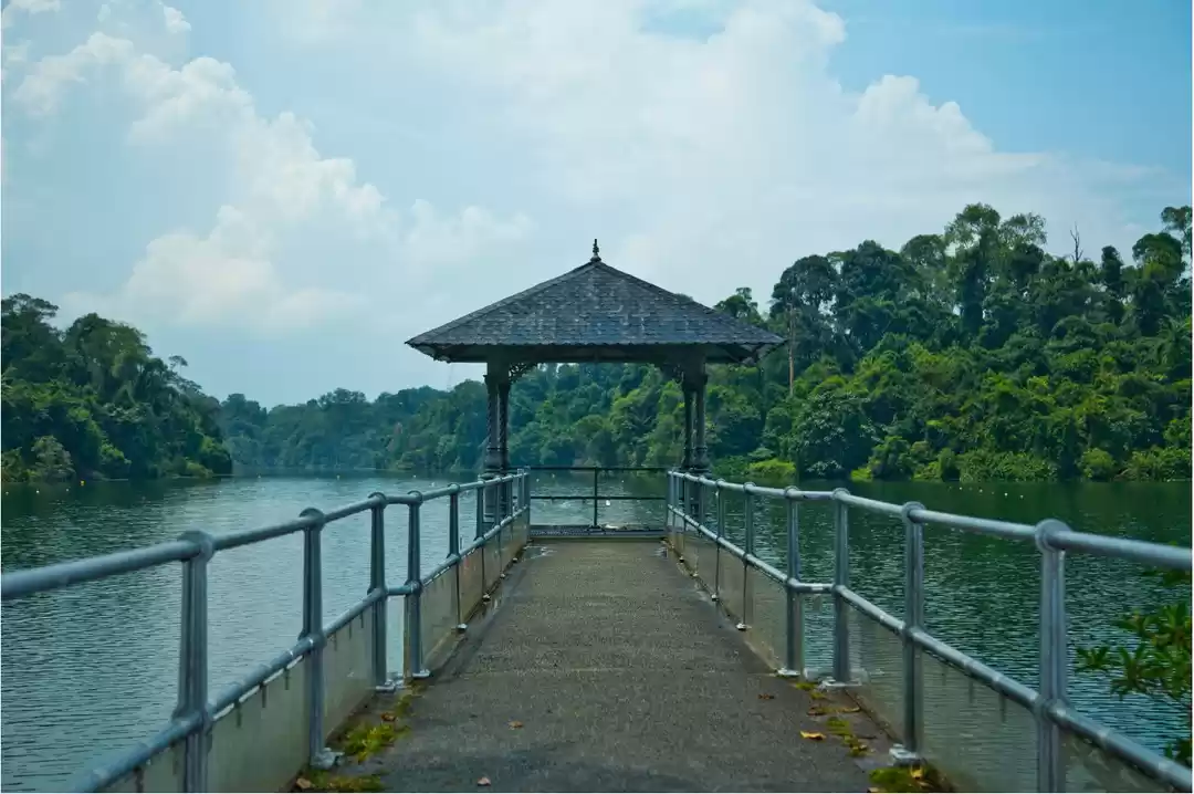
Bukit Timah Nature Reserve: This is a protected area that covers about 163 hectares of land. It is the only remaining patch of primary rainforest in Singapore and one of the richest and most diverse ecosystems in the world. It is home to more than 840 species of plants and 500 species of animals, some of which are rare and endangered. You can see the towering trees, the cascading waterfalls, and the majestic wildlife that create a spectacular and awe-inspiring sight. You can also see the Bukit Timah Hill, which is the highest point in Singapore at 163 meters above sea level. You can climb to the summit and enjoy the panoramic view of the city and the forest.
Choa Chu Kang Park: This is a recreational park that covers about 14 hectares of land. It is a popular spot for families, friends, and fitness enthusiasts. It offers a variety of facilities and amenities, such as playgrounds, fitness stations, jogging tracks, cycling paths, barbecue pits, and pavilions. You can see the lush lawns, the colorful flowers, and the serene ponds that create a relaxing and enjoyable atmosphere. You can also see the Choa Chu Kang Railway Bridge, which is a steel girder bridge that crosses the Sungei Pang Sua.
If you want to walk or jog this section, you can start from the Bukit Timah Railway Station and follow the signs and markers along the trail. You can also take shortcuts or detours along the way, such as the Dairy Farm Nature Park, the Zhenghua Nature Park, or the Pang Sua Park Connector, which connect to other parks and attractions in the vicinity.
If you want to cycle this section, you can rent a bike from one of the bike-sharing services, such as SG Bike, Anywheel, or Moov, that are available near the MRT stations or the access points. You can also bring your own bike, but note that some parts of the trail may not be suitable for cycling, such as the steep or narrow sections, or the sections that are under construction. You may need to dismount and push your bike along these sections.
If you want to take a break along this section, you can find many benches, shelters, toilets, and water points along the trail. You can also find many cafes, restaurants, and convenience stores near the MRT stations or the access points, where you can refresh and recharge.

Northern Section: Choa Chu Kang to Woodlands (6 km)
The northern section of the Green Corridor is the most rural and rustic part of the trail. It starts from the suburban Choa Chu Kang and passes through the countryside Yew Tee, Kranji, and Woodlands. Along the way, you can see the agricultural, industrial, and military aspects of Singapore.
The distance of this section is about 6 km, and the duration is about 1.5 hours. The difficulty is easy to moderate, and the terrain is mostly flat and unpaved, with some gravel and dirt. The highlights of this section include:
Kranji Countryside: This is a cluster of farms and nurseries that covers about 700 hectares of land. It is a place where you can experience the rural side of Singapore and learn about its food and flora production. You can see the crops, livestock, flowers, and plants that are grown and harvested here. You can also visit the farms and nurseries, such as Bollywood Veggies, Hay Dairies, Jurong Frog Farm, and Qian Hu Fish Farm, and enjoy their products and activities.
Kranji War Memorial: This is a memorial site that honors the fallen soldiers of World War II. It consists of four monuments: the War Memorial, the Military Cemetery, the State Cemetery, and the Memorial Wall. You can see the names, ranks, and nationalities of the soldiers who died in the war, and pay your respects to their sacrifice and bravery. You can also learn about the history and significance of the war and its impact on Singapore.
Woodlands Waterfront Park: This is a coastal park that covers about 11 hectares of land. It is a popular spot for recreation, relaxation, and fishing. It offers a stunning view of the Straits of Johor and the Johor Bahru skyline. You can see the jetty, the playground, the fitness corner, and the multi-purpose hall that are available for public use. You can also see the Woodlands Checkpoint, which is the border crossing between Singapore and Malaysia.
If you want to walk or jog this section, you can start from the Choa Chu Kang Park and follow the signs and markers along the trail. You can also take shortcuts or detours along the way, such as the Kranji Reservoir Park, the Sungei Buloh Wetland Reserve, or the Admiralty Park, which connect to other parks and attractions in the vicinity.
If you want to cycle this section, you can rent a bike from one of the bike-sharing services, such as SG Bike, Anywheel, or Moov, that are available near the MRT stations or the access points. You can also bring your own bike, but note that some parts of the trail may not be suitable for cycling, such as the muddy or rocky sections, or the sections that are under construction. You may need to dismount and push your bike along these sections.
If you want to take a break along this section, you can find many benches, shelters, toilets, and water points along the trail. You can also find many cafes, restaurants, and convenience stores near the MRT stations or the access points, where you can refresh and recharge.

The Future of the Green Corridor
The Green Corridor is not only a nature trail, but also a living and evolving project that aims to enhance and revitalize the former railway lands. The Rail Corridor project, which was launched in 2015, is a collaboration between the government, the community, and the stakeholders to transform the Green Corridor into a seamless and inclusive green space that connects people, places, and nature.
The vision of the Rail Corridor project is to create a "green artery" that links the north, central, and south of Singapore, and a "community space" that fosters social interaction, cultural expression, and environmental awareness. The goals of the Rail Corridor project are to:
- Preserve and celebrate the heritage and history of the railway lands
- Enhance and restore the biodiversity and ecology of the railway lands
- Provide and improve the accessibility and connectivity of the railway lands
- Design and develop the railway lands with the input and feedback of the public
- Manage and maintain the railway lands with the involvement and support of the community
The progress of the Rail Corridor project is divided into four phases: the consultation phase, the design phase, the implementation phase, and the completion phase. The consultation phase, which took place from 2015 to 2016, involved engaging the public and the stakeholders to gather their ideas and suggestions for the Rail Corridor. The design phase, which took place from 2017 to 2019, involved developing the master plan and the concept designs for the Rail Corridor. The implementation phase, which started in 2020 and is ongoing, involves constructing and upgrading the Rail Corridor according to the master plan and the concept designs. The completion phase, which is expected to be in 2022, involves opening and operating the Rail Corridor for the public to enjoy.

Conclusion
The Green Corridor is a unique and wonderful attraction that offers a different perspective of Singapore. It is a place where you can experience the history, nature, and culture of the city in a fun and meaningful way. Whether you are a local or a visitor, a nature lover or a history buff, a walker or a cyclist, the Green Corridor has something for you.
So, what are you waiting for? Grab your shoes, your bike, or your friends, and head to the Green Corridor for an unforgettable adventure.