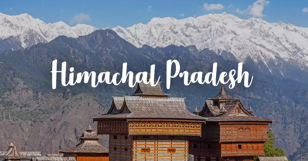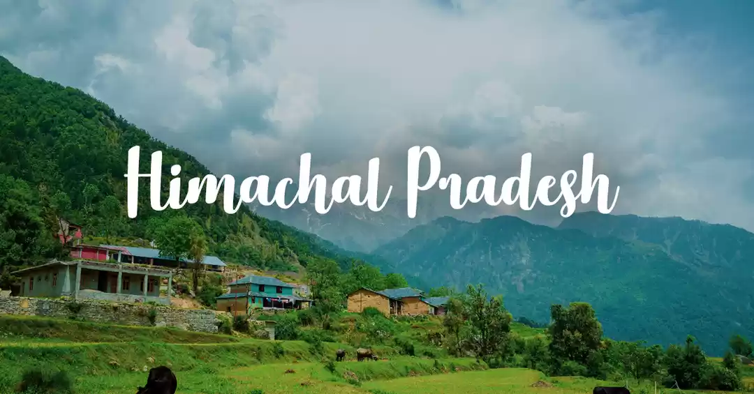


Road where history speaks
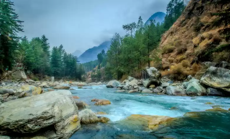
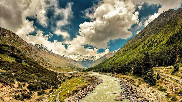
The Hindustan-Tibet Road, also known to us as the National Highway 22, leads to Kinnaur and presents an idyllic picture of life above 12,000 feet. This one conjures up images of a rich past, a valley flanked by the Trans Himalayas and The Kinner Kailash range, a road along the river Sutlej, flowing in from Mansarovar Lake in Tibet in gusto through the narrow gorge. The people are as rugged as the land, and Buddhism prevails alongside Hinduism, a place dotted with Monasteries and Temples.
Historic background of Old Hindustan Tibet Road
The British Governor General of India, Lord Dalhousie (1848-1856) ordered to commission the work of constructing Hindustan Tibet Road in June 1850. Lord Dalhousie wanted to create trade ties with Tibet and this is felt to be the real reason for initiating the road other than his monitoring access to far off regions under British control. Then Commander-in-chief Sir Charles Napier has designed the map of road and immense machinery at the disposal of the East India Company was pressed into service and halfway down the nineteenth century, work on what was then styled as the Great Hindustan Tibet Road began. Beyond Shimla, to the Shipki La pass on the border, the route included a length of 228 miles through Shipki-la till Shipki village in Tibet. ‘Shipki La’ – The pass which the protagonists in ‘Seven years in Tibet’ crossed to get into India.
While the Dalhousie road brought the route into focus, the area had long been on one of the peripheral trade circuits of the legendary Silk Route. The path that passed the tract carried goods like musk, borax, wool, livestock, dry fruits, precious and semiprecious stones to and from Tibet, Kashmir, Ladakh and Yarkand. It was basically a mule track constructed and maintained by British. Local traders used to do border trade through other passes also which were Lukma-La (Gongma-La), Yamrang-la, Gumarang-la, Shimdang la, Raniso-la, Keobarang etc. People of Baspa and near-by area used to go to Tibet through Yamrang-la and Chor-Gad valley.

The Route of the Hindustan Tibet Road
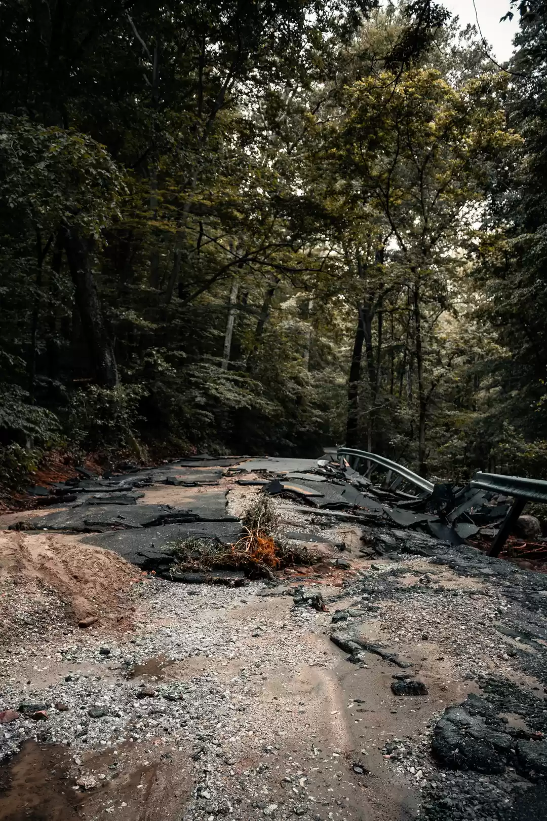
This road has been featured in the History Channel as one of the most “Deadliest Road” in the world. Built in 19th century, the Hindustan-Tibet road, also known as the Silk route or the National Highway No. 22, begins from Ambala in Haryana, as an offshoot of NH.1.
It runs 40 Km through Punjab and is known as Ambala Chandigarh Expressway. From Chandigarh, it runs north towards Zirakpur and meets NH.64. Thereafter it goes to Panchkula- Pinjore- Kalka and then enters Himachal Pradesh at Parwanoo.
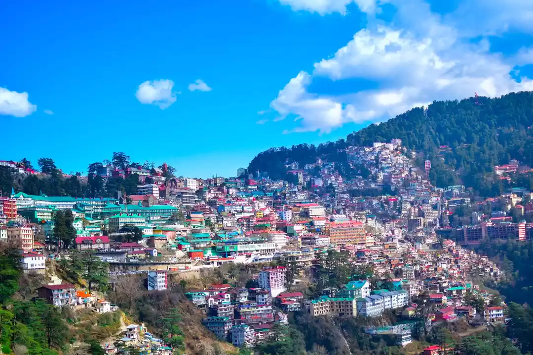
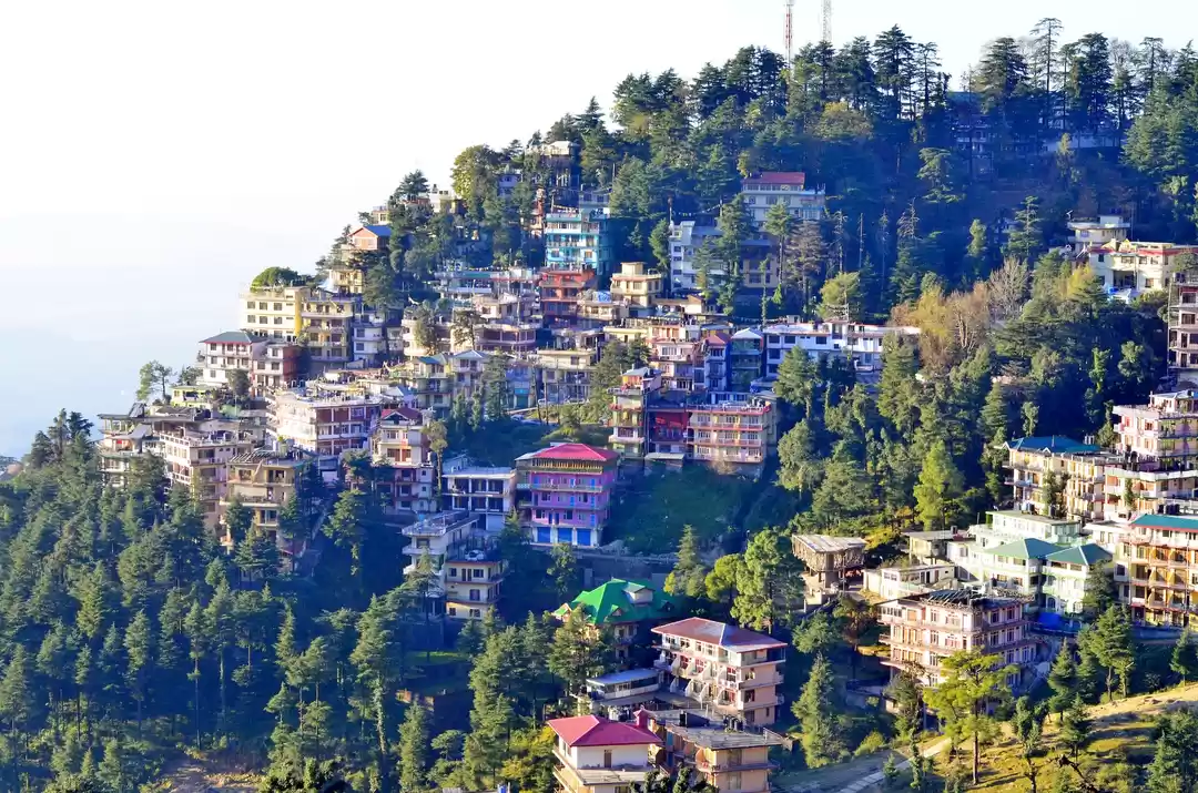
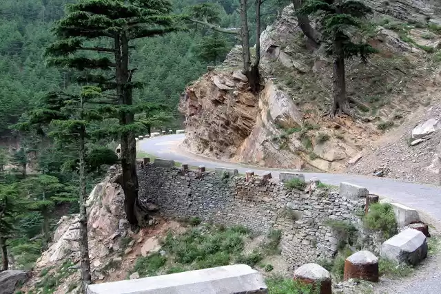
With the change in the terrain it becomes a mountainous road, full of hairpin bends and continues north-east up to Solan and then goes northwards to Shimla. It joins the NH 88, where it repeatedly criss-crosses and goes along the Kalka Shimla Rail track, which is an “UNESCO World Heritage Site”.
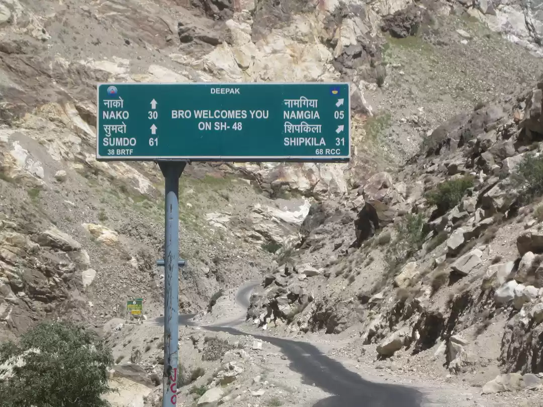
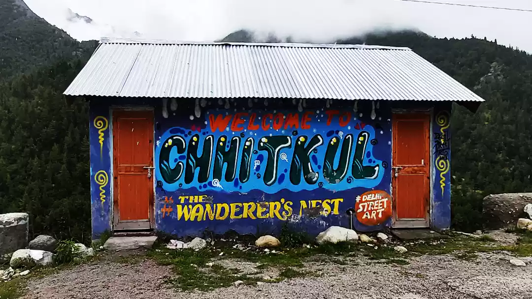
Then it heads north-east towards the Tibetan frontier from Shimla. About 569 km from Delhi, and 28 km from Sangla, the village Chitkul in Kinnaur district of Himachal Pradesh is the last inhabited village on this road on the Indo-Tibet border.
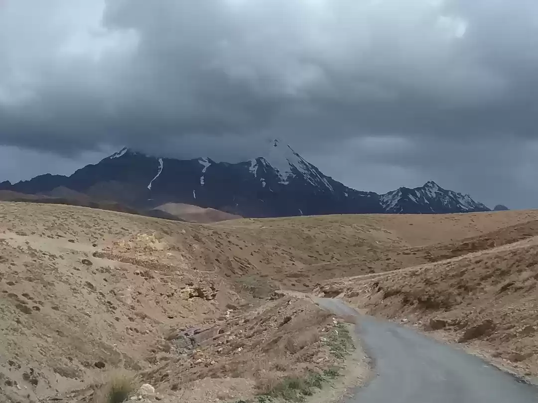
The road reaches the border town Khab and then runs for a short distance through Namgial up to the Shipkila pass, and ultimately enters Tibet. Here the Indian side of the road ends at the Line of Actual Control.
Actually the road does not lead to the actual border. It closes about 90 km before the border and then rest of the road is under the control of ITBP, the Indian Paramilitary force guarding the frontiers.

The Kinnaur District
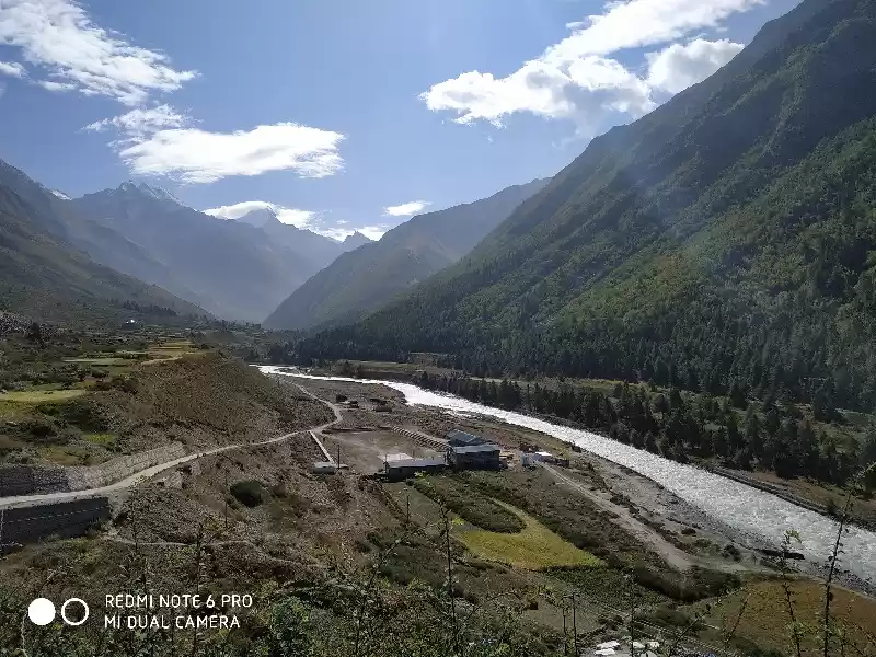
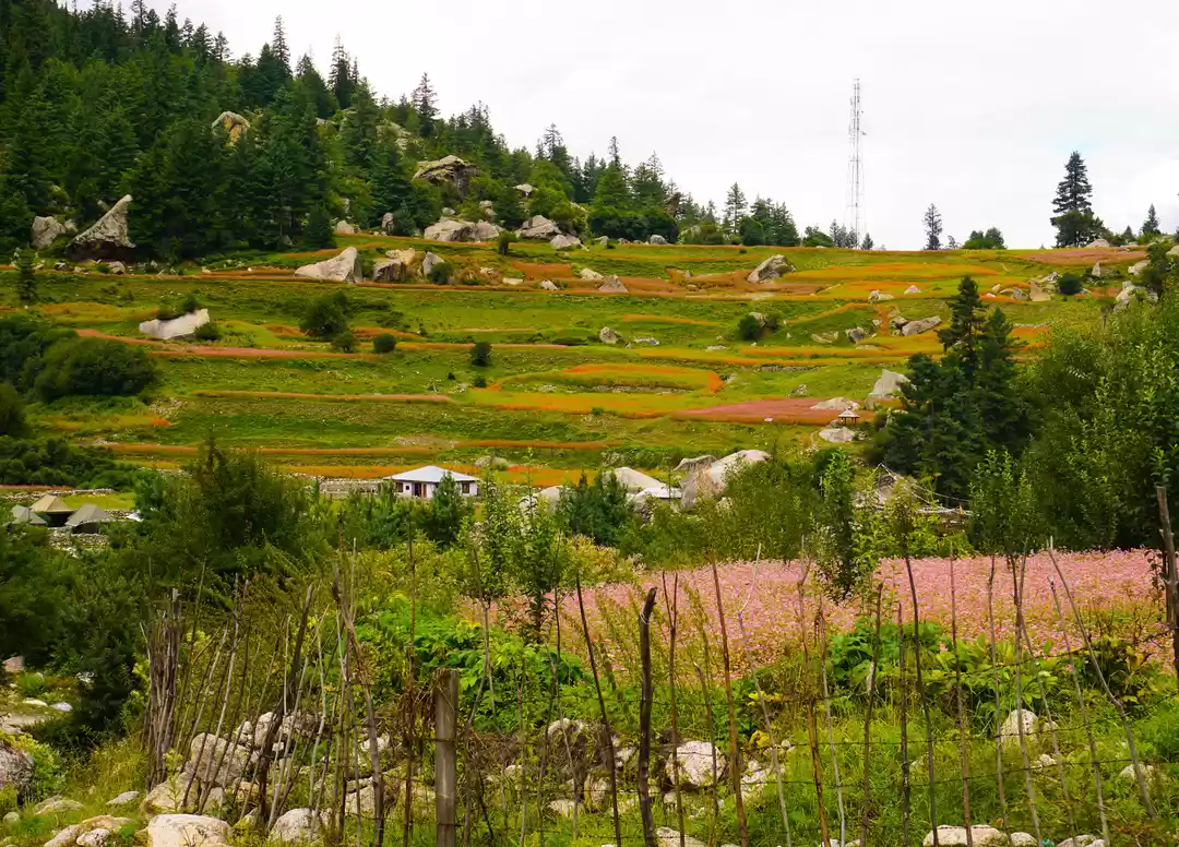
The major part of the Hindustan Tibet Road passes through Kinnaur valley. It goes along the bank of river Satluj and finally enters Tibet at Shipki La pass.
The headquarter of Kinnaur district is about 235 km from the state capital Shimla. It is surrounded by Tibet in the east and is the northeast corner of Himachal Pradesh, The valleys of the Satluj, Spiti and Baspa rivers along with their tributaries are enclosed in Kinnaur by three high mountains ranges in Kinnaur, namely, the Zanskar, the Himalayas and the Dhauladhar, The district was opened for the outside world in 1989.
Mythology rules
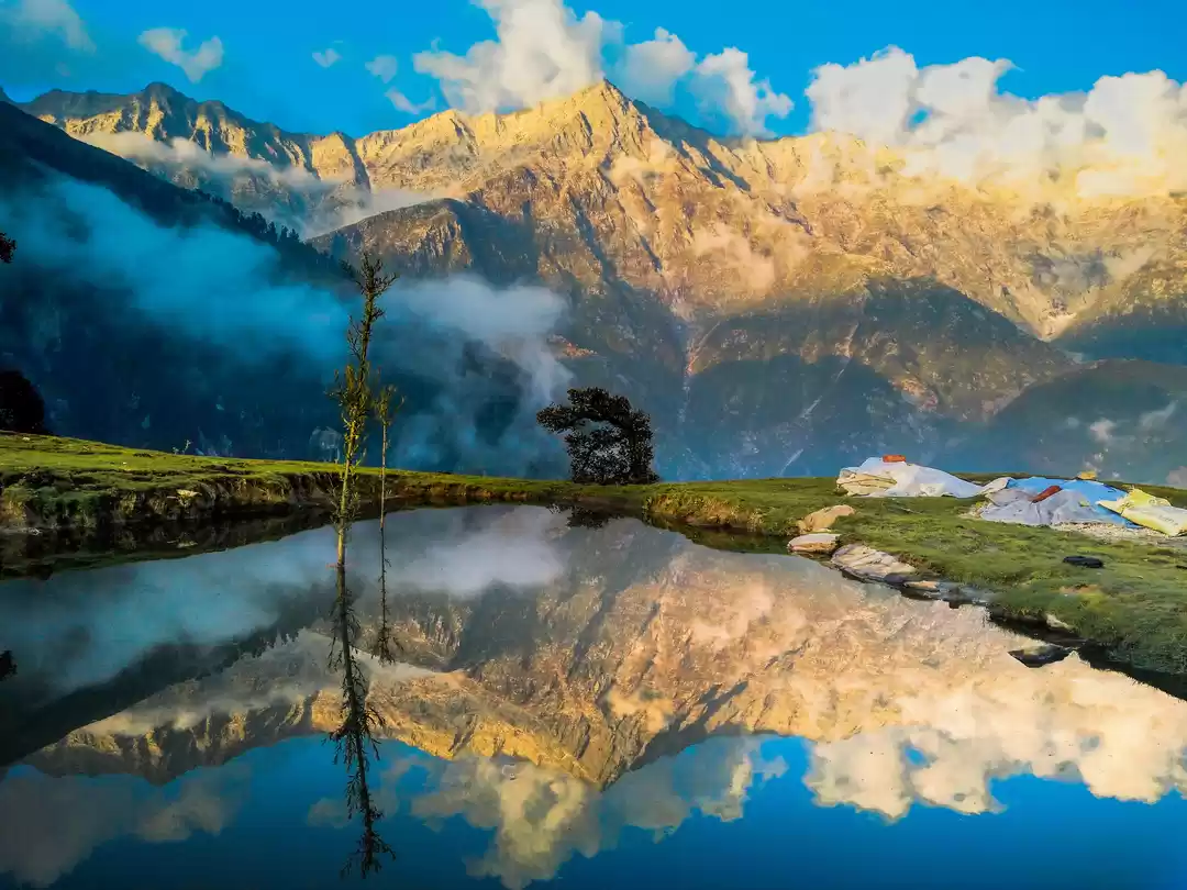
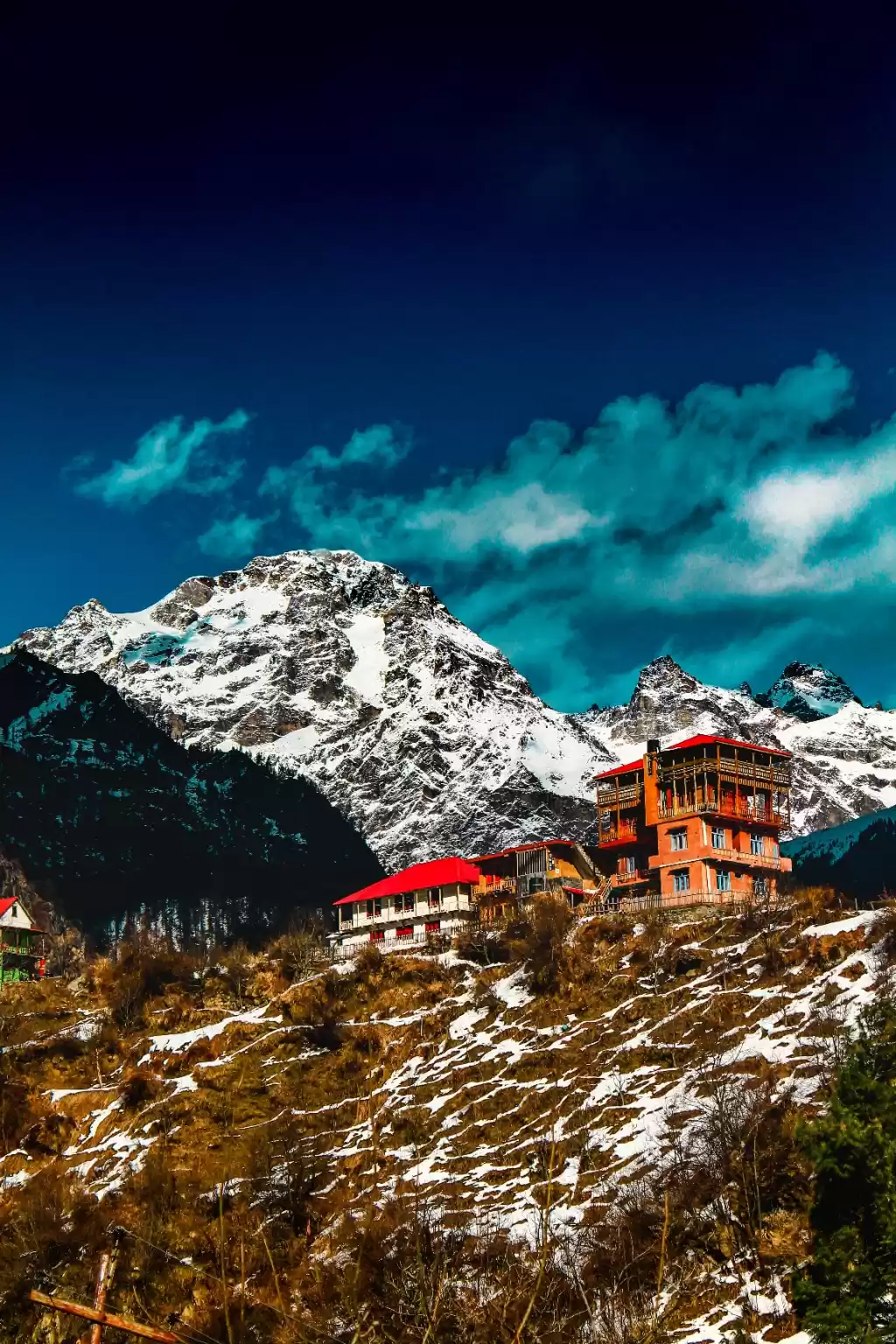
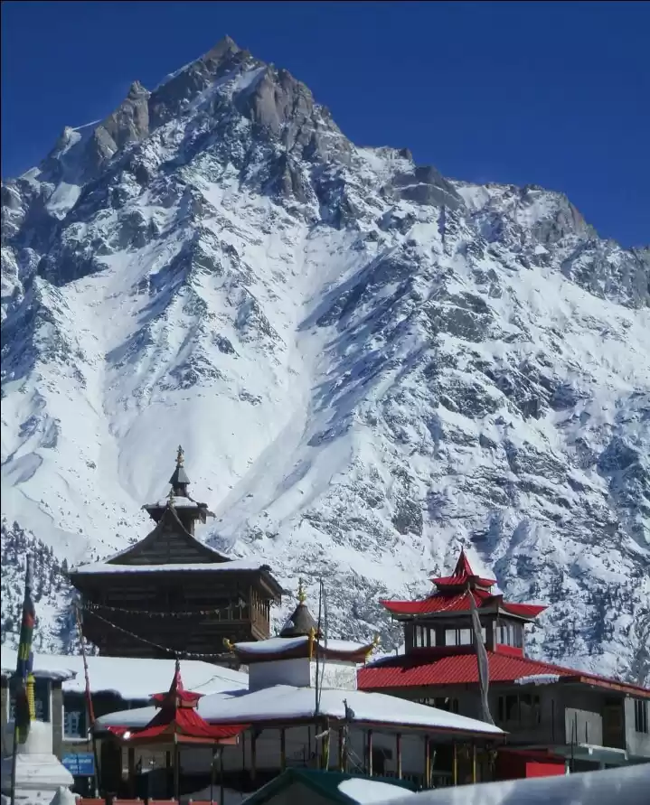
Kinnaur is a land seeped in mythology, nurtured and contained, no doubt, due to the inaccessibility of the region. Ancient Indian texts considered the mystical Kinners (people of Kinnaur) as supernatural beings, halfway between humans and gods. The Kinner Kailash range is purportedly the mythical winter abode of Lord Shiva. The Pandavas, too, chose Kinnaur to spend their last year of exile in. Visible from across Jangi, on the old Hindustan-Tibet Road, is a hamlet called Moorang, the name indicating a place where three water channels meet. Remarkable for the strikingly beautiful mountains surrounding the village, as much for a distinct mud structure crowning a rocky hilltop in the foreground. Silhouetted against the sky and the snowy peaks, it is an antediluvian structure of indeterminate architectural style and age. The Pandava Fort is supposed to have been built by them during their stay here; it presently houses Ormig Devta, the reigning deity of the village.
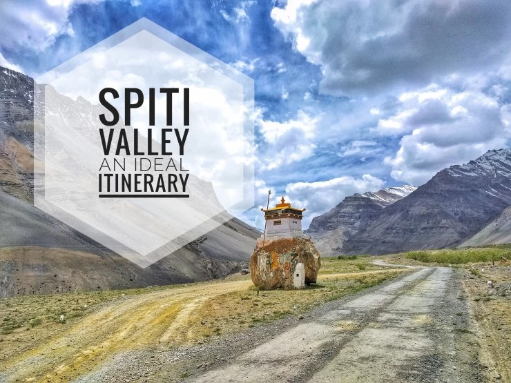
To explore this legendary route, in these days, we can start the journey and complete it in 6 days. The more adventurous can plan a complete motorcycle or a mountain biking tour starting from Kalka. For trekkers there is the option of Sarahan to Kalpa route, and even more. One can extend the trip and also visit The Spiti Valley (like Harrer did in seven years in Tibet), and cross over to Manali via the Kunzum La.


' fill='%23359391'%3e %3cpath d='M46.1538462%2c43.5714286 L41.5%2c50 L36.8461538%2c43.5714286 L36.8670256%2c43.5714286 C36.3173077%2c42.7142857 36%2c41.6851429 36%2c40.5714286 C36%2c37.4854286 38.4535641%2c35 41.5%2c35 C44.5464359%2c35 47%2c37.4854286 47%2c40.5714286 C47%2c41.6851429 46.6826923%2c42.7142857 46.1329744%2c43.5714286 L46.1538462%2c43.5714286 Z M41.4294872%2c39 C40.6150641%2c39 39.9487179%2c39.675 39.9487179%2c40.5 C39.9487179%2c41.325 40.6150641%2c42 41.4294872%2c42 C42.2439103%2c42 42.9102564%2c41.325 42.9102564%2c40.5 C42.9102564%2c39.675 42.2439103%2c39 41.4294872%2c39 L41.4294872%2c39 Z' id='Location-white'%3e%3c/path%3e %3c/g%3e %3c/svg%3e)