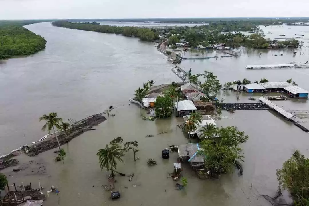
It seems the monsoons are not over yet. And not a welcome news for those in Andhra Pradesh, Odisha and West Bengal planning for a celebration bash this weekend.
As per the latest weather forecasts from the India Meteorological Department (IMD), a cyclonic storm accompanied by heavy rainfall is likely to hit the coastal regions of Odisha, Andhra Pradesh and some parts of the coastal districts of West Bengal on Saturday morning, 4th December. Warnings and alerts have been issued in all the coastal areas, expecting extremely heavy slash of rains.
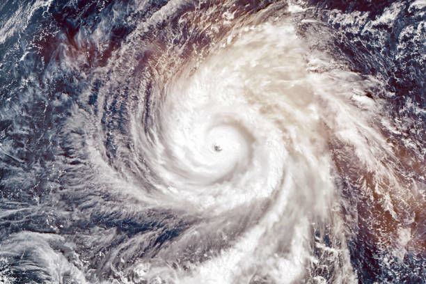
What are the latest predictions by the Met office?
IMD has categorised the rains as ‘heavy to very heavy rainfall and extremely heavy rainfall’ in the coasts of Odisha and ‘heavy to very heavy’ rain in the coastal regions of Andhra Pradesh and West Bengal.
As per the latest reports on 30th November, a low pressure has surmounted over south Thailand and its neighbourhood at 8.30 am. It has emerged into the Andaman Sea in the next 12 hours.
The IMD stated, "Thereafter, it is likely to move west-northwestwards and concentrate into a depression over southeast and adjoining east-central Bay of Bengal by December 2 and intensify into a cyclonic storm over the central parts of the Bay of Bengal during the subsequent 24 hours".
The agency also mentioned that, "It is likely that the northeastern states also experience enhanced rainfall activity on December 5-6, with isolated heavy to very heavy rainfall owing to the likely northeastward movement of the remnant of the system during the same period".
Preventive measures adopted for safety and precautions
Warnings have been issued from 3rd December till 5th December in the coastal regions. Fishermen have been asked not to venture into the sea after Thursday, 2nd December. Though a clear picture is still awaiting on rainfall activity, wind speed and landfall, yet precautions are already underway to prevent any kind of disasters. The moment Lopar (low pressure area) turns into a depression, the forecasts will be much better to adopt further steps.

However, after studying the movements of the storm, Mrutyunjay Mohapatra, the DG of IMD, stated, "Though it will be near the Odisha and north Andhra Pradesh coast on December 4 morning, it will not make landfall immediately. The system will gradually move in north-north east direction."
The velocity of the wind will remain between 4o to 50 km per hour along the coastal regions of Odisha on Friday. The intensity will further increase during the cyclonic storm and the velocity may rise up to 60 to 90 km per hour.
Storm to be named as "Jawad"
The year 2021 have experienced severe cyclonic storms, with the Yaas in May and Gulab in September specifically hitting the eastern coasts of India. This time, the storm will be named as "Jawad". The word means generous and has been named by Saudi Arabia.
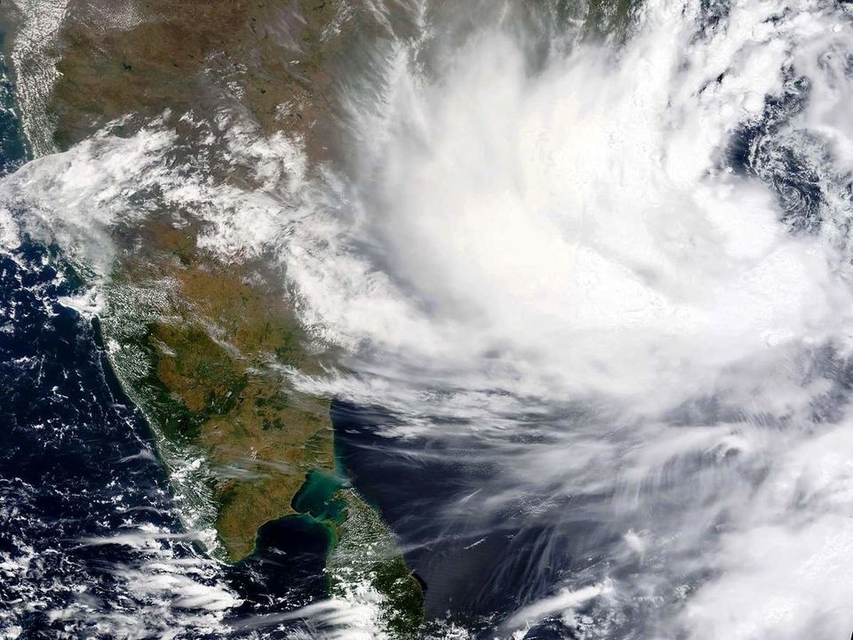
As per the Met officials, October to November are considered as the post-monsoon periods and are prone to cyclonic storms. The reason being the surface temperature of the sea is on the higher side. The heat and moisture is pulled in further to intensify the strength of the weather system on the sea.
The Met office in Alipore, West Bengal, has stated that the coastal districts of Bengal — Purba Medinipur, South and North 24-Parganas and Howrah are also predicted to severely affected by the gusty winds and showers.
Well for now, it seems people residing in the three states have to postpone their weekend planning. And it's better to stay safe than being stuck in the midst of a storm or heavy rainfall. So stay safe and remain indoors.
Ready to travel for free? Earn credits and redeem them on Tripoto’s weekend getaways, hotel stays and vacation packages!
Be a part of the largest online community of travellers on Tripoto’s Facebook page!


