It was already 6 months i'm away and i felt like it's time to re visit my Mistress Himalaya. The moment i felt like "mountains are calling" i started turning pages on internet and my search ended when I've found "Pin Bhaba Pass Trek"
Pin Bhaba trek is roughly a 50km trek which gains serious high altitudes of 16,105 ft on the pass day. The uniqueness of the trek lies in the shifting geographic conditions everyday.
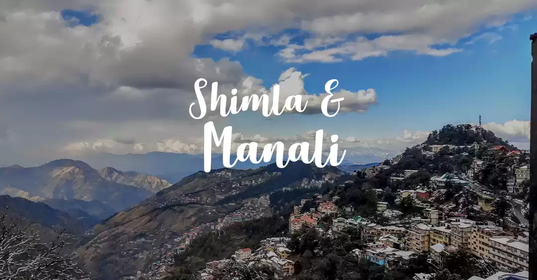
As i stay in the Hyderabad,i have reached Delhi on 27th of July and reached Shimla via Chandigarh on 28th of July.
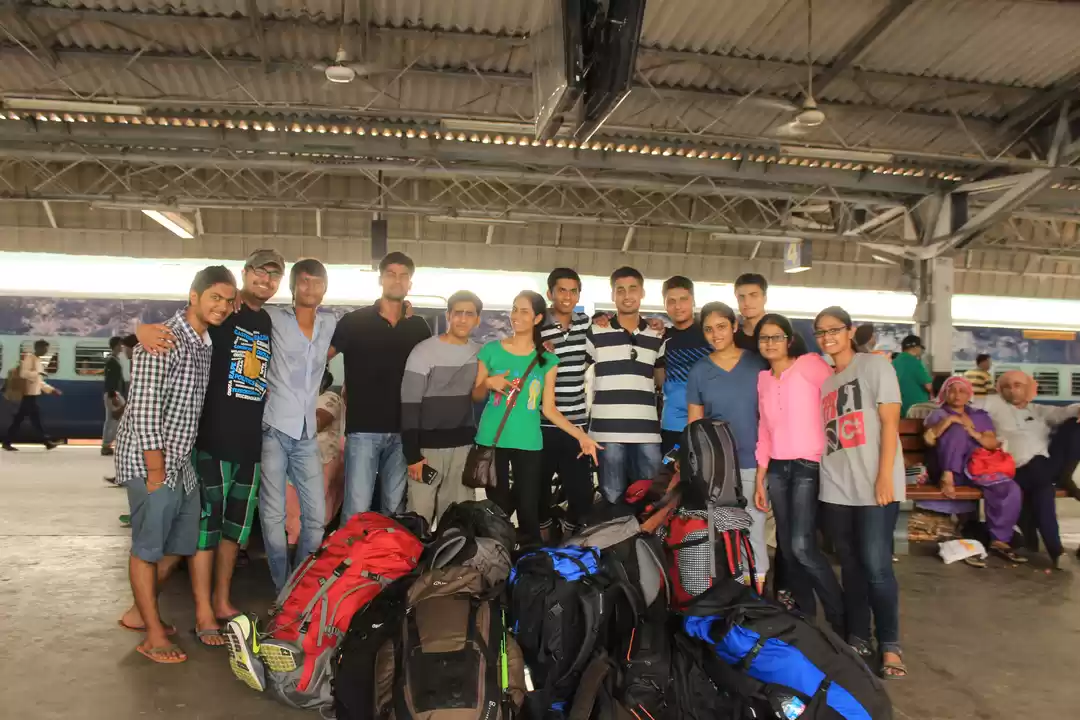
Day 1 : On 29th of july early in the morning, I have started to the Kafnu which is our starting point of trek. Kafnu is a small Himalayan village situated at a height of 7,878 ft.It takes around 7 hours from shimla to reach Kafnu. In Kafnu,met with other trekkers who are part of our team.
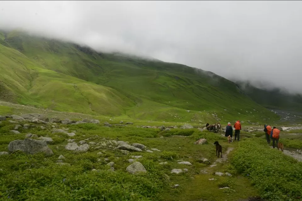
Day 2: Trek starts from the second day. It is around 12kms of trek with an altitude gain of 3000ft to reach the camp site muling.
Trek starts on a road and right after crossing the Kafnu Dam,it takes a turn and we start hiking in between the garden of apples. Even though they were protected by the boundaries it was a great experience for me to look at the bunches of apples.
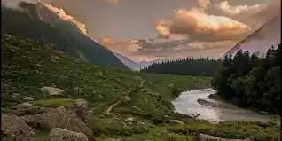
Slowly after few kilometers, we enter into the Rhododendron Forest with Alpine,Oak and Birch trees all around us and the trail is mesmerizing. The River in the middle of the forest adds the rhythm and beauty to the whole trail.
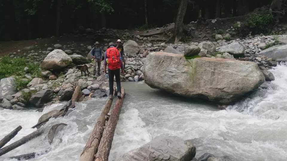
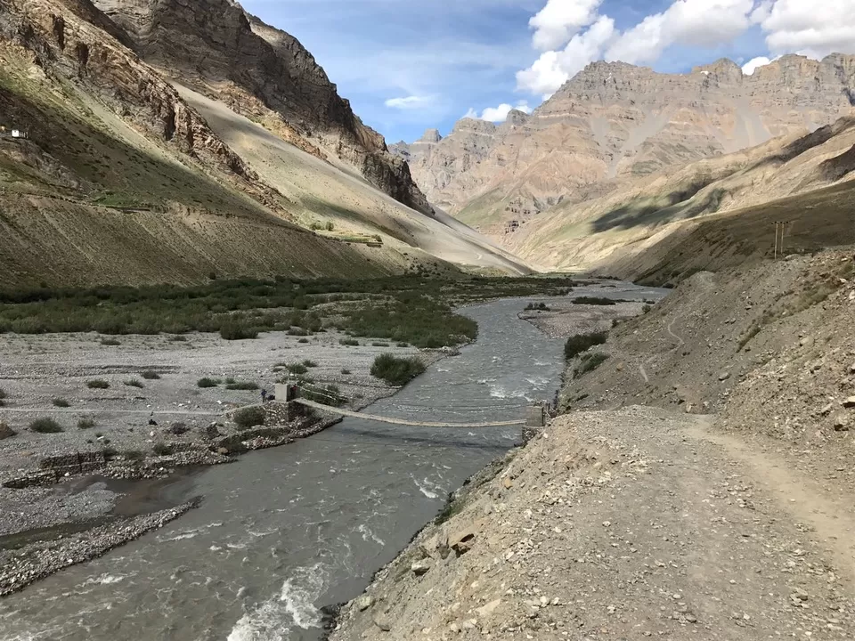
Through out the first day. there is a need to cross the river streams either by bare foot or occasionally we could find a wooden plank or a log over the stream to cross the river.


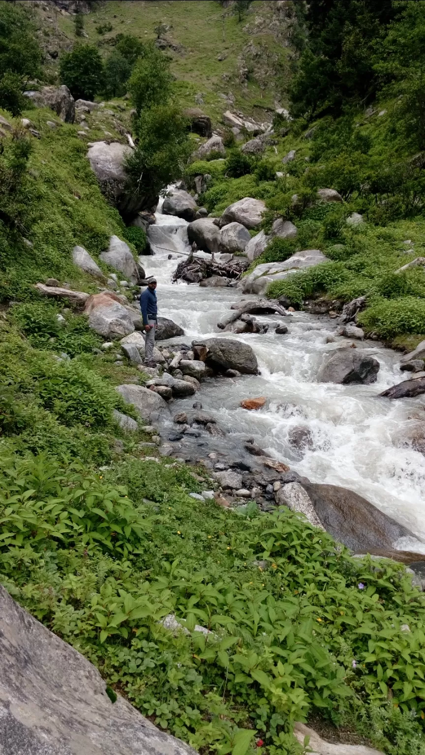
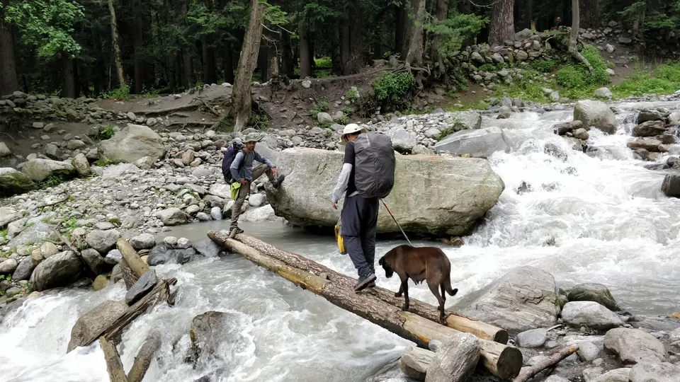
we have had our lunch packed from Kafnu near the Waterfall and drank water from it. The water tastes heavenly on the mountains.
It took 8 hours to reach the camp site mulling. The whole trail of the day left me captivated and the sound of the river flow took away all the disturbances from my mind. Mind, Body and Soul started enjoying the trek.
Day 2 has come to end with a hot dinner in the rain at the camp site.
Day 3 : It wasn't raining but cloudy. We started from Mulling around 7:30 after having a hot tea and breakfast. It was a rocky terrain with gradual ascent. It wasn't much problem earlier but at the end of the day the ascent was steep.
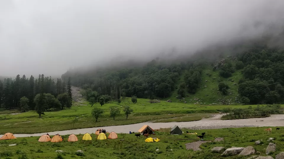
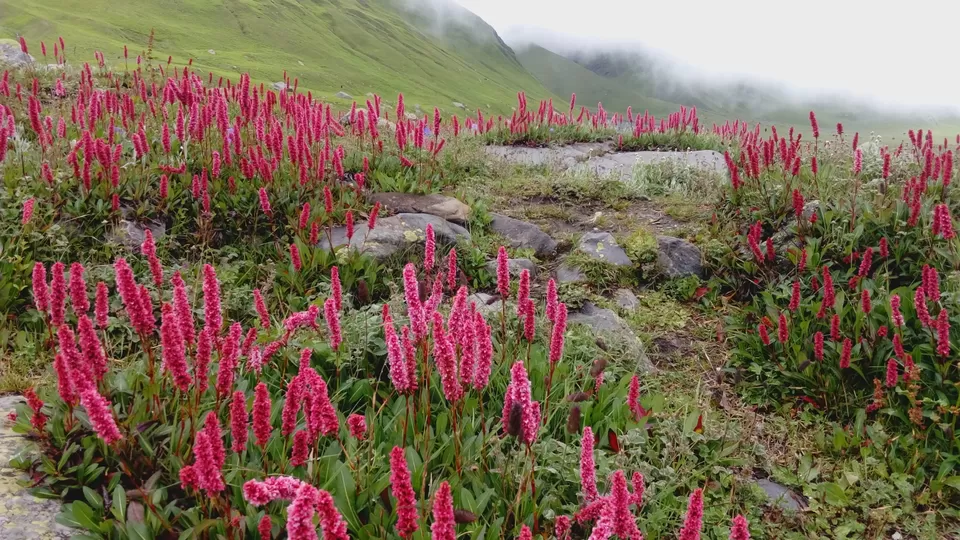
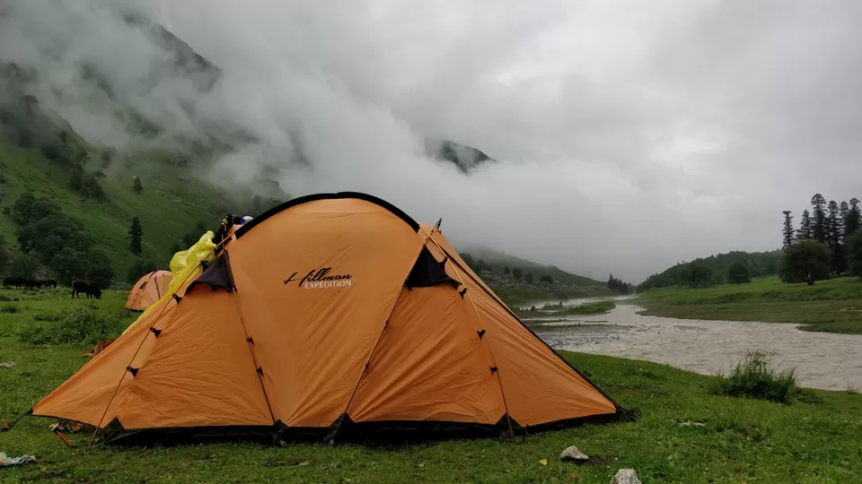
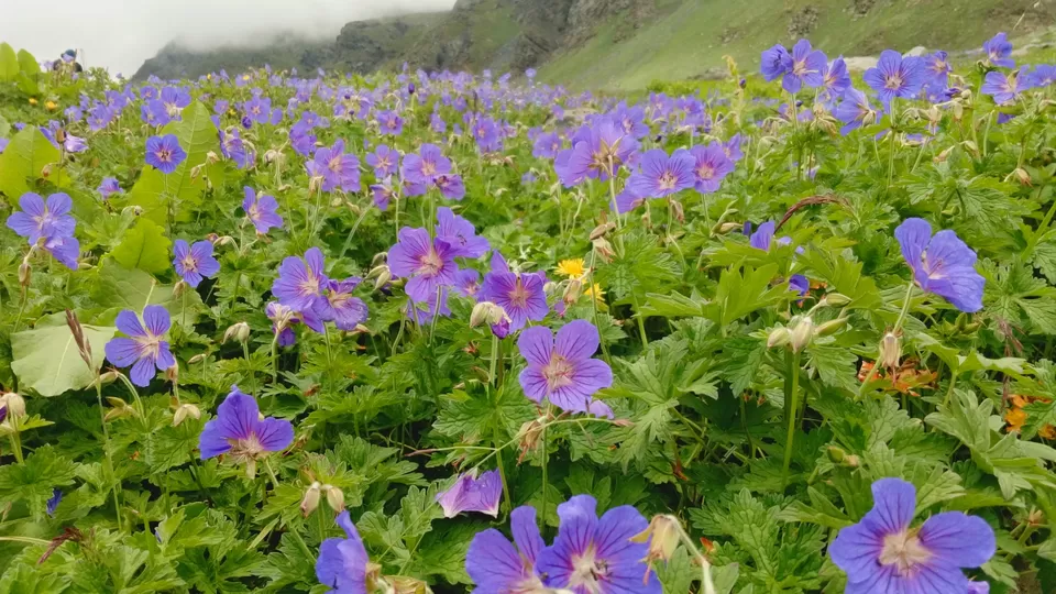
Before reaching Karah, we will find a beautiful meadow with thousands of red and blue flowers. It was an heavenly feeling when I first saw that meadow. It was cloudy and we have moved towards the camp for the day. Karah is definitely a pretty beautiful camp site of the trek. Imagine Green Meadows, a river slowly flowing and little flowers all over the place. One of my fellow trekker compared it to Kashmir.
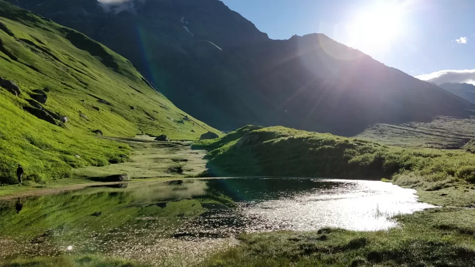
Rest of the group was chatting in the kitchen tent, me and two of fellow Trekkers started walking around the campsite even though it is drizzling. After climbing a small near by hill, we found a small pond. It gave us a kind of high when we found the pond. But it started raining. So, we moved towards the campsite.
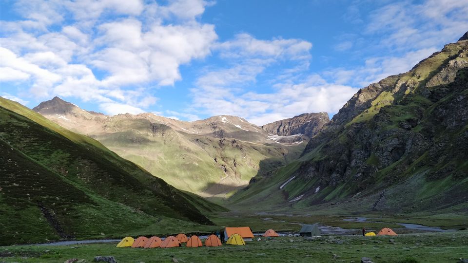
We have started our trek from Karah to Phustirang. It is the shortest distance which is 5kms from Karah but through out the trek, there will be steep ascent and will take 4-5hours to reach Phustirang camp. We have crossed multiple number of ice cold streams through out the day.
Phustirang will be the home away from home for 2 days. We will be acclimatising next day for the summit push.
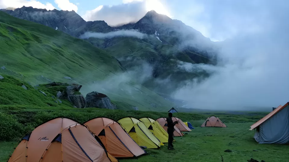
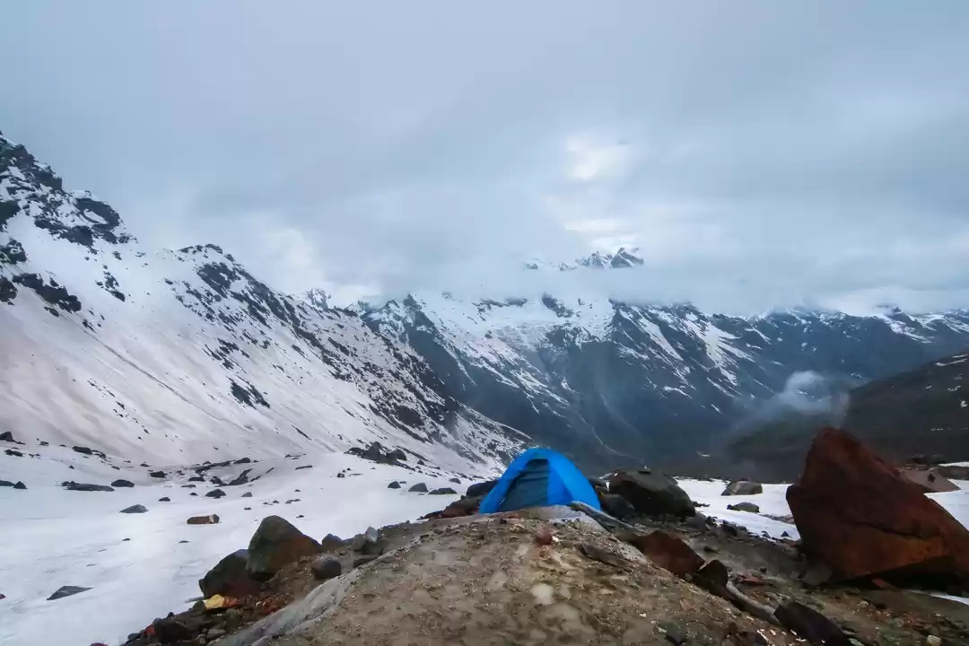
It was a cloudy day. I was sensing there will be a rain today and our trek leader decided to trek upto the near hill crossing a stream and return to the camp. Everyone of us started with a day pack.
It started raining heavily the moment we reached the trek point and there was no time to wear a poncho or rain jacket. Everyone of us are wet and shivering with the cold. By the time we have reached the campsite, my shoes were totally wet and water seeped into the shoe making it ice cold. We tried to dry our clothes and shoes placing them in the kitchen tent. It actually made them ice cold.
We had an early dinner and moved into our tents to have an early sleep as the summit push starts at 2:30 am. I wasn't able to get a good sleep until 10'O clock.
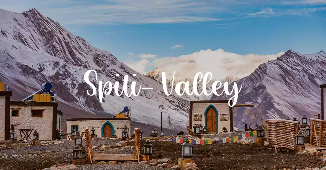
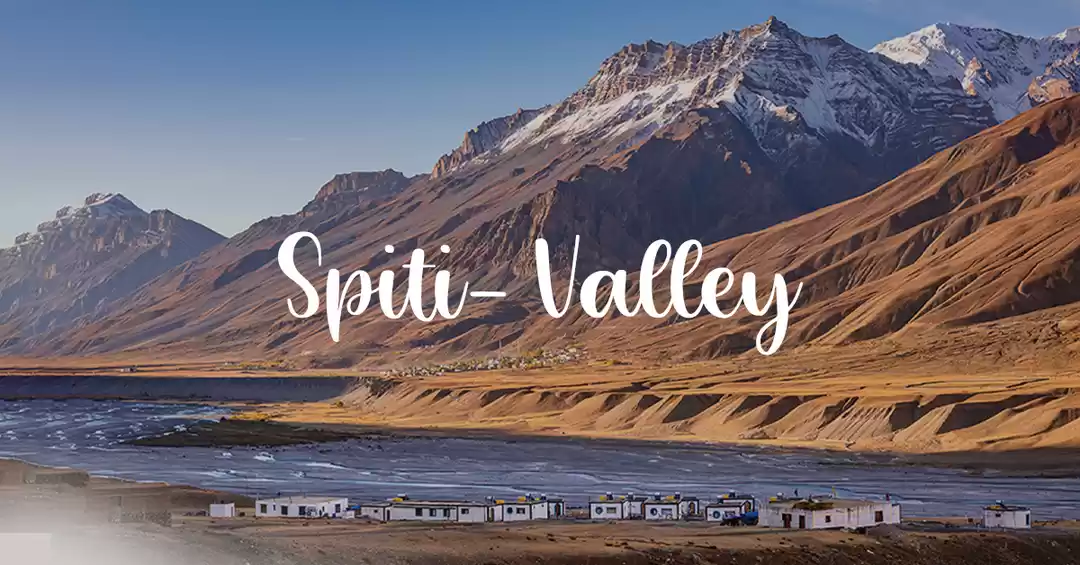
This is the day everyone of us are waiting for. The D day, where we will be crossing the most awaited bhabha pass and reach spiti valley.
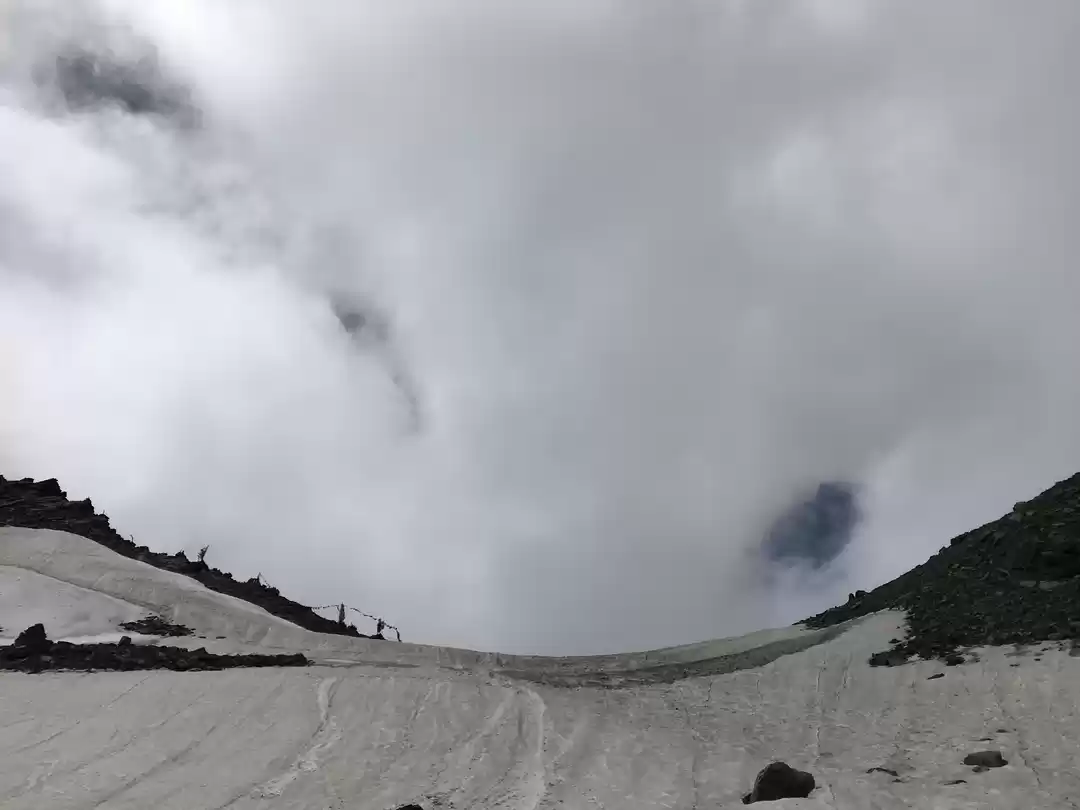
We were served some breakfast at 2:00 am. But, I wasn't able to eat anything. I was eagerly waiting for the pass. The uphill to the pass was right in front of us for the two days . It is almost 3Kms of steep ascent to reach the pass. We started trekking towards the bhabha pass cross over and by the half distance, my lower part of the right lung started aching. It took us good amount of time to reach the bhabha pass.
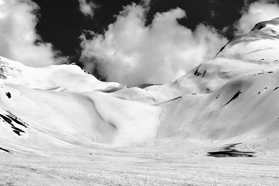
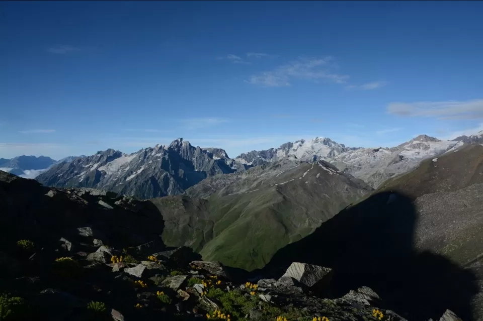
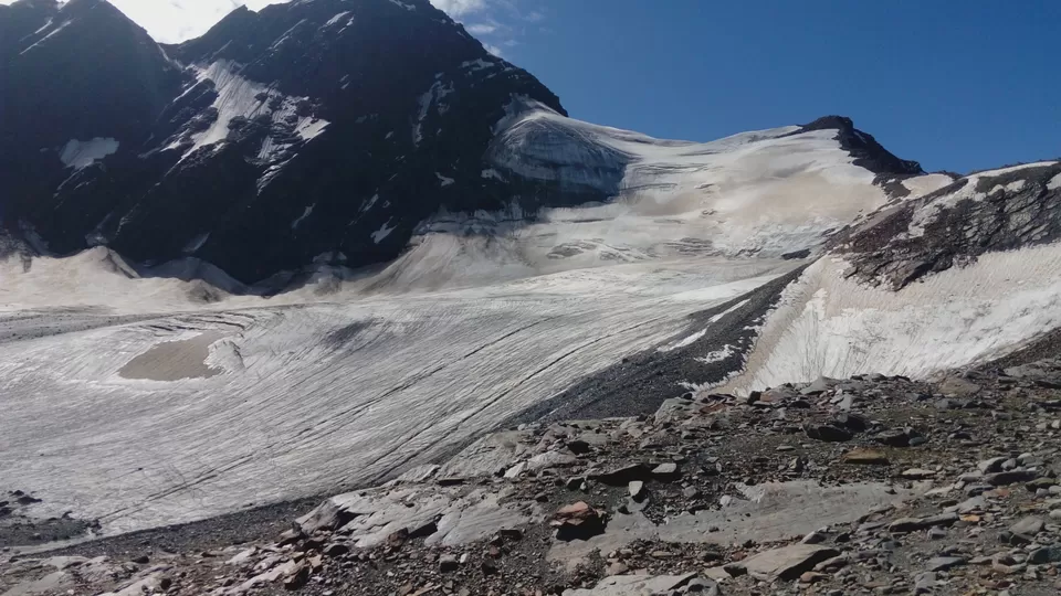
The moment everyone of us reached the pass, it was an heavenly feeling. The sense of adventure and accomplishment made me forget about all the hardship took to reach the point. At an altitude of 4,909 meters we were able to watch a panoramic view of all the mountains around us. The lush green landscape has turned into snow white and there was no vegetation around.
My adrenaline was pumping and to add the excitement, we started rappelling down the steep ascent for few hundred meters from the saddle point.
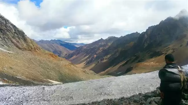
The things take a great dramatic turn in the terms of landscape from the saddle point.
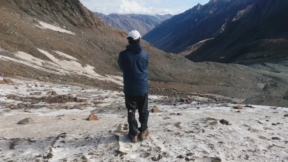
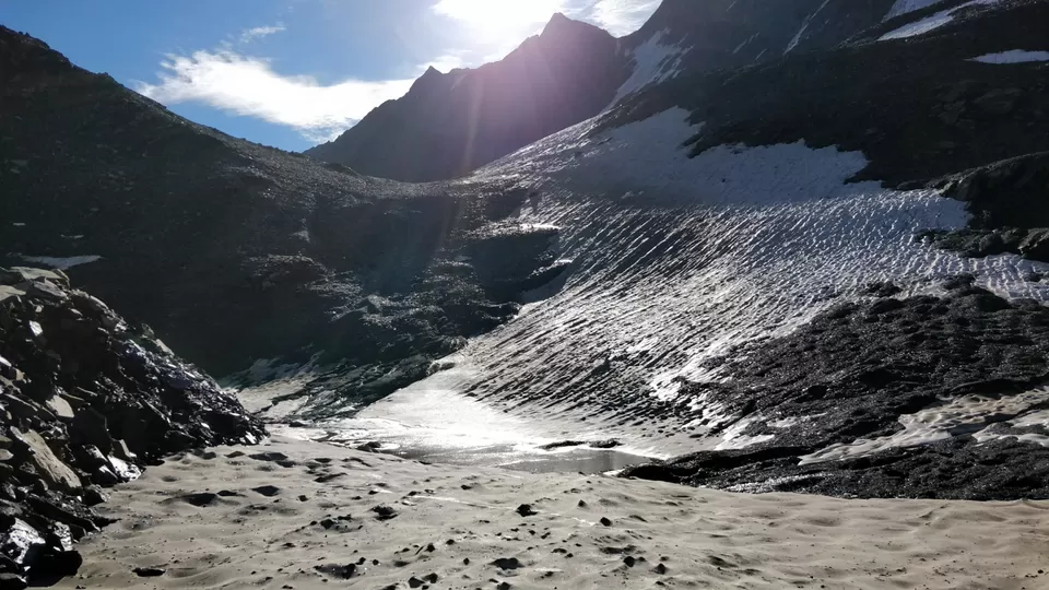
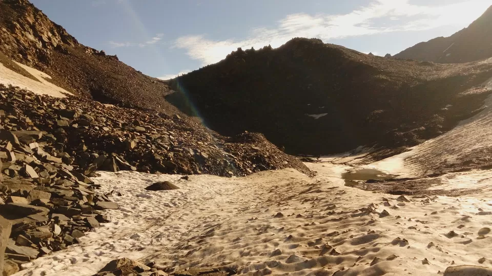
The steep descent consists of slippery mud,glacier,scree and moraine. It's quiet difficult while descending with scree and moraine.
After a 3 kms of descent, there comes a river crossing which took around 60 secs to cross the stream in the chilly water. I have crossed the stream bare foot and I couldn't feel my feet for 15 good minutes. They were totally numb.
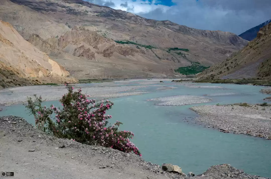
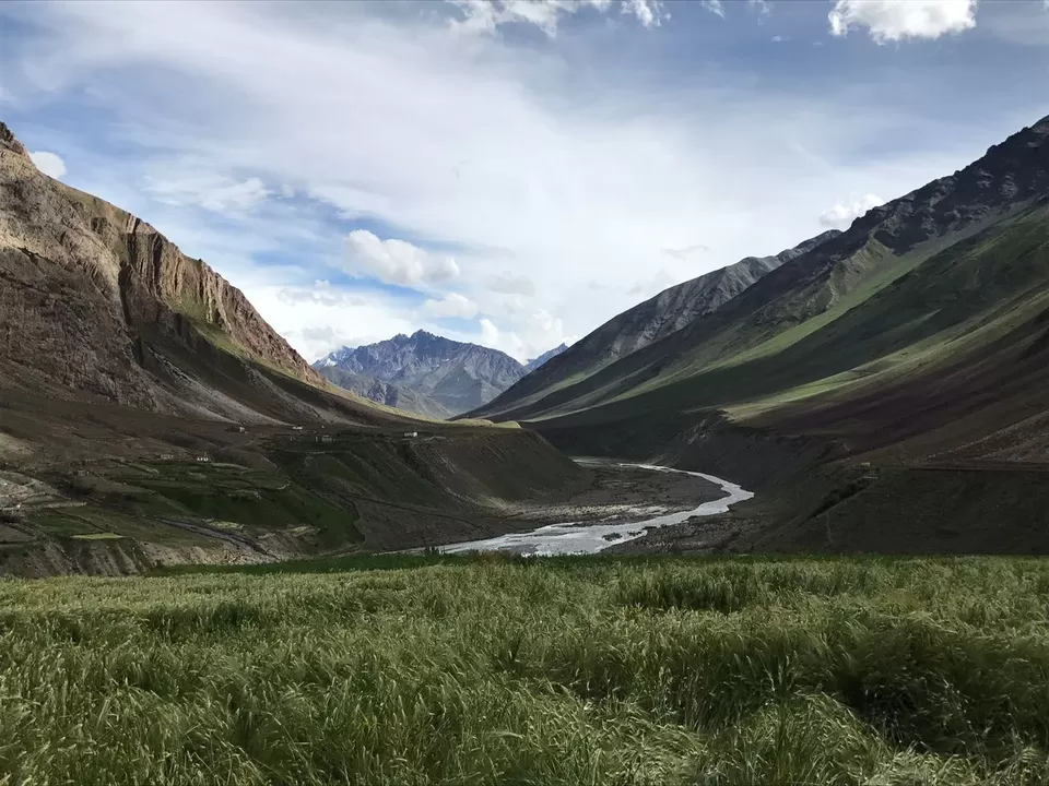
By now we are in the spiti valley. We ate our lunch here and took a little rest until everyone can feel their feet.
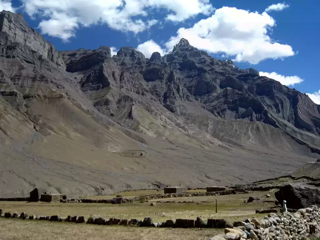
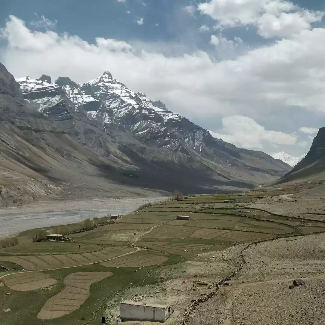
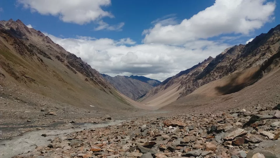
Rain shadowed spiti has totally different landscape apart from the earlier locations. It's brown everywhere. After this point it's a gradual descent with moraine and scree.
We have reached Mangrungse campsite after a 5kms trek. Tasty chowmein was served and I was already hungry. 4 of us ate in the same lunch box carried and I slept for 30mins straight out of tent until one of my tent mate woke me up.
This is the last and longest day of the trek. We started early from the campsite to reach mudh by evening. Even though Moraine troubled, it was almost gradual descent or flat walk.
From Mangrungse, at a distance of 4 kms a tributary of pin river floored after Bara Boulder. There is a wooden log bridge on it to cross the stream. Maybe after a 3-4 kms after Bara Boulder, we can see village mudh and it is the sign of civilization. It inspired us to move forward. I actually felt little depressed,that I will be back to my civilized life with all the routine action with in days of time.
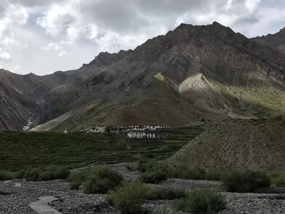
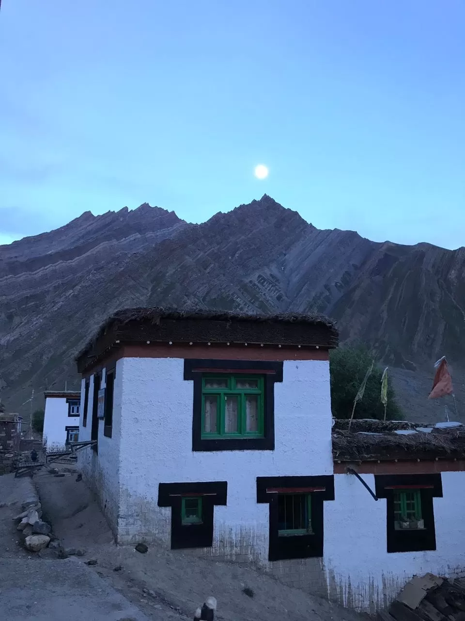
A suspension bridge above the Pin river connects us to the Mudh. Mudh is a beautiful village with mountains around and the sound of the pin river is omnipresent.
A short climb of stairs led us to the homestay in Mudh and our trek has come to an end.
I was already feeling to get back to the mountains.

' fill='%23359391'%3e %3cpath d='M46.1538462%2c43.5714286 L41.5%2c50 L36.8461538%2c43.5714286 L36.8670256%2c43.5714286 C36.3173077%2c42.7142857 36%2c41.6851429 36%2c40.5714286 C36%2c37.4854286 38.4535641%2c35 41.5%2c35 C44.5464359%2c35 47%2c37.4854286 47%2c40.5714286 C47%2c41.6851429 46.6826923%2c42.7142857 46.1329744%2c43.5714286 L46.1538462%2c43.5714286 Z M41.4294872%2c39 C40.6150641%2c39 39.9487179%2c39.675 39.9487179%2c40.5 C39.9487179%2c41.325 40.6150641%2c42 41.4294872%2c42 C42.2439103%2c42 42.9102564%2c41.325 42.9102564%2c40.5 C42.9102564%2c39.675 42.2439103%2c39 41.4294872%2c39 L41.4294872%2c39 Z' id='Location-white'%3e%3c/path%3e %3c/g%3e %3c/svg%3e)