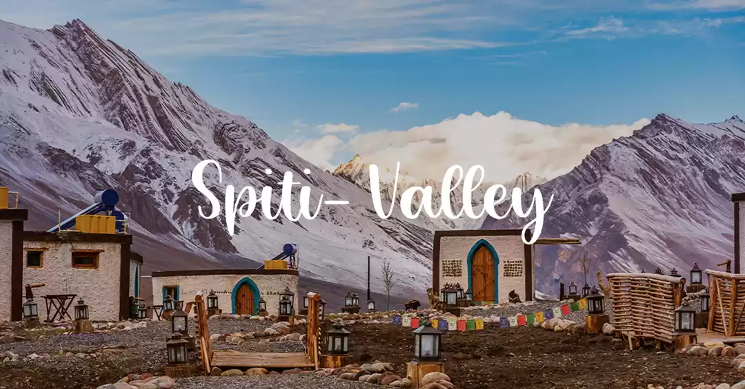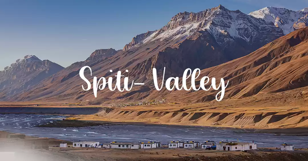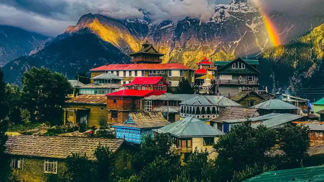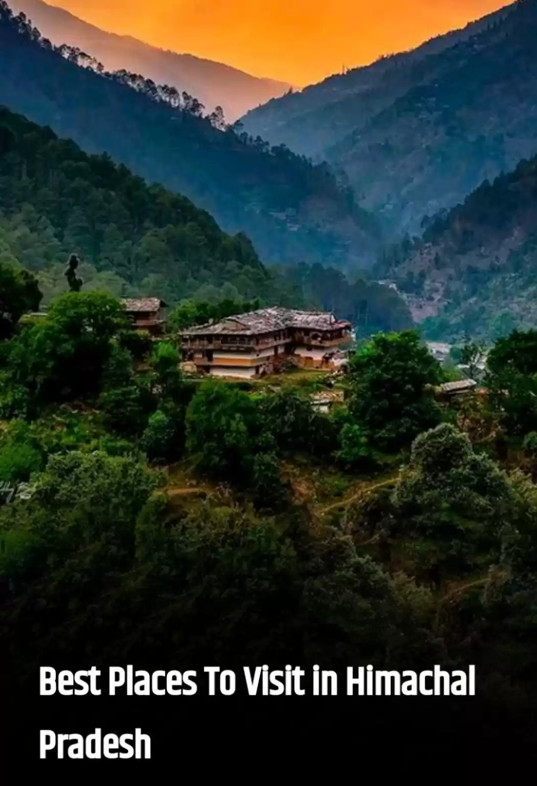
Most travellers who are on an expedition to Spiti Valley enter Spiti from Shimla-Kinnaur side and after exploring the Spiti headquarter at Kaza and neighbouring villages exit Spiti valley from Kaza Manali highway. Let me tell you this road from Kaza to Manali is no joke. If you're travelling via taxi, then it may not be a lot of concern.
Must Read: manali snowfall time
But if you are self driving it is better to be acquainted with the road condition beforehand. Even the seasoned drivers may heave a deep sigh here. Kaza Manali road is around 188 km and it'll take at least 9 hours to complete the journey ( on favorable days). It is definitely one of the most adventurous and the most dangerous roads in the world. But despite all risks, it is also the most beautiful road you'll witness in a lifetime.
***
Before taking you to the journey I want you to understand the following tips from locals:
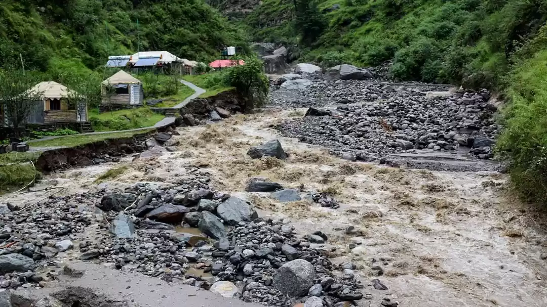
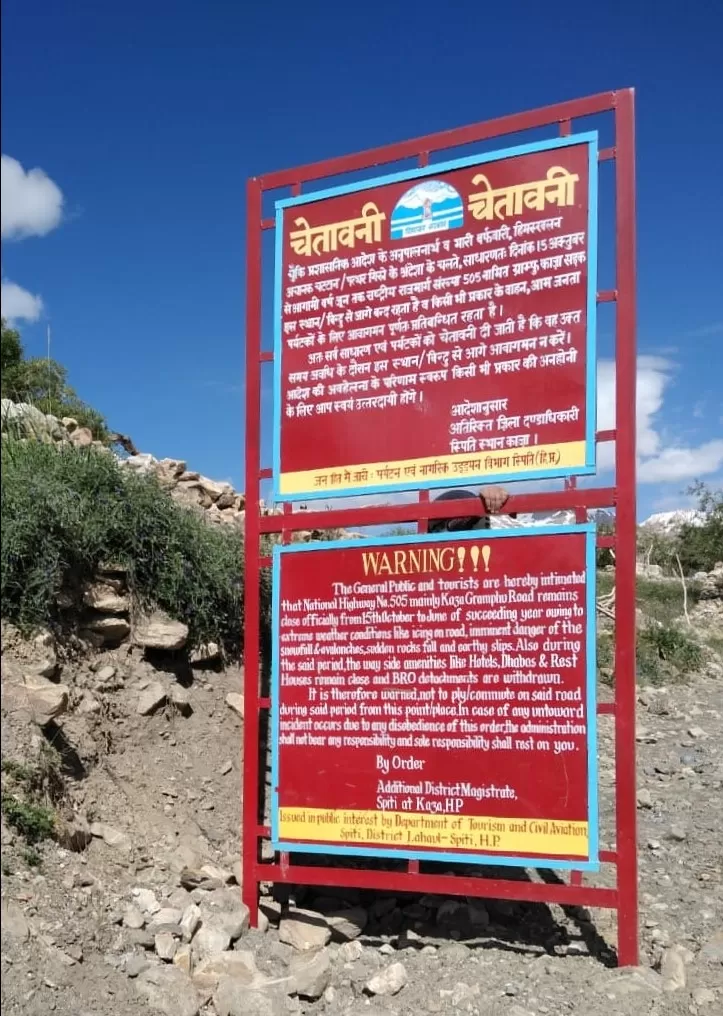
#Kaza Manali highway remains closed almost eight months of the year from October till late May or June beginning because of extreme weather conditions like heavy snowfall, avalanches, glaciers melting, land slides etc.
***
#Don't trust Google maps. It will show you 4.5 hour journey in total but there is no way you can cover this journey in less than 9 hours.
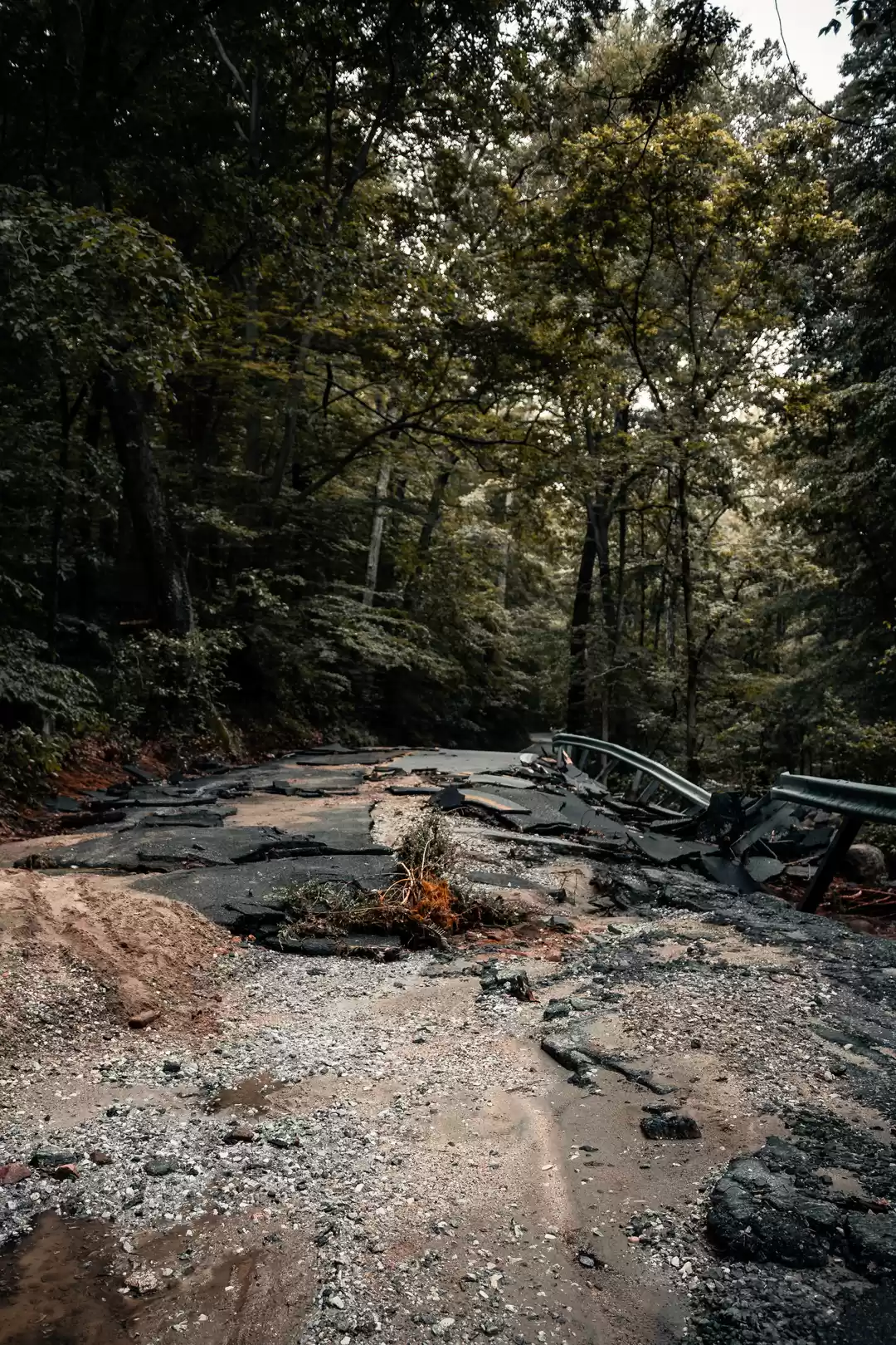
# Though the road from Kaza to Manali is a national highway, you'll often wonder where the hell road is. It is mostly through 'no road' you'll be driving.
***
#If you are travelling from kaza to manali, start by latest 6 o'clock in the morning. Reason being the glaciers will be melting after the onset of day as the temperature increases. After 12.00 in the noon, the water levels on the roads due to melting glaciers will increase significantly. So if you start late, instead of crossing small streams you may have to encounter gushing rivulets which will increase your chances of getting stuck on the way.
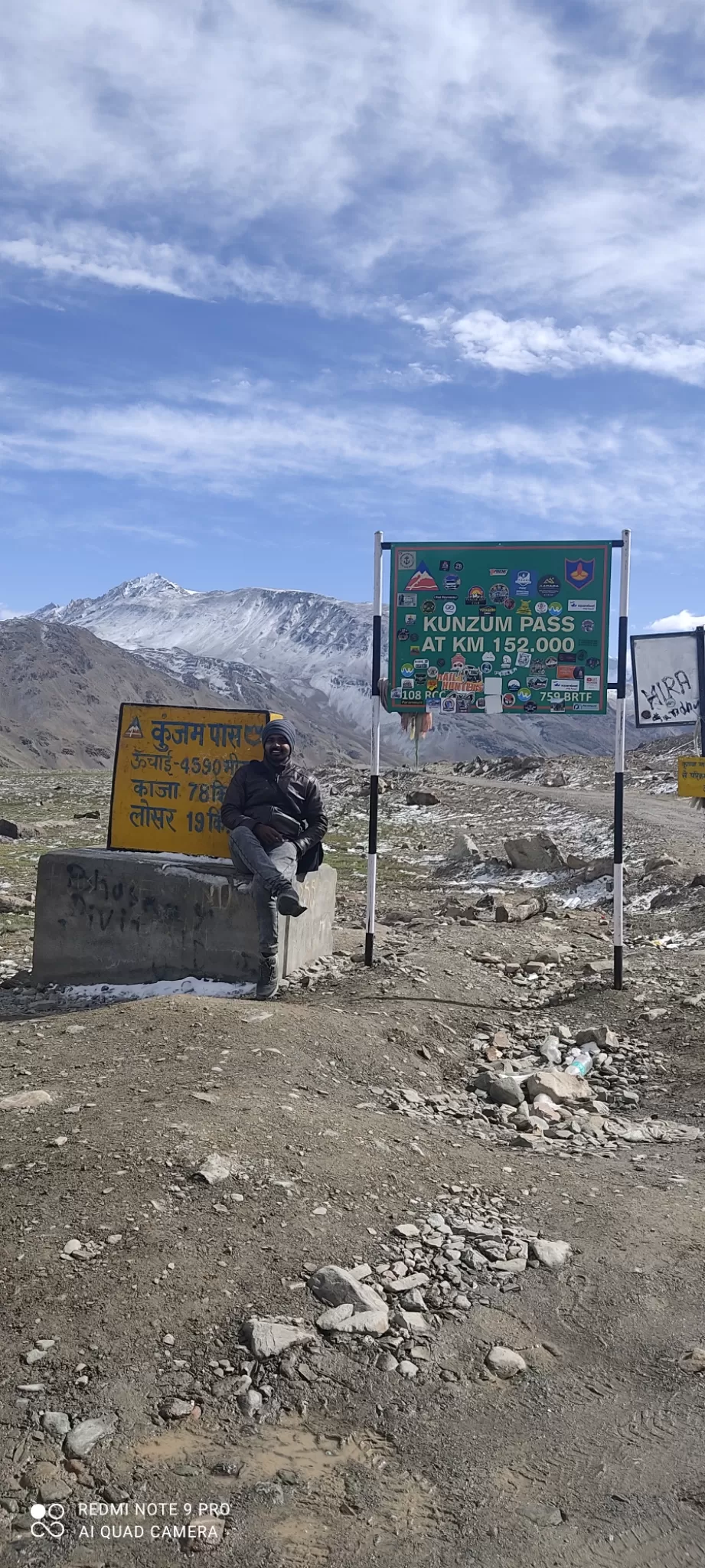
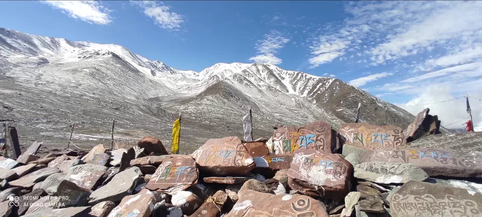
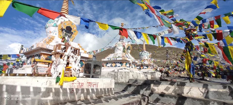
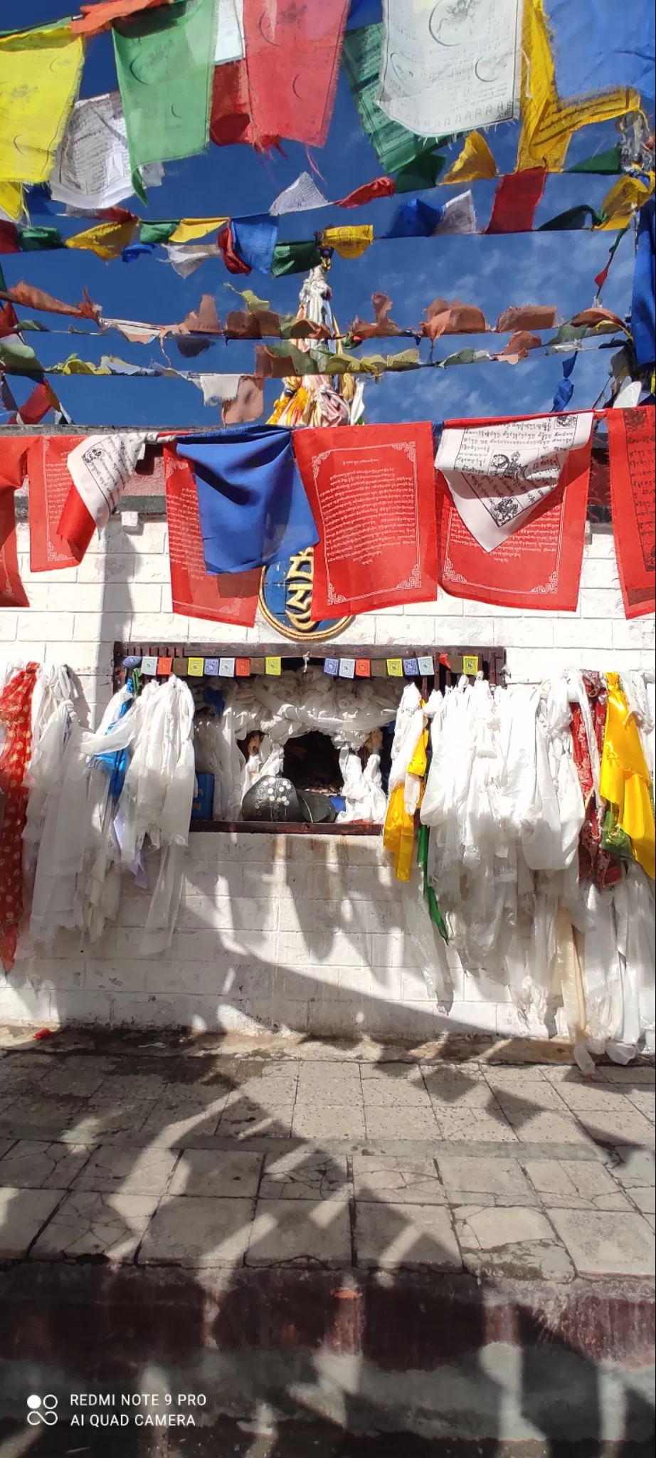
#Take a clockwise rotation at the mane on Kunzum top and pray to the Kunzum Mata for safe journey. As per local belief Kunzum Mata which is Kali mata as per Hindu symbology will help you reach safe.
***
#Have your breakfast at Losar because you wont get anything beyond here till Batal
#Remember your vehicles km reading at Batal because there are no milestones showing distance to Gramphoo while you desperately would need to see the distance decreasing.
***
Road journey on this route can be divided into five main parts:
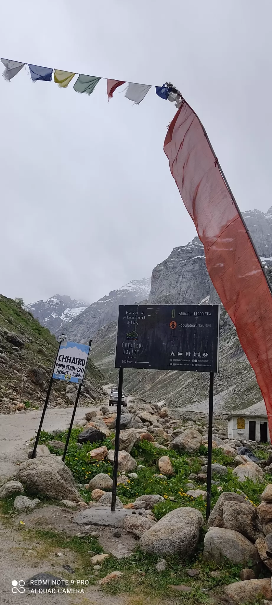
Kaza to Losar
Losar to Kunzum top
Kunzum top to Batal
Batal to Gramphoo
Gramphoo to Manali
***
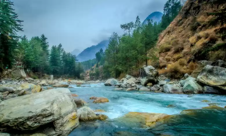
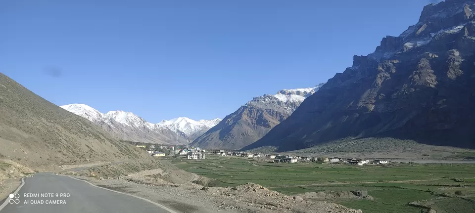
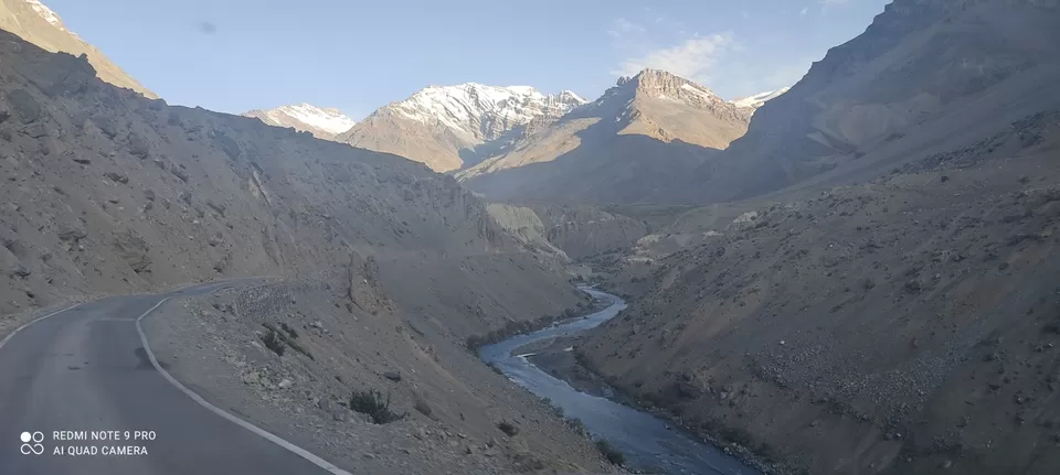
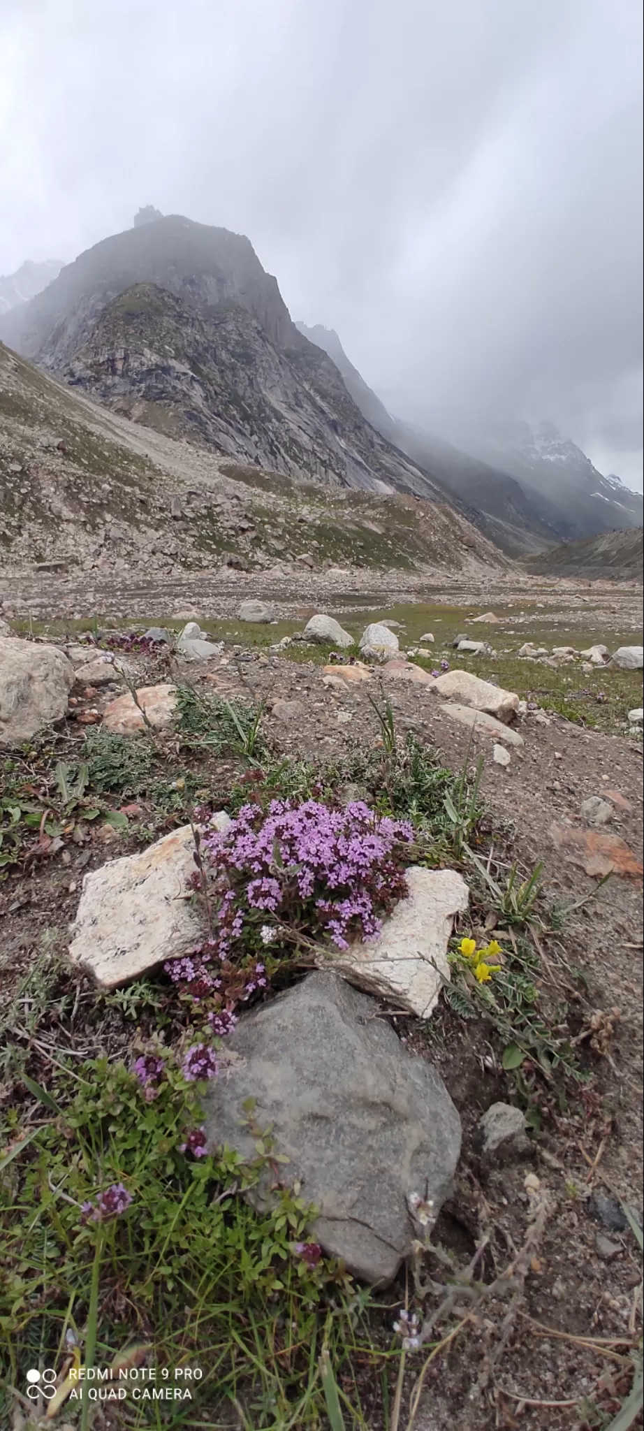
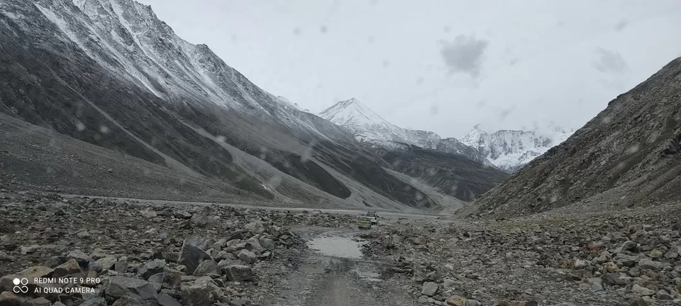
Kaza to Losar 55 km approx : This one is a smooth stretch. Up to Sumling it is almost plain and you'll just glide. However narrow, the road from Sumling till Losar is also good. The early morning view of barren and snow covered mountains partially dark and partially shining golden in the sun will look ethereal. You'll cross bridges made of wooden planks alone where more than one vehicle at a time is not allowed. The river will be flowing by your side sometimes on your left and sometimes on your right. You'll reach losar in about 2 hours.
***
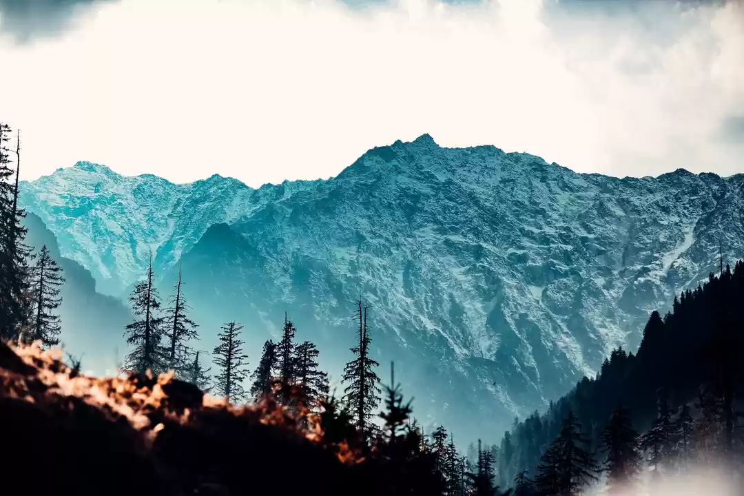
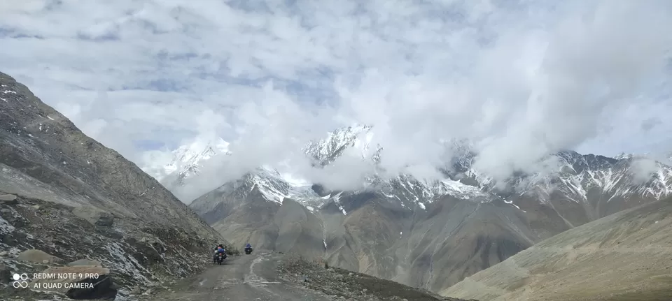
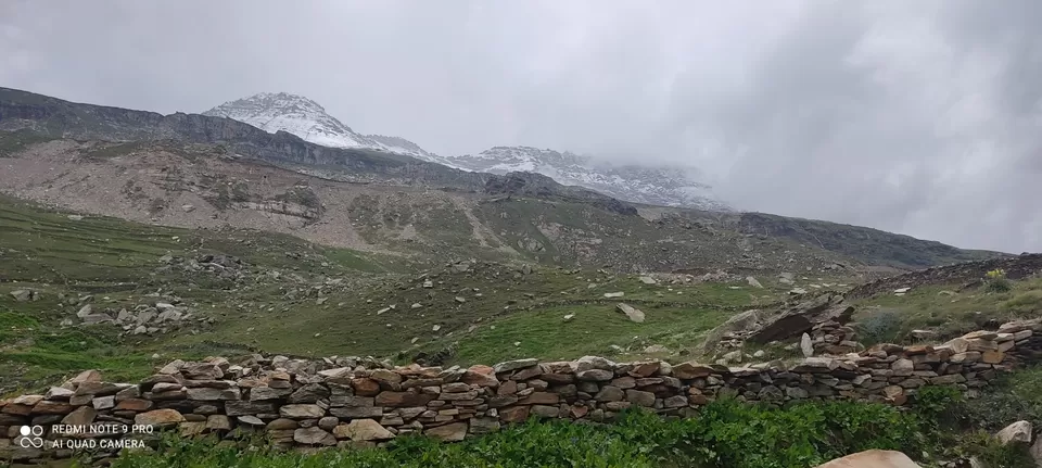
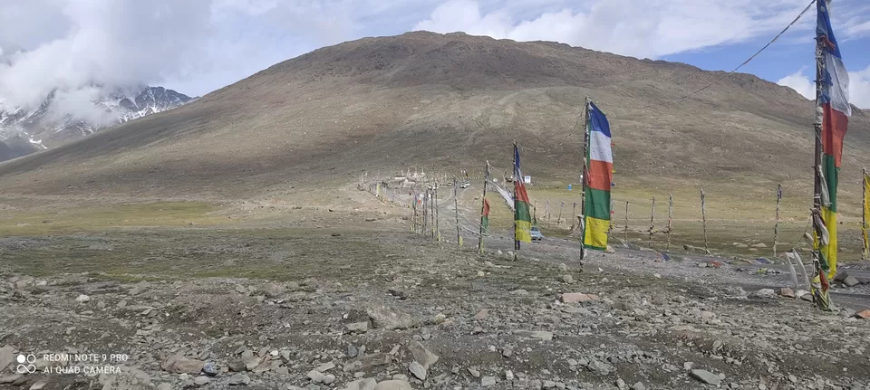
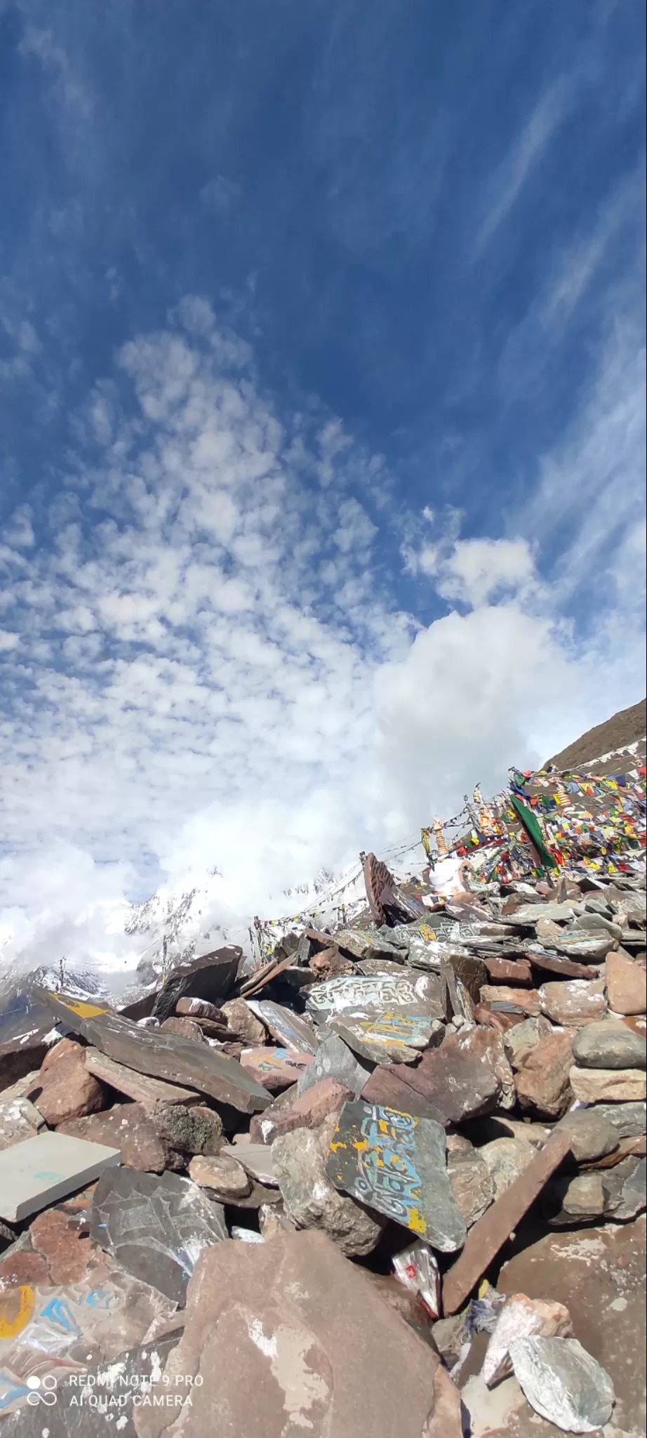
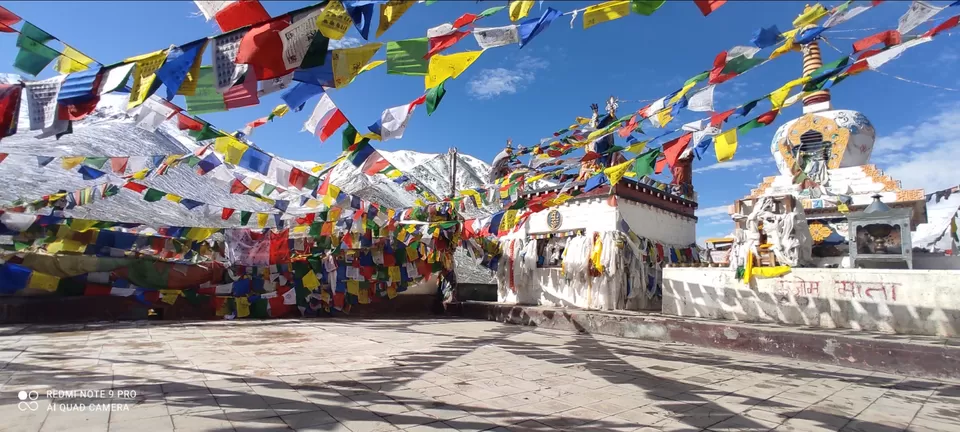
Losar to Kunzum Top 16 km approx: The roads will become kacha and you'll be climbing up with deep gorge on one side. The clouds will be playing with shapes in the sky completely unaware of your heart in the mouth. You'll see the clouds hiding behind snow covered mountains on one turn which'll reappear saying peekaboo on other turn. On reaching Kunzum top you'll see all vehicles stopping here and paying regards at Kunzum Mata temple. At the height of 4587 m Kunzum Mata Gompa midst the snow covered mountains and blue sky will look completely enthralling.
***
Ist stretch Kaza-Losar-Kunzum top
***
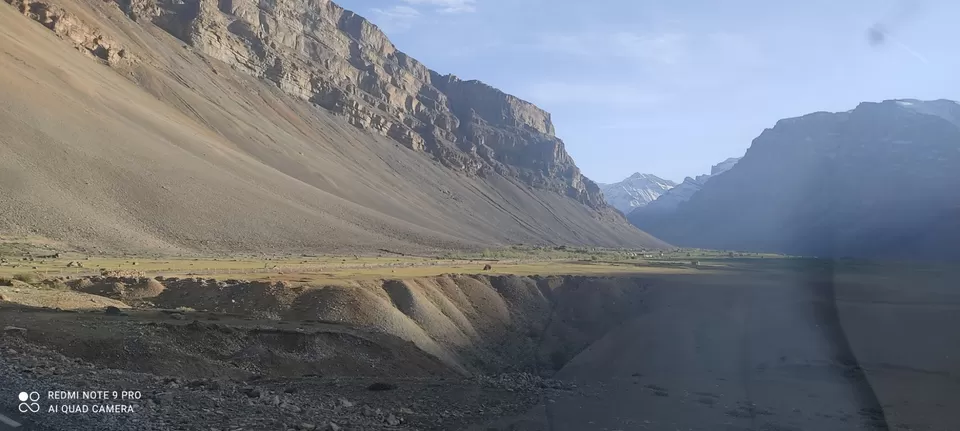
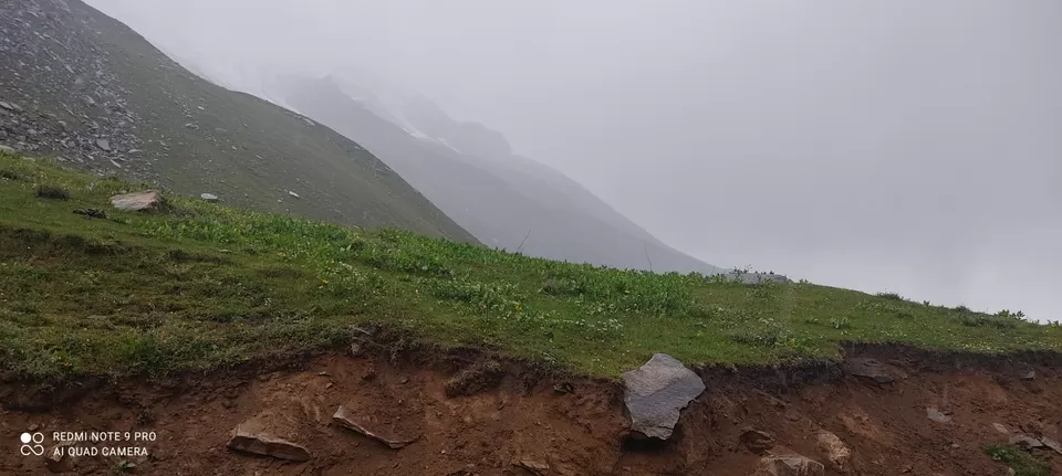
Kunzum top to Batal 13 km approx: By this time you would've made acquaintance with the kacha road and the flirtatious curves on vulnerable heights. You'll be praying off and on and in between you'll be trying to etch the beautiful road in your memory forever. You'll reach Batal by 9.30 or 10.00 A.M. At Batal there is landmark Chandra Dhaba ( also called chacha chachi ka Dhaba) opposite PWD rest house. We had stopped here for tea and a little chit chat ensued. On asking about road conditions we were told by chacha, "Beta ye to trailer tha, film abhi baki hai. Gramphoo tak 50 km ke lie 5 ghante lagenge."
P.S. if you're visiting Chandratal lake also, the route will be diverting before Batal and there'll be around 14 km off-roading. Its advisable to stay at Chandratal only or at Batal (No option except Chandra Dhaba or PWD rest house if you're extremely lucky). You can cover the last leg of journey on next day.
***
2nd stretch Kunzum-Batal
***
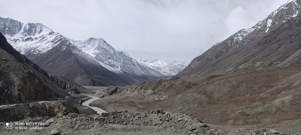
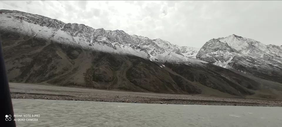
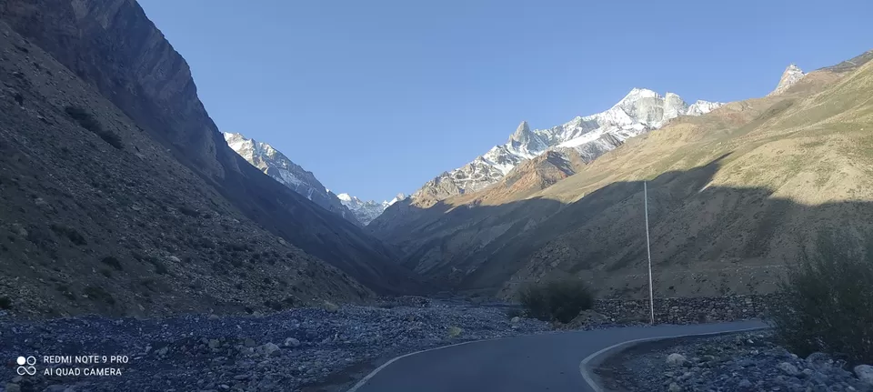
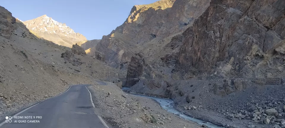
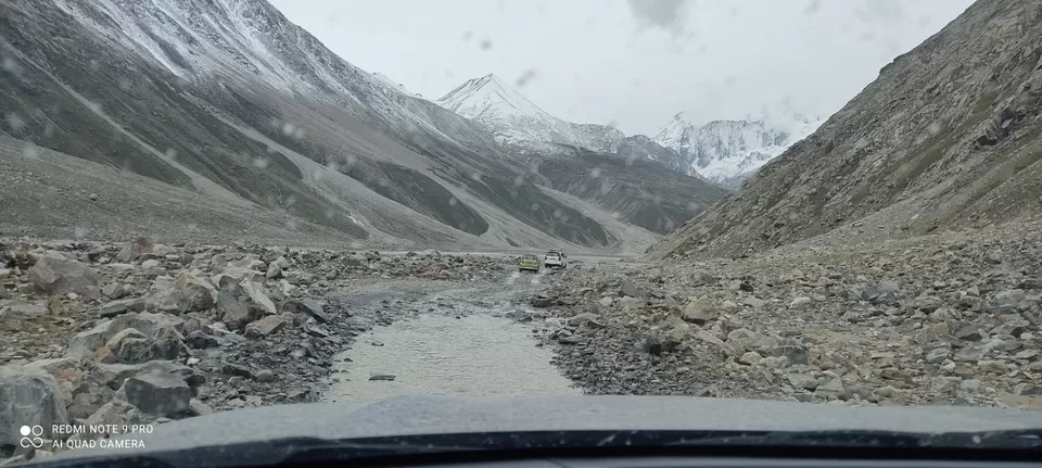
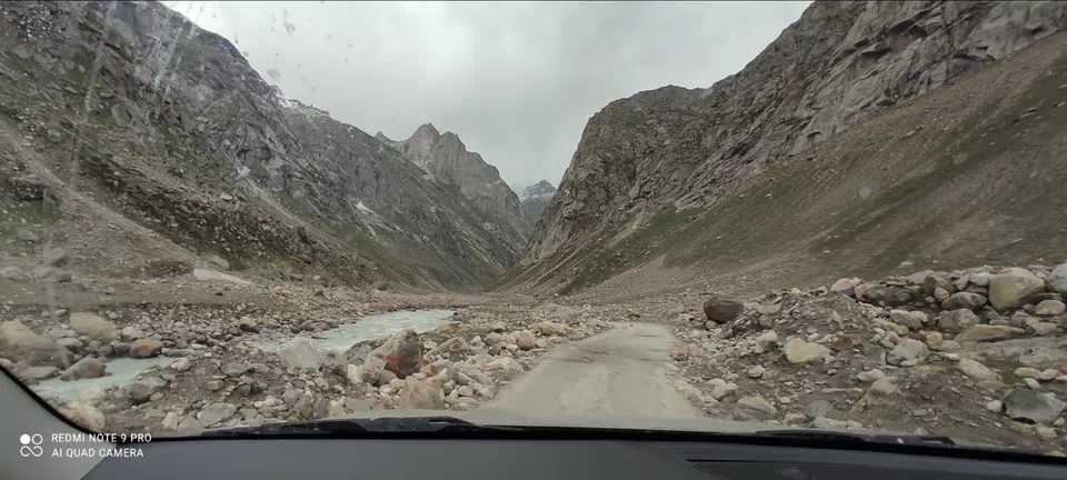
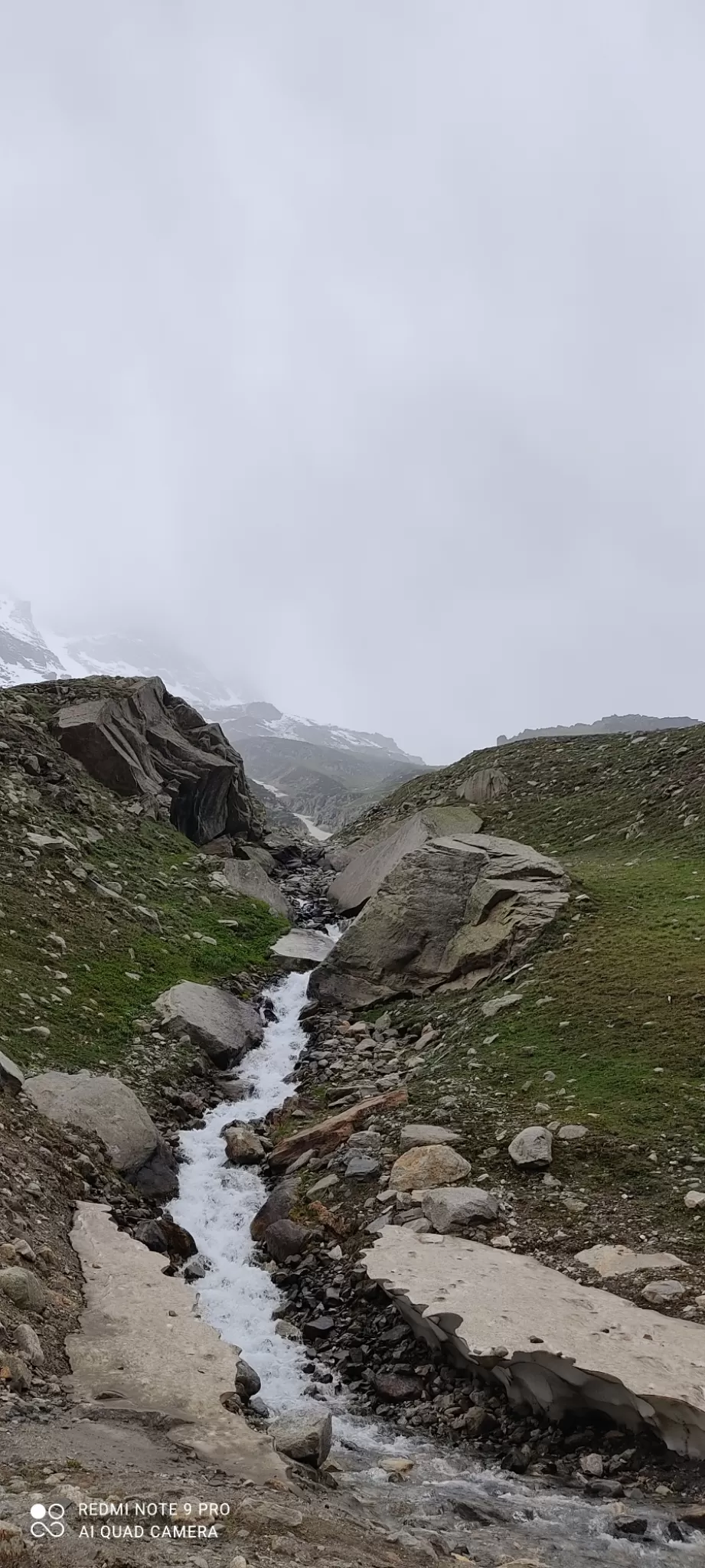
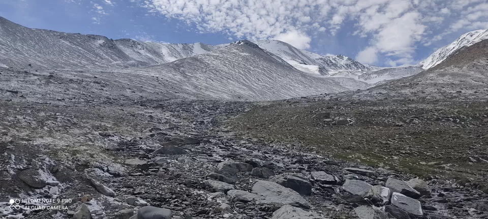
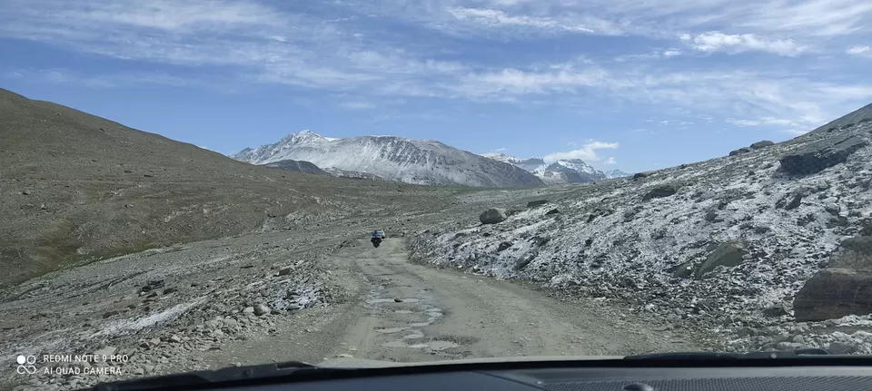
Batal to Gramphoo 50 km approx: There'll be pretty much 'no road' on this stretch. You'll feel like going through the pebbles of a Khudd. The mighty Chandra river will be flowing very close to you on one side and on the other the glacial mountains will be standing tall with off and on water streams emerging from them tracing the road to fall into the river below. The roads will be all mud, pebbles and stones. At certain points there will be all water and it'll be of great help if a high clearance vehicle is ahead of you to gauge the depth of water. There is no space for pass and your heart will come to your mouth if you've to back your vehicle on the zigzag stony watery slippery track with mighty river down below. Prayers will automatically bounce back and forth in your mind. We got the opportunity to witness one bus giving pass to the other from opposite direction on this mighty dangerous road and it was simply hats off to HRTC. There won't be any milestones mentioning Gramphoo. You may see some rare milestones mentioning distance to Chatru however. There'll be barren snow mountains and no sign of habitation. Sometimes you'll feel almost driving through the river bed. Battling all odds, as you reach Chatru you'll see a few camps and a small shop. From here Gramphoo is about 16 to 17 km. The landscapes start changing gradually after Chatru. The barren brown will slowly start giving way to greenery. The roads will still be treacherous. When we crossed Chatru, it had started raining a bit. The roads had gone muddy and slippery. There were green mountains in the view now. After Chatru, you'll just be hoping to see a glimpse of this mysterious Gramphoo. When you would've become desperate to see a glimpse of a tarred road, you'll finally see this tiny road merge into Koksar Manali highway and you'd sigh for good.
***
3rd stretch Batal-Chhatru
***
4th stretch Chhatru-Gramphoo
***
Gramphoo to Manali 47 km approx: This is a smooth tarred road and you would've already exited Spiti valley which is a world within a world :-) For some time and also for the times to come, you'll be in the awe of beauty you just left behind.
***
To read about interesting facts on Spiti valley click here

' fill='%23359391'%3e %3cpath d='M46.1538462%2c43.5714286 L41.5%2c50 L36.8461538%2c43.5714286 L36.8670256%2c43.5714286 C36.3173077%2c42.7142857 36%2c41.6851429 36%2c40.5714286 C36%2c37.4854286 38.4535641%2c35 41.5%2c35 C44.5464359%2c35 47%2c37.4854286 47%2c40.5714286 C47%2c41.6851429 46.6826923%2c42.7142857 46.1329744%2c43.5714286 L46.1538462%2c43.5714286 Z M41.4294872%2c39 C40.6150641%2c39 39.9487179%2c39.675 39.9487179%2c40.5 C39.9487179%2c41.325 40.6150641%2c42 41.4294872%2c42 C42.2439103%2c42 42.9102564%2c41.325 42.9102564%2c40.5 C42.9102564%2c39.675 42.2439103%2c39 41.4294872%2c39 L41.4294872%2c39 Z' id='Location-white'%3e%3c/path%3e %3c/g%3e %3c/svg%3e)