


It was just around three weeks since our last trek however it felt as if couple of months had passed by. Hence we decided to go for a relatively easy trek to Purandar fort. We even planned to cover Vajragad fort on the same day as we may finish early, however we were in for a pleasant surprise. We got quite a bit delayed in our start and finally started at around 7:30 AM. Driving from Pune, the Dive Ghat leads to Saswad; from where one need to take a right to Naranpur in-order to reach Purandar. There is also another option where you can go via Katraj which is a much quicker and relatively traffic free route. Our main aim to choose Dive Ghat was obviously to be on look out for birds, especially raptors. There was hardly any bird activity, which was pretty disappointing; probably we were a bit late.
I decided to take a right which was a narrow road leading to Sonori which further joined Saswasd hoping for some birding activity into the Village area and we did get lucky. Driving just for a km, we saw quite a no. of swallows; Red rumped as well as wire tailed. We also saw Large grey babblers, Black Drongos, Grey Francolins, Long tailed Shrikes, Laughing Doves, White throated Kingfisher and Brahminy Starlings. So much of birding only resulted in a drive lasting about an hour which covered only 8 KMs.
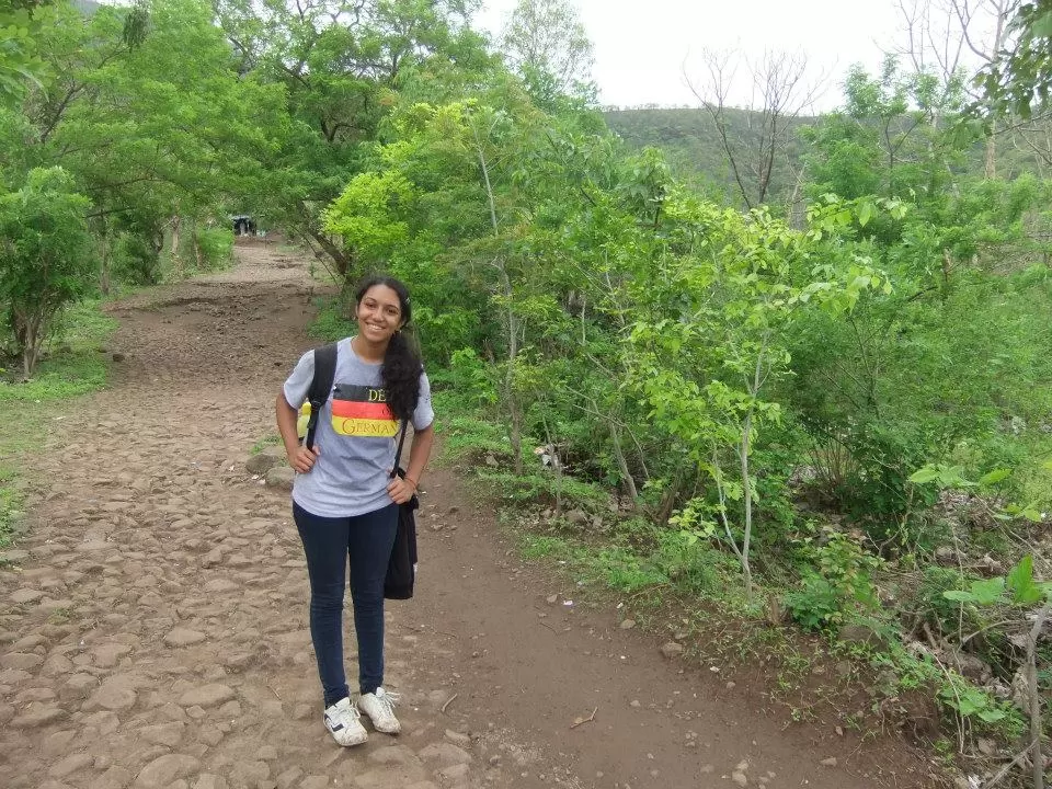
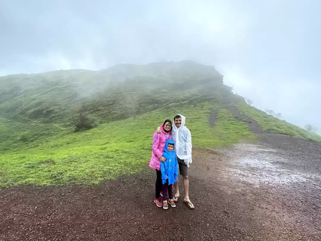
Finally we reached Saswad from where we took the road to Narayanpur. After driving for 9 KM we could see a road on left with sign boards leading towards Purandar Fort. Taking this road, we drove for another 1-2 KMs and reached a large Banyan Tree where we saw a couple of vehicles parked. This road further goes all the way up-to the base of the fort from where the steps begin; however if interested in trekking, one needs to park their car here. Make sure you have proper trekking shoes if you want to trek in rains. The weather was just perfect with climate being sunny and rainy intermittently.
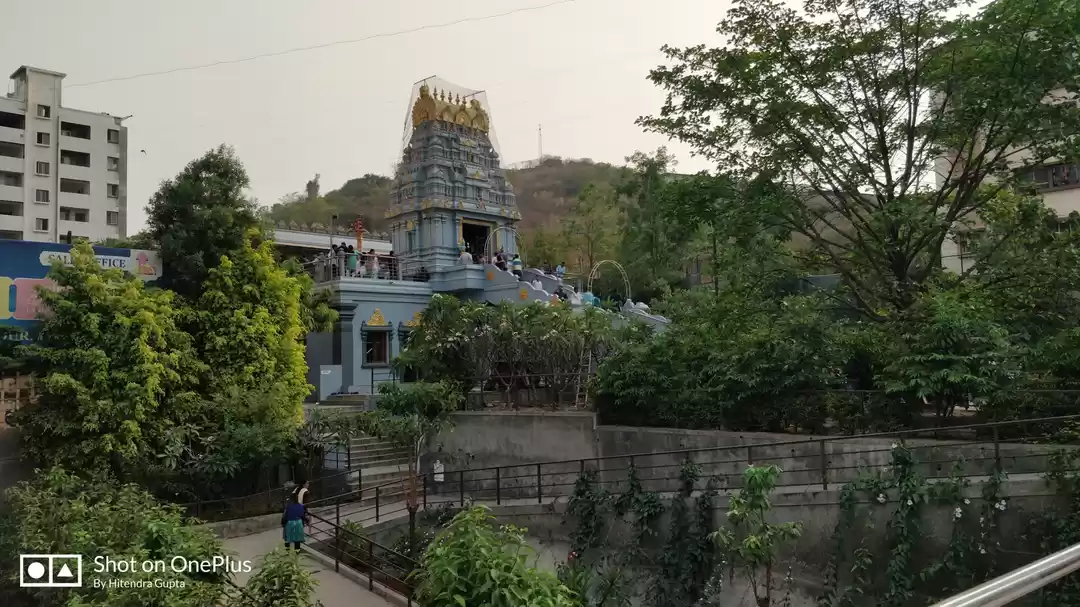
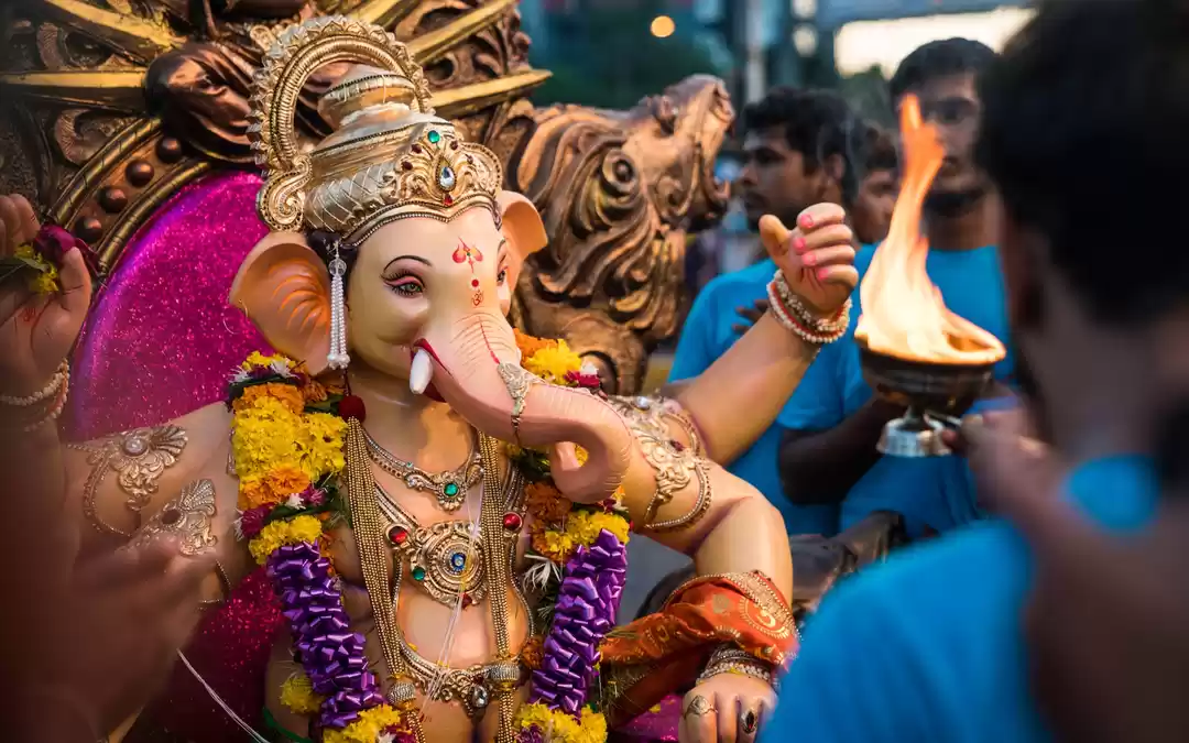
After trekking for around an hour, we reached the 1st entry point; the Binni Darwaza. There is also an old church at the same point. Note that the Purandar Fort is in the military area and hence has time restrictions from 9 AM to 5 PM. Once you cross the Binni Darwaza, you meet a Tar road which is the same road to drive the vehicle up to the base of the fort. One has to walk for another 500 metres or so from where the steps begin. Along the way, we also saw the Purandeshwar Temple.
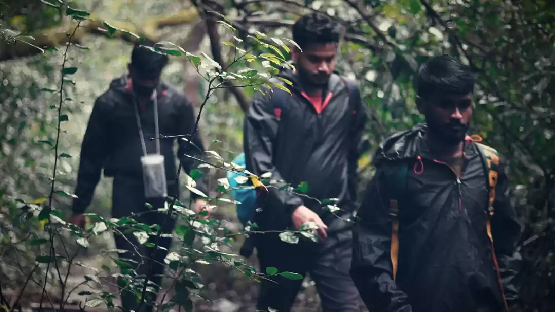
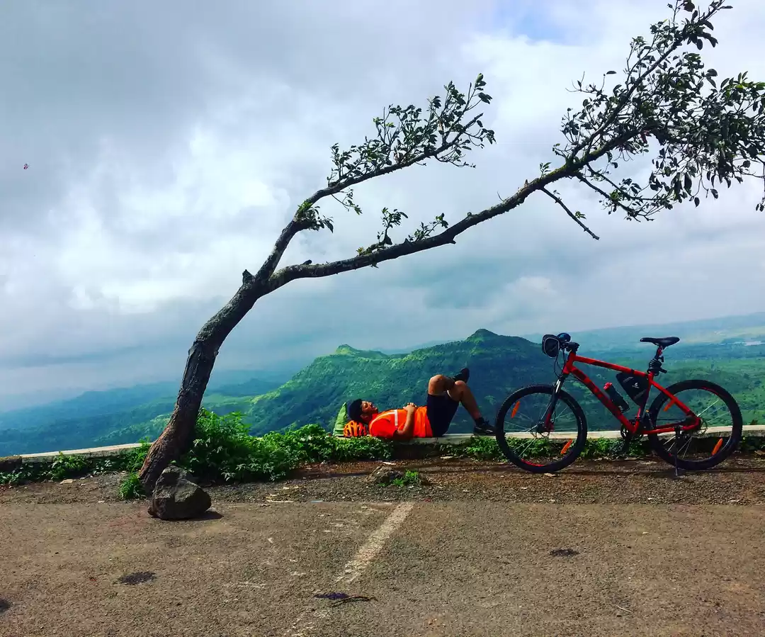
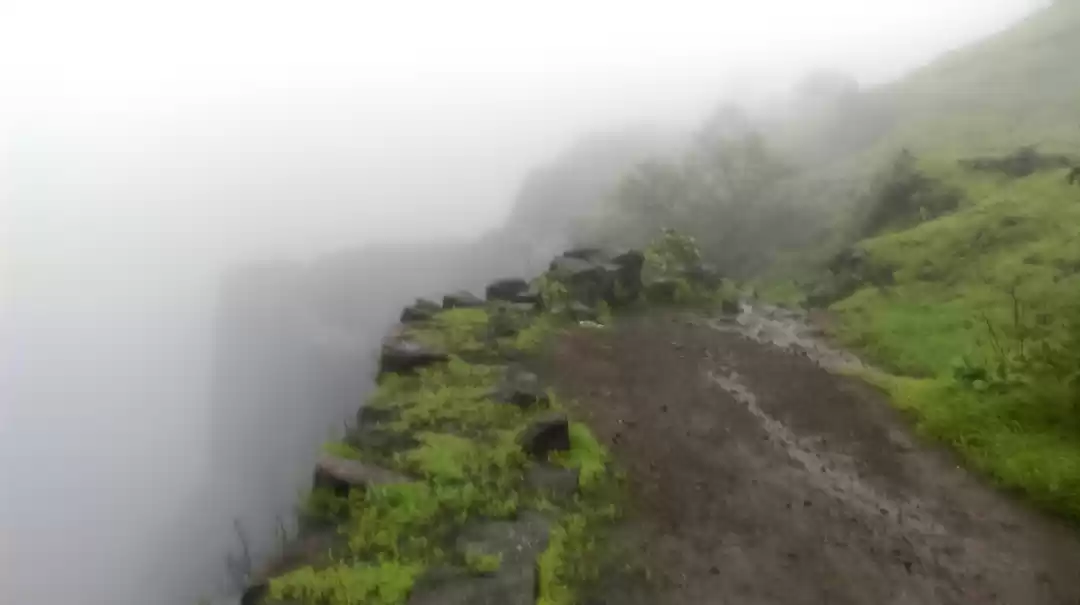
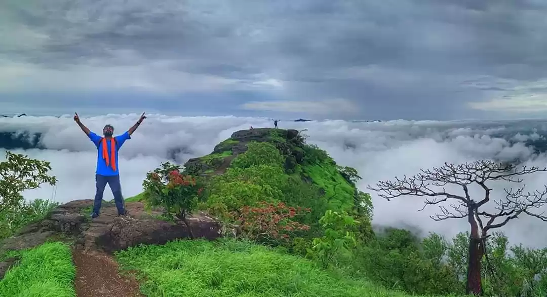
We spent a good amount of time at this point and started our descend from the temple. It was around 2 PM and almost the entire fort was covered with clouds. We could hardly see the trails or the valley. We also visited the buruj at the other far end of the fort. During the tea break, luck struck again and I saw a couple of orange coloured birds in one of the trees. It was a pair of Tawny bellied Babbler, another lifer! We also saw parakeets, Jungle Babblers, Greater Coucals and the melodious Malabar Whistling Thrush. We had realized that climbing down would surely not be as easy as climbing up; considering marshy and slippery trails. We decided to look around for short cuts but there weren’t any. Soon we saw a relatively less steep area next to the road and decided to take a chance and look for a trail. We had to make our own way; which only got steeper through the marshy land and bushes which only with no sights of any trails. Soon I spotted a cattle trail which only meant it was even more muddy. We somehow managed to take this trail and suddenly we were greeted with a patch of open land!.. What a relief that was.
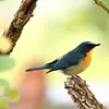
After driving for around 20 minutes we got to a place which was open and was serving food (We had skipped lunch). The best part of such trips is that you often get to binge on super delicious homely food and this time it was a sumptuous chicken thali. As we were waiting for lunch to arrive, I heard a pretty strong call of the Tickell’s Blue flycatcher! I was lucky again to get some real good shots of this little blue beauty…
Surely this was one heck of an adventurous trip for me. The feeling was nothing short of an accomplishment, especially due to the return journey. All our assumptions about this trek were completely incorrect, that we would be able to wind-up pretty quick. It does take a good amount of time to explore the fort completely. Add to that the lovely experience of trekking in rains, through the streams and marshy land. Be it the beautiful birds we saw, or the unique trekking experience; this was definitely my best trek till date.How to reach: There are couple options to reach this fort;
1. Via Katraj -> Khapurhol -> Narayanpur -> Purandar. This trek is probably the fastest due to less traffic and wide roads.
2. Via Hadapar -> Dive Ghat -> Saswad -> Narayanur road -> Purandar. This is probably the more picturesque of the two; as you drive through the ghats but at the cost of some extra distance and relatively more traffic.
There is also a third option via Kondwa Budruk, which joins Saswad through the Saswad Bopdev ghat road. I guess this will be pretty similar to the Dive Ghat road.Tips & information:
1. There is no place to eat at the fort, there is only 1 small shop at base of the fort which serves Tea, Pitla Bhakri and Kanda Bhajji.
2. There are no wash rooms at fort or at the base of the fort
2. Military guards ensure you need to return to the base by 4:30 pm so plan your trip accordingly
3. Best time will be immediately after rains, however trekking in rains is a different experience all together. So in-case you are planning a trip in rains, make sure you wear shoes with good grip.
And finally, please do not litter and throw plastics in and around the fort.

Due to a very high birding activity I was driving super slow, and the best part was that traffic is almost nil on this road which allows one to stop at will. Suddenly I saw a Long tailed Shrike which was little smaller in size; only to realize later that it was a Bay backed Shrike!

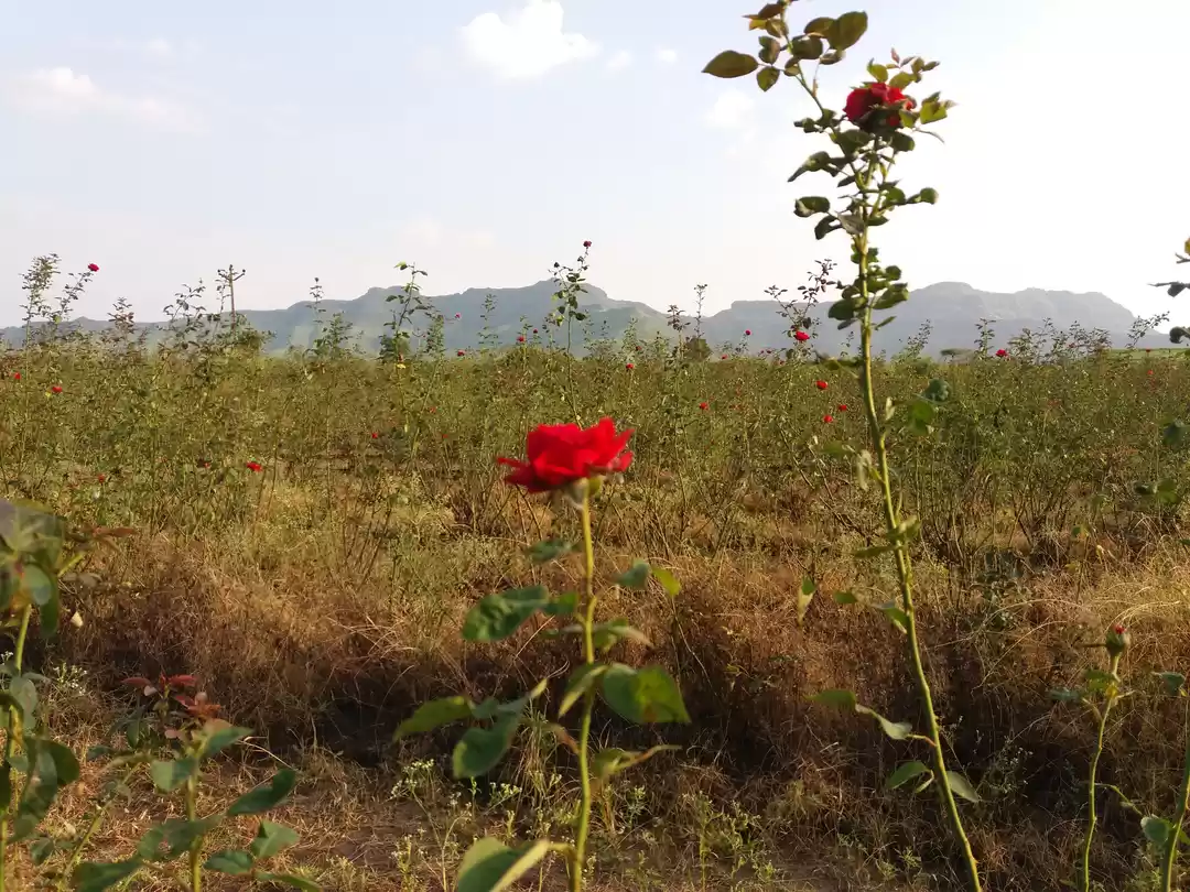
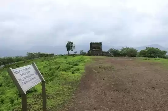
The trails were hardly visible due to the trees and bushes. Also at many points the trails were marshy and muddy. All the way through the trek, you will get to see some awesome landscape views. It’s completely green all around.

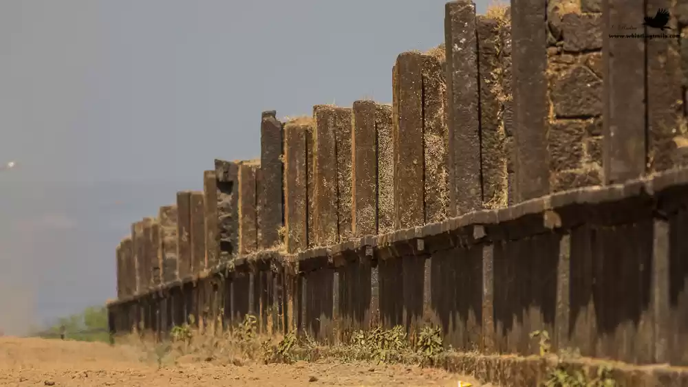
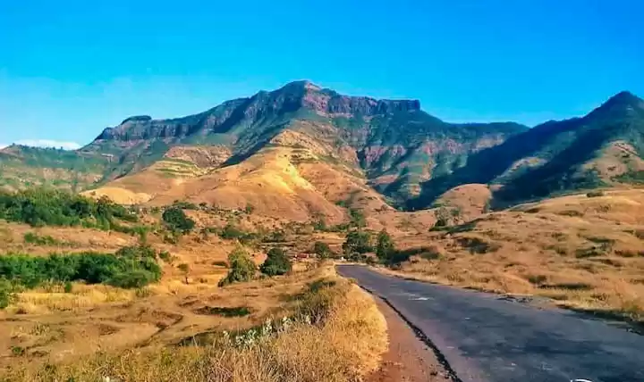
A 30 minute walk and we reached the fort. As with all the forts, it offers some beautiful views and party sunny weather only ensured enough light for photography. We rested for around 5-10 mins and started towards the Kedareshwar temple. This temple is the highest point on the fort and takes a good 20 minutes to reach this point. We saw a lot of fortification and fort ruins along with way; and just as we arrived at the temple, we were lashed by heavy rains for at-least 15 minutes with clouds all around. Definitely a 1st time experience for me; awesome for sure!