In 1949, Xinjiang became a part of the People's Republic of China, shutting down trade and any sort of movement in the Karakoram Pass. The pass sits at the height of 18,176 ft and was one of the most important auxiliary axis' of the ancient Silk Route.
The pass had seen no movement until a group of mountaineers took permission from the Indian and Chinese government in 2007 and trekked to the 'death trail'.
You might think that a place so fascinating and of high relevance would have intrigued a lot of people, but even Google doesn't have the answer to my questions. I dug around as deep and far as I could.
This is what I found out about the Karakoram Pass
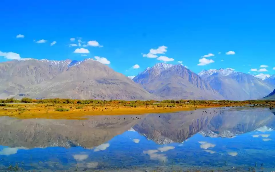
1. The Karakoram Pass was at the heart of Silk Route, which Chinese merchants used to transport silk to Rome. The route went via Karakoram from the Leh-Nubra valley into Hunza and then further.

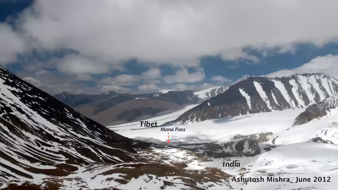
2. It falls on the border of a territory controlled by India (Jammu and Kashmir region) and China (Xinjiang Autonomous Region).
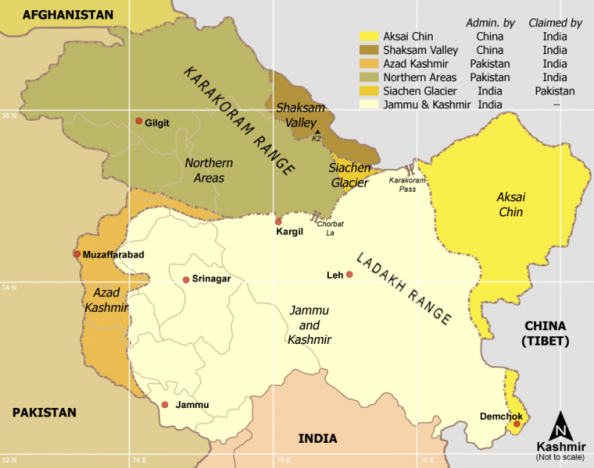
3. The conflicted area of Siachen Glacier lies at the immediate west of Karakoram Pass, putting it at a highly tense and important role in the geographical politics between India and Pakistan.
4. It was the trade through Karakoram Pass that influenced the food, dress and dance forms of Ladakh.

5. The high number of Indian traders moving to and fro went on to name towns in Xinjiang as “Chini Bagh” at Kashgarh, “Gurdial Sarai” and “Kashmiri Kucha” (street) at Yarkand.

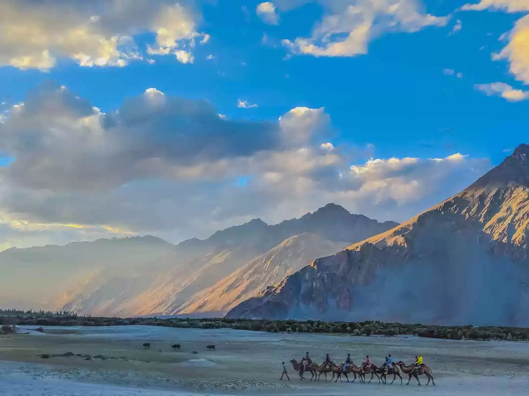
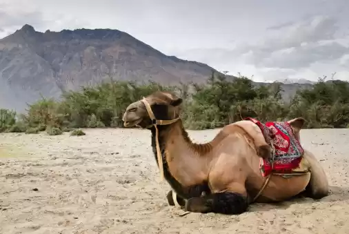
6. In fact the very famous Bactrian (double-humped) camel of Nubra Valley is a species which came to Ladakh from Xinjiang.

7. After remaining closed for 58 years, a group of Indian trekkers pulled every possible string and made it to the Karakoram Pass. Their epic adventure can be read here.
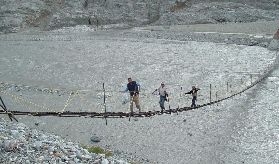
8. This is the only documented account of a trek to Karakoram Pass. The only other mentioned is found in Harish Kapadia's book 'Into the Untravelled Himalaya: Travels, Treks, and Climbs'.

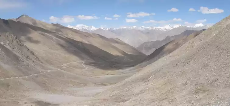
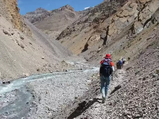
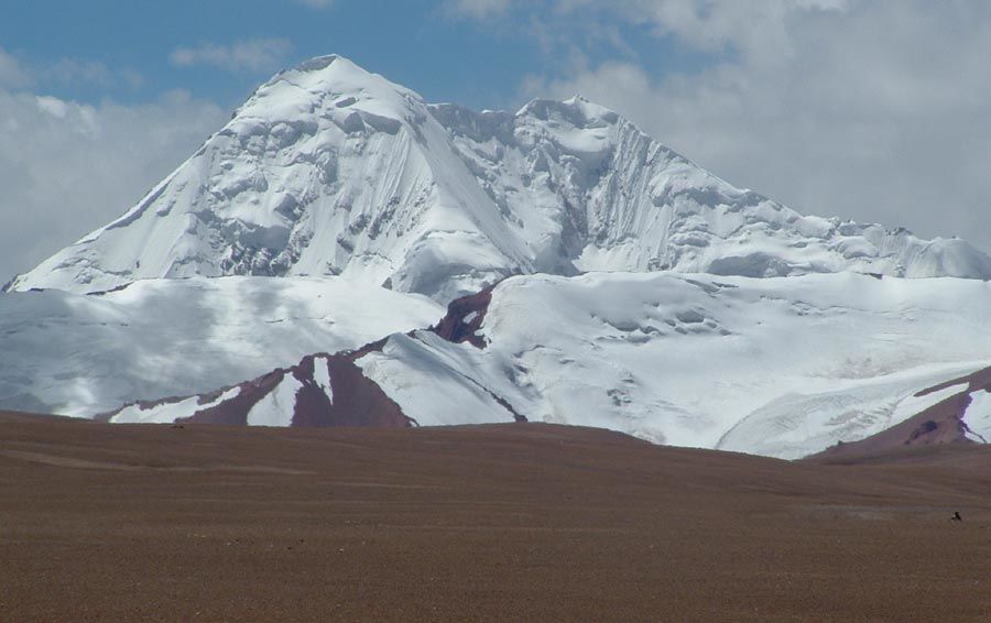
9. The trail starts from Nubra Valley and goes through some of highest passes, the Saser La (5395 m), Depsang La (5415 m) and finally the Great Karakoram pass (5569 m).
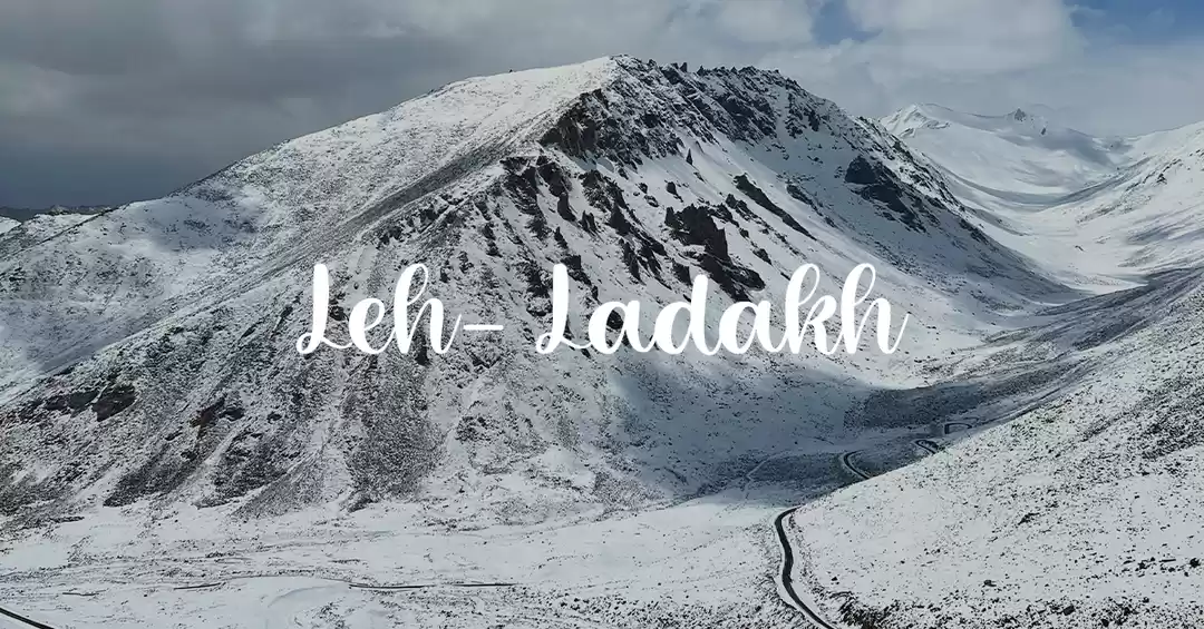
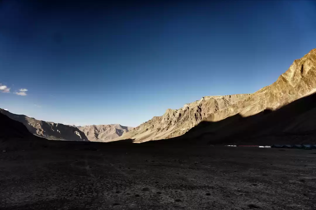
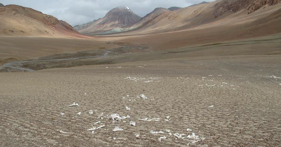
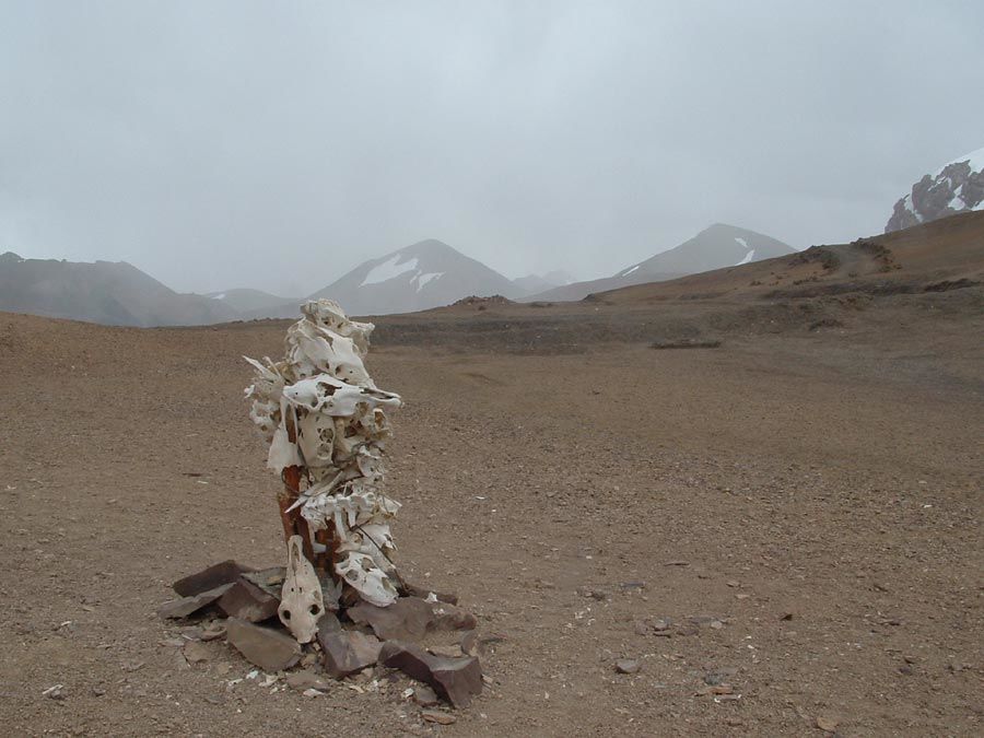
10. The pass appears to be cradling death between two mountains. At the height of 18,176 ft, no vegetation has made its way here. Even snow cannot reach the Karakoram Pass due to the high winds and the only sight is a trail of animal and human bones.
Why Should The Karakoram Pass Be Opened
11. The gradual ascend from both sides of Karakoram Pass is tough but not impossible. Making it a exciting challenge for any and every hardcore trekker.
12. The exchange and enabling of adventure tourism between India and China might ease out the deadly tensions between the countries.
13. Historians and old school mountaineers who do know about the Karakoram Pass have dreamed of visiting this iconic part of Silk Route for decades. Deprived of any opportunity, the community has even stopped talking about it.
14. The Karakoram Pass has been central to Ladakhi culture and is a living, breathing piece of history, which remains locked inside a bunch of treaties. The complete loss of accessibility will soon turn it into a forgotten wonder.
15. In Xinjiang lie the Kumtura Thousand Buddha Caves, which date back to the 5th and 11th centuries. The Kumtura Caves has always been a holy pilgrimage for Buddhists, who since many years now, have no other way to visit the site.

16. Opening the mighty Karakoram Pass will not just boost the economy of Ladakh but also revive ancient cultural ties between India and China, which existed way before modern conflicts.
Mountaineers can visit and pay homage to the memorial of climbers who died trying to make their way (in 1935).

The Karakoram Pass should not be faded into decade old articles and a single documented trek. It deserves our attention. If anything, it at least deserves our fascination.
Frequent searches leading to this page:-
polu memorial, karakoram pass trek


