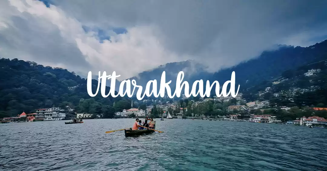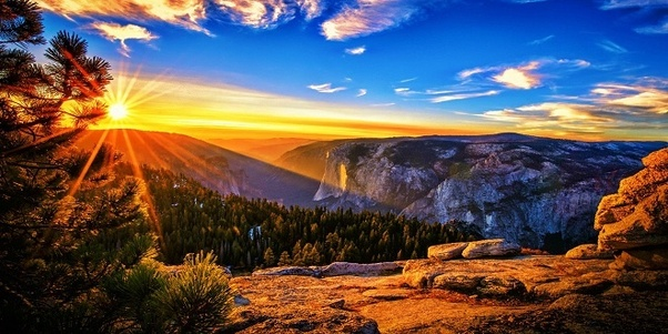

Nestled in the colossal mountains and deep valleys of the Himalayas, the Seven Sisters of the Northeast India are unexplored treasure troves. While we are familiar with the much publicized tourist circuits, festivals and national parks (read: Tawang, living root bridges, Kaziranga National Park, Hornbill Festival), which to some extent define northeast for other states of India, there are many secrets of this sorority travellers still haven't stumbled upon. Here is a list of the pièces de résistance from each state.

Palak Dil, Mizoram
The origins of the swallowing lake, or Palak Dil, in the Palak Wildlife Sanctuary, is shrouded in legends. The oval-shaped water body is southern Mizoram’s biggest natural lake, covering an area of about 1 sq km. It is surrounded by a lush tropical forest and is home to a rich aqua-fauna ecosystem. Various types of fish and crab are found in the lake and the surrounding forest is home to the wild pig, the tiger and the Asiatic black bear. Rarely-seen birds such as the spot-breasted scimitar babbler, the black-capped kingfisher and the white-rumped munia are also found here.
How to reach: Guwahati has connecting flights to Aizawl, the nearest city. Hire a cab.
Must-see: This place is believed to be a favourite winter stop for the migrating pintail duck.
USP: Mists transform the lake into a magical land. Sometimes you may not even see anything in the thick mist.
Travel Tip: Travel between October and March. Also carry a good binocular for bird watching.

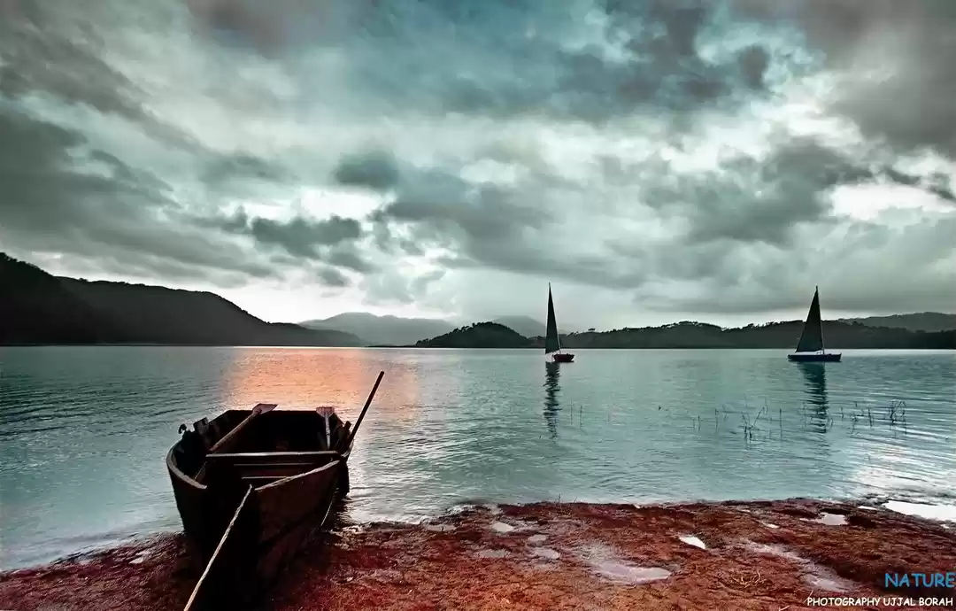
Son Beel, Assam
Situated in Karimganj district, Son Beel is the largest seasonal wetland in the Northeast and the second-largest in Asia. With hills on its east and west, and the Shingla river running through the middle, the wetland is a paradise for photographers. Son Beel’s distinctive landscape is formed by the Hizol trees, the Barringtonia acutangula, which thrive even when they are half submerged in water. In the dry winter months, Son Beel becomes a functional farmland and in the monsoon (March onwards), the land fills with water to become a lake. When there is too much rain, it overflows and the excess water is channelled through the Kakra and Kushira rivers into Bangladesh.
How to reach: Son Beel is about 80 km from Silchar, if you wish to travel via Karimganj.
Must-see: You must not miss the unique fishery with several local species and an open duckery.
USP: Try out the bhujia fish, a speciality dish served at most local restaurants and homes.
Travel Tip: Rent a boat and spend the day visiting nearby places like Mokam Kalibari, Devodwar and Anandpur.


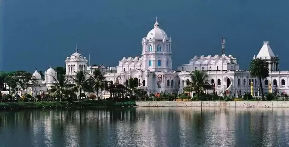
Sepahijala wildlife sanctuary, Tripura
A woodland spread over 18.5 sq km, with an artificial lake, rubber and coffee plantations, and natural zoological gardens that are home to five species of primates and more than 150 species of birds, Sepahijala has been planned both as a wildlife sanctuary and a research centre. One can explore the wilderness on an elephant or on the toy train; or go paddleboating or rowing in the Sepahijala lake. Last sighted 72 years ago in India, the crab-eating mongoose was recently seen again in this sanctuary. Tripura’s state tree, agar; state flower, nageshwar; state bird, dukul (the green Imperial pigeon); and state animal, the spectacled langur, are also found here.
How to reach: Sepahijala is 25 km from Agartala, connected by flights with Kolkata and Guwahati.
Must-see: This is the only sanctuary with a zoo inside it. A part is the clouded leopard special zone.
USP: Winter witnesses several migratory birds and also the clouded leopard.
Travel Tip: The Forest Department runs a forest bungalow, Abasarika, and cottages inside the sanctuary.


Mon, Nagaland
An ethnic paradise, Mon is famous for its headhunting Konyak Nagas. The largest of the 16 officially recognised tribes in Nagaland, the Konyaks were once believers of violent animism that celebrated headhunting. Capturing an enemy’s head was the rite of passage for boys and was believed to increase the fertility of the warrior taking it. Only a person who had successfully hunted a head was given the facial tattoo. However, headhunting was banned in the 1950s. Today, the facial tattoos and ethnic warrior jewellery are just symbols of their heritage - and the Konyaks wear them with pride. Don't miss the house of the Angh, the hereditary chiefs of the Konyaks. Mon has some of the finest tribal artwork, from daos (machetes) and guns to wood carvings, headgear and necklaces.
How to reach: The nearest airport is Jorhat, 161 km by road. Reach Sonari or Simulguri and then hire a car to Mon.
Must-see: The house of the Angh, which is adorned with skulls and exquisite woodwork.
USP: The Myanmar border passes through the Longwa village, dividing the chief’s house into two - the kitchen is in India, the bedroom in Myanmar.
Travel Tip: Travel between December and April, which sees many festivals.


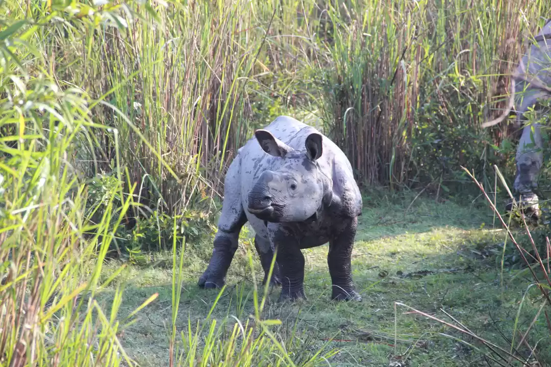
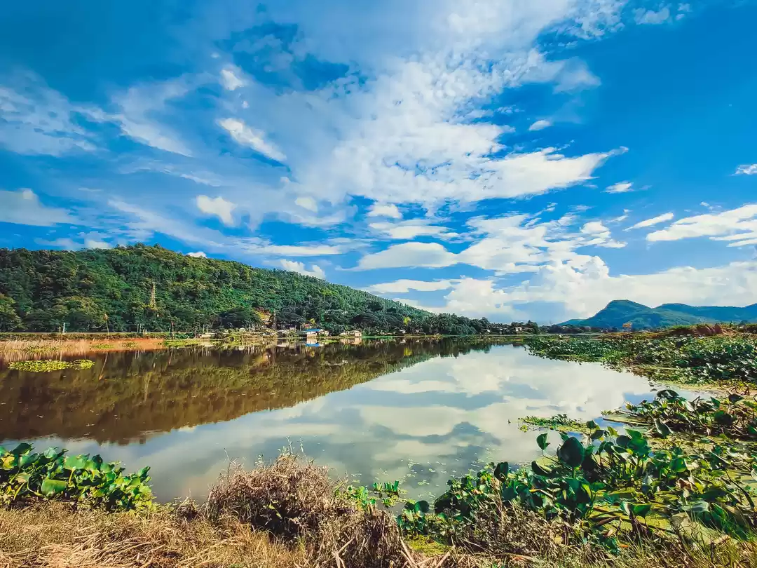
Keibul Lamjao Park, Manipur
Loktak Lake in Manipur has always been a crowd puller with its solidified floating masses of decomposing vegetation, soil and organic matter (phumdis) scattered all over the lake, lending it an exotic feel. However, very few know that to the southern edge of the lake lies Keibul Lamjao National Park, the only floating sanctuary in the world, which is also home to the endangered eld’s deer, or the sangai. A walk in the park is quite an adventure with its floating swamps bobbing under your feet. But the park is best explored on dugout canoes that ply in its narrow waterways. An integral part of Loktak Lake, the park relies heavily on the lake's floating vegetation for its existence.
How to reach: Imphal is about 35 km from Loktak Lake. Sendra Island is 48 km from Imphal.
Must-see: Watch the sangai dance on the bobbing grass islands. Best seen in winter.
USP: The phumdis or floating organic matter on the water surface.
Travel Tip: Visit between November and March, and spot a few migratory birds as bonus.


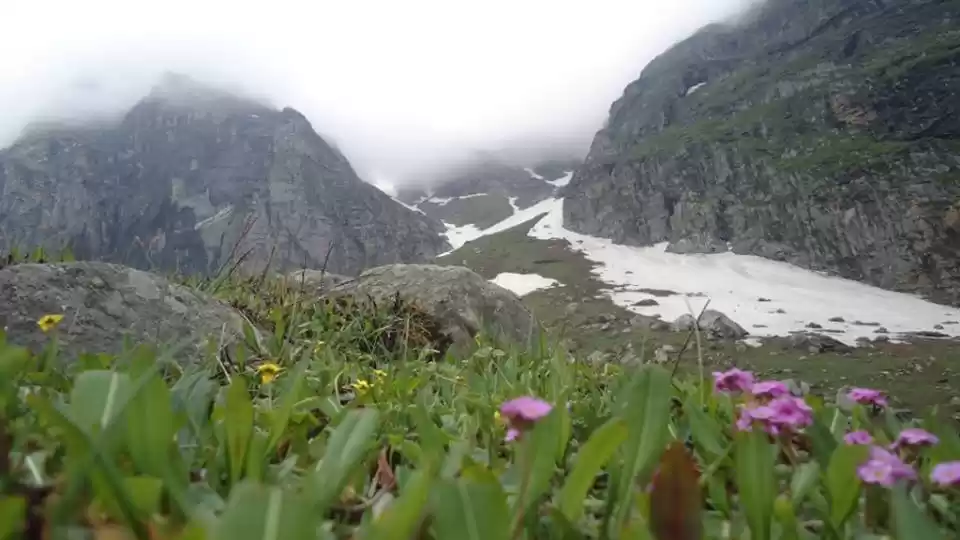
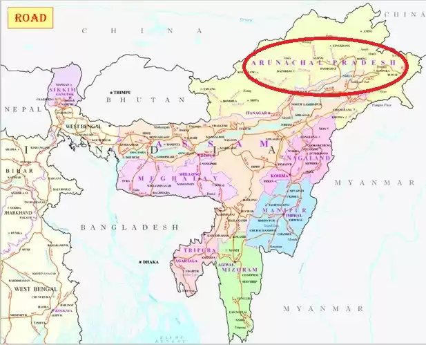
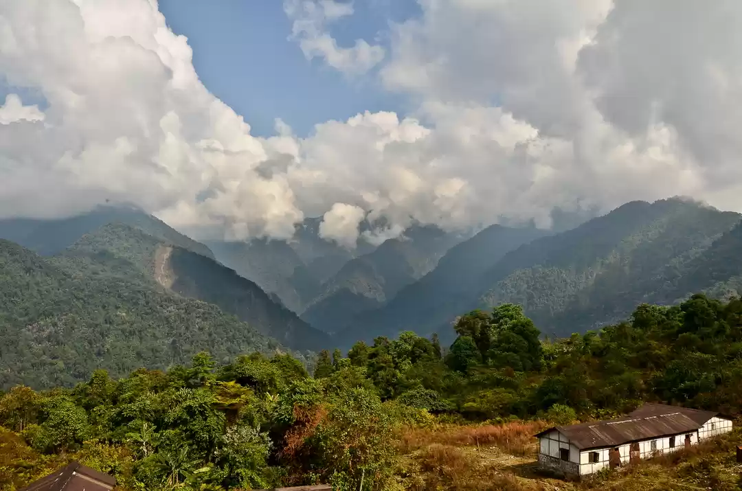
Namdapha National Park, Arunachal Pradesh
On the eastern-most tip of India lies one of its largest national park and tiger reserves. The Namdapha National Park, covering an area of 2,000 sq km, is among the last great remote wilderness in Asia. It is situated in the beautiful valley of the Noa-Dihing river and extends into the Myanmar territory. The area lies close to the Indo-Myanmar China tri-junction. Forests are contiguous across the international boundary with Myanmar, with several adjoining protected areas, including the recently declared Hukawng Valley Tiger Reserve. Its unique geographic location and habitat, ranging from warm tropical plains to icy Himalayan highlands, is what makes Namdapha home to species and tribal cultures that cannot be found anywhere in the world.
How to reach: The nearest airport, Mohanbari, Dibrugarh, is 160 km from Miao town (entry point).
Must-see: This national park is home to the snow leopard, the clouded leopard, the common leopard and the tiger.
USP: This is the third largest national park of India.
Travel Tip: The best time to visit is between October and April. Travelling with a tour operator is recommended.


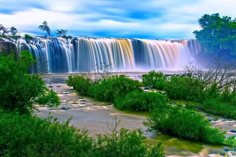
Wah Krip Falls, Dawki, Meghalaya
The crystal clear water and flying boats of Umngot river of Dawki do not remain a secret, anymore. But there are more attractions around this border town sandwiched between the hills of Meghalaya and the plains of Bangladesh. With hundreds of trucks passing through it daily, Dawki is a trade transit point between India and Bangladesh. Umngot river marks the natural separation between the Khasi and the Jaintia hills, and is forded by a suspension bridge that connects India to Bangladesh. Constructed in 1932 by the British, the Dawki bridge has military interest, owing to the town’s strategic location. Another very interesting discovery in Dawki is the Wah Krip Falls. No less emerald green than the water of Umngot river, the falls are yet to mark its existence on digital maps.
How to reach: The closest airport is in Guwahati. NH-40 connects Dawki to Shillong via road, a mere 95 km.
Must-see: British era suspension bridge and Wah Krip falls.
Travel Tip: Visit Dawki in the day for the best experience.
USP: Proximity to the Bangladesh border allows us to see two very different culture.
An abridged version of this article was first published in Air India's in-flight magazine Shubh Yatra


Frequent Searches Leading To This Page:-
Arunachal Pradesh 4 nights 5 Days Package, Tour Itinerary for Incredible Arunachal, Tour to Eastern Arunachal Pradesh, 7 Days Honeymoon Arunachal Pradesh, Arunachal Pradesh Holiday packages

' fill='%23359391'%3e %3cpath d='M46.1538462%2c43.5714286 L41.5%2c50 L36.8461538%2c43.5714286 L36.8670256%2c43.5714286 C36.3173077%2c42.7142857 36%2c41.6851429 36%2c40.5714286 C36%2c37.4854286 38.4535641%2c35 41.5%2c35 C44.5464359%2c35 47%2c37.4854286 47%2c40.5714286 C47%2c41.6851429 46.6826923%2c42.7142857 46.1329744%2c43.5714286 L46.1538462%2c43.5714286 Z M41.4294872%2c39 C40.6150641%2c39 39.9487179%2c39.675 39.9487179%2c40.5 C39.9487179%2c41.325 40.6150641%2c42 41.4294872%2c42 C42.2439103%2c42 42.9102564%2c41.325 42.9102564%2c40.5 C42.9102564%2c39.675 42.2439103%2c39 41.4294872%2c39 L41.4294872%2c39 Z' id='Location-white'%3e%3c/path%3e %3c/g%3e %3c/svg%3e)