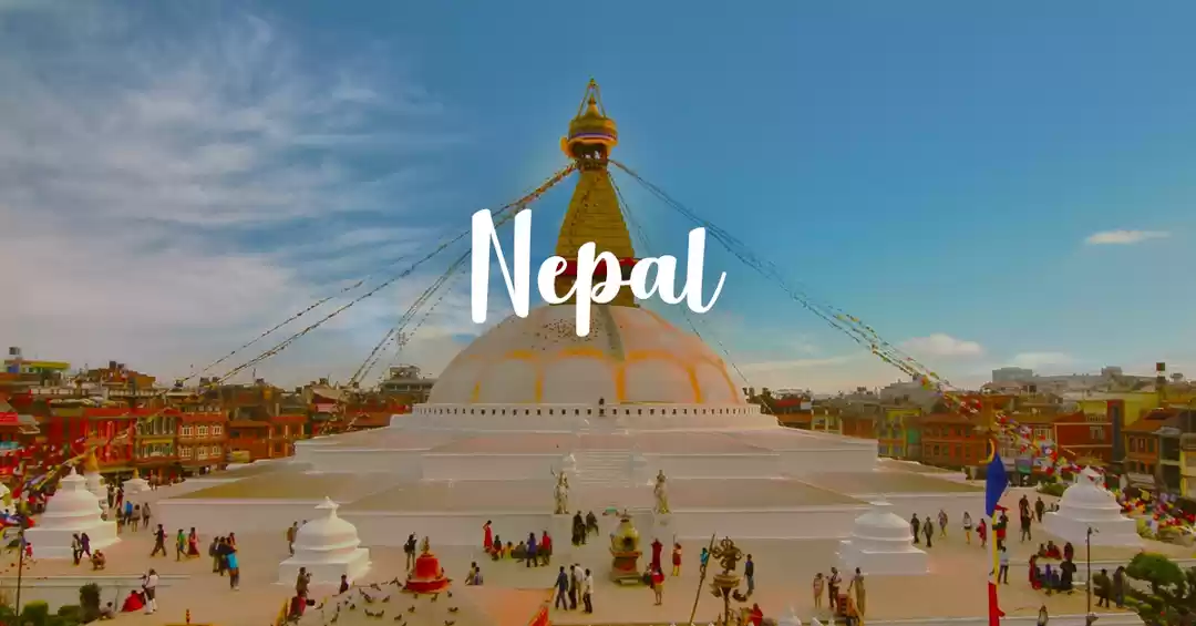
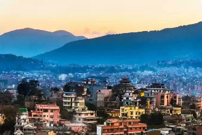
Starting Point: Besisahar (820 meters), Lamung district, Nepal
Date: 14th Oct 2019
Ending Point: Ghermu (1130 meters), Lamung district, Nepal
Distance covered: 27 Kms (App used - Strava)
Gross elevation gain: 1400 meters (App used - Strava)
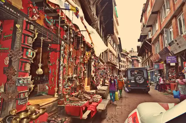
The Trekker Information and Management system (TIMS) check post at Besisahar opens up between 06:30 am to 07:00 am and that is the earliest you could start off your day. It is MANDATORY to make an entry at the check post and it really helps the management to keep a track of all the trekkers in the Annapurna Conservation Area.
One need to show the ACAP and TIMS permit at the check post which can be obtained at the Nepal Tourism Board in Kathmandu.

Picture 1/10:
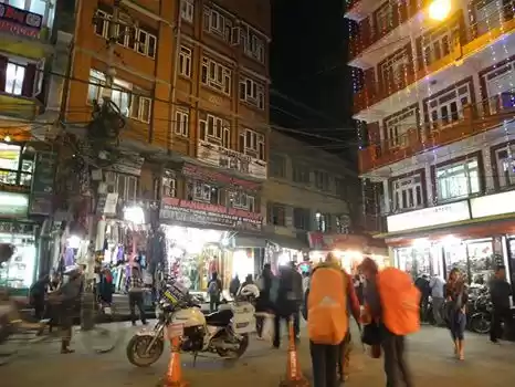
The moment you start from Besisahar check post you walk on an unpaved road and after walking for 1-2 km you could take the first diversion that will take you on the other side of the Marsyangdi river through the very first suspension bridge. The trail on the other side is indeed beautiful and you could hike up to Ngadi Khola.
I was using Maps.me for navigation and it has all the side trails and also the trails from NATT (New Annapurna Trekking Trails). The app works offline though it obviously requires GPS for real time location. You can download the app on both Play store and App store. I will be coming up with a detailed video on how to use Maps.me on YouTube soon (channel link in bio).
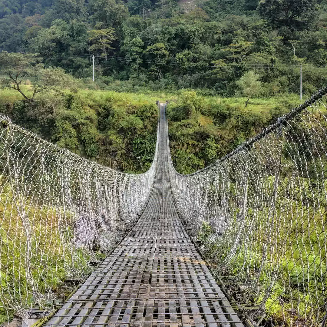
The suspension bridges that you see in the ACA (Annapurna Conservation Area) are made to connect one village to another. They are a very simple yet cost effective architectural design, though the local people wish to have more stronger bridges in future. They call it the 'infrastructural growth'.
Picture 2/10:
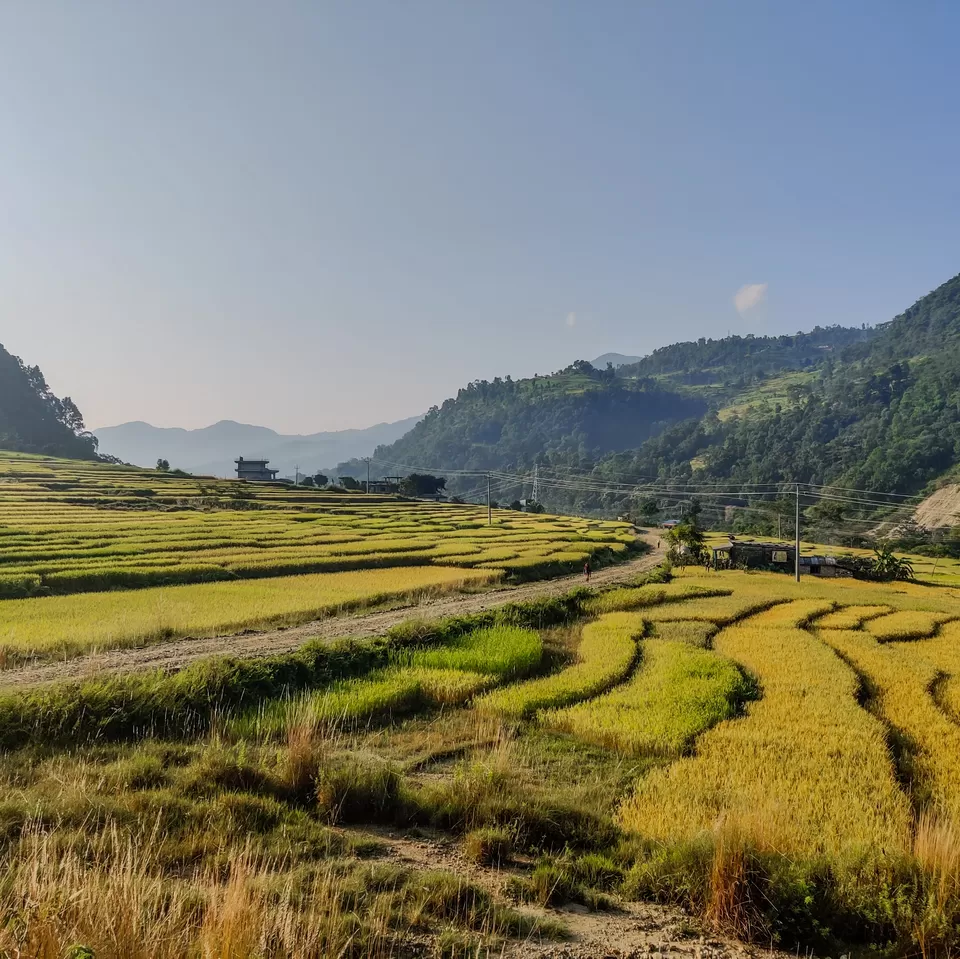
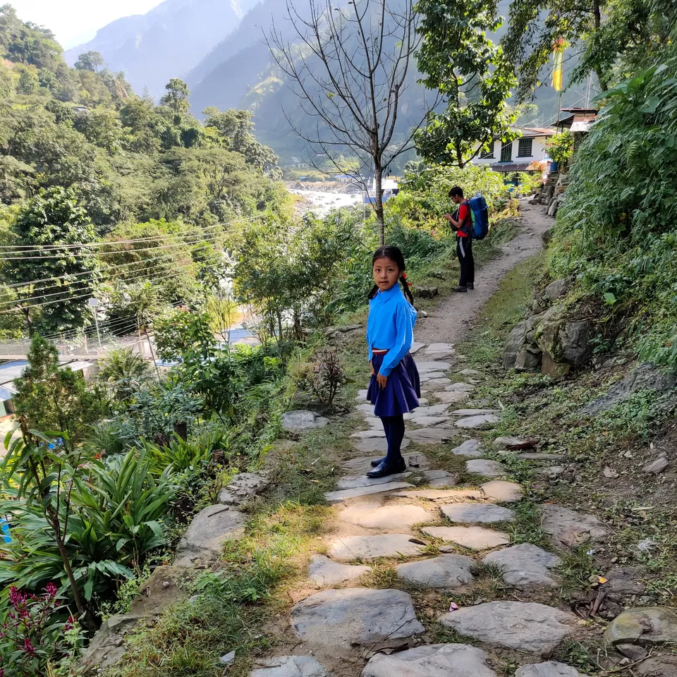
As you keep walking on the trail you will start getting away from the electricity poles, dust on the road and the vehicular noise. You will start seeing people working in their fields (as early as 08:00 am), you will see hens and other pet animals on the trail. The fields shine golden in the sunlight and the cold breeze keeps you fresh as you keep hiking. The route is a gradual ascend till Ngadi Khola. There are few natural water sources (if you are some one who can drink directly from the fresh water streams) on the trail. If you take the trail instead of the road, you can completely bypass the next village 'Khudi (790 meters)' and you could directly reach the third village named 'Bhulbhule (840 meters)'.
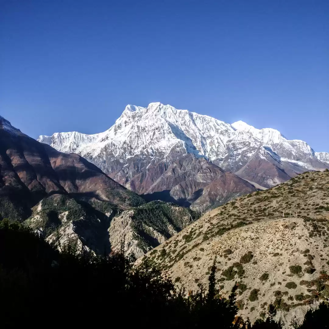
Picture 3/10
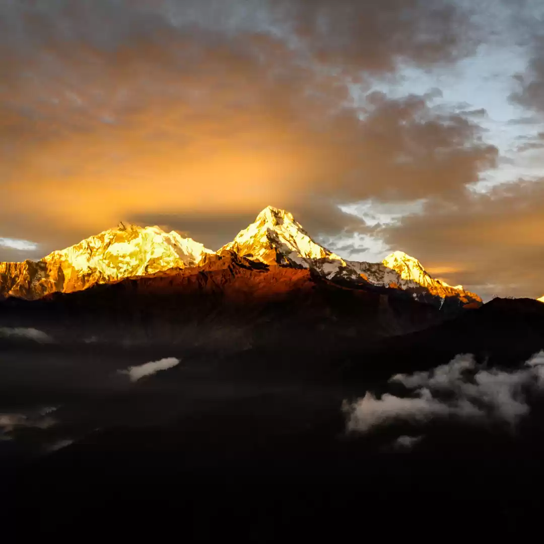
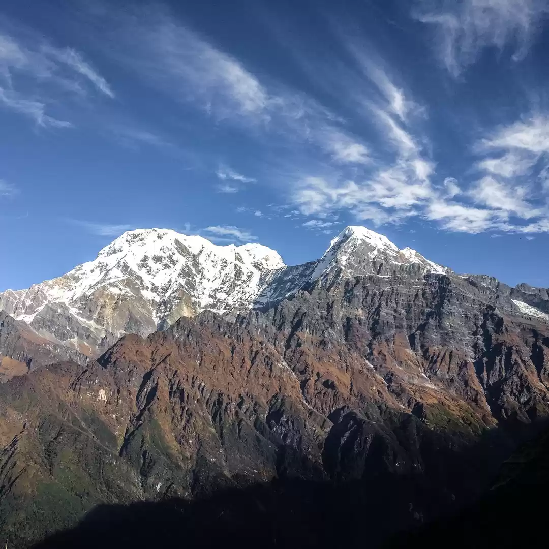
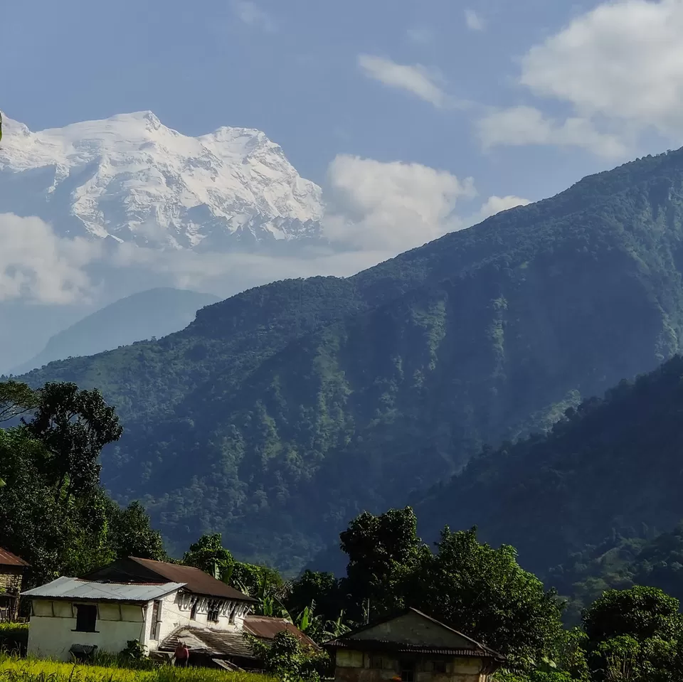
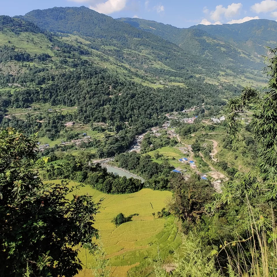
As the name suggests the 'Annapurna circuit' is a trek all around the Annapurna Massif and you could see the peaks of the massif after hiking for a couple of hours starting from Besisahar. Keep looking in the direction of the trail and you could see the peaks on a sunny day. The peaks are humongous and you would feel how lucky the local people are to wake up to such beautiful sights every morning.
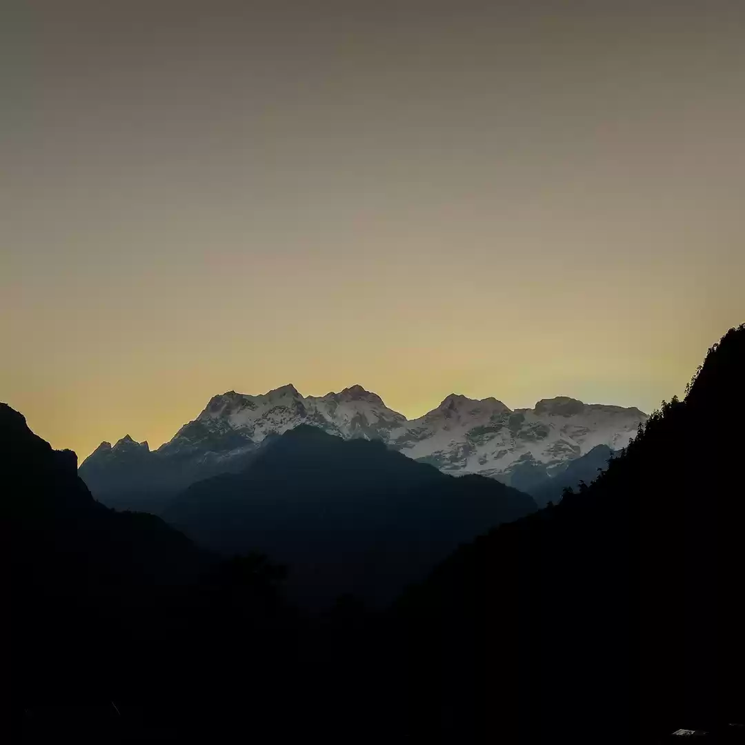
Picture 4/10
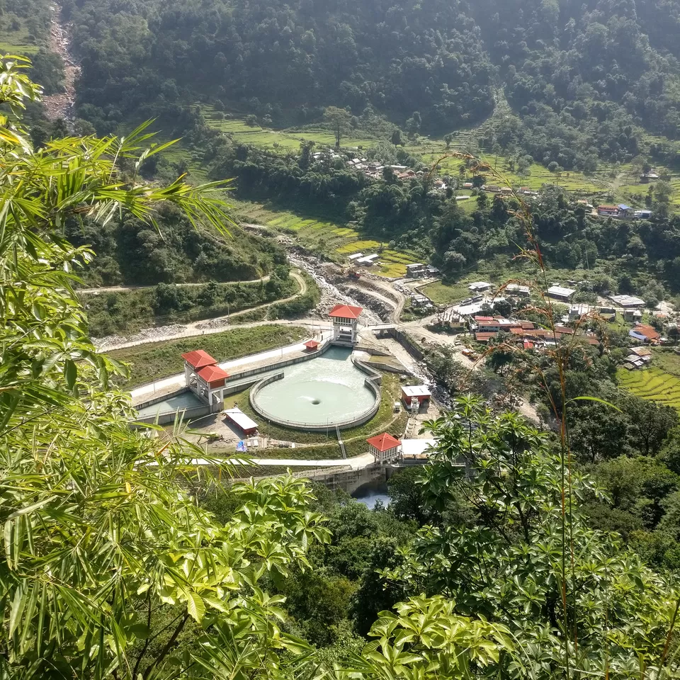
If you hike at a decent pace (3.5 km per hour) then you could reach Ngadi Khola (890 meters) in 3-4 hours from Besisahar. If you take the side trail then you could see the Hydro-electric plant from top. If you look close in the picture then you can see buses, and Ngadi Khola is the last point which is connected by bus on the circuit. There are many people who take a bus to Ngadi Khola from Besisahar and start their hike from here. I did not pass through the Ngadi khola village and instead took the road on the other side which was much peaceful and with almost no vehicular traffic.
Picture 5/10:
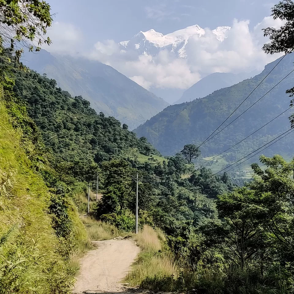
Let us talk about 'the road being built on the circuit'. There are few sections (25% of the trail that I covered on Day 01) where you will have no other option, you will have to walk on the road. But, if you start your day early (before 07:00 am) then you could avoid the vehicular noise, traffic and even dust. This is the the most important suggesstion that I could give you for the initial days on the circuit, i.e., to start your day early and after hiking for 1-2 hours, you could stop at any village, have your breakfast and then start again.
Picture 6/10:
Is walking from Besisahar to Ghermu worth it? Is it even a hike?
YES, if you are well-verse with Maps.me then there are very beautiful side trails where you will definitely feel that you are passing through forest and village trails. There are ascends and descends, there are open plateaus, small waterfalls, farmlands, suspension bridges. If you do the hike in two days then it will be a really good warm up and acclimatization for your body. I strongly feel that even after the road construction, the route from Besisahar to Ghermu is worth hiking.
Picture 7/10:
You will be passing through fairly wide open trails connecting one village with another. The only segment which is confusing is 3 Kms before the village called 'Bahundanda' (1310 meters) if you take the forest trail using Maps.me. But, you will definitely find local people there who would guide you through the trail. I have already submitted the fresh coordinates for the trail and I hope they will be updated soon.
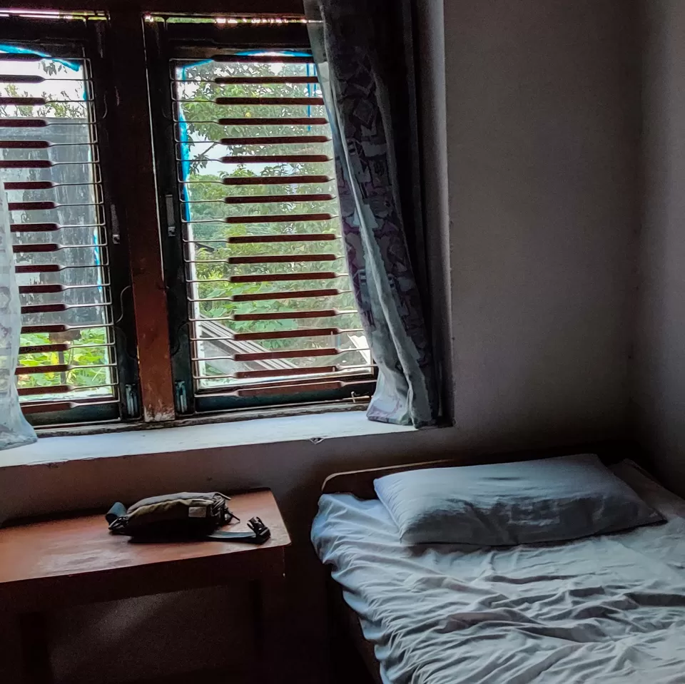
Picture 8/10"
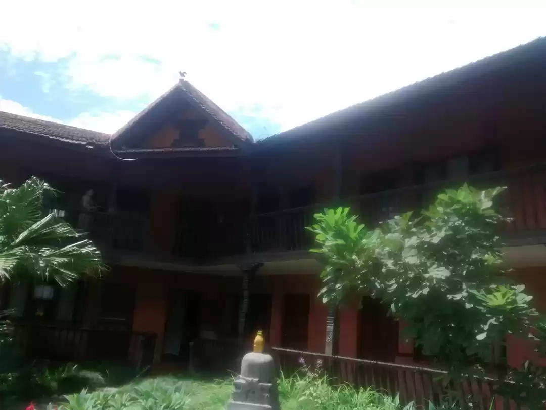
I stayed at the 'Peaceful Guest House' in the Ghermu village (1130 meters). The place didn't had a WiFi connection but the place was really peaceful and NOT at all luxurious. You can get a bed here for Rs 100/- (Nepali) if you promise the person to have dinner and breakfast. The room was adequate, had one charging point and the washroom were Indian style and clean. There are very few people who stop at a village like Ghermu and therefore, if you are someone who would want to do the Annapurna Circuit in budget then I would suggest you to stop a couple of villages before or after the more commercial and famous villages like Manang.
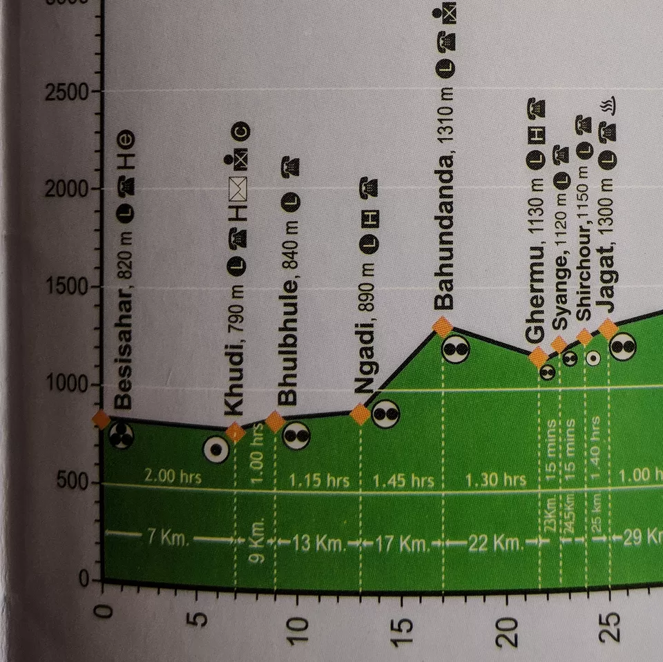
Picture 9/10:
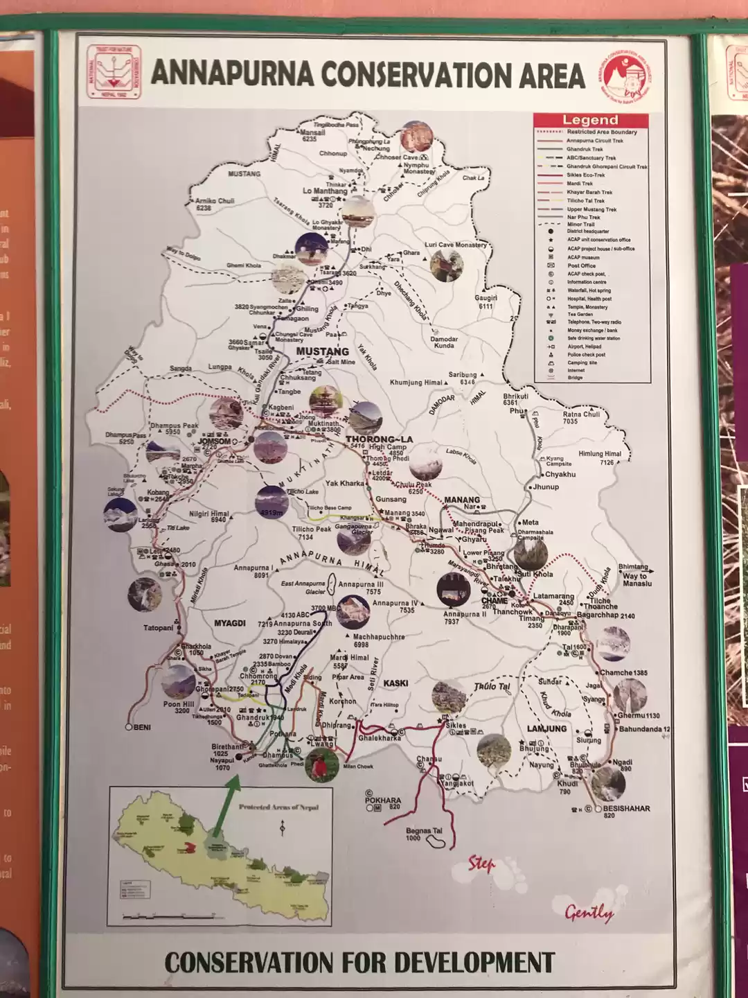
The altitude map of the Annapurna circuit. I will keep sharing the map in every post so that you could see both the HIKING DISTANCE (in Km) and the HIKING ALTITUDE (in meters). This map is available FREE of cost at almost all the ACAP and TIMS check posts. Don't forget to collect one for yourself.
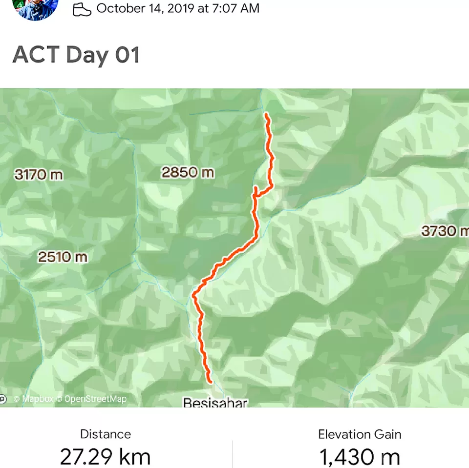
Picture 10/10:
The picture is from the hike recorded in the app called 'Strava'. You can even follow the same trail that I did by connecting on Strava where you could find me as 'Manvendr SIngh'. I covered a total distance of 27 kms with a gross altitude gain of 1400 meters. I was carrying a 8-10 kg rucksack with a load capacity of 60 litres. If you are a beginner then I would suggest you to cover the same distance in two days (that would mean hiking for 5-6 hours each day) so that you don't feel very tired after the hike.
I will be posting a total of 7 day trips on the Annapurna circuit trek. If you have any questions then feel free to ask me in the comments below or through a direct message. Further, I will be coming up with video logs and other informational videos on the YouTube channel named 'Creedaz' (link in bio)
See you in the next one.
Frequent Searches Leading To This Page:-
Annapurna circuit trek cost, annapurna circuit on your own cost, annapurna base camp trek itinerary, annapurna circuit group trek


' fill='%23359391'%3e %3cpath d='M46.1538462%2c43.5714286 L41.5%2c50 L36.8461538%2c43.5714286 L36.8670256%2c43.5714286 C36.3173077%2c42.7142857 36%2c41.6851429 36%2c40.5714286 C36%2c37.4854286 38.4535641%2c35 41.5%2c35 C44.5464359%2c35 47%2c37.4854286 47%2c40.5714286 C47%2c41.6851429 46.6826923%2c42.7142857 46.1329744%2c43.5714286 L46.1538462%2c43.5714286 Z M41.4294872%2c39 C40.6150641%2c39 39.9487179%2c39.675 39.9487179%2c40.5 C39.9487179%2c41.325 40.6150641%2c42 41.4294872%2c42 C42.2439103%2c42 42.9102564%2c41.325 42.9102564%2c40.5 C42.9102564%2c39.675 42.2439103%2c39 41.4294872%2c39 L41.4294872%2c39 Z' id='Location-white'%3e%3c/path%3e %3c/g%3e %3c/svg%3e)