
Forts : Dategad, Gunvantgad.
Location: Patan, Bhamnoli Range.
How to reach :To reach Karad one can board a ST bus from Pune / Mumbai and then take another ST bus from Karad to Patan. Nearest Railway Station is Karad.
Food Availability : Food and water facility isn't available at both the fort make sure you carry ample food & water with you, else there are hotels at Patan.
Accommodation : You can pitch a tent, else not possible.
Grade : Very Easy (10-15 mins)
Base Village : Tolewadi
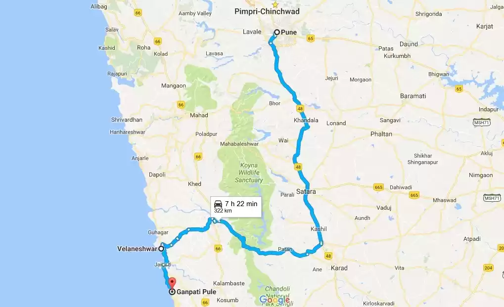
Route : Pune ➠ Satara ➠ Umbraj ➠ Patan ➠ Tolewadi
History : The fort dates back its existence since the Bahamani Kingdom. It was under the control of Adilshahi, after the death of Afzal Khan the fort was brought under Maratha dynasty by Chatrapati Shivaji Maharaj. Due to its architectural beauty it is also called as Sunder-gad
Grade : Easy (20-30 mins)
Base Village : Morgiri
Route : Pune ➠ Satara ➠ Umbraj ➠ Patan ➠Nerale ➠ Morgiri
History : Not much known about this fort but there are sources which point out that this fort was been used as a watch tower to keep an eye on the Karad-Chiplun trade route and the surrounding forts.
The Journey :
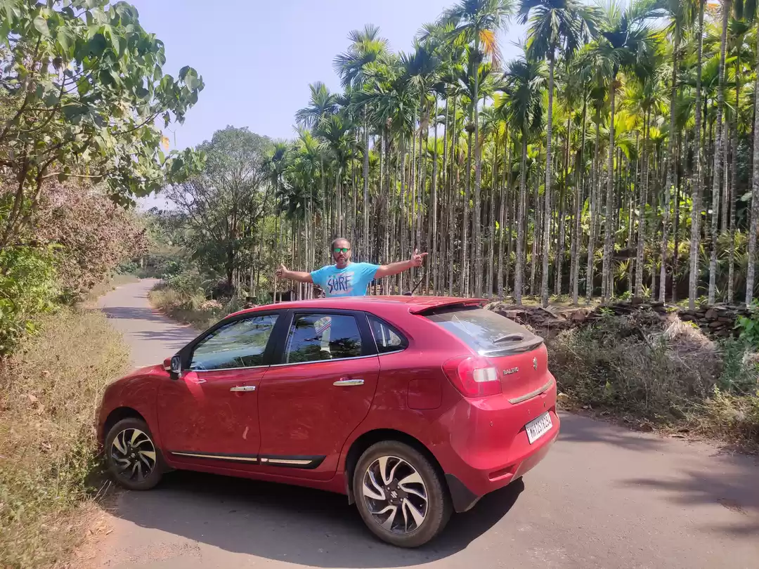
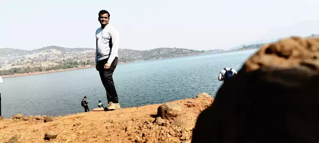
The Plan was to explore the the forts in Satara region, so we shortlisted Dategad and Gunvantgad for our one day adventure. Me and my forever trek companion Mandar, we left Pune on bike a day before the trek and reached Satara and stayed there for the night.
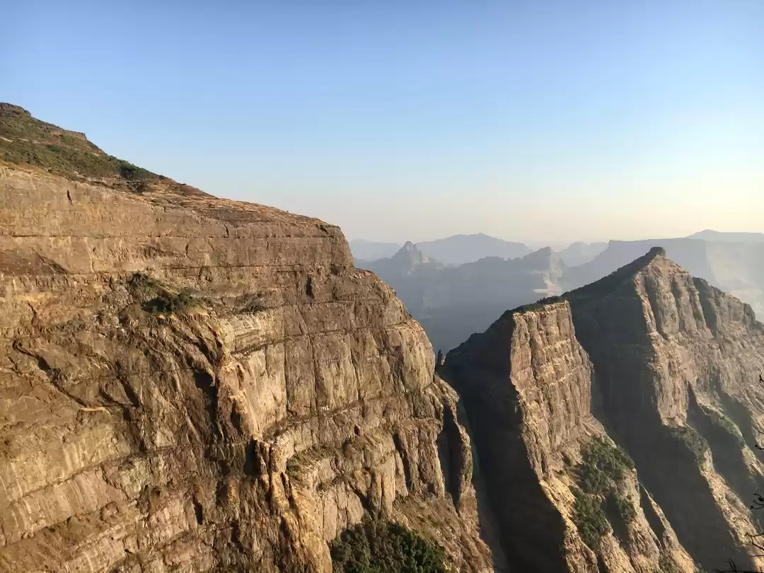
The next day we left Satara by 7 o' clock chasing a mind refreshing sunrise amidst the bone chilling breeze. We reached Patan by 10 o' clock bit a longer than expected, thanks to the cup of tea's we had en-route. The sun had now started turning the table, our 1st Destination for the day was Dategad aka Sunder-gad. The base village is Tolewadi, to reach here we took the route passing through Pirbaba Dargah, climbed up the ghat to reached Tolewadi from where the trek starts. This fort has some meticulously crafted rock cut structures, the Step well being the major attraction here. The well is filled with water through out the year which it receives from Koyna river. It was the coolest spot than anywhere else on fort so we took a pit-stop here had some snacks and then explored the remaining fort.


After spending a lot of time here exploring the other remnants of fort we clung our seats back on the bike and headed towards Patan, to our next destination Gunvantgad.
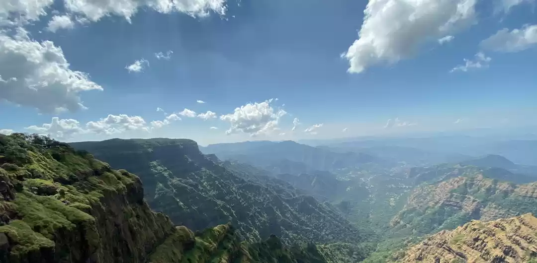
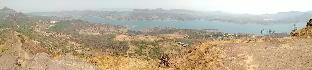
Gunwantgad popularly known as Morgiri cha killa locally is located 7 kms from Patan. Head towards Patan-Chiplun road and after 3 kms take a left towards Nerele village and then Morgiri. It was hectic journey though short, more than half the road was under renovation. Reaching atop takes hardly 20 mins but beware of trail as it isn't well marked. Nothing to see on top but after all the view for every window of the house is different. There is a cannon and some other remnants in the temple at the base village which were excavated from the fort.


We started descending the fort the sun was shining with full vigor and by the time we were at the base we were completely drained and dehydrated so the 1st thought that struck us was Misal hanuya atta and we headed towards Patan to refuel ourselves and had some tasty Misal.
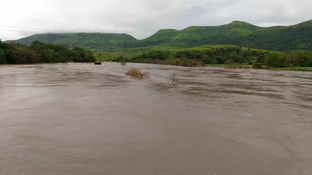
On our way to Satara I had read about an Ancient Step well in Karad city which is few kms from Patan, So how we would have left it unexplored. Riding through the crowded city lanes we reached to our destination the ' Nagtya Ravlya chi Vihir ' a humongous step well located near the Preeti Sangam, the confluence of Koyna and Krishna river.

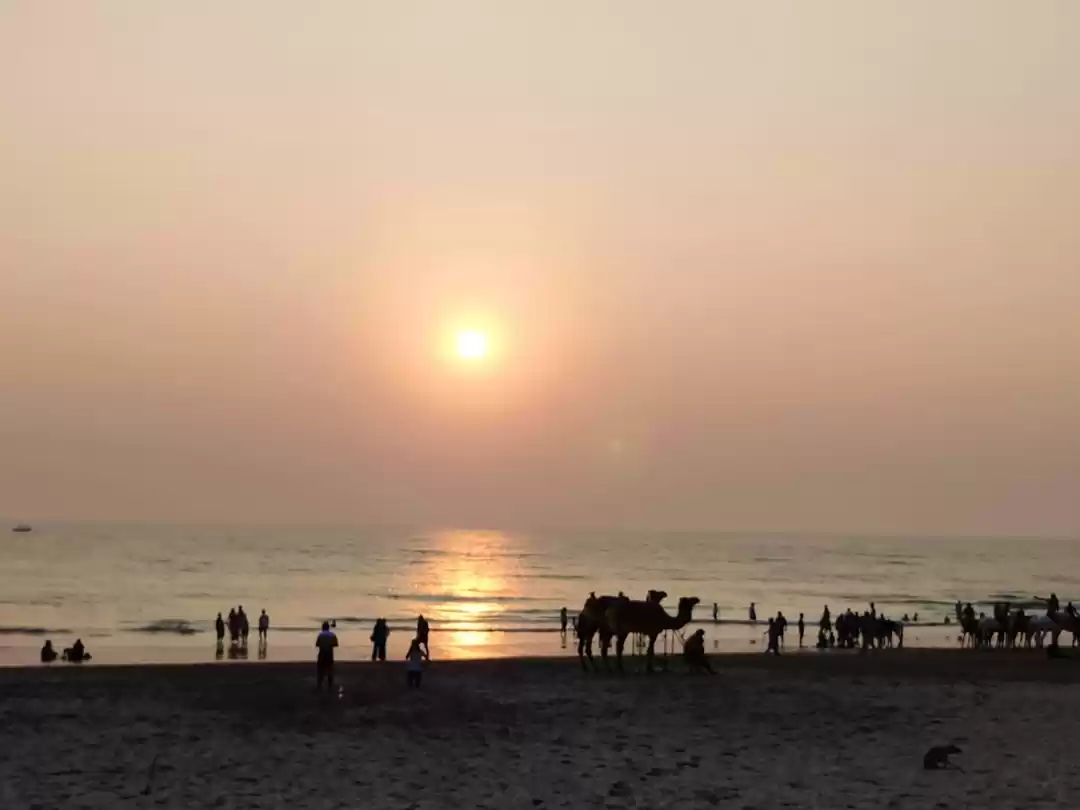
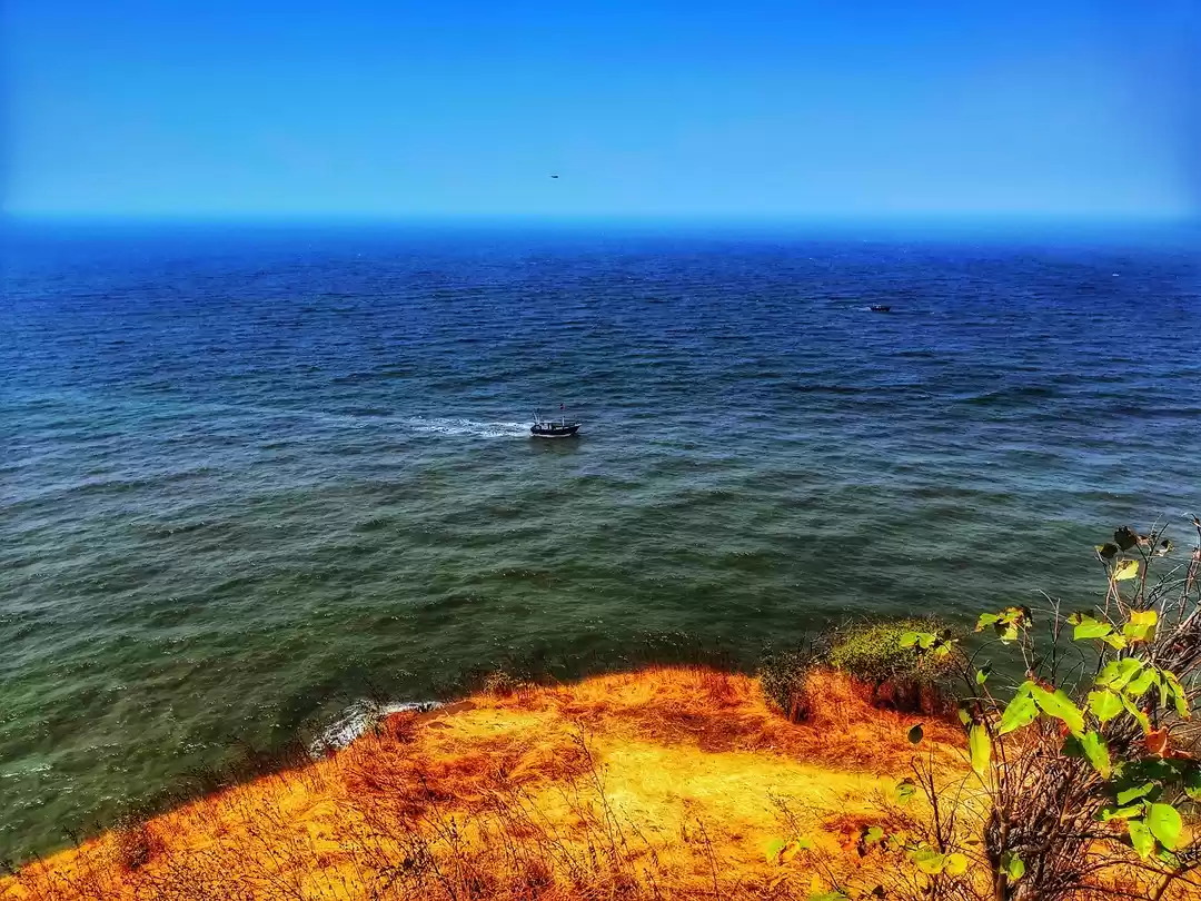
At last we rested our backs at the Preeti Sangan besides the river bank enjoying a scenic sunset after a hectic day. Though the journey had ended the adventure wasn't and with a trunk full of happiness and experiences we returned back to Satara had dinner and then back to Pune the next day.
That's all for the day, " Hasta la Vista " !!

' fill='%23359391'%3e %3cpath d='M46.1538462%2c43.5714286 L41.5%2c50 L36.8461538%2c43.5714286 L36.8670256%2c43.5714286 C36.3173077%2c42.7142857 36%2c41.6851429 36%2c40.5714286 C36%2c37.4854286 38.4535641%2c35 41.5%2c35 C44.5464359%2c35 47%2c37.4854286 47%2c40.5714286 C47%2c41.6851429 46.6826923%2c42.7142857 46.1329744%2c43.5714286 L46.1538462%2c43.5714286 Z M41.4294872%2c39 C40.6150641%2c39 39.9487179%2c39.675 39.9487179%2c40.5 C39.9487179%2c41.325 40.6150641%2c42 41.4294872%2c42 C42.2439103%2c42 42.9102564%2c41.325 42.9102564%2c40.5 C42.9102564%2c39.675 42.2439103%2c39 41.4294872%2c39 L41.4294872%2c39 Z' id='Location-white'%3e%3c/path%3e %3c/g%3e %3c/svg%3e)