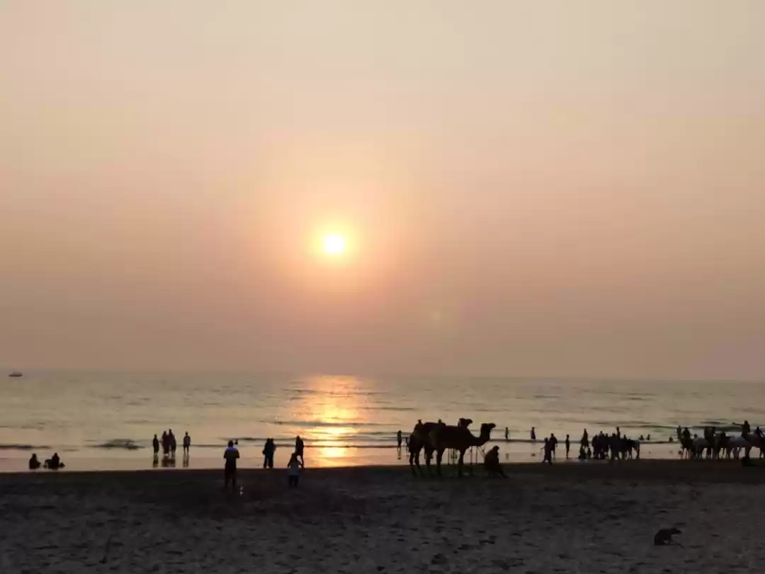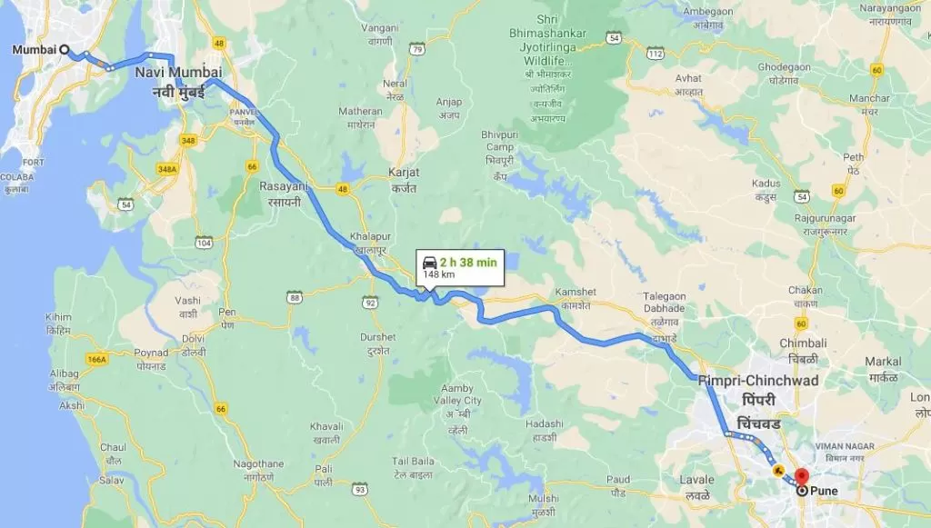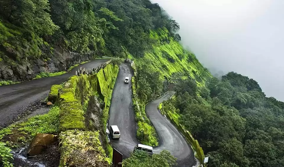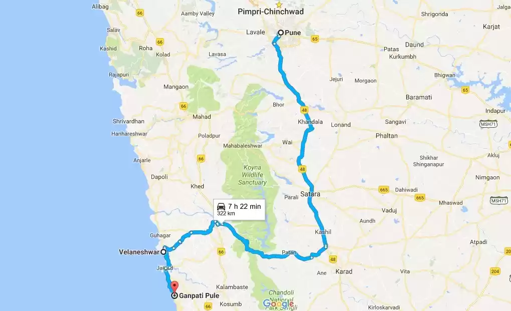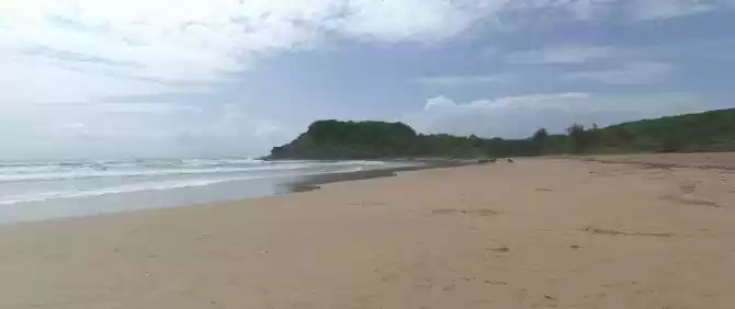
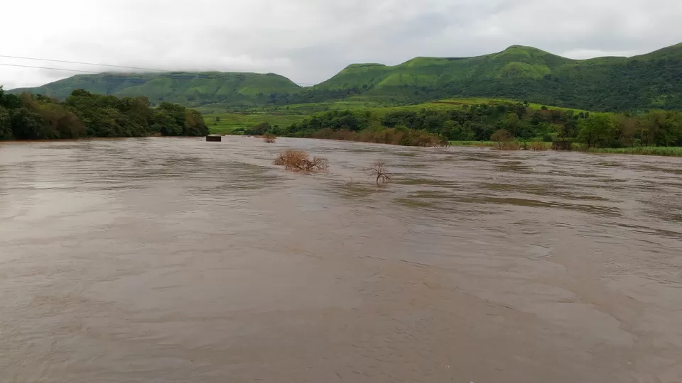
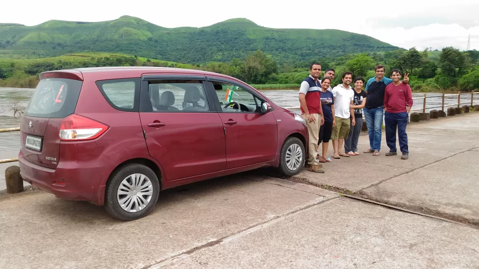
We had initially planned this range in summers but due to last moment cancellations of some of our group member, we postponed the plan. At last we were able to execute same on 24-25 Sept 2015. According to our plan, we left Thane on Friday 23rd Sept Night from Thane in one of our group member's Maruti Ertiga. We were 8 in total, 7 from Thane and Navi Mumbai, One group member was joining us from Pune. As Ertiga was already full in capacity with 7 people, we asked the guy coming from Pune to join us at Satara, for which he readily agreed. After last pick up at Kalamboli, Panvel our car started cruising on Mum Pune expressway at around 12:30 AM of 24th Sept. Suddenly it started raining heavily and the visibility was low, Avinash, who was at the wheel, was carefully driving through the downpour. Further at the Ghat section of the expressway, we lost two and half hours in traffic, we were almost immobile for more than one hour. Overall, the night didn't went well as planned, we were suppose to reach Satara around 4 - 4:30 AM, but till that time, we didn't even reach Pune. Anyways, we always keep some contingencies while planning, which helped that day. Around 6:30 Am, we reached Satara bus stand, where Nilesh met us, he had reached Satara at 2:30 AM and had a good sleep, while we were all sleep deprived. Completing our morning chores at the bus stand, we started towards Patan, our first target was Gunwantgad (Morgiri fort), which was around 3-4 kms from Patan. For Patan, we need to take right from Umbraj on Pune Bangalore Highway, further we join Karad Chiplun state highway. At Patan, we had a awesome breakfast at Hotel Radhika, just opposite to the bus stand. Finally, at 9 AM we started for Gunwantgad, for which you have to ply toward Chiplun direction after the Patan Bus stand. Within 1.5 kms, you will see a Left going towards Morgiri village. Immediately after the left, you come across a long bridge under which mighty Koyna river flows, originating from the Koyna Dam near Chiplun. The scenery around the bridge was breathtaking and we couldn't help ourselves to stop and click some pics.
Further you have to ask directions to Morgiri village which is base of Gunwantgad. You can park your vehicle near the temple at the base.
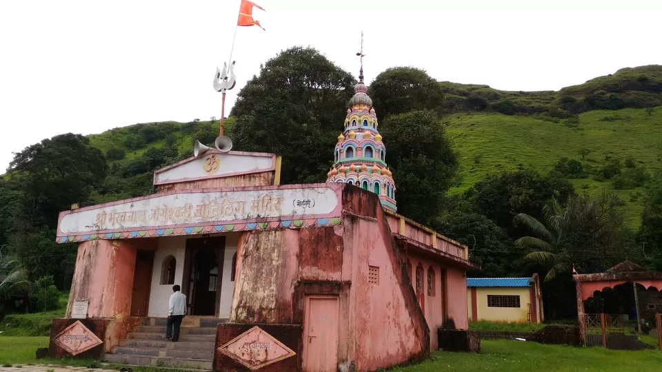
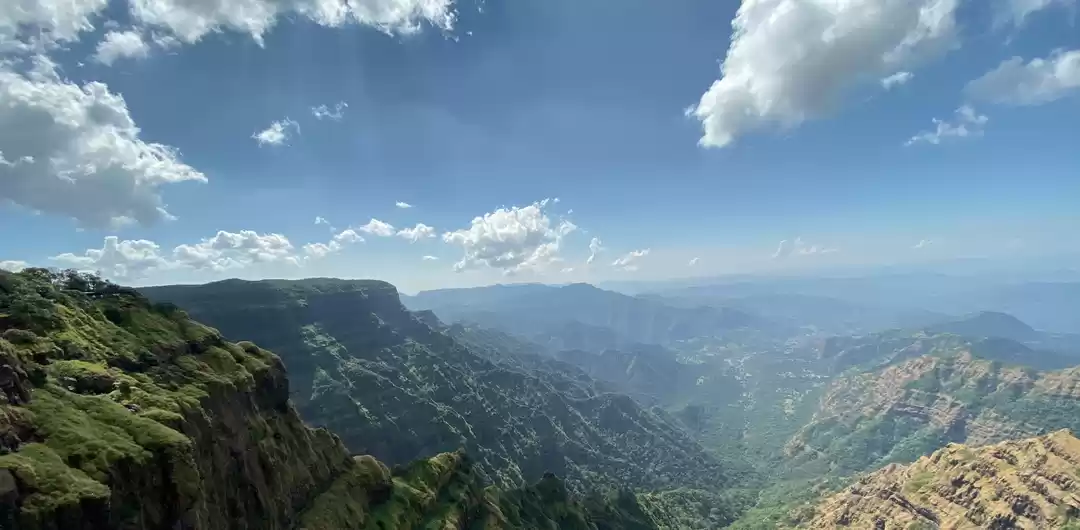
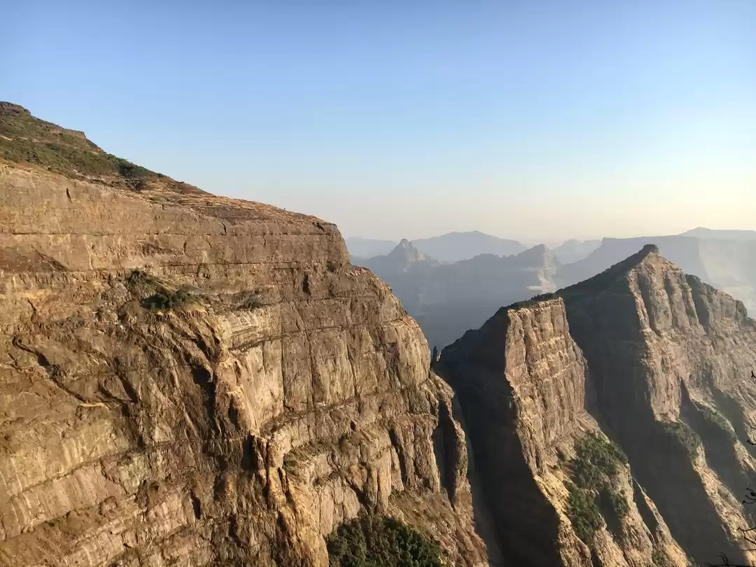
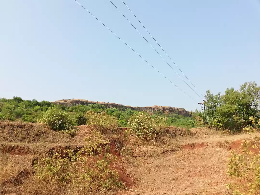
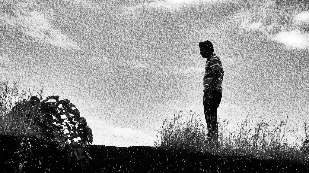
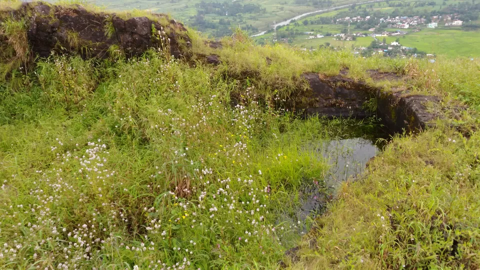
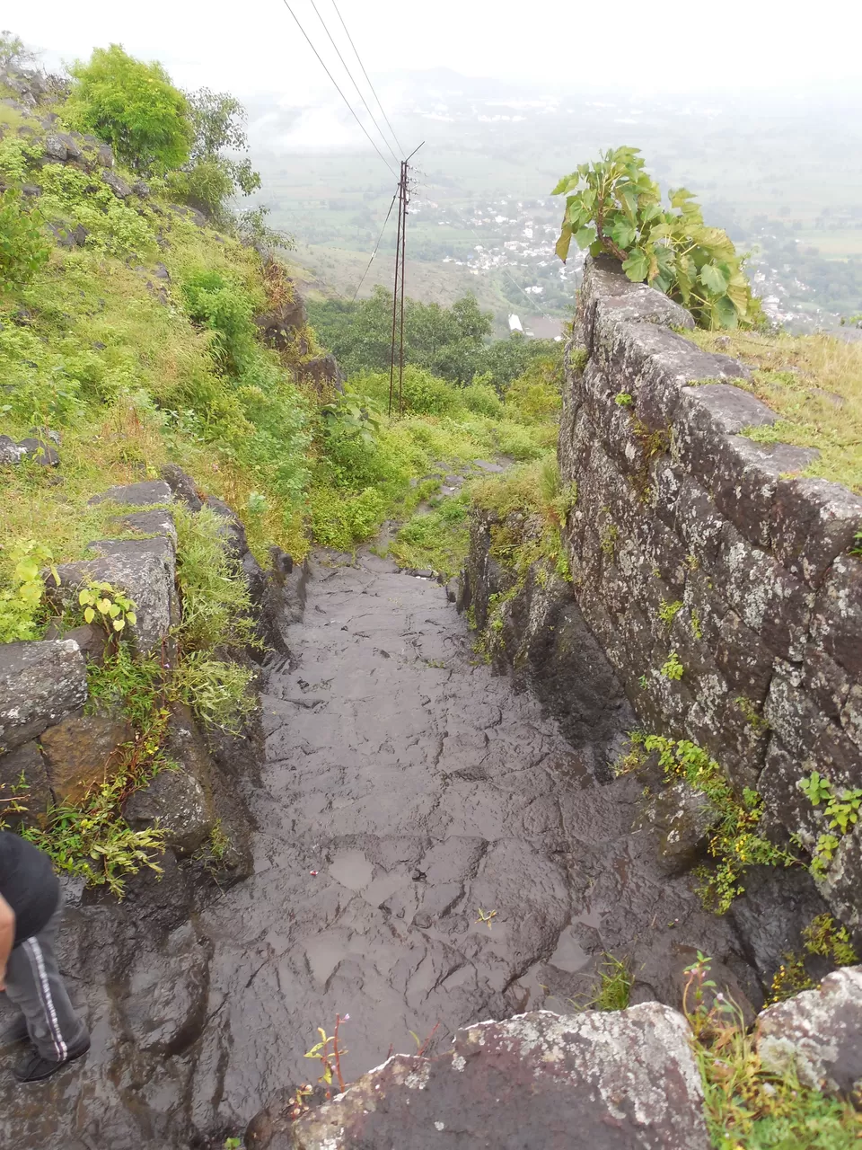
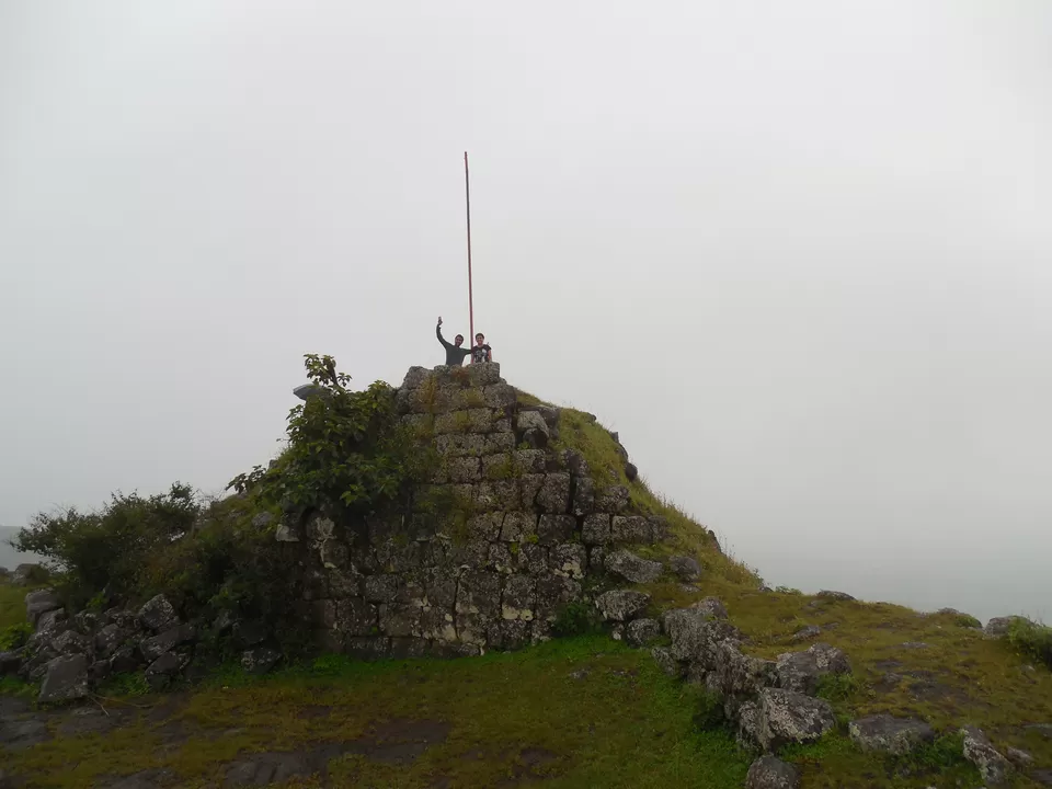
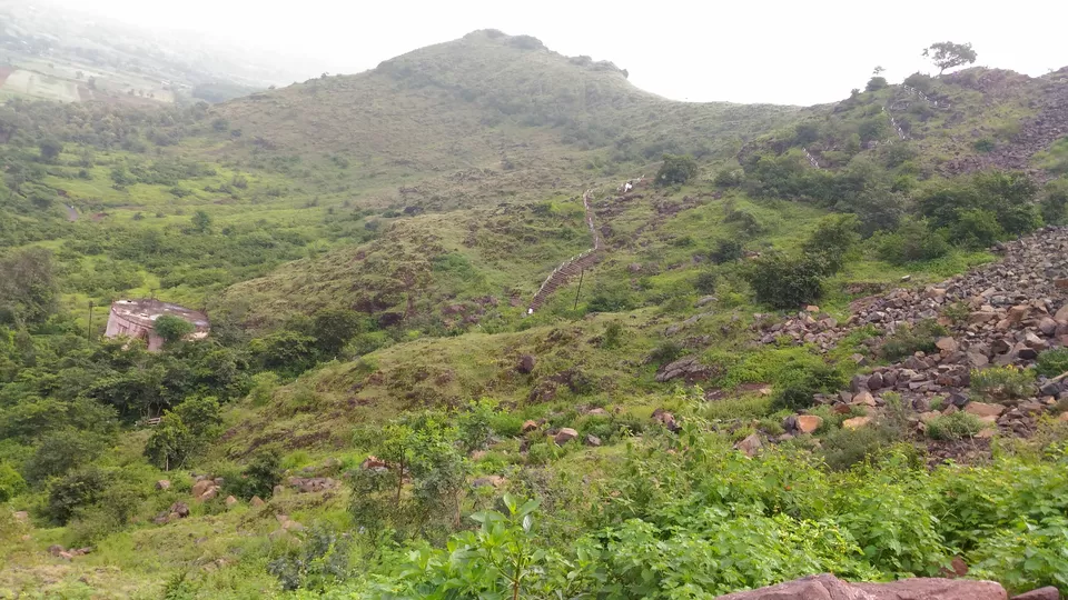
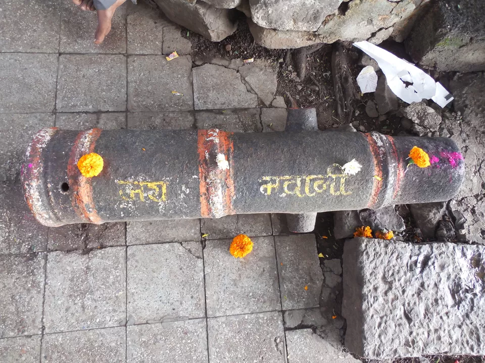
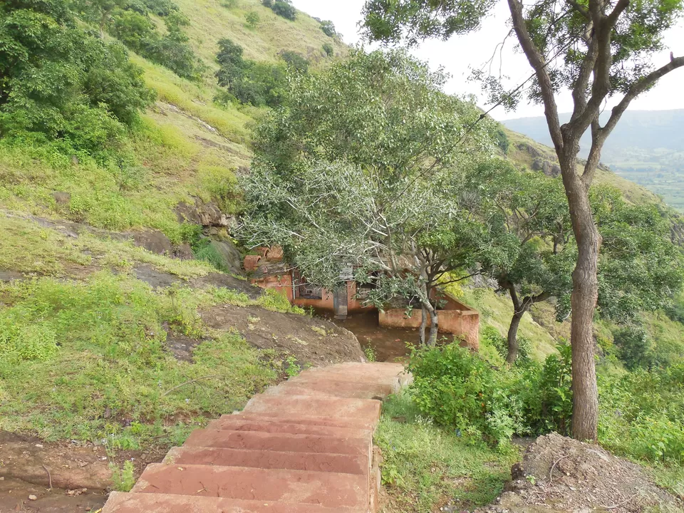
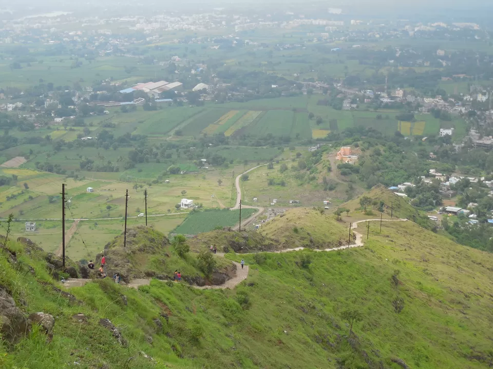
You can reach the fort top in half n hour, climbing steep on the face of the fort. We lost more than 30-40 mins searching the route to the top of the fort, as after rainy season all routes were covered with greenery. So before climbing it is better to ask any villager about the exact location of the route to the top. It is exactly in the middle of the fort wall, when we see up from the morgiri village. Finally, we were up on the fort which was fully covered with long grass and thorny bushes. There is not much to see on the fort except 2-3 water tanks and some damaged structures. Mostly, this fort was used for vigilance purpose, as you can see whole area of Koyna river side from the top.
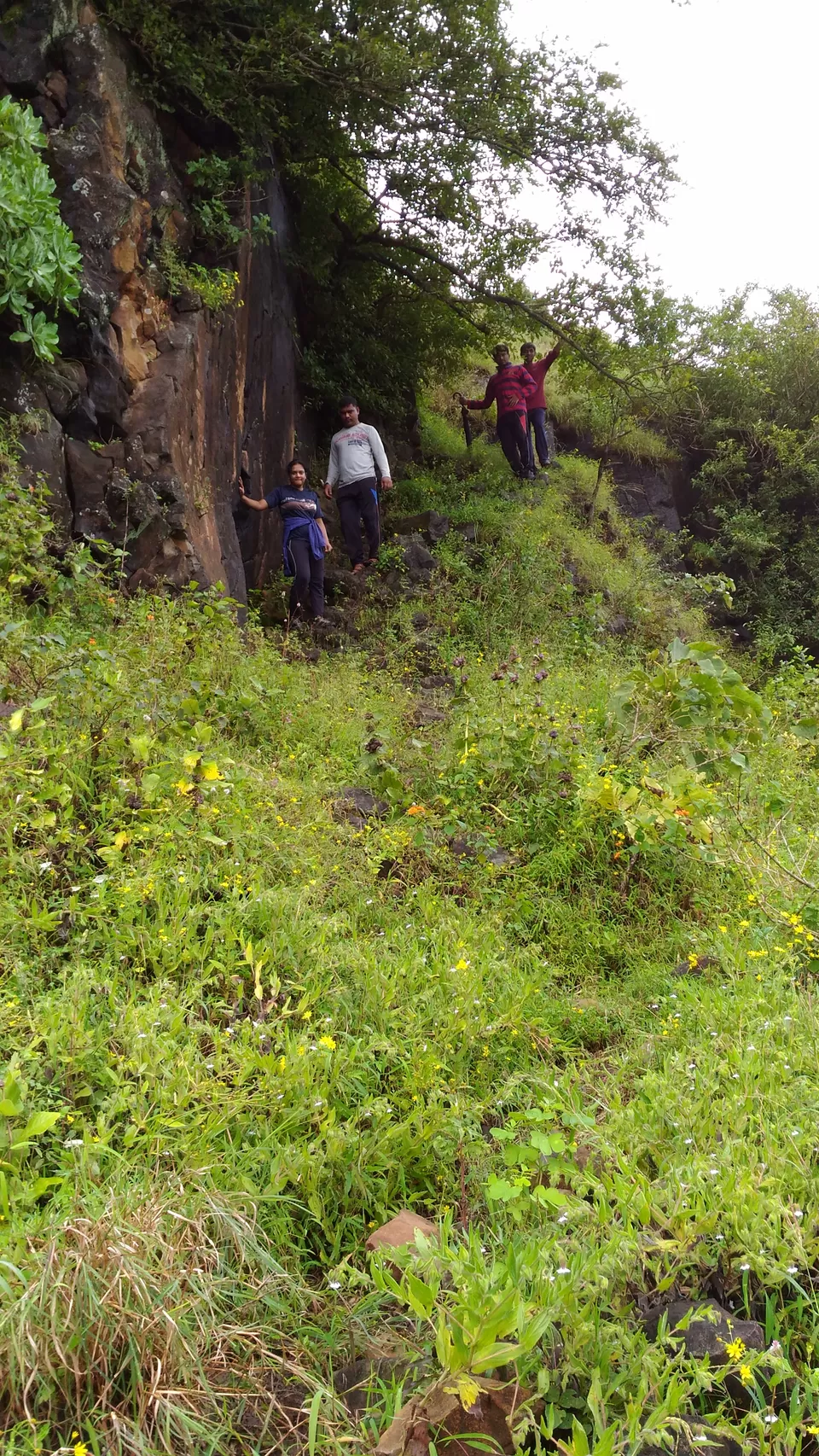
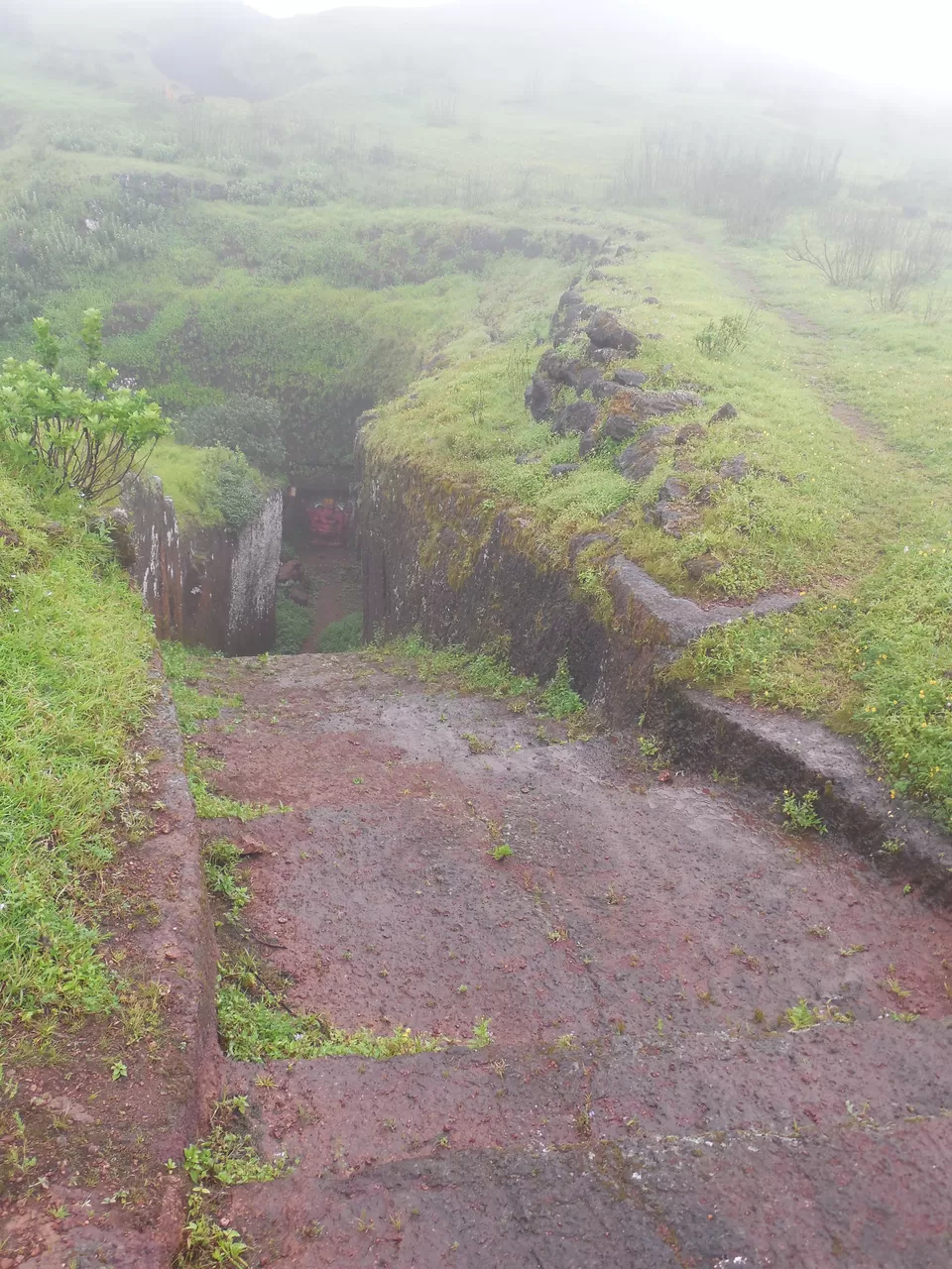
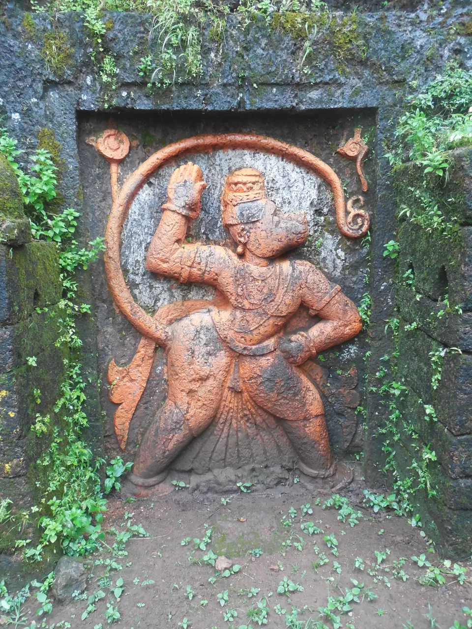
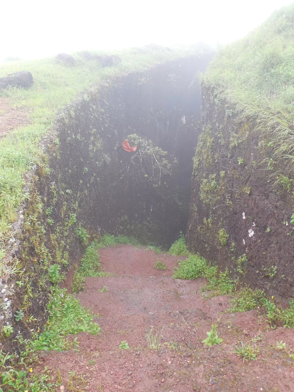
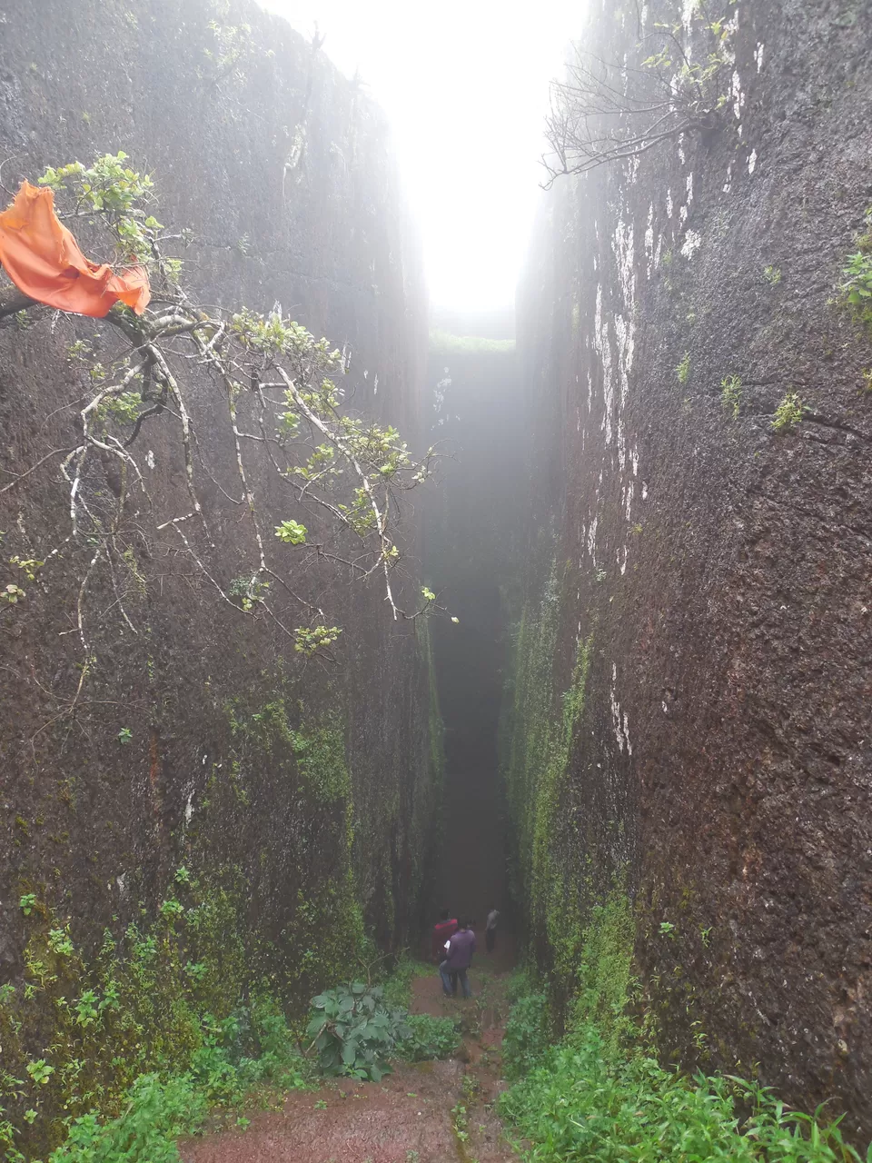
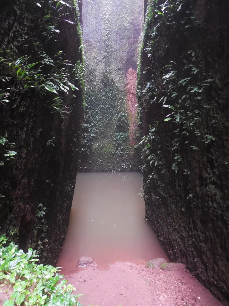
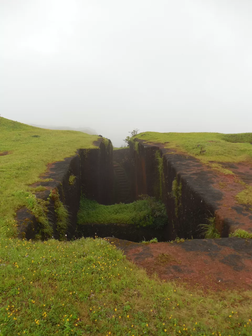
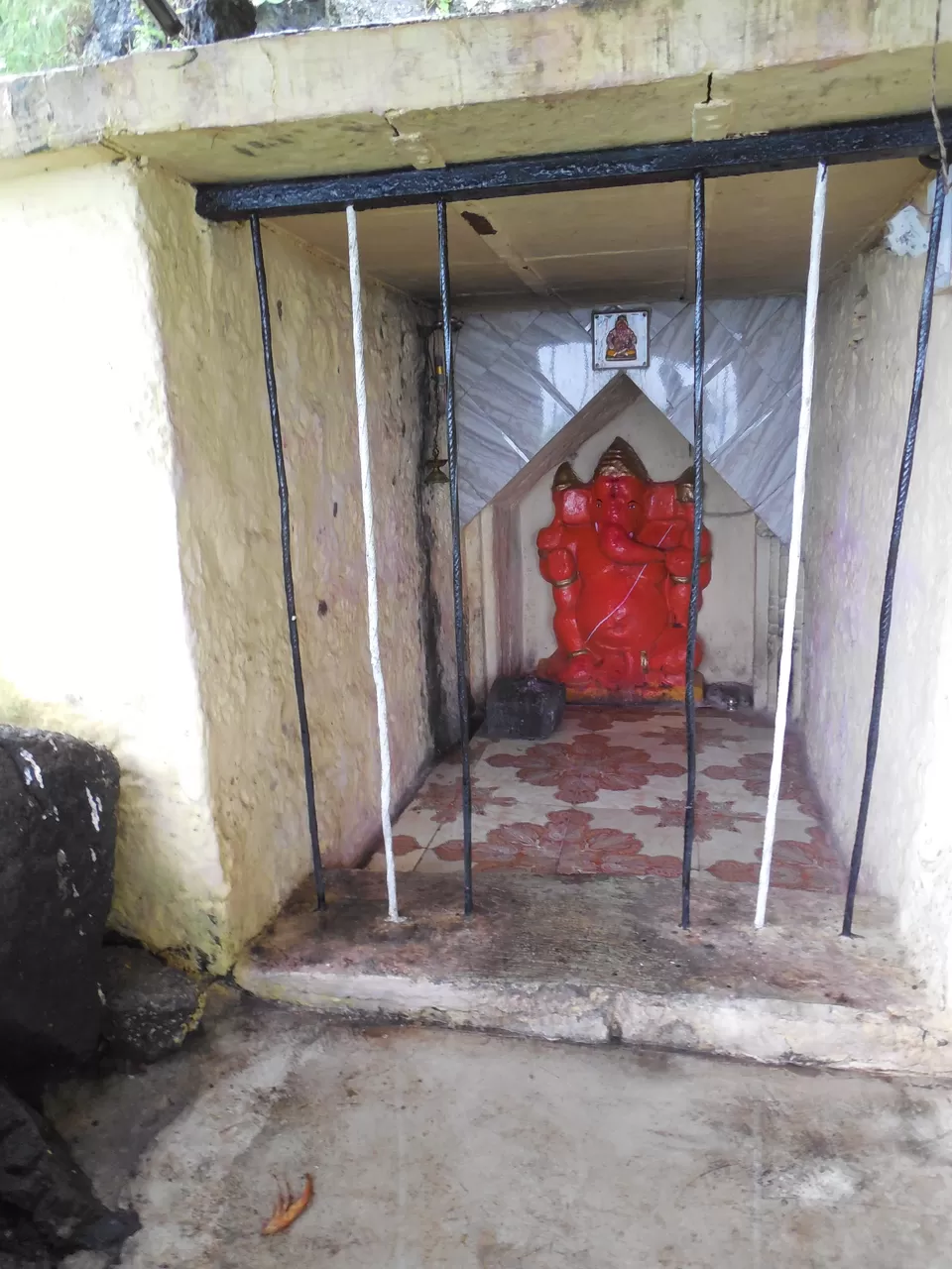
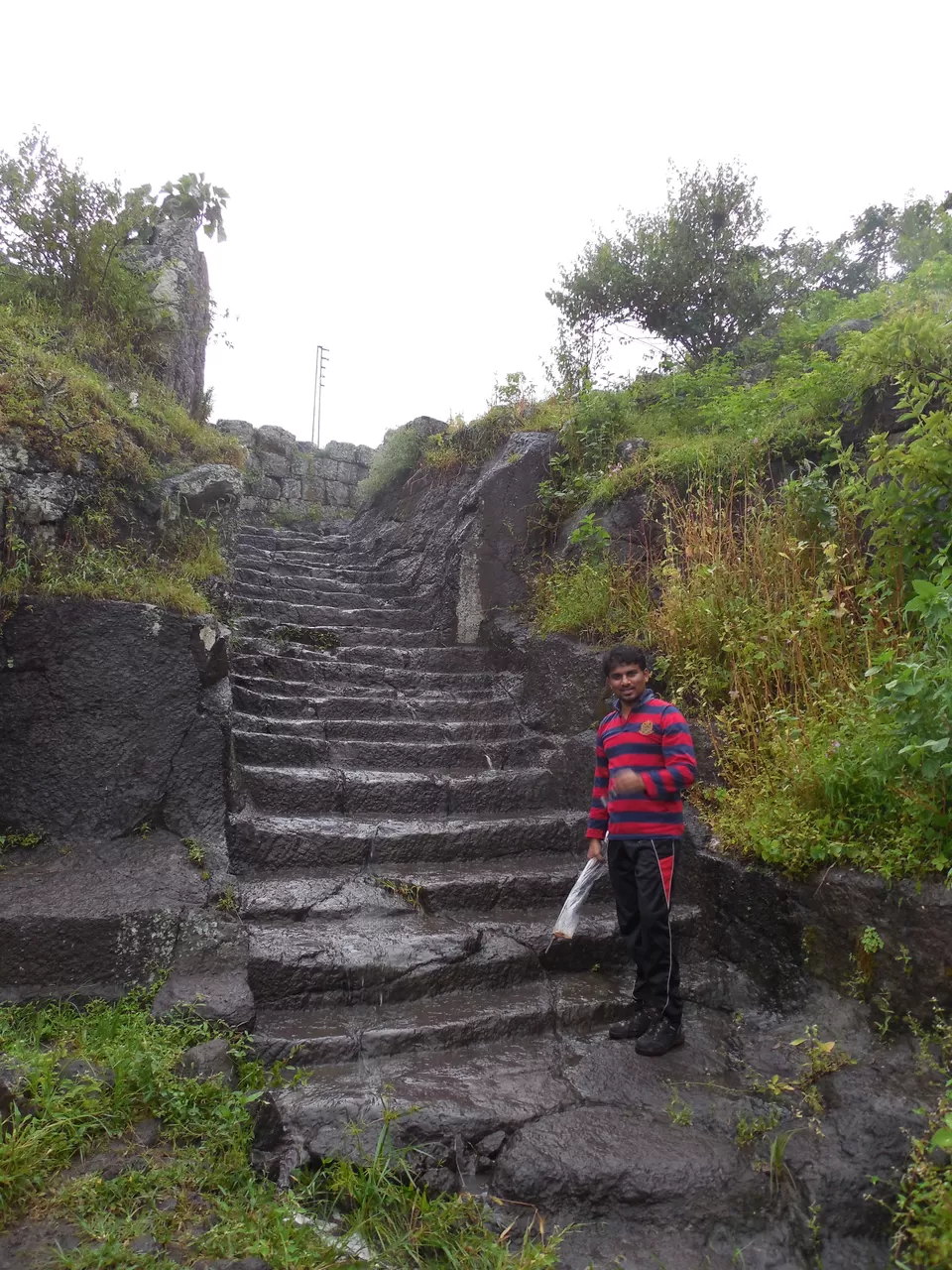
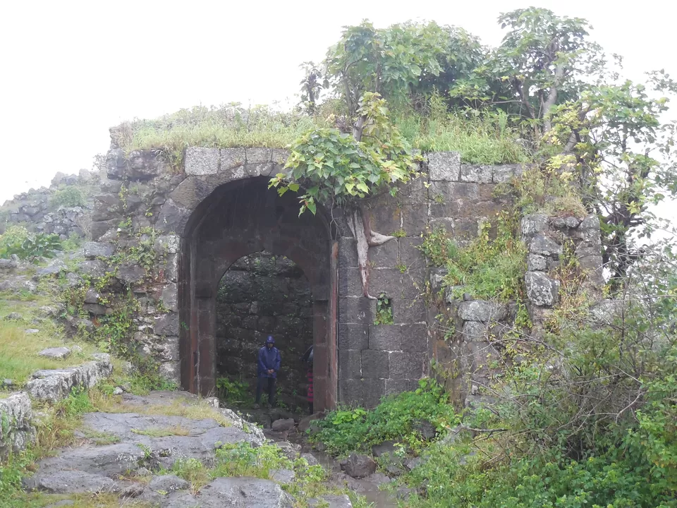
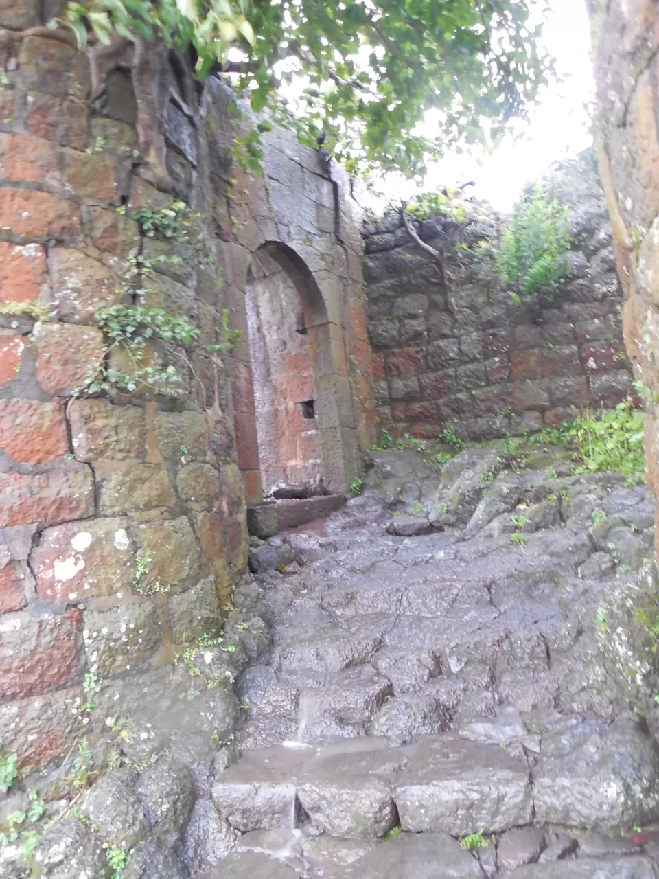
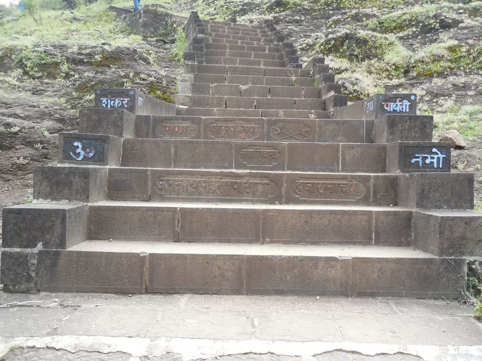
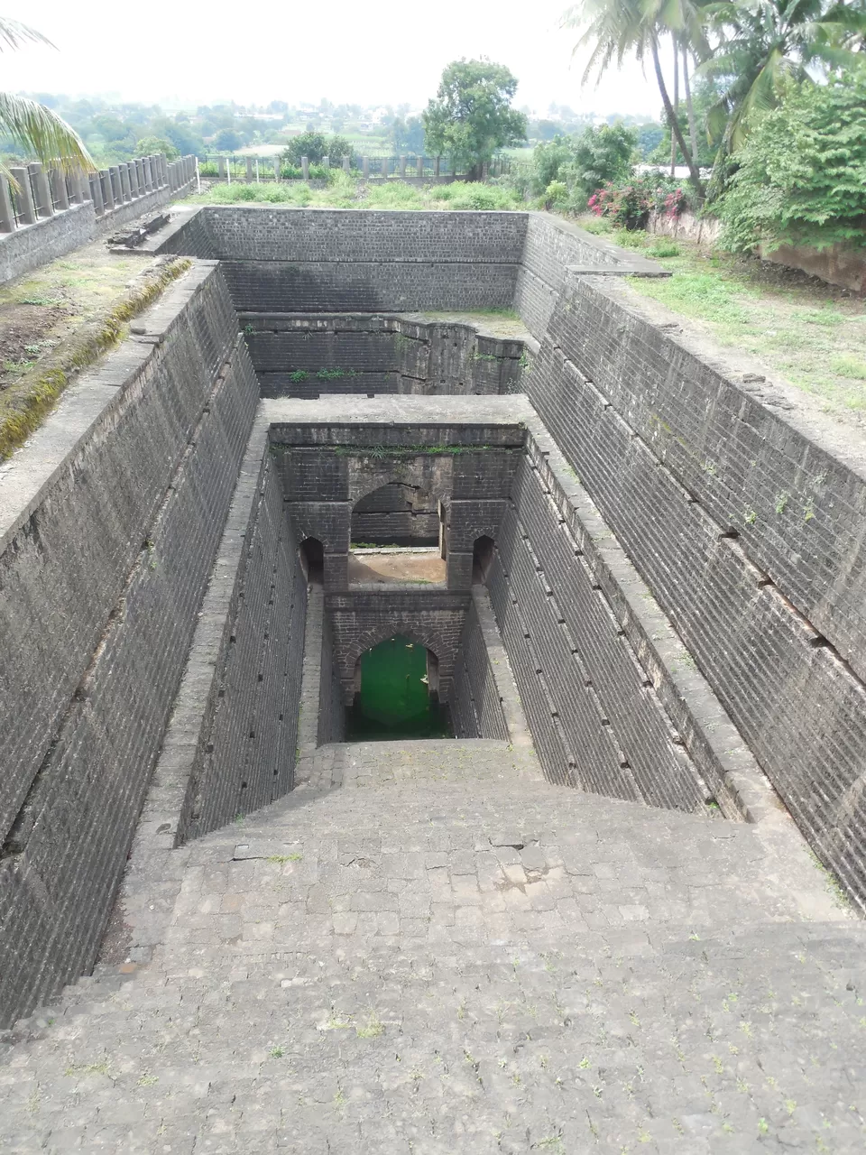
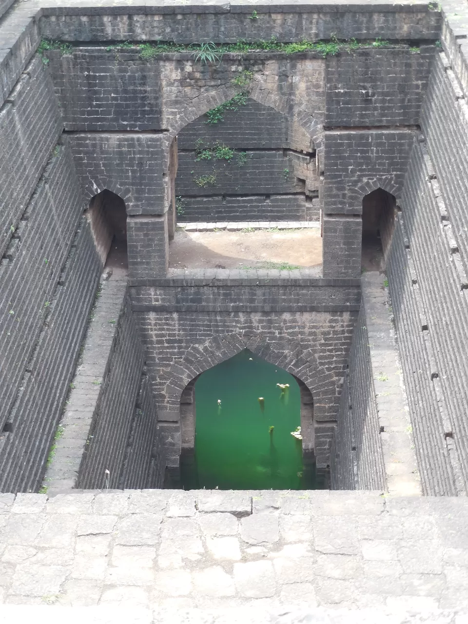
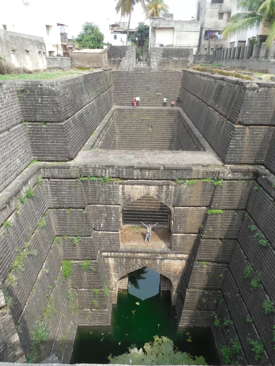
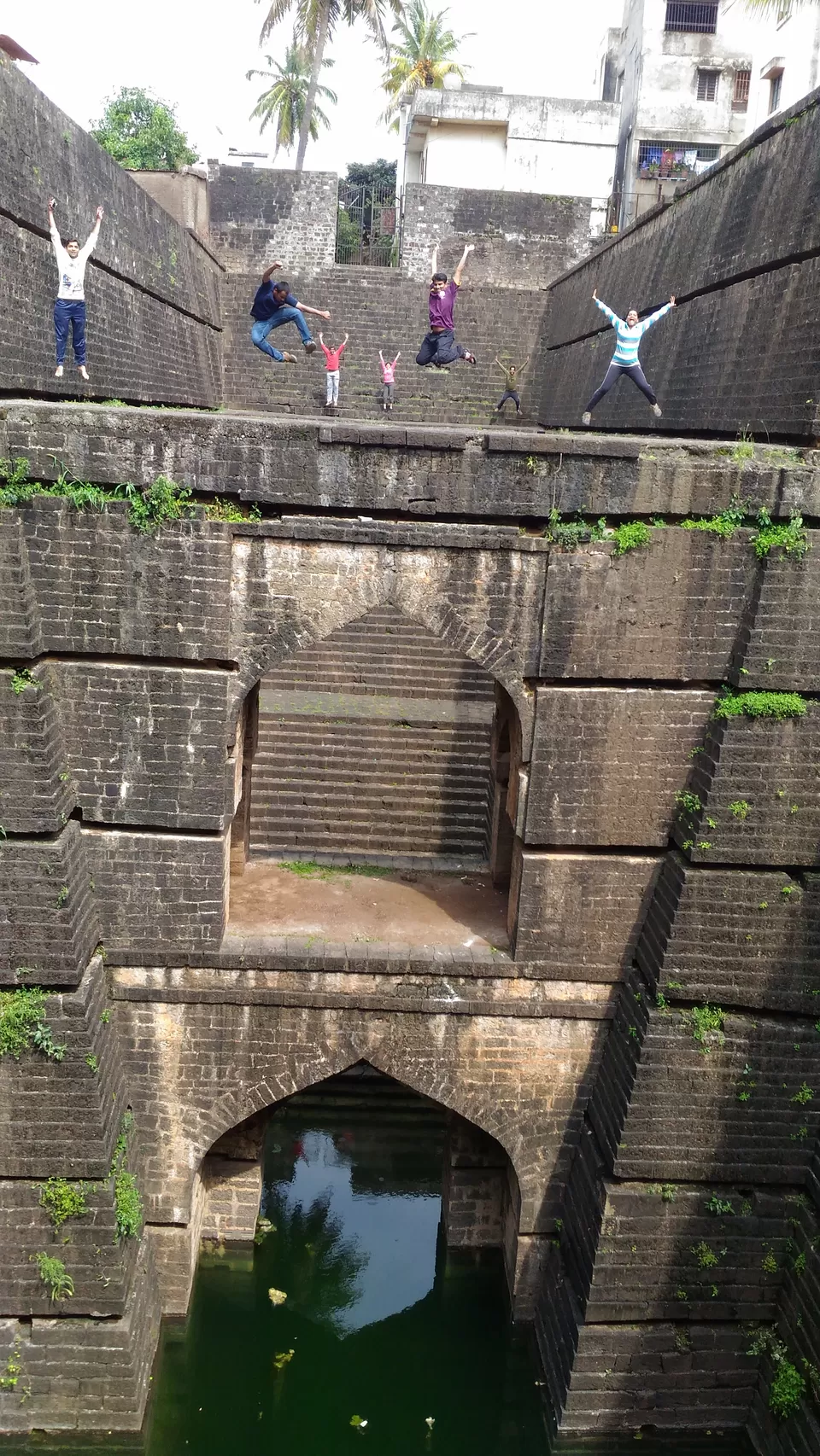
As there was nothing much to explore, we got down to the village by 11 AM, our next target was Dategad aka Sundargad. For Dategad, you have to again come to Patan, just before the bus stand, there is a left to Tolewadi, which is base village of Dategad (there is board showing directions). 17 kms of uphill road takes you to base of Dategad aka Sundargad. Enroute there are lot of hills which resemble to a fort, don't get confused, drive for around 15 kms and then take instructions from the local village at every 500 mtr. Just before the village Ghera Sundargad, there is kuccha road going towards left. Road is motorable and takes you to the base of the fort, where there are no human settlements. The climb to the fort starts from the east side on the longer arm of the fort, it will take around 15-20 mins to reach at the top of the fort. There are lot of things to explore on Dategad aka Sundargad, especially the rock cut steps, idol of Lord Hanuman and Lord Ganesh, public bath structure. But the cynosure of all is the 100 ft well dug in the hard rock and the steps which go right to the bottom the well. It is better to explain visually, following are the pics:-


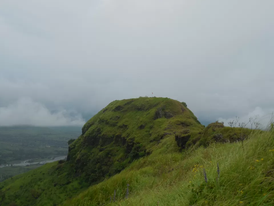
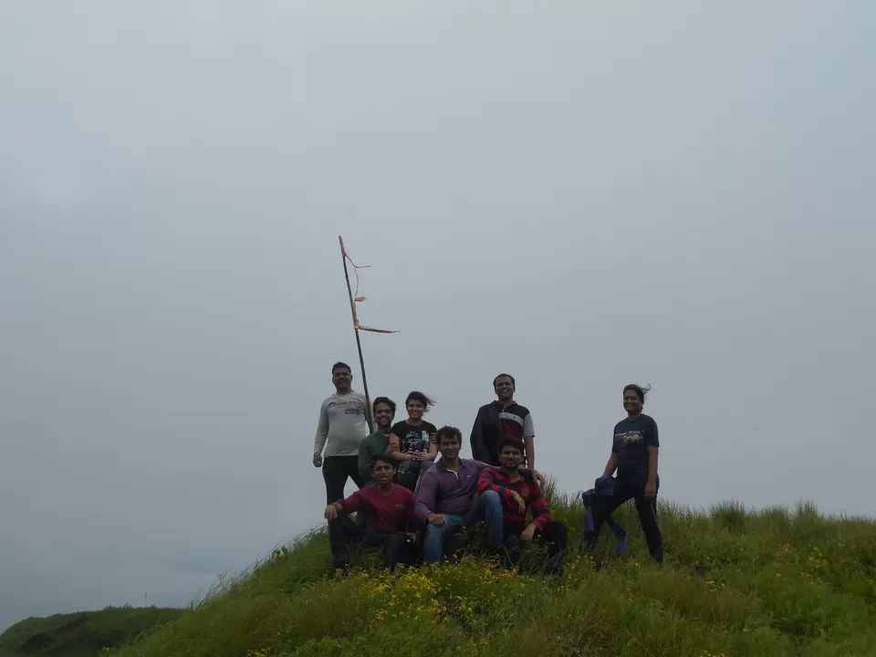
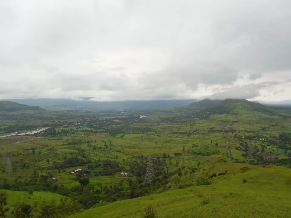
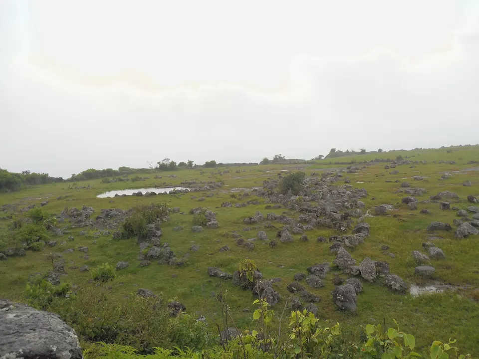
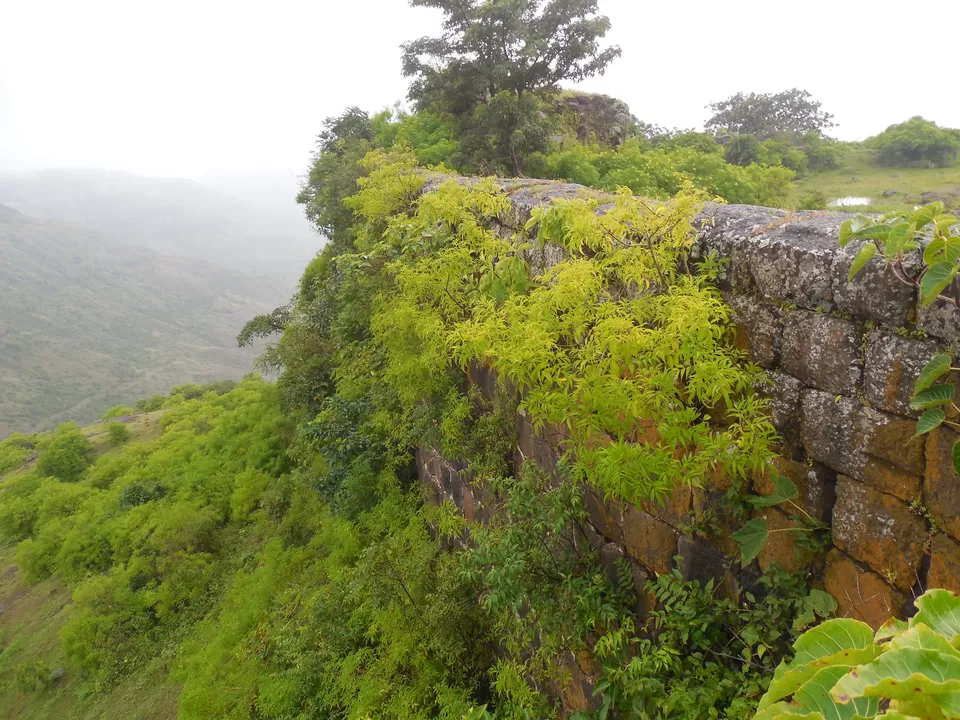
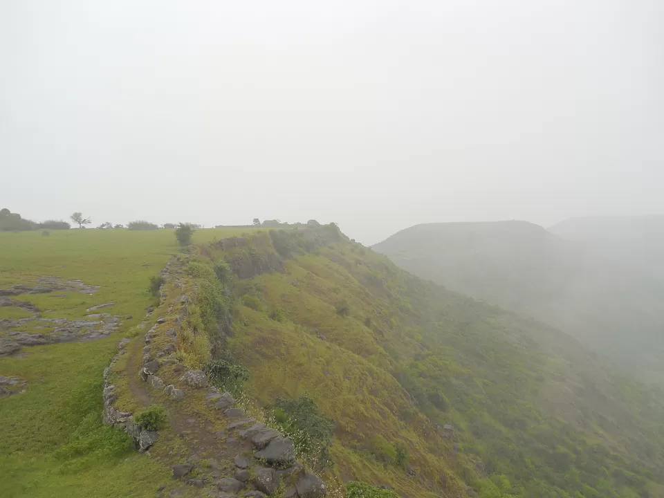
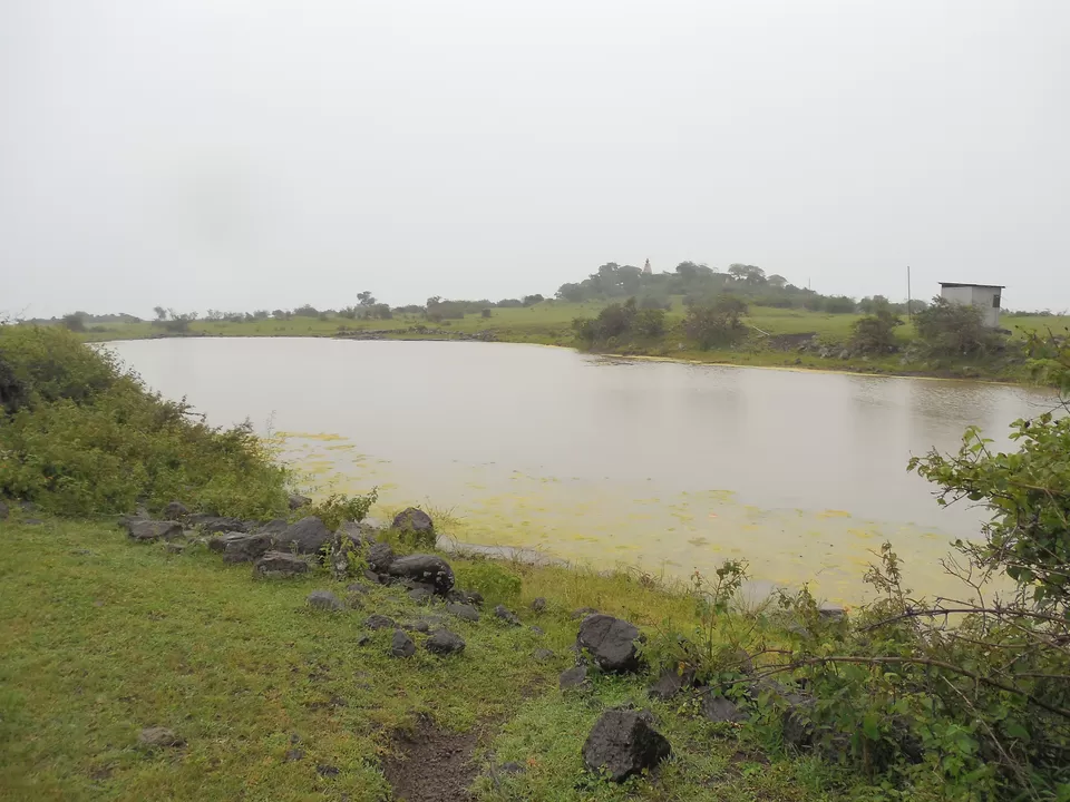
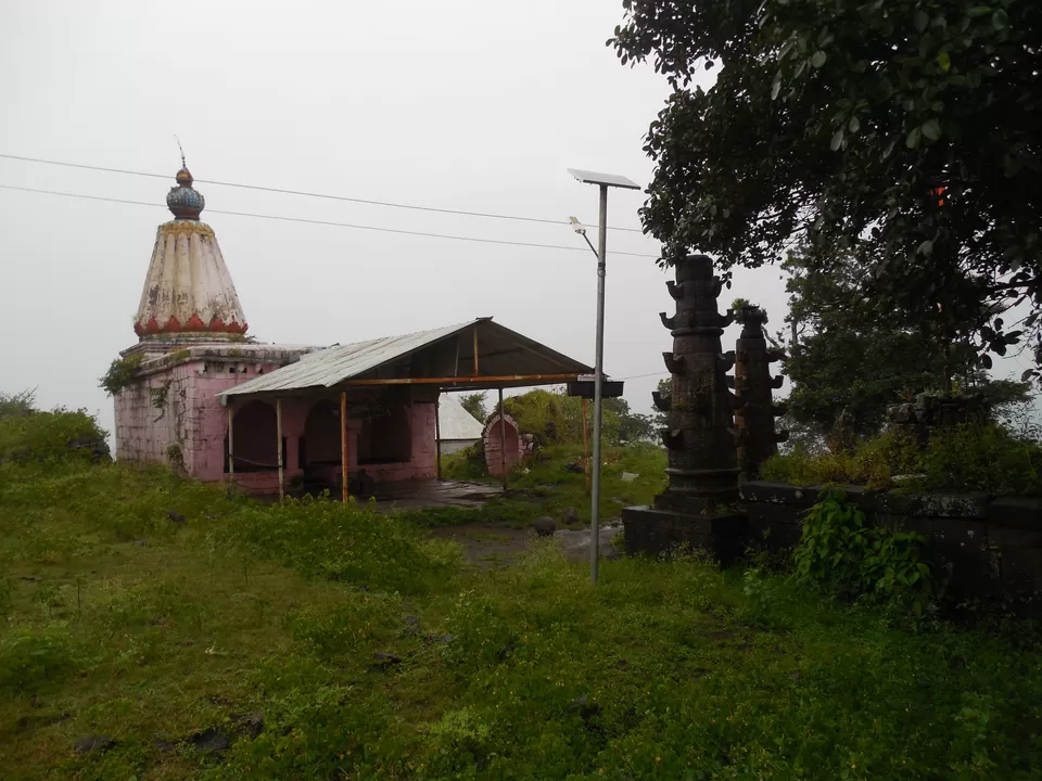
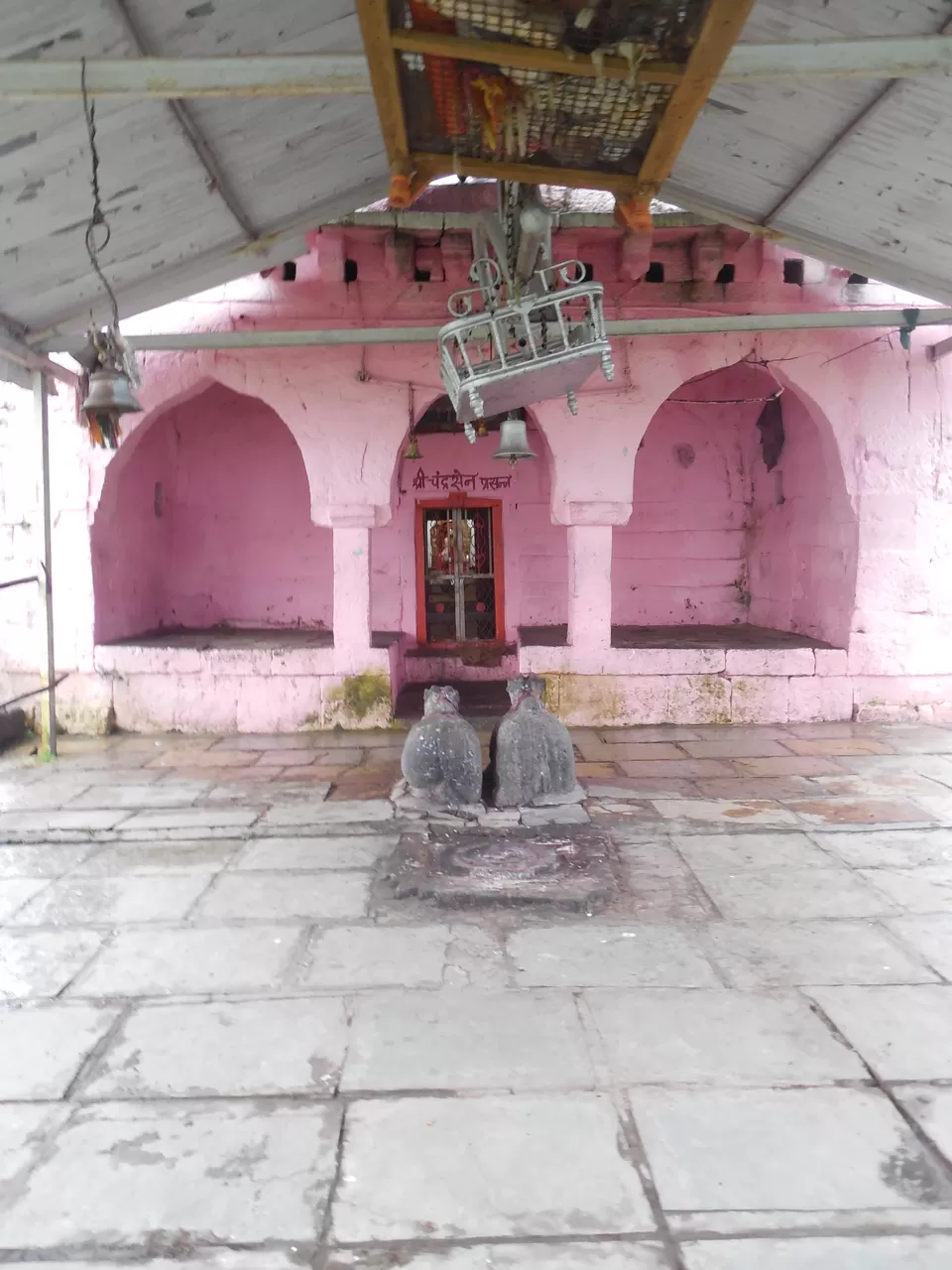
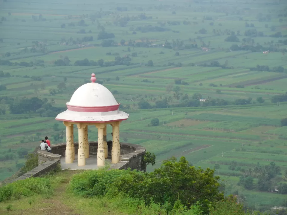
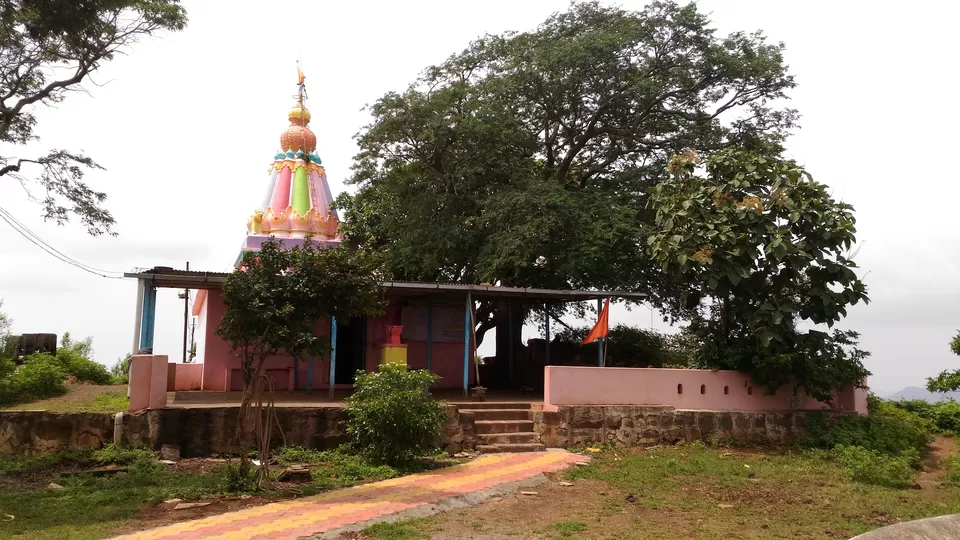
After exploring Dategad to our heart's content, we came back to our vehicle and had lunch. As it was 2 PM already, we had a question, that if we would be able to complete Vasantgad before sun goes down. According to the villager we met at Morgiri, it will require more than 1 hour to ascend Vasantgad. Hurriedly we had lunch and started towards Vasantgad. For Vasantgad, you need to come back to Patan and ply toward Karad on Karad Chiplun Highway. Sakurdi is the base village of Vasantgad, which is 27 kms from Patan. As soon as you see Sakurdi board on the highway, ask for directions and by taking a prominent left you can see Vasantgad standing tall and high in front of you. As it rained last night, the road was mushy, we took our car as far as we could and then parked it besides a field. We took a small boy from the village, who was only to assist us and show the initial direction to go towards the fort. There are two approaches to Vasantgad, one from sakurdi on karad chiplun highway and other from Talbid village (Village of Senapati Hambirrao Mohite) which is bit offset from Pune Bangalore Highway. Both the approaches are equal in effort and it requires not more than 45 mins at constant pace to reach the top (we did it in 35 mins, yo !!). The fort is huge in expanse as you can see from Sakurdi. Entrance of the fort is nicely carved in rock and has a small Ganpati temple. Exactly in the middle of the fort there is Chandrasen Temple (suppose to be son of Shurpanakha in Ramayana). Fort boundary wall is still intact and strong, you can take a walk on it. You can see lot of remnants which are indication of house structures which were there on the fort few hundred years back. Chor Darwaza, two small lakes and a old grinding stone are some of the things you must see on this fort.


We got down from Vasantgad in less than half hour and moved in direction of Karad. For night, we stayed at Ashish Lakde's home near Karad, who was school friend of one of our group member. Crab curry at his place was just awesome and out of the world.
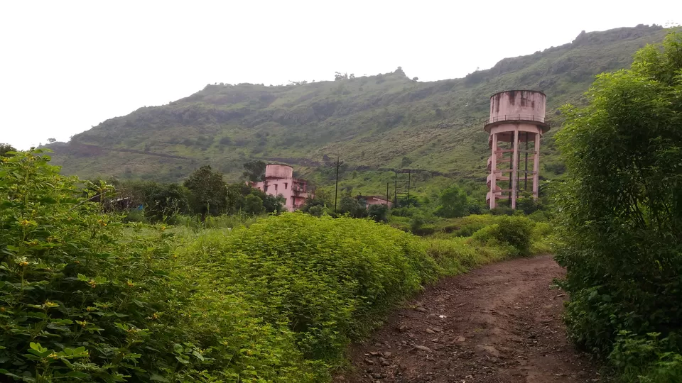
Next morning, we left Ashish's home around 8 o clock and our next target was Macchindragad near Rethare Budruk, which is not much far from Karad. After Karad you keep the vehicle on Bangalore Highway, after 12-13 km you have Wathar village, don't take the flyover, keep left and take a left turn to rethare budruk sakhar karkhana. Asking directions from villagers, you can reach Macchindragad, on the way you cross silently flowing Krishna River. Tip: Don't believe on Google Maps when you are roaming on internal road in villages, they show the fastest route, but don't take into consideration the road conditions. We wasted some time in this process. So refer to google maps, but don't blindly believe, ask villagers at every diversion.
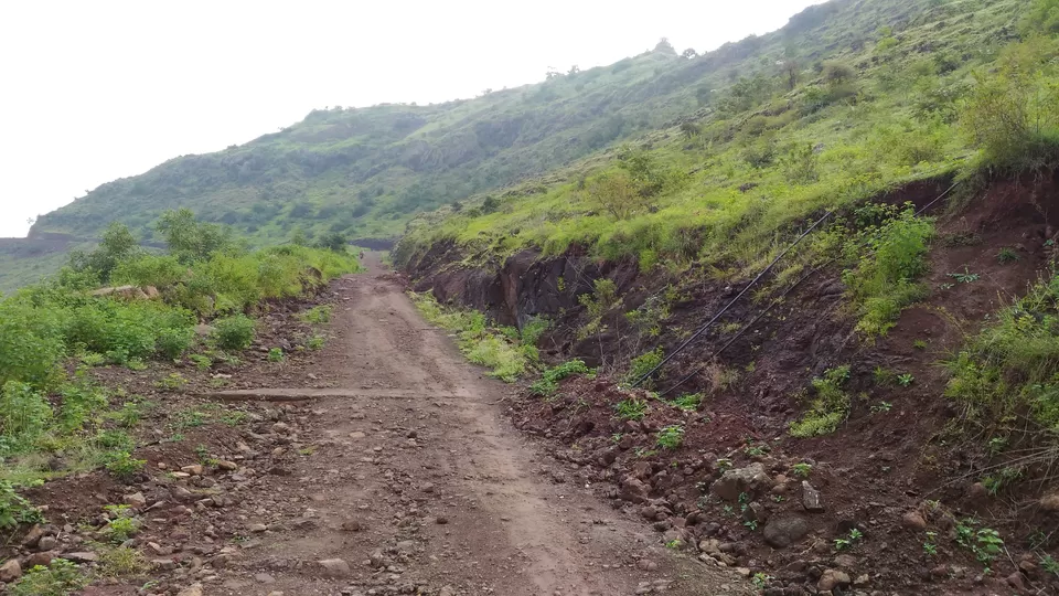
At Base, we asked a Villager if we can go uphill by Car. He said the road is Kuccha and only jeeps and bikes can go uphill. We had Ertiga, which is front wheel drive, so we decided not to take risk and leave the vehicle at base. We started walking uphill via kuccha road, which traverse the fort in parallel direction and has a gradual climb. As soon as you reach the first turn on the traverse, you can see steps from the nearby village coming directly upwards. It was Sunday and lot of people from nearby villages had came to visit the fort, especially for the temple of Macchindranath on the top of the fort. So we climbed half way on the kuccha road and half way via stairs.
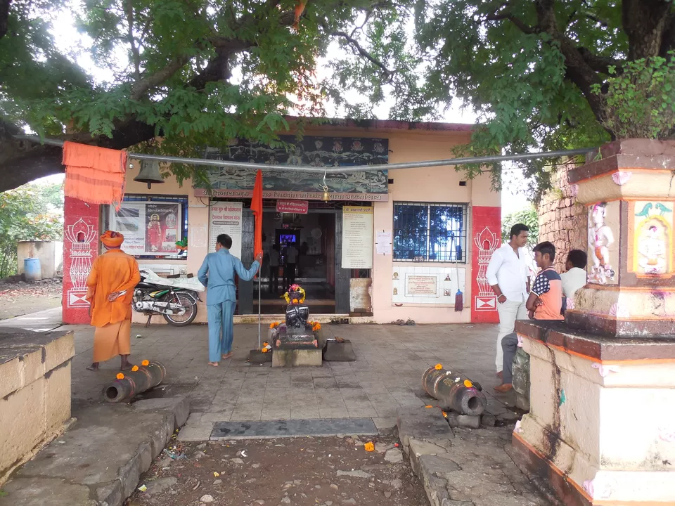
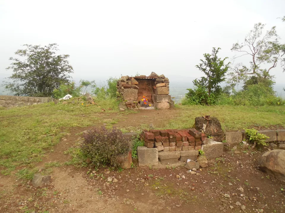
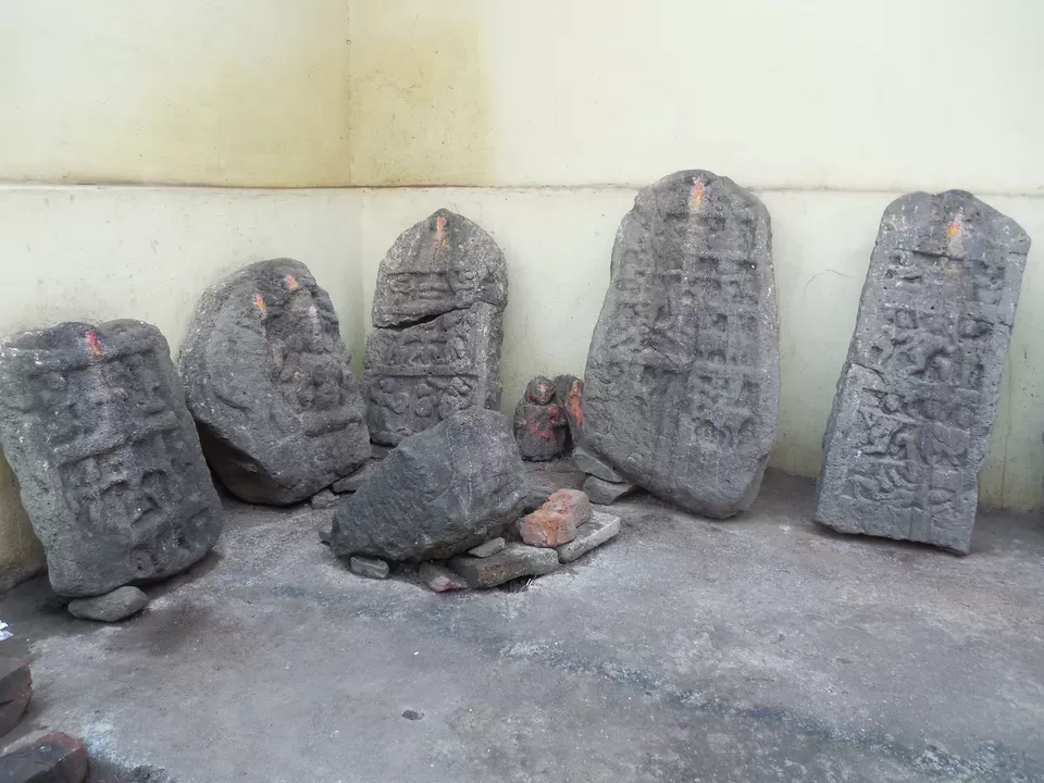
Top of the fort is big, but not much to see. Besides Macchindranath temple there are some small temples and idols all over the fort. You can also see some old house like structures which are indication of people living on the fort hundreds of years ago. You can explore the fort in 45 mins, take some breathtaking photos at backdrop of Krishna river valley from Fort Towers, which are well maintained by the villagers. We got down in 30 mins and decided to see ancient Narsingh temple in nearby Village Narsinghpur (must see place in this range), some of the pics are below
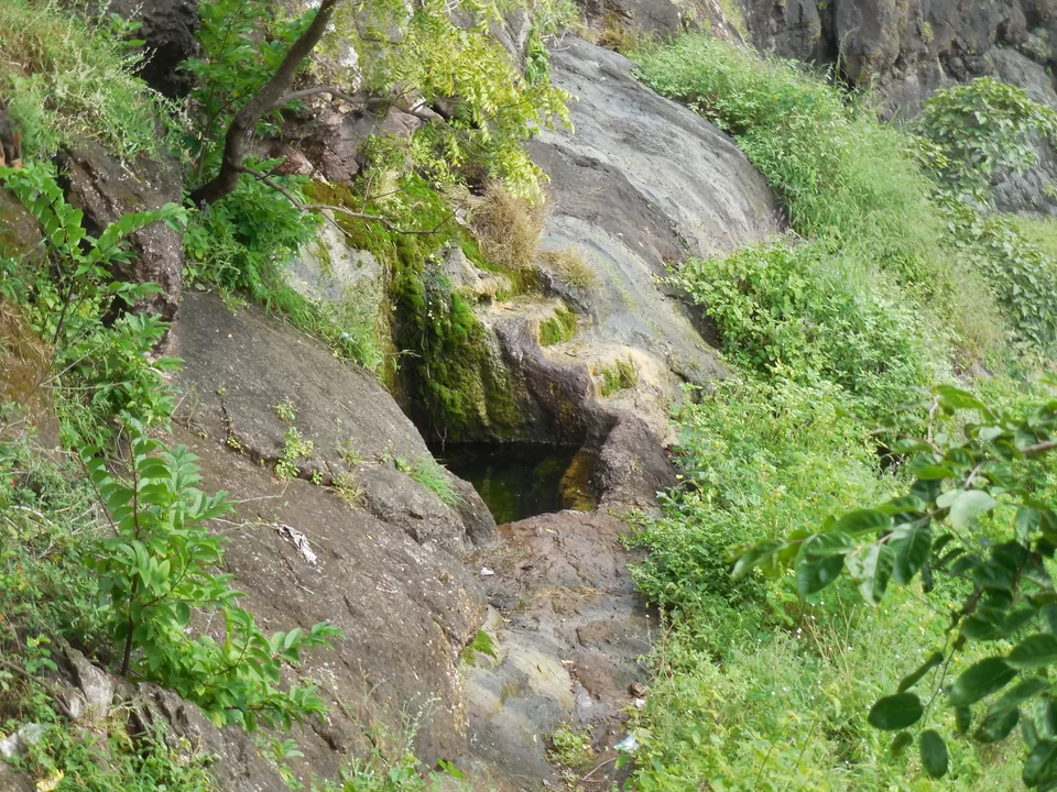
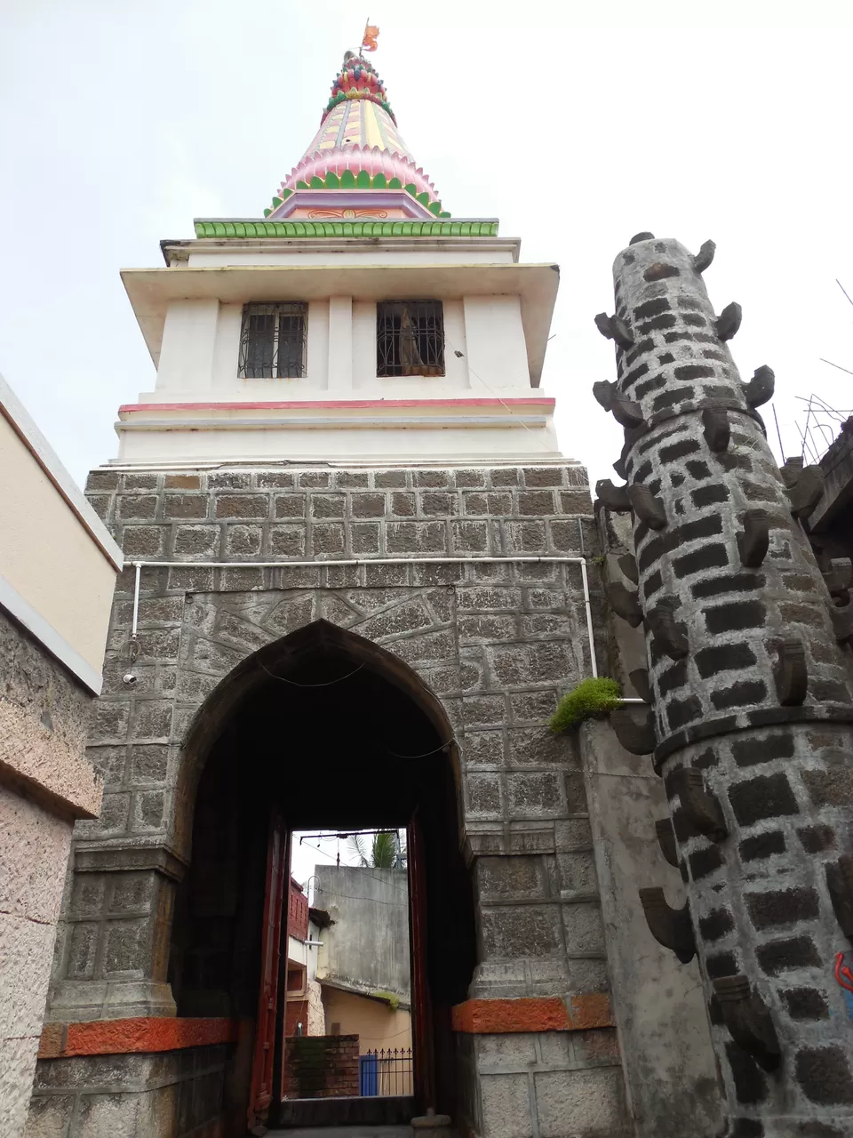
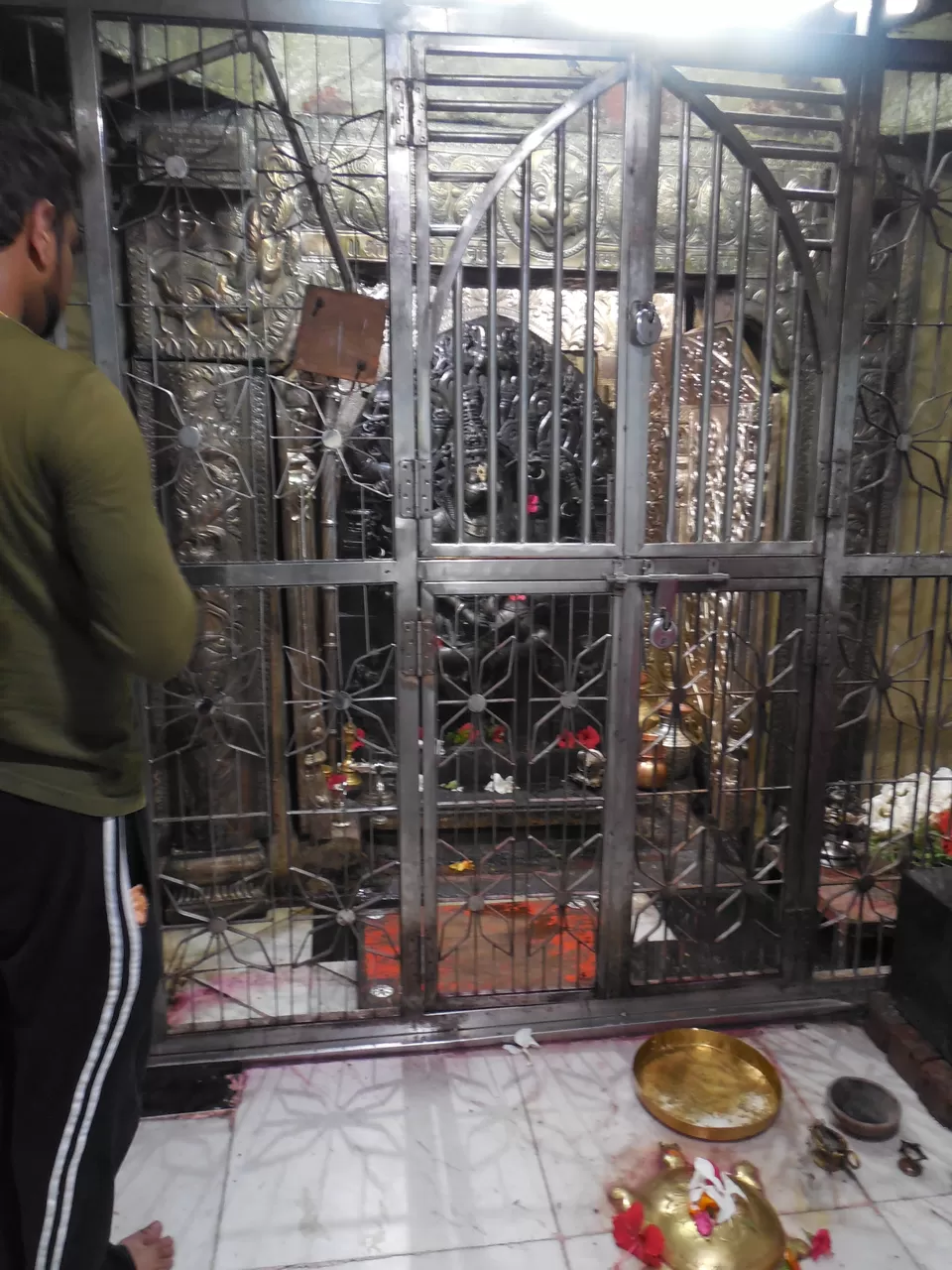
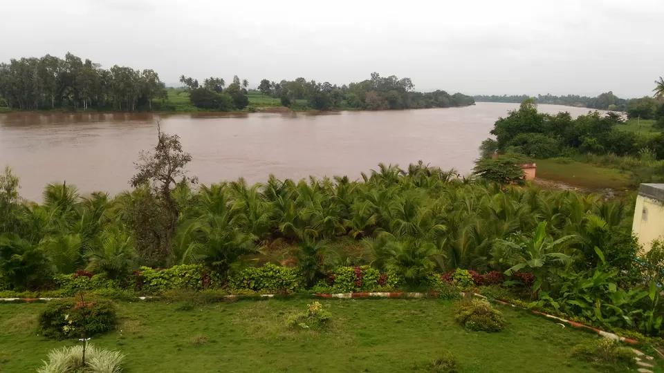
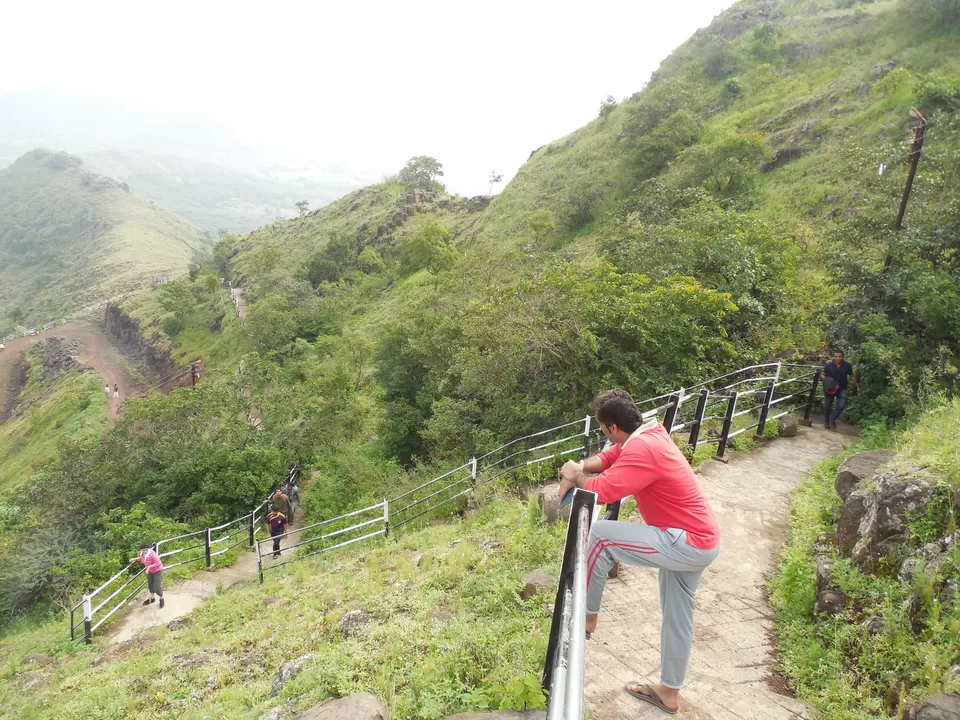
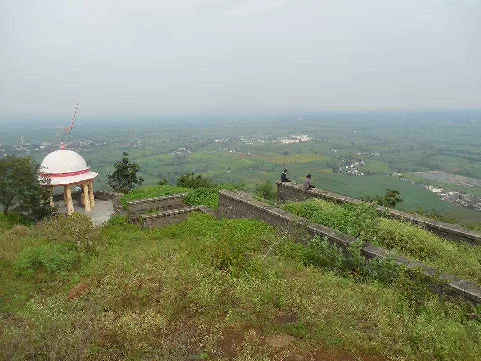
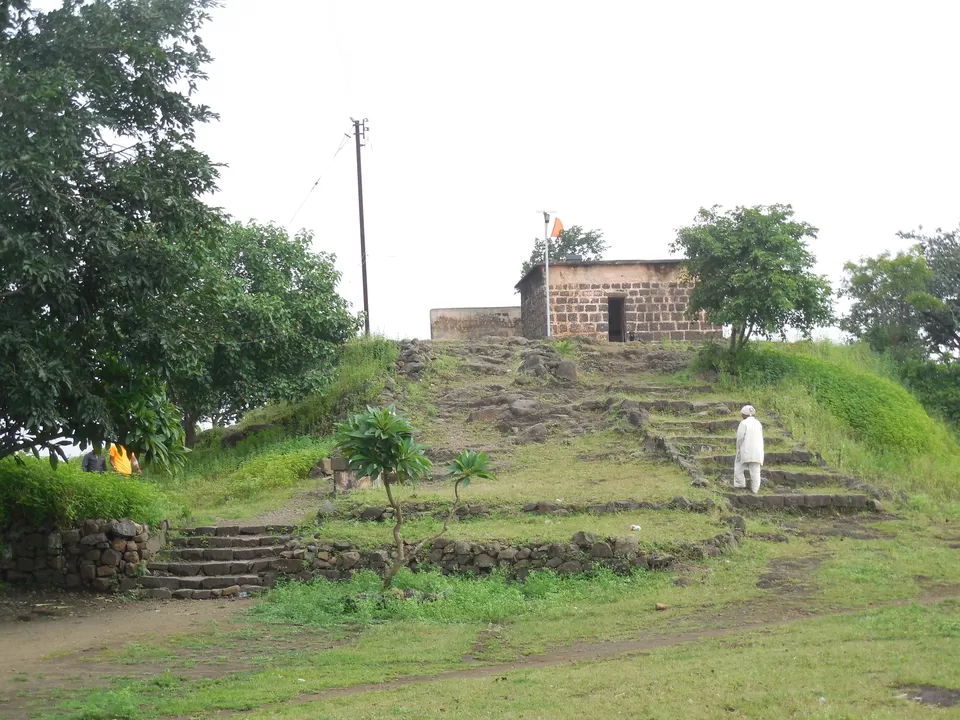
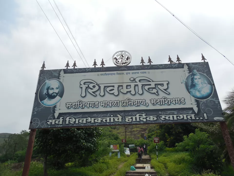
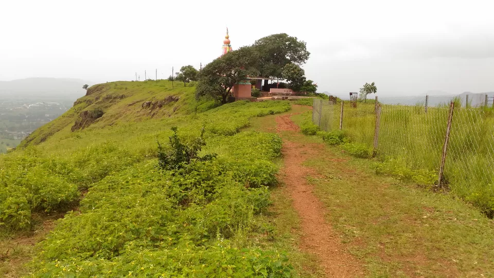
After a good 15-20 mins at Narsingh temple, our next and last target was Sadashivgad which is less than 4 kms from Karad Railway Station. You need to keep asking for Oglewadi, which is base village of Sadashivgad. Like Macchindragad, Sadashivgad is also well maintained by the nearby villages. You can reach the top of the fort by newly constructed steps in half n hour. The climb can be exhausting on a sunny day, as we have to continuously move up on the arm of the fort. There is not much to see on the fort but a big temple, big square water tank and a well. Area on the top is huge and the view as usual was beautiful. You can see Karad city and sangam of Krishna and Koyna rivers from top, entire scenery seems magical.
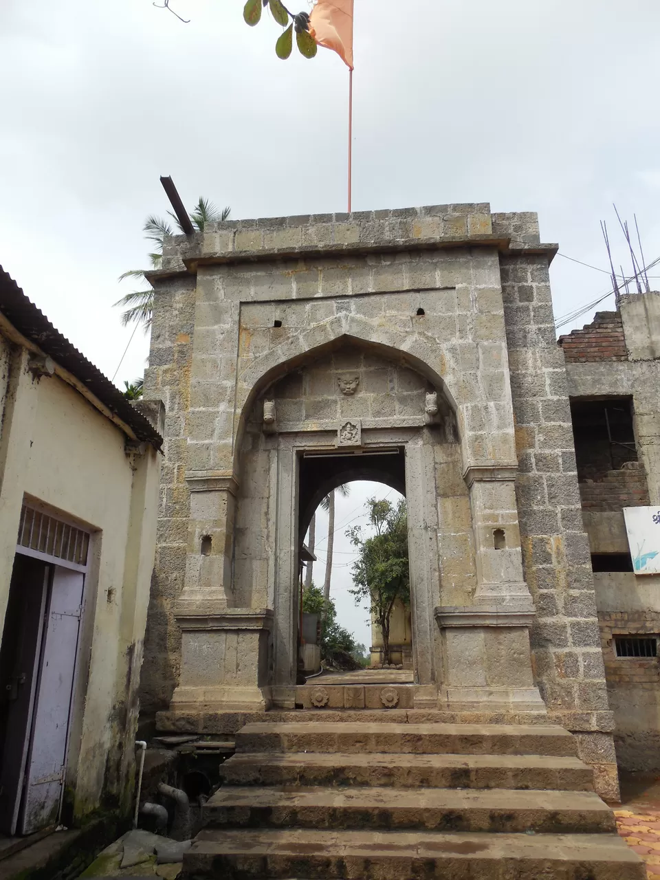
15 mins of exploration and 10 mins of rest, we started our walk back towards the base. After a long and tiring walk of Sadashivgad, all group members were hungry, so we decided to head back to Karad city. When we were moving towards Karad city, one of our group member saw his friend's FB post about 'Pantacha Kot' in Karad. It was a huge well/water tank carved in a huge rock and had beautiful steps going right till the bottom. We requested hunger to wait for sometime as the place seem to be beautiful. For 'Pantacha Kot', you need to come in Karad City and head towards Pritisangam (confluence of Krishna and Koyna river). Just before main gate of Pritisangam, there is a sharp left going upwards. You can find this place on google maps or after coming near to PritiSangam, you can ask local people for directions. Pantacha Kot is an architectural beauty built during Peshwa regime, which is in center of Karad city with all residential societies and bungalows surrounding it. After our tour, I asked some of my friends who are locals of Karad, they didn't knew about the place and were suprised to see such beauty in their city. The place is well maintained and secured by archaeological department, as it was sunday we found the place locked. By asking nearby, we came to know that there is watchman who has the key, but as it was Sunday he must be on leave. We could see the architectural marvel from the gate, but were unhappy as we can't go inside. To Give Up is not a quality of trekker, we went to nearby building and some of our group members jumped over the fence to go inside, which was bit risky. Meanwhile to our surprise, few young guys came on bike and they opened the gate. So the remaining group members, came inside from the gate and next 30 mins our eyes kept admiring the beauty of the place, which can be well explained in the pics below
'Pantacha Kot' left us with beautiful memories of Karad Patan Range. We had lunch in a Dhaba on highway and reached back to Mumbai at 10 PM. It was an amazing trip with amazing people, Kudos !!!!
You may also like to read: korum mall thane
' fill='%23359391'%3e %3cpath d='M46.1538462%2c43.5714286 L41.5%2c50 L36.8461538%2c43.5714286 L36.8670256%2c43.5714286 C36.3173077%2c42.7142857 36%2c41.6851429 36%2c40.5714286 C36%2c37.4854286 38.4535641%2c35 41.5%2c35 C44.5464359%2c35 47%2c37.4854286 47%2c40.5714286 C47%2c41.6851429 46.6826923%2c42.7142857 46.1329744%2c43.5714286 L46.1538462%2c43.5714286 Z M41.4294872%2c39 C40.6150641%2c39 39.9487179%2c39.675 39.9487179%2c40.5 C39.9487179%2c41.325 40.6150641%2c42 41.4294872%2c42 C42.2439103%2c42 42.9102564%2c41.325 42.9102564%2c40.5 C42.9102564%2c39.675 42.2439103%2c39 41.4294872%2c39 L41.4294872%2c39 Z' id='Location-white'%3e%3c/path%3e %3c/g%3e %3c/svg%3e)