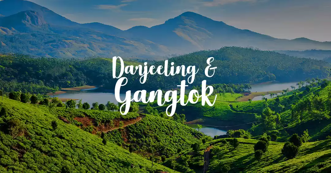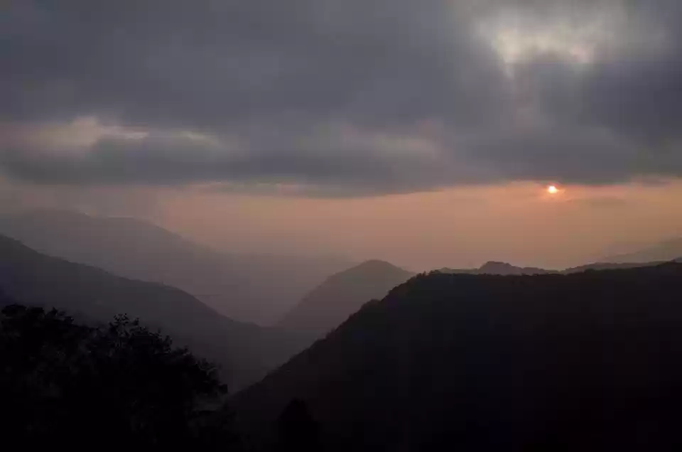
What makes us realise our bucket list goals? Sometimes careful planning, and mostly the sudden need for adventure in our lives.
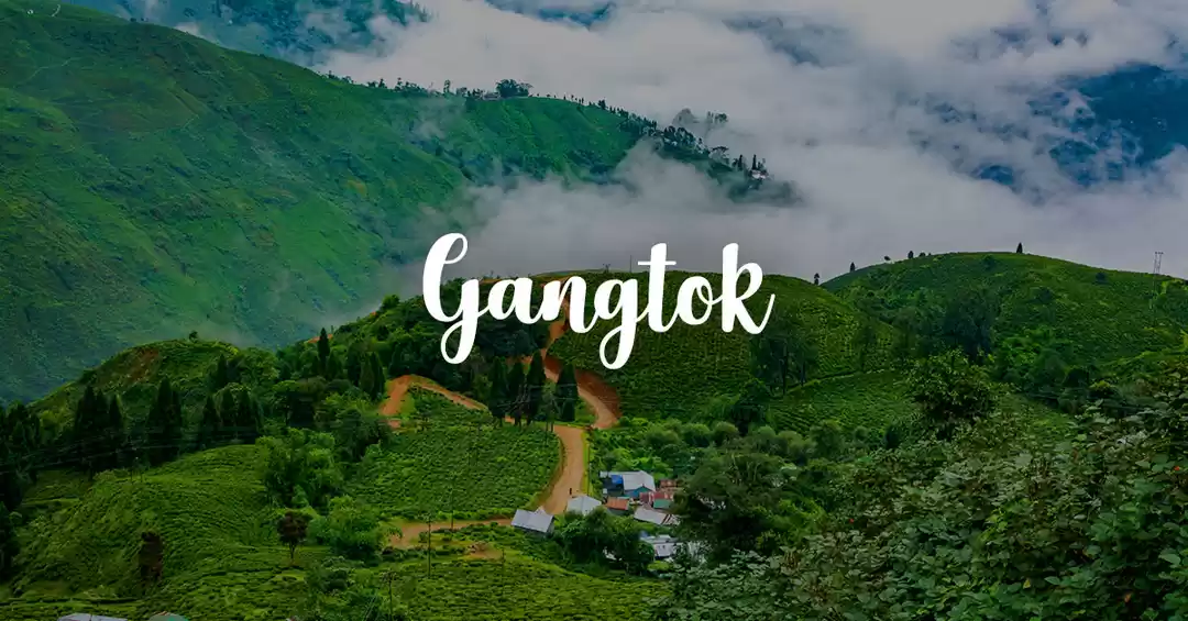
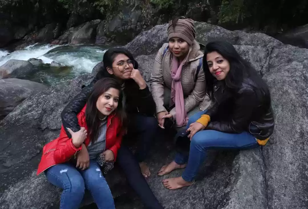
I just came back from a week-long cycling trip along the Silk Route in East Sikkim with six other riders and honestly, I had never thought that such an insane adventure was waiting for us in this offbeat corner of the country. The trip was organised by Tag Along Asia and this was hands down, the best way to explore the ancient Silk Route, a part of which goes through East Sikkim in India.
This 900km trade route once connected Lhasa to the port of Tamluk in West Bengal during the 1 century AD. Tamluk was one of the closest ports to Lhasa and the difficult terrain and high altitude made it a safer route for trade caravans to pass in those days.
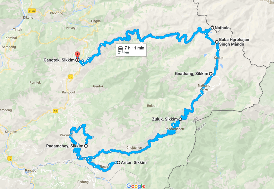
On this trip, we covered almost a 160km-section of the Silk Route starting from Aritar via Nathula to Gangtok. Here's the map:
Day one of the five-day leg challenge on the Silk Route starts now.
Aritar to Phadamchen (4600 ft- 8000 ft)
Distance: 36.7km
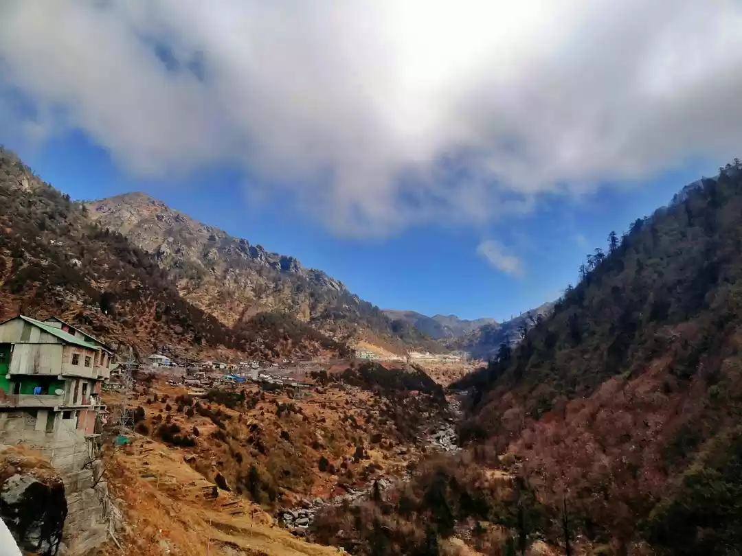
The trip was flagged off from the Lampokhri Lake on 1 April and then began the first downhill ride to Rongli, along the shade of the dark bamboo thickets. The 15km downhill ride till the Rongli Bridge was the easier initial stretch and then began the first uphill struggle to Phadamchen. All riders took it slow and some kids running alongside us and matching our pace for miles, kept us entertained.
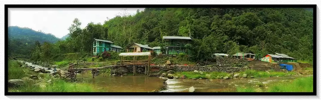
Our homestays along this route were rather memorable and on the first pitstop at Phadamchen, we were welcomed with a hot gundruk (dried radish) soup and beats of old Bollywood songs for a perfect karaoke night. It's a well-kept secret that karaoke scenes thrive in these far flung villages of Sikkim and most homestays on the route have a functional karaoke setup.


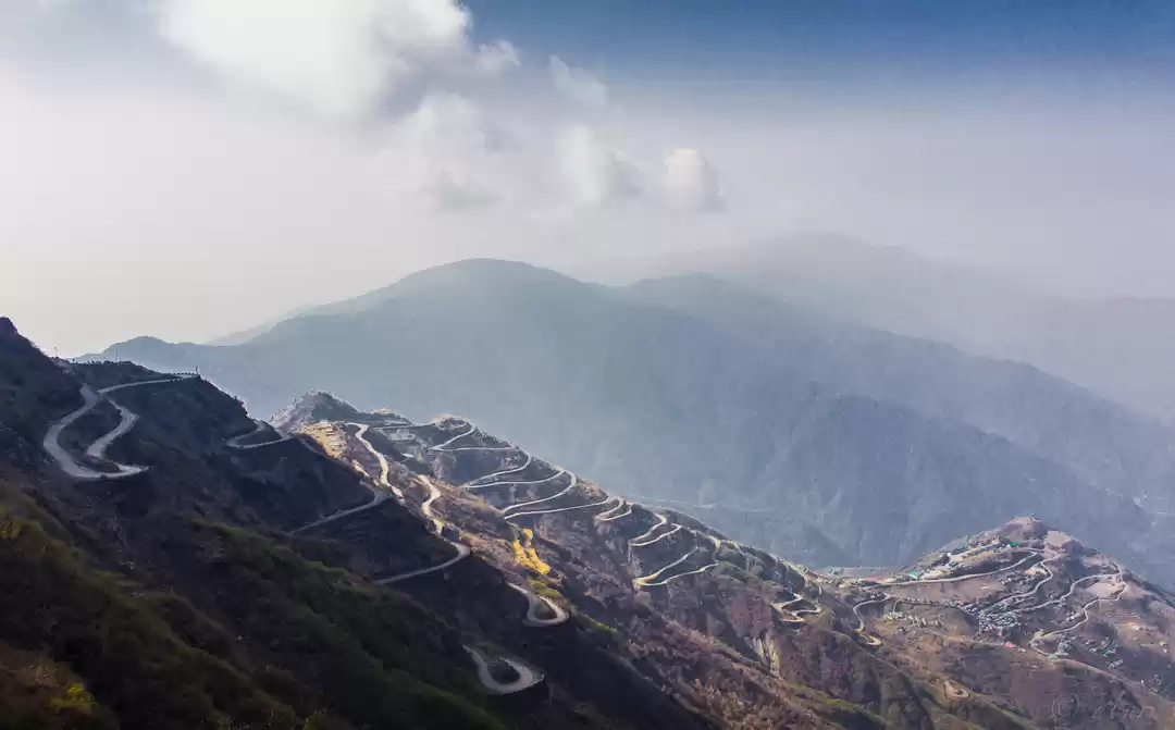
The day we crossed the Zuluk Loops. BTW do you even lift, bro?
Phadamchen to Dhupidara (8000 ft – 11,500 ft).
Distance: 24 kms
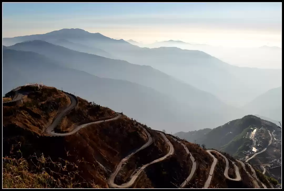
The leg day continued on April 2 and this was personally a special part of the journey for me since it was the day we crossed the Zuluk Loops, the 32 hairpin bends that have been on my bucket list for years. Little did I know that I'd be pedalling along this spectacle of a route one day.
Even before we reached Zuluk, I'd been cycling for kilometres on the winding roads mistaking the route for the famous Zuluk Loops. On reaching the Zuluk settlement for lunch, my heart sank when I noticed the real the Zuluk Loops were on the mountain that awaited us higher up on the route. When I finally rode on those roads that did not have much elevation, but whose turns on corners forced me to drag the bike on some occasions, it was a dream come true.
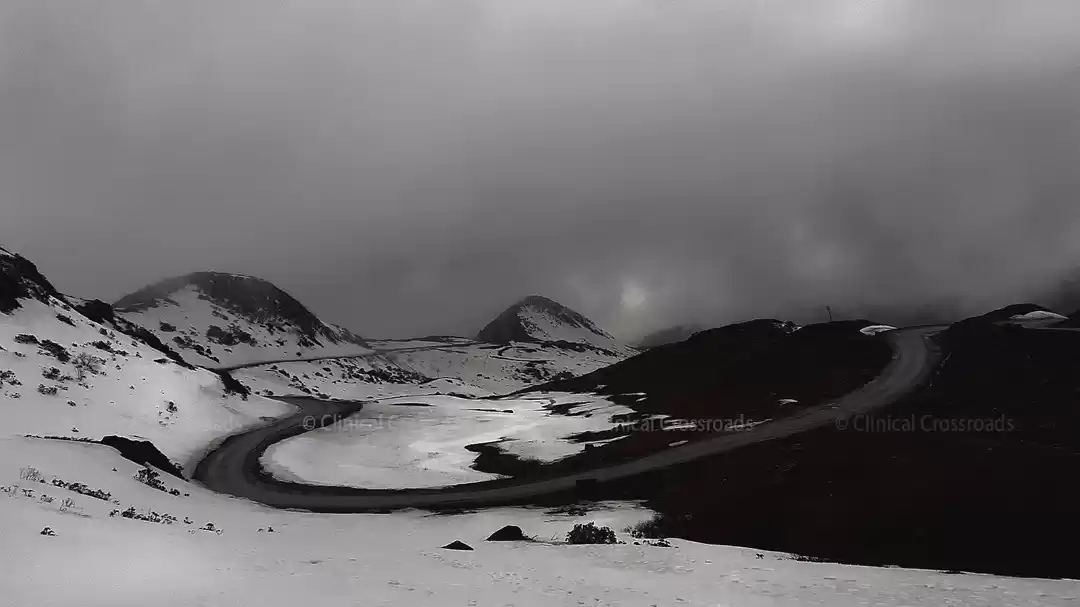
Blame the erratic weather of the mountains for helping us witness the best and worst of Zuluk in a single day. Three kilometres before we could reach Dhupidara, the pitstop for the day, I noticed hailstones knocking on my windcheater and in the next 10 minutes, we loaded our bicycles on a pickup truck. By the time we crossed the next 3km, hailstones had coved the entire road.


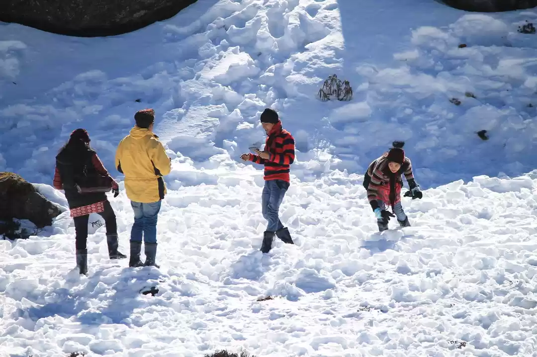
The day snowfall gave us the break we wished for.
Dhupidara to Gnathang (11,500 ft- 13,500 ft).
Distance: 9 km
"Are we even riding today?" Everyone woke up with the same question in mind. The previous day we had left one of our guides, Bikash and the doctor on the trip, Nobin, some 3km below Dhupidara. No one slept well and Nischal, the 13-year-old rider on the trip continued asking everyone about Bikash and the doc. The road was blocked and the mobile signals no longer worked, and we were definitely in a fix.
The drill continued for me and Manisha di, the organiser to fetch multiple cups of teas from the kitchen for everyone, getting our socks wet every time we stepped out on the snow. At around 11am, we heard the voices we had been waiting for. Bikash and Nobin had finally arrived after spending the night at an army camp down in Zuluk.
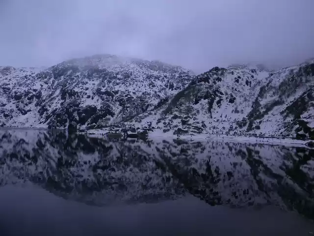
It was declared a day off from cycling and we drove to a spot near Gnathang. The landscape was at its brutal best and looking at the beautiful snowscapes, we decided to walk along the last stretch.


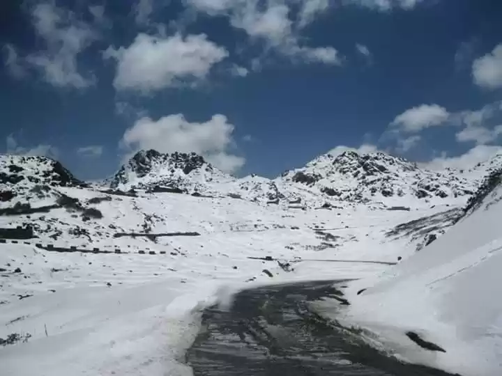
Cycling through land mine areas and sniper ranges of Nathula.
Gnathang – Nathula Pass – Gnathang (13,500 ft- 14,140 ft - 13,500 ft).
Distance: 29 km
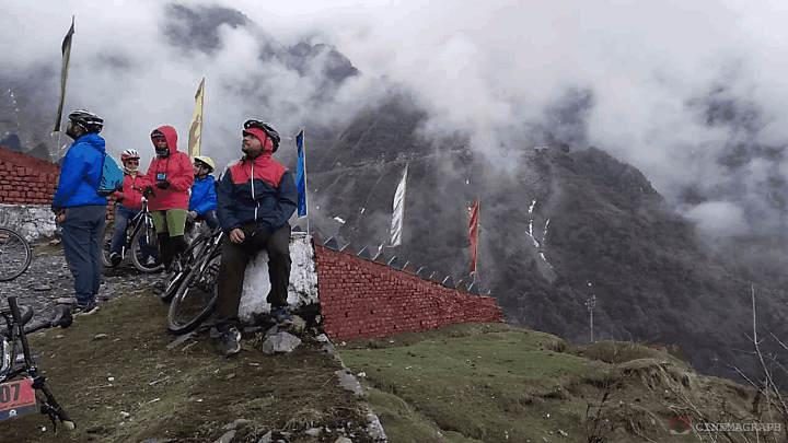
Coming this far, we all wanted to cycle on the fourth day and reach Nathula. We got multiple pep talks from our guides, Bikash and Shanti di, and this was enough motivation to keep us going.
The winds at Nathula made cycling challenging for all riders. I was riding alongside the 13-year-old, who would ride past me humming, "I like to move it, move it..." If anything, it was the goofing around on this route that kept our spirits high.
We crossed the majestic Elephant Lake, the famous Baba Harbhajan Mandir, Hangu Lake and Tsomgo Lake on our way to one of the highest passes and every pitstop was beyond an overwhelming experience. At Nathula, we entered the army settlements and across the border gate we could see the fluttering Chinese flags reminding us how far we had come.
We returned to our homestay in Gnathang and spent the night playing memory games, atlas, bluff and even invented a few new games that night. The bukhari and warm chang made us all the more comfortable and by the end of the games, the doctor in the squad was declared the "Bluffmaster" that night.


Feeling the wind in my hair on a 60-km downhill ride to Gangtok
Nathula Pass - Gangtok (12, 500 ft - 5400ft).
Distance: 59.5 km
With sore posteriors and soaring spirits, the last day of cycling was something we were really excited about. After an almost 100-km uphill ride in the last few days, today was all about a comfortable 60-km downhill ride from Nathula to Gangtok.
Traversing through the winding roads, waving to the army men on the way who were almost surprised to see the squad on wheels at this altitude. It was also the day I met a friend of mine, who was posted at one of the army camps near Tsomgo Lake. We were greeted with warm apple juice and pakodas by the men in uniforms. Needless to say, the army always lives up to the culture of hospitality they are known for.
We also had to manoeuvre our bikes through the long traffic jam due to a landslide and move past all the vehicles stuck below Tsomgo Lake. We had descended quite a bit and the Bengali tourists at Tsomgo Lake stopped us multiple times for quick selfies and at times borrowed our cycles to get themselves clicked. Did we mind? Of course.
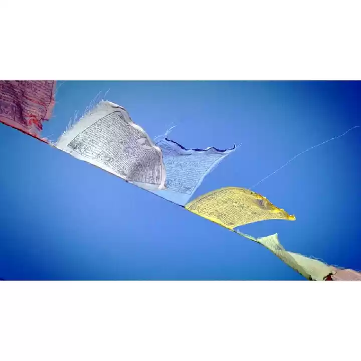
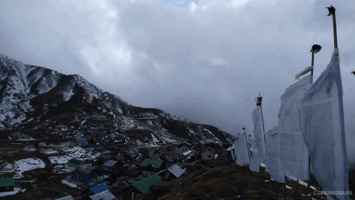
All this while, we were racing with the dark clouds above us and the sole aim was to reach Gangtok before it would rain. Luckily, we skipped any sort of havoc on the final day and when we reached the city, it was bright and sunny. The kids coming back from school, the sound of whizzing vehicles and the fluttering prayer flags in the outskirts of the city, it all felt like coming back to the life we took a break from.


The final day out with the squad in Gangtok.
Travel experiences somehow always end up being about the people you meet. On the last day during breakfast at Gangtok, we realised that all this while, we had been travelling with a Khel Ratna award winner of Sikkim, Shanti Rai. We spent most of that morning inside the hotel room listening to her trekking tales and rescue stories on the mountains. This 5 ft tall rather shy woman had more stories than all of us combined in the room and about the things she didn't reveal, we had google at our disposal.
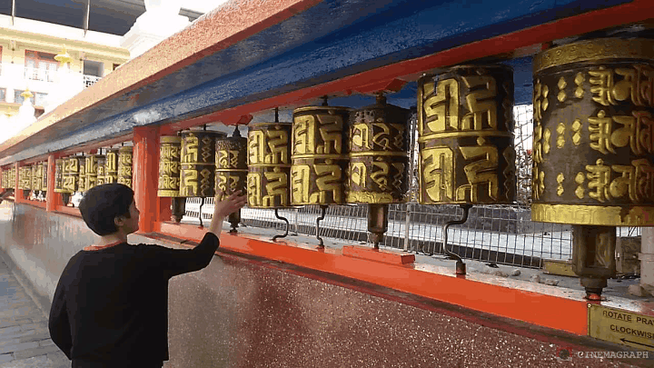
We visited the Namgyal Institute of Tibetology that day and it was indeed the right spot to end this journey. Here were displayed restored ancient Tibetan, Newari and Oriya manuscripts and artefacts that were discovered along the Silk Route. This visit was essential to put things into perspective and helped me return from this trip with experiences and essential education about this corner of the country.
You can checkout more photographs from this trip on my Instagram. For more information on the Ride The Silk event check out Tag Along and participate in a similar adventure from 4 to 11 November, 2017. Plan Now!
Planning a trip to Sikkim? Click here to read how travellers on Tripoto are exploring this north-eastern state of India. Or share your own travel stories from Sikkim and help travellers plan a similar trip to the destination you love.
Frequent Searches Leading To This Page:-
sikkim bike tour 2020, sikkim bike trip blog, sikkim bike tour packages, sikkim bike trip itinerary, sikkim bike trip packages

' fill='%23359391'%3e %3cpath d='M46.1538462%2c43.5714286 L41.5%2c50 L36.8461538%2c43.5714286 L36.8670256%2c43.5714286 C36.3173077%2c42.7142857 36%2c41.6851429 36%2c40.5714286 C36%2c37.4854286 38.4535641%2c35 41.5%2c35 C44.5464359%2c35 47%2c37.4854286 47%2c40.5714286 C47%2c41.6851429 46.6826923%2c42.7142857 46.1329744%2c43.5714286 L46.1538462%2c43.5714286 Z M41.4294872%2c39 C40.6150641%2c39 39.9487179%2c39.675 39.9487179%2c40.5 C39.9487179%2c41.325 40.6150641%2c42 41.4294872%2c42 C42.2439103%2c42 42.9102564%2c41.325 42.9102564%2c40.5 C42.9102564%2c39.675 42.2439103%2c39 41.4294872%2c39 L41.4294872%2c39 Z' id='Location-white'%3e%3c/path%3e %3c/g%3e %3c/svg%3e)