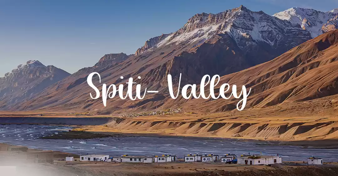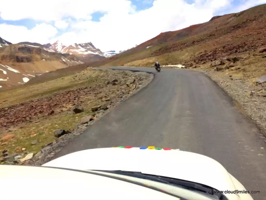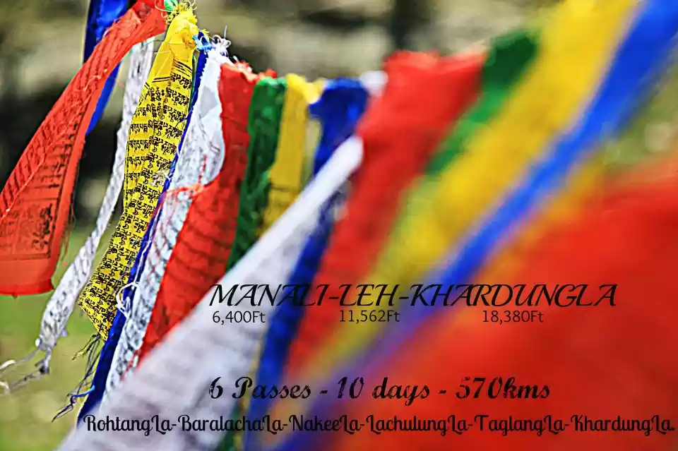

Finally, the time has come to say good bye to Leh and proceed for our return journey via Leh - Manali Highway. With an enchanting memory of Leh we were up for the treacherous Leh - Manali Highway which is regarded as one of the most adventurous road in the world. The 460 KM long highway has its own challenges. Stretch of 360 KM doesn't have any fuel station and are mostly uninhabited. You are on your own all along the highway and that is the reason we were here. The average elevation of Leh - Manali highway is more than 4,000 m (13,000 feet) and its highest elevation is 5,328 m (17,480 ft) at Tanglang La. The road opens for only 4 months in the year from mid May to September. Till now we have followed our itinerary and have achieved our goal and similarly we have planned to cover the distance of 460 KM in two days and Sarchu being our stopover with below route to be followed.
Leh - Karu - Upshi - Taglang La - Pang - Lachulung La - Nakee La - Gata Loops - Sarchu Travelogue
Once again the target was to leave as early as possible due to uncertainty over road conditions as we have received mixed reviews from fellow travellers. But based on our experience we were not thinking about the information received and focused on our plan. Since we had already spent time at high altitude everyone was acclimatized to high altitude that added to our comfort for further journey. We packed our bags and fully loaded the car for the return journey. It almost took an hour to place everything in order and by the time we left from Leh it was 12:05 p.m. with trip meter at 3370 KM. We filled the fuel tank at the last fuel station after Leh i.e. at Karu (33 KM ahead) and took a halt for lunch. We left from Karu @ 1:55 p.m. and crossed Upshi @ 2:10 p.m. the last major settlement after Leh thereby crossing 46 KM. The weather as well as road conditions were perfect. We were cruising on the tarmac with beautiful view all around. Once again a change in the topography with quite a few stretches of plain. The vast expanses of plains at such an altitude flanked by mountains were a treat to watch.


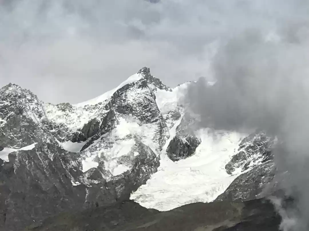
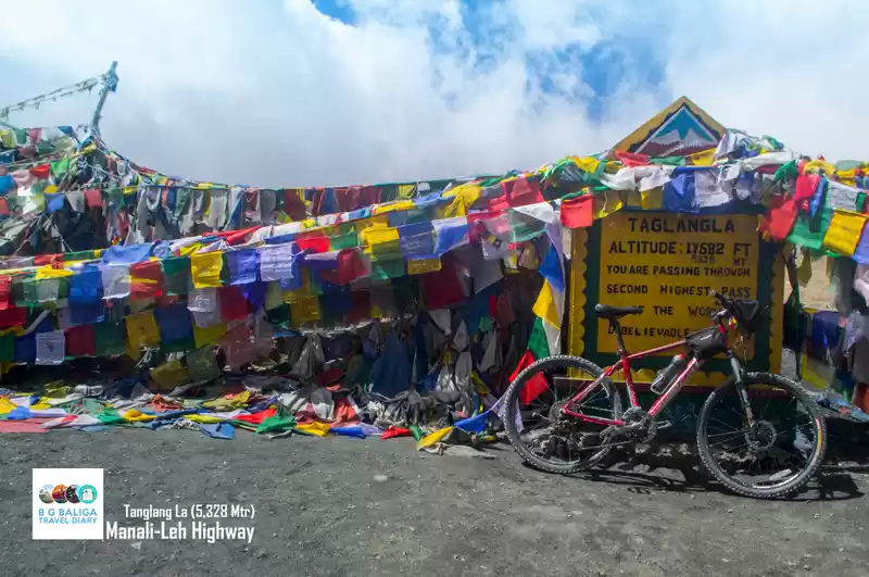
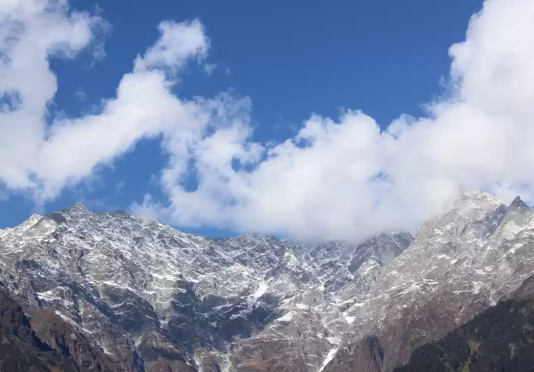
While enjoying our journey we reached Tanglang La at an altitude of 5328 m (17480 ft) at 4:30 p.m. thereby covering a distance of 106 KM without even realising that we have ascended 1800 m from Leh. Taglang La is the highest pass on Leh - Manali highway and is considered amongst the highest passes in the world as well. The road conditions till Taglang La was amazing. We spent beautiful time at this place and never felt uneasy at high altitude. The view from Taglang La was picturesque with vast expanse of mountains, snow clad peaks, and colourful prayer flags. A tea break at a small stall with cool breeze brushing through your chin was a must have experience. We left from Taglang La at 5:00 p.m.


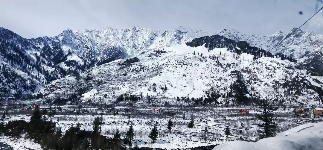
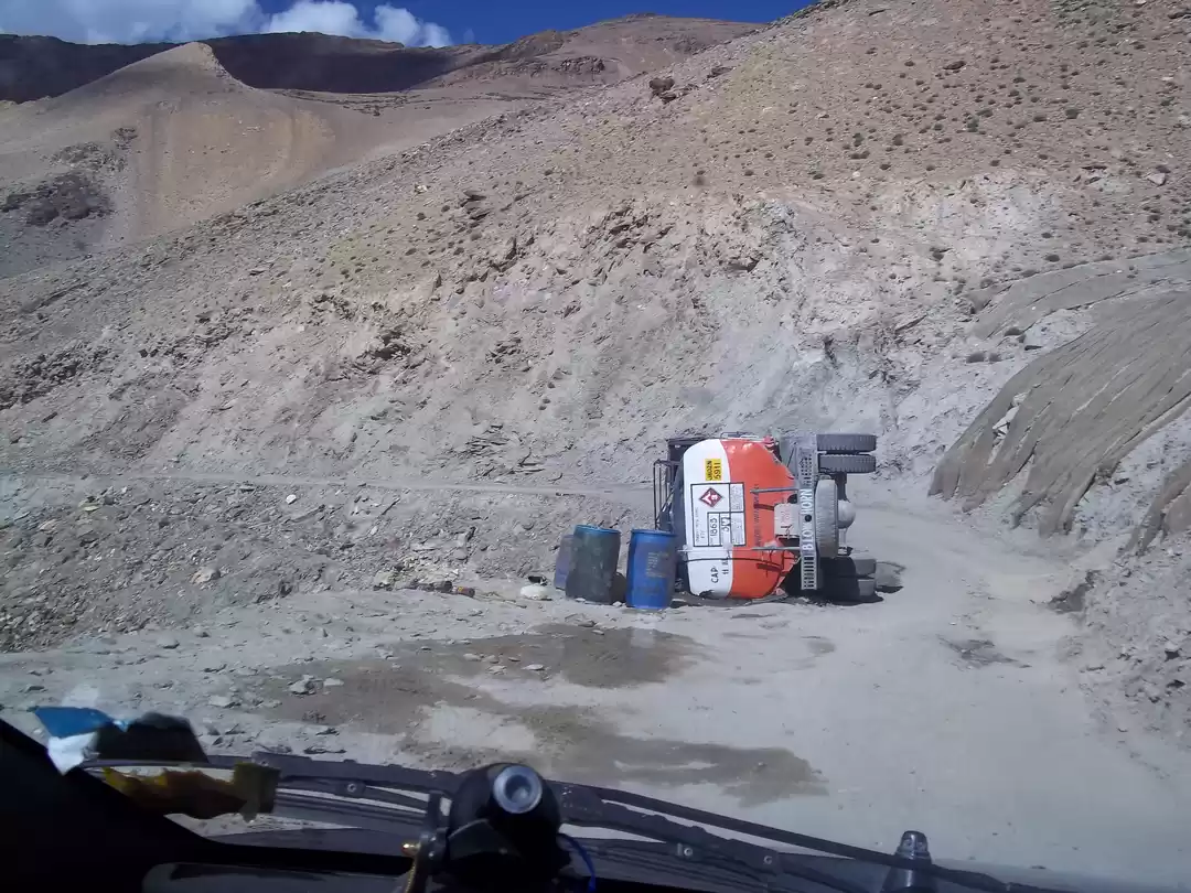
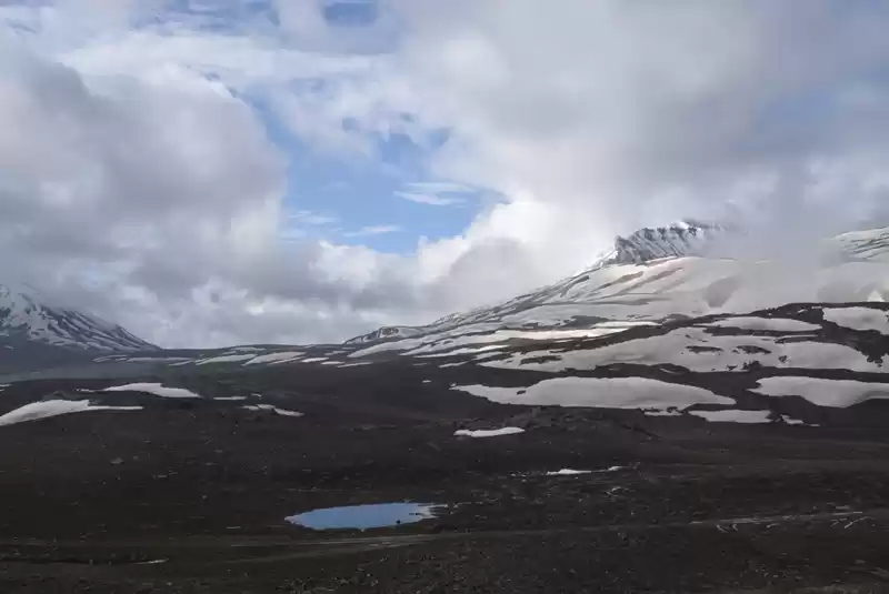
The road ahead was also beautiful and we were cruising at a descent speed even on the hills. After a gradual descend we were again cruising through the plains with panoramic view of Himalayas. The vast expanse of plains with green cover and rocky mountains were an overwhelming sight. We took a small halt and spent some memorable time in the lap of nature. While cruising on the highway there came the time when we could see the end of luxury driving and the glimpse of tough terrains ahead. At this juncture there was another mystery that unfolded - a sight that was the highlight of the day. At the end of the plains we saw formations of natural rock and sand along Sumkhel Lungpa River. Nature at its best! We continued our onward journey and the comfort cruise was past with rough road conditions ahead. We reached Pang (altitude 4600 m) @ 6:25 p.m. thereby covering 172 KM.


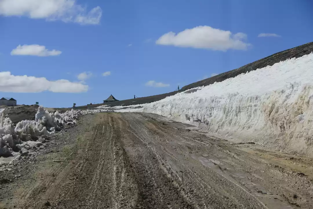
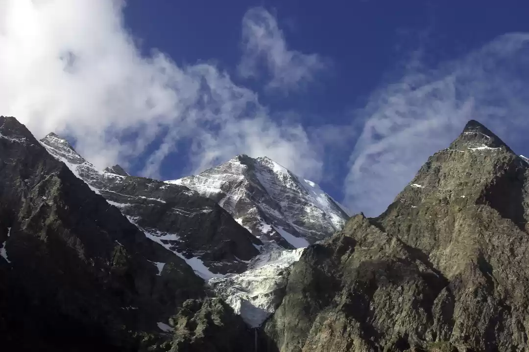
There were some small tea stalls and tenting options available at Pang. By looking at the tough terrains and uninhabited location we initially gave a thought on taking an overnight halt here but finally decided to move ahead. We reached Lachung La (altitude 5065 m) @ 7:25 p.m. with 194 KM covered. We covered the uphill climb of 22 KM from Pang to Lachung La in an hour. Lachung La is the second highest pass on Leh - Manali highway. We moved ahead and reached Nakee La (altitude 4739 m) at 8:10 p.m. thereby covering a distance of 205 KM. By the time we crossed Nakee La it was dark and we still had some distance to cover to reach Sarchu. The road conditions were a mix of good as well as tough conditions.


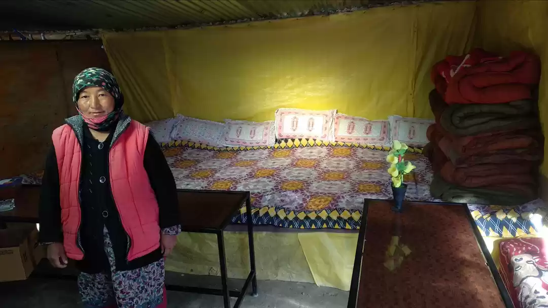
After Nakee La we started traversing through hairpin bends and these loop seemed never ending. Since it was dark we were caught unaware of these loops and came to know about the Gata Loops (21 hairpin bends) which covers a descent of 500 m in altitude after the last bend. We took a sigh of relief after crossing Gata Loops and the road ahead was decent with patches of tough terrains. We finally reached Sarchu @ 9:55 p.m. thereby covering a distance of 246 KM. There was only one tent site and few makeshift settlements for overnight stay at Sarchu. We finally opted for the makeshift settlement as it seemed to be the only option available. In the morning when we moved ahead than realised that lot of stay options were available in other side of border just after the checkpost. For all travellers, Sarchu (J&K) and Sarchu (HP) are separate with Sarchu (HP) being more beautiful and lot of campsites available for stay.

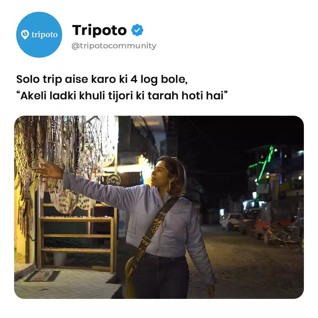
On day 10 we covered 246 KM in 10 hours including halts and passed through two highest peaks on the Leh - Manali Highway. We passed through beautiful as well as tough terrains and crossed the 21 hairpin bend known as Gata Loops. The highway had very less vehicular traffic with long stretches of uninhabited landscapes. A stunning journey that brings you near to yourself and makes us realise the importance of our existence.

' fill='%23359391'%3e %3cpath d='M46.1538462%2c43.5714286 L41.5%2c50 L36.8461538%2c43.5714286 L36.8670256%2c43.5714286 C36.3173077%2c42.7142857 36%2c41.6851429 36%2c40.5714286 C36%2c37.4854286 38.4535641%2c35 41.5%2c35 C44.5464359%2c35 47%2c37.4854286 47%2c40.5714286 C47%2c41.6851429 46.6826923%2c42.7142857 46.1329744%2c43.5714286 L46.1538462%2c43.5714286 Z M41.4294872%2c39 C40.6150641%2c39 39.9487179%2c39.675 39.9487179%2c40.5 C39.9487179%2c41.325 40.6150641%2c42 41.4294872%2c42 C42.2439103%2c42 42.9102564%2c41.325 42.9102564%2c40.5 C42.9102564%2c39.675 42.2439103%2c39 41.4294872%2c39 L41.4294872%2c39 Z' id='Location-white'%3e%3c/path%3e %3c/g%3e %3c/svg%3e)