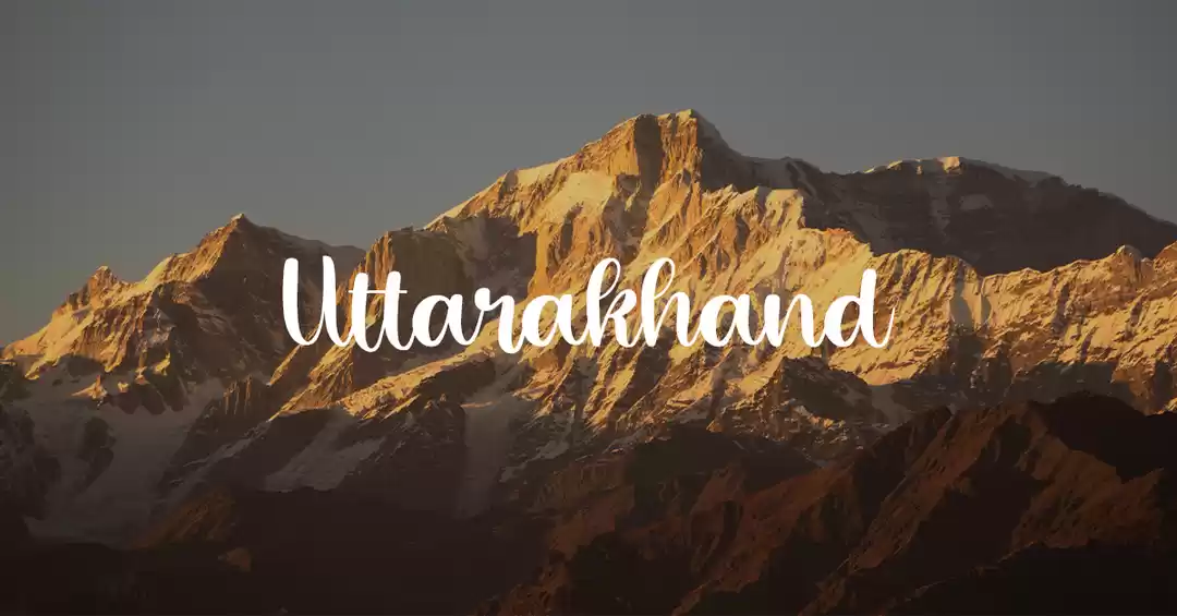
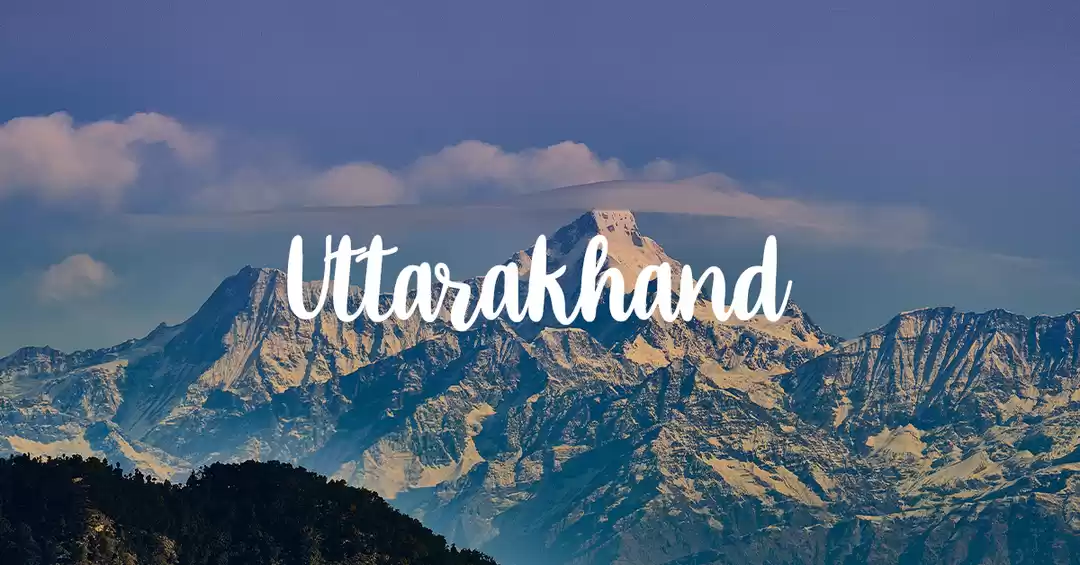
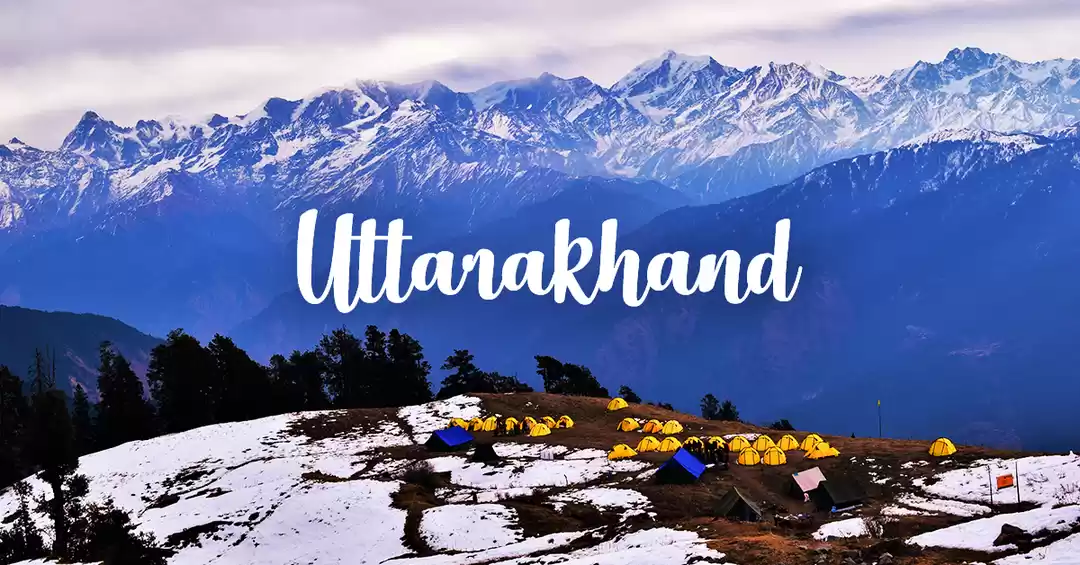
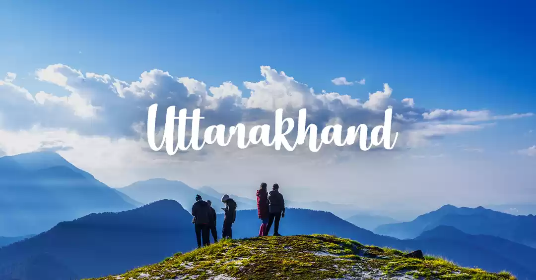
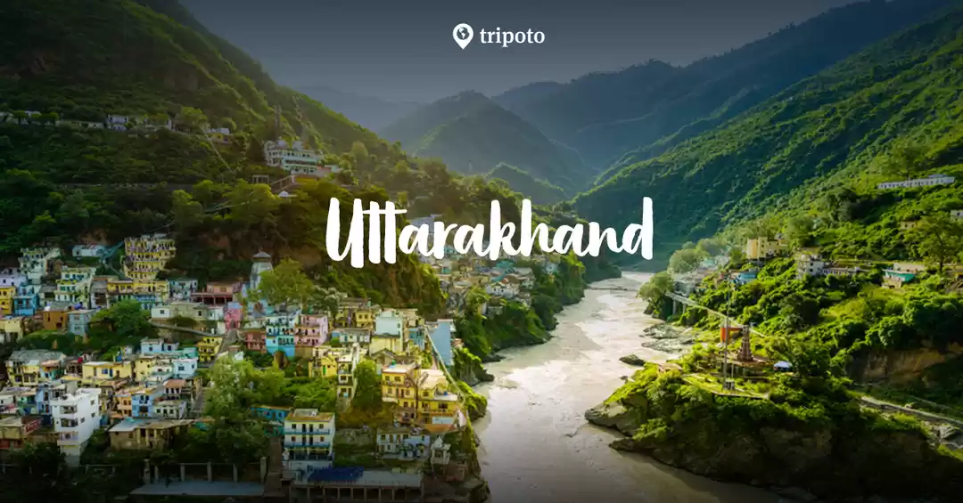
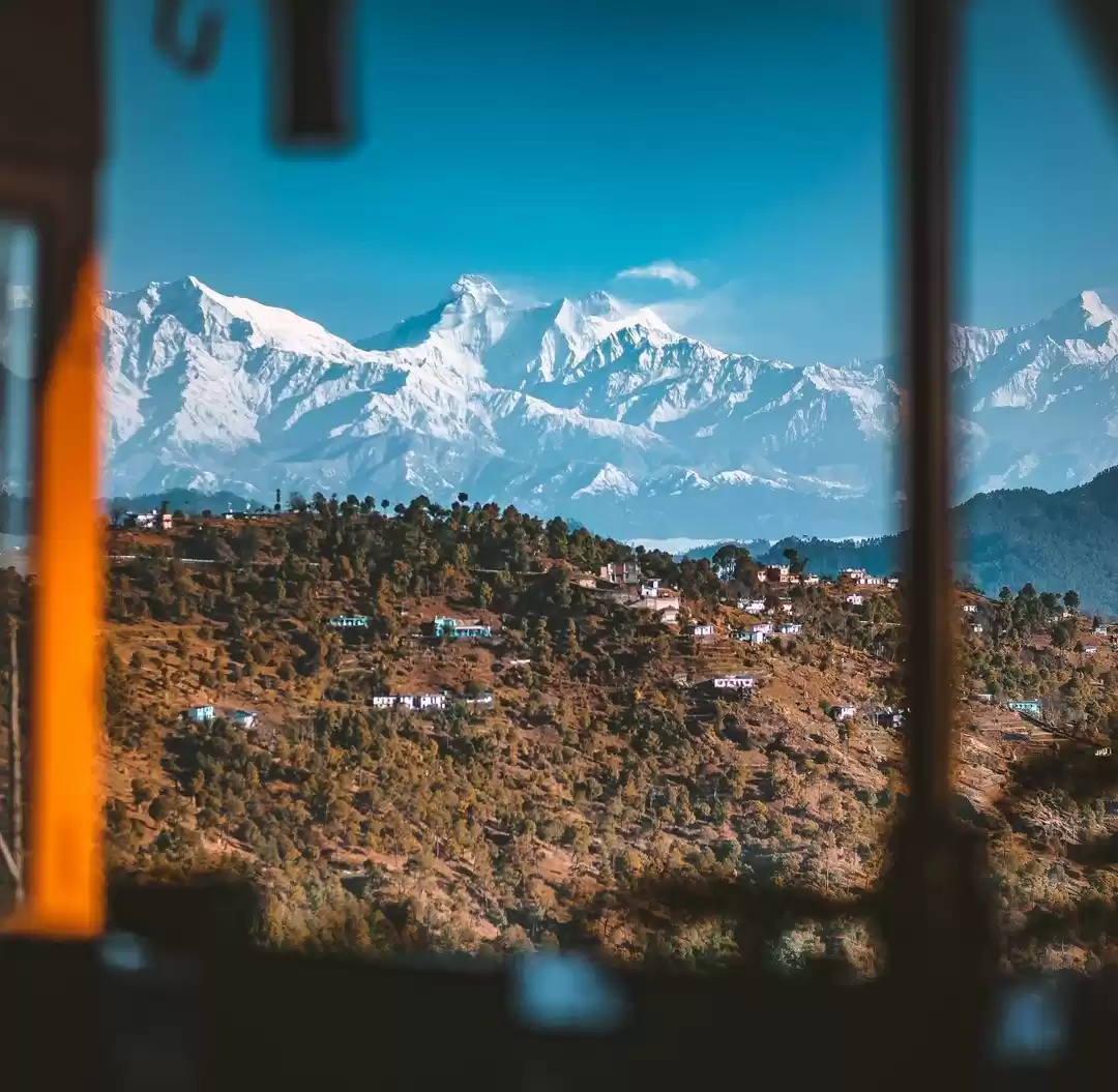
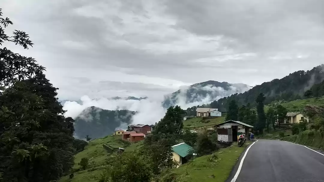
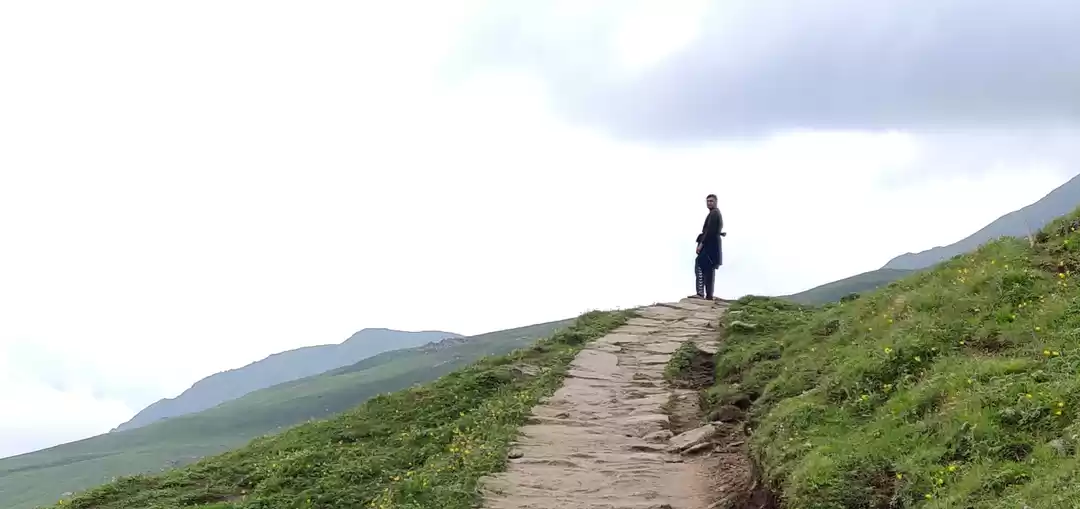
After an year-long of waiting and planning, it seemed to be happening at last, the Roopkund Trek. Needless to say, Roopkund is nothing less than a roller coaster ride. The trail cuts across villages, dense forests and right to snow capped Mountain peaks.
After some research my friend Abhishek Bansal & I decided to undertake this "trip" with TTH - Trek the Himalayas which, in retrospect, was a good decision. These people are pretty professional, friendly and superbly helpful. Highly recommended.
Dear readers, the Roopkund Trek is definitely not a walk in the park. Please make sure you are physically fit to undertake this journey because this Trek gains intensity with each passing day. Training at least a month prior to your D day is strongly advised.
Well then, this is how my trip was.
Roopkund Trek | Base Camp | Lohajung (7,662 ft) | Trek the Himalayas | Day 01
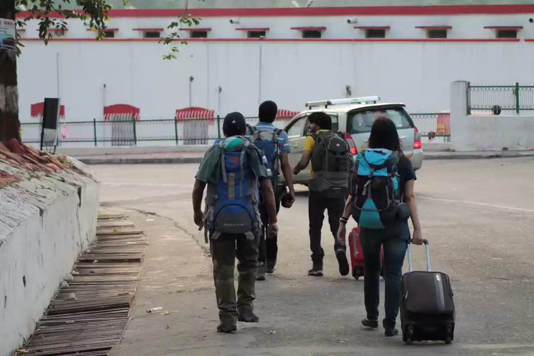
Our assembly point was Khatgodam Railway station. After meeting rest of the Team Members we hopped in our cars and drove off to Lohajung. With a few pit stops on the way, we reached Lohajung by 5:00 pm. By 8 in the evening the whole group gathered and our briefing began. Readers, make sure you pay utmost attention to your briefing sessions because that is what will keep you alive and going for the next few days. Our briefing started with simple introductions and if anyone had any prior experience in trekking. In my case, I did Kheerganga and Triund before this but I was assured that they hardly count. You see, High Altitude Trekking is a different ball game altogether. During our briefing sessions TTH made sure they covered every aspect of the Trek, from terrain, day-wise weather, apparel to safety measures. In High Altitude Treks you have to make sure that you are covered in layers (clothing wise). Two layers are for reasonably cold weather and four to six layers are for extreme conditions. Our Camp leader explained that in a Trek Team you will have a Trek Leader who keeps shuffling from the front slot to the ones at the back, one Trek Guide who will lead the way as they are well versed with every nook and corner of the route. Lastly the Sweeper, his job is to make sure no one is left behind. Our batch had Ameet Sir as Trek Leader, Pushkar Sir as Trek Guide and Kalam as Sweeper.
Few important pointers here. TTH made it very clear that if they found anyone smoking or drinking they will be asked to leave immediately. There was some logic to it. What we all heard about drinking Brandy or Rum keeps you warm is an utter farce. Alcohol in reality dehydrates you, one might feel good in the night while having it but in the morning you will feel tired and lethargic. So exercising restraint is quintessential.
Roopkund Trek | Lohajung (7,662 ft) - Didna Village (8,045 ft) | Trek the Himalayas | Day 02
I woke up at around 4:30 am in the morning. Excitement just didn't let me sleep. Up there weather remains the most elusive element. From scorching sunlight to dense fog to unforgiving downpour, weather is incredibly unpredictable. After a hefty breakfast and a group photo we began our march. On the first day you cover around 7kms. First day's ascend gives you a pretty realistic idea of what's going to follow. Following a marked trail we reached Didna Village around 1:00 pm.
Once we threw down our bags and had water, it struck us; this is some intense stuff and holy cow this was just day one!!!. After everybody made it to the camp, lunch was served. We went out with our TL Ameet Sir in the evening to collect some wood for bone fire but of course, weather had a different plan altogether. It rained throughout the night.


Roopkund Trek | Camp 02 | Didna Village (8,045 ft) - Ali Bugyal (11,320 ft) | Trek the Himalayas | Day 03
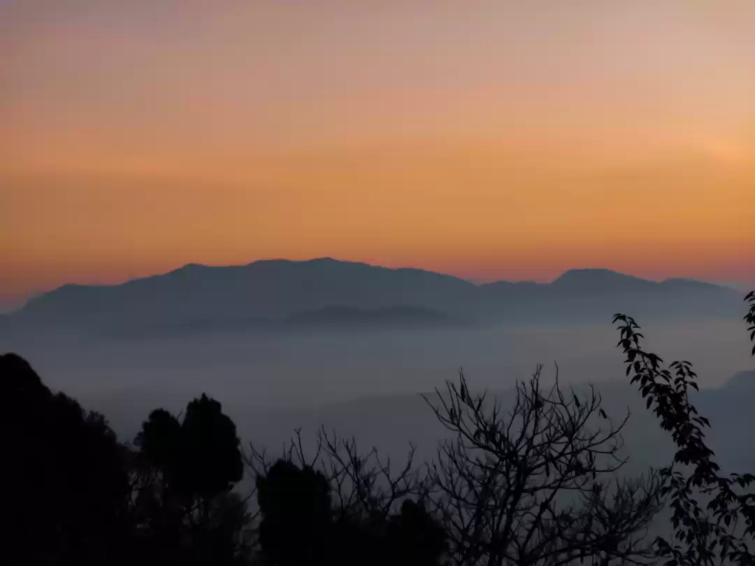
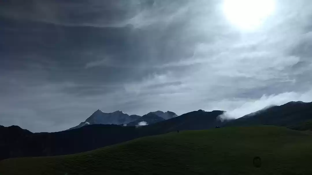
After a heavy downpour, we woke up to a giant earthworm infestation. No, they will not bother you much but will definitely gross you out. But the view that welcomes you in the morning will make up for everything. There is heaven on Earth and for me it is in the Himalayas. The place where Clouds, Mountains and the Sun create an unbelievable symphony of beauty, a pure visual treat.
Brace yourself this will be a day to remember. As the routine goes, after breakfast and a group photo we started our ascend. In my experience this was the toughest day. You start from the bottom of the mountain and literally make it to the top. Technically Didna is the last village on your route. Trail from Didna to Ali Bugyal is pretty intense and almost unrealistically steep. To make it more interesting, the clouds chose to pour some rain on our way.
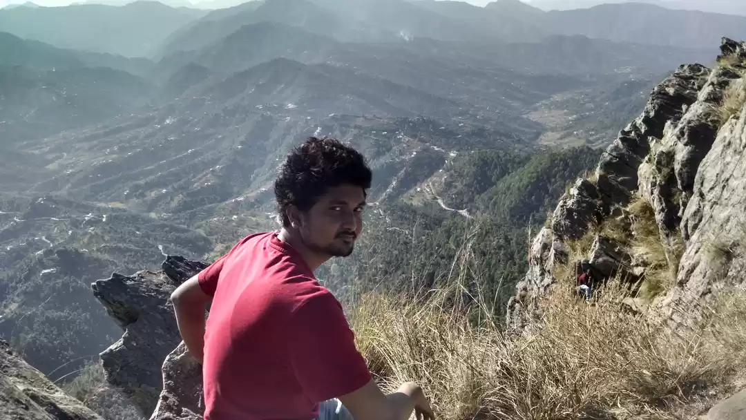
Ok, here is a confession. During this day, as strenuous as it got, each one was at his own pace. I did weigh my bag carefully before leaving Delhi. It was around 11Kgs and after adding 2 liters of water it touched about 13Kgs. Doesn't sound much but trust me it was killing me up there. When we stopped for a water break I said it to my friend Abhishek, "Bro, there are chances I might not be able to make it, it's like a Mountain on my back". Encouraging as he always is but with a slight pinch of sarcasm, my friend motivated me to go on. Feeding me dry fruits and helping me adjust my bag, he did what he could. I tried my level best to carry on but there was this one point when doubt seeped in. I really wasn't sure whether I was going to make it. I was all alone at one point and could not see anyone ahead or behind. I was pretty sure I was on the right track but my bag kept killing me. I read few articles before I started training for this trek. Ladies and Gents, dead lifts and squats are a must, especially when you plan to carry your bag. But despite my preparations, I was drenched in sweat from top to bottom and walking in the rain over damp leaves and narrow edges was just making it worse. I almost slipped a few times. That's when I decided to drop my bag. That's right, literally swing it across the cliff. So you can imagine my plight. I have no intention of scaring you but trust me Roopkund Trek challenges you at every level physically, mentally and emotionally. So there I was, calculating what was important and I jumped to a conclusion that all I needed now was water and my heavy jacket. Rest seemed like dead weight. Believe me I took of my bag and the moment I started unzipping it, I heard TL Ameet Sir call my name and realized he was right behind me. **** Few seconds and my fear would have conquered me. Judging by my physical state he suggested we take a water break and wait for the ones behind us. We sat down and chatted for a bit. He shared where all he had trekked and narrated stories about the famous Chadar Trek, where the trail lays over the frozen Zanskar river. After the break and with few words of encouragement I started again. Finally huffing and puffing we reached the ridge of the Mountain, where a Rhododendron Forest stood welcoming us. We had our lunch at the edge of the forest, while it was raining and we made our way to Ali Bugyal.


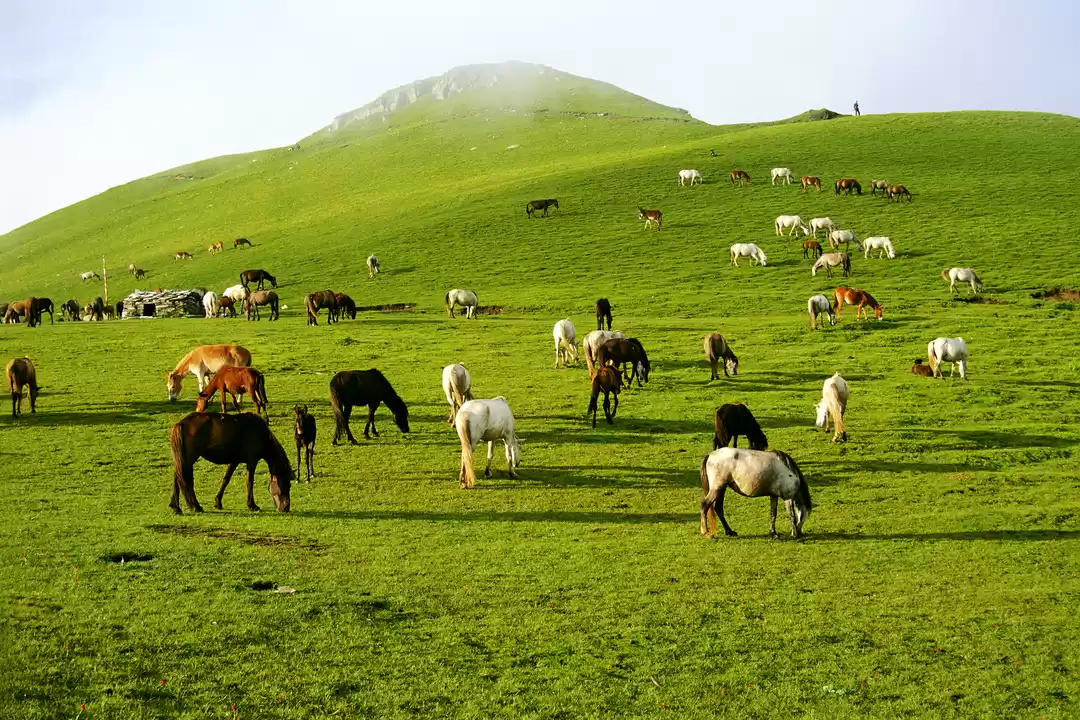
So after the most demanding and strenuous 11Kms, the Mountain decided to reward us with Ali Bugyal, Asia's largest meadow. Stunning, mesmerizing and incredibly beautiful are just few words that describe Ali Bugyal. Vast lands with tiny grass carpeted over it, Ali Bugyal is an absolute beauty. Words just fail to describe what we saw there. When we stood at Ali's doorstep all the pain and strain seem to vanish.

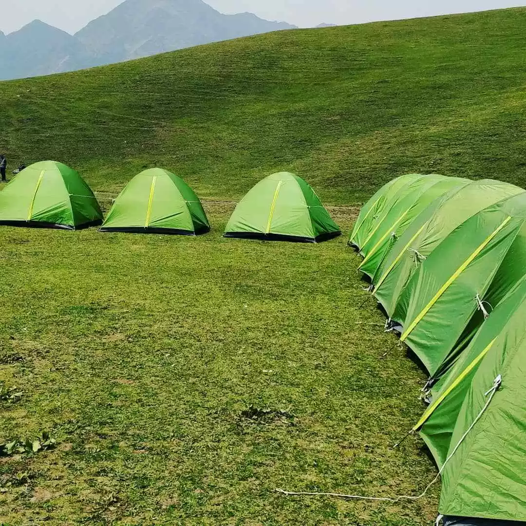
We reached our camp slowly savoring every bit the vast grasslands had to offer. After dumping our rucksacks at the camp we rested for about an hour. We stepped out to explore the meadows armed with our ponchos and walking sticks. At the maggi point in the Bugyal, we clicked few pictures and shared our bit of the peril we just endured. As the Sun decided to call it day, we made our way back to the camp.


Dinner was served right underneath the full Moon. One of the locals narrated the story of Roopkund Lake and how all the places surrounding it were named. I am not sharing that here, so please go for this trek and find it for yourself. As we crept into our sleeping bags, it started raining. Lightning and roaring clouds were enough to scare the wits out of everyone in the camp but we endured.
Roopkund Trek | Camp 03 | Ali Bugyal (11,320 ft) - Patar Nachauni (12,818 ft) | Trek the Himalayas | Day 04
Breakfast was a treat. After an entire night of merciless rain the weather finally cleared and a huge portion of the Mountain range was visible. Here is an another interesting thing about the Himalayas, with ever changing weather every view is different. If you missed a sight once then chances of seeing it again are bleak.


Today was relatively a relaxed day. After thanking the Camp team at Ali Bugyal we started our trek towards Patar Nachauni. It is a gradual trail giving enough time to click pictures and admire the terrain. From this day onwards you will feel a slight drop in oxygen level. Once you leave the tree line behind the oxygen level starts dropping. AMS and headaches are a constant threat from this point on wards and hydration is the only way to counter it.
As planned, we reached Patar Nachauni by lunch. After occupying tents, our team members decided to play cricket. Cricket at 12,000 Ft is what they called it. In the evening we trekked a little higher to acclimatize. We were handed disposable bags and the idea was to look for plastic/trash dropped by not so responsible people. It started raining again by 7:00 pm. Massive downpour and booming clouds kept us from sleeping but our tired bodies caved in eventually.


Roopkund Trek | Patar Nachauni (12,818 ft) - Kalu Vinayak - Bhagwabasa (14,117 ft) Summit Camp | Trek the Himalayas | Day 05
We got up early. Everyone in the team had finally gotten into the rhythm of things. We started for Bhagwabasa, our Summit Camp around 8:00 am. Within an hour of the trek you will fell a sharp drop in oxygen. Breathlessness and fatigue were the challenges for the day. The solution was hydration and taking baby steps. The ascend was very steep and the trail got narrow at too many points. From here it was more of a mental game than a physical challenge. I learnt something new that day. Camphor helps a lot with breathlessness. I confess I am unaware of the science behind it but you bet it works. Take a handkerchief and put some camphor in it. Rub it a little and keep sniffing it. Instant relief!!!!
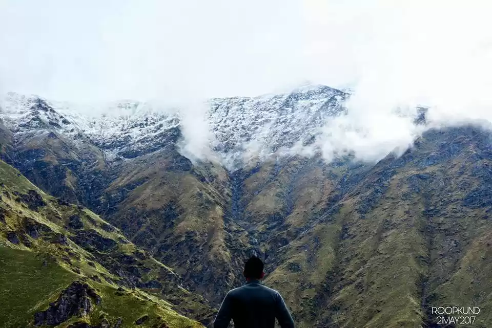
We reached Kalu Vinayak and as usual our Trek Guide Pushkar Sir had reached there way before us. He looked pretty impressed with our team. He declared that his entire team is going to make it Roopkund Lake, 100% Summit he said. After everybody arrived at Kalu Vinayak, we prayed for safety and success for our team. It was overwhelming for everyone. This was the first time Pushkar Sir told us about a place few hundred meters above Roopkund. They called it the Junargali Top. Despite all our research before the trek, we never came across any place with that name. He assured it was the crown jewel of this trail cause Junargali Top had the best view in town. Standing on the peak of the Mountain you come face to face with Mt. Trishul (23,000 ft) and few other peaks of the range.


After a few cups of tea and maggi we started our trek to Bhagwabasa. And what do you know, another downpour. By the time we made it to Bhagwabasa we were already drenched despite our ponchos and raincoats. After we assembled at the Diner Tent our Camp Leader congratulated us. Making it from Didna to Bhagwabasa was a task in itself.
Today's briefing was crucial. My intention is not to scare you here but to just narrate my experience. You see Gents, once you are up at those heights, things get unpredictable and in case of any unfortunate event, getting help takes time. Our Camp Leader made it very clear that this was point where one could back out. Making it till Bhagwabasa was an achievement in itself because now what follows is pretty much in the danger zone. We were then introduced to the Tech Team, they were to make sure that everyone summits safely. We were warned about few sections where rocks and boulders are a bit loose and slowing down or taking pictures wasn't allowed till the summit. Pushkar Sir selected the sequence of our Team for the summit. With ladies leading our way, we were to march without breaking ranks. Oh yeah, during all this while it was still raining outside. The meeting was dismissed after crampons were handed over to us.
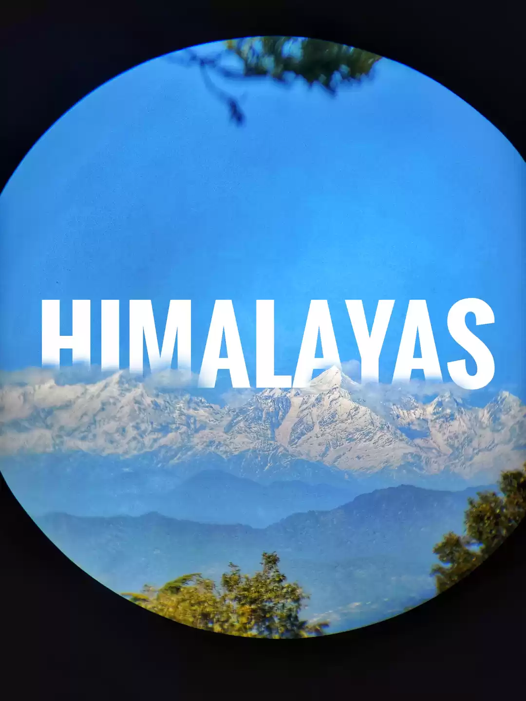
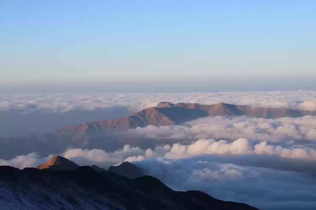
Abhishek and I stepped out to have some eggs and tea. We had a lot to discuss and plan it through. The idea was to carry minimum weight, so we started counting the things we needed to drop. After which we sat sharing our experiences with the locals and making narrative videos with Baljeet and Jay, our team members. By evening the rain stopped and lo hold, there they were, the Majestic Himalayas, sitting in their eons old tranquility. The rain had cleared the entire the range, Mt. Neelkant, Mt. Nandagunti, Mt. Trishul and several other peaks were visible. With Sun setting in the background and glowing snow covered peaks it was a sight to witness. I stopped clicking pictures at one point as I realized my camera will never be able to capture what I was witnessing at that moment. The magnanimity of those mountains blankets one's senses rendering them in an overwhelming state.


Speechless and in awe, we had dinner and dozed off by late evening. Our camp was to break by 3:00 am the following morning.
Roopkund Trek | Bhagwabasa (14,117 ft) - Roopkund Lake (16,000 ft) - Junargali Top ( 16,500 ft) | Summit Point | Day 06
The D day was here. After a quick cup of tea our team assembled. The camp broke by 3:30 am and we began our march. In pitch darkness, with torches and headlamps we marched. Like my friend Abhishek said, the entire game is about the last 500mts. Because when you approach the last 500mts that is when you realize why they asked you to sign a Waiver Form in the beginning. Sub zero temperature, howling wind, steepest trail and several mental break points is what the trail throws at you today. Gripping fear of death and spikes of adrenaline is what it takes you to realize that Heaven is a myth but the Himalayas are for real.
I almost fell three times thanks to the slippery patches on that glacier. During the last few meters you do face a breakdown point because those few steps are truly an embodiment of the phrase "stepping out of your comfort zone". After climbing for few hours we finally reached the Lake. We actually made it. Roopkund Lake has very different vibe to herself. There she sat, a huge water body in a perfectly circular form and completely frozen. The silence of that lake is almost deafening.

But wait!!! this wasn't enough, Junargali was yet to be conquered. After a few quick bites of apples and chocolates we reassembled. For the record, before this I had never in my life used ropes to climb. This wasn't steep, this was like climbing a towering frozen wall of rock and ice. After putting on crampons and saying a few silent prayers, we marched again. Our Tech team kept yelling instructions, that the rope we were holding was our only lifeline. If you miss it, well..., you get a firsthand experience of how gravity works. I think it took us almost half an hour to make it to the top. It was by far the longest half hour of my life. At Junargali Top an unbelievable sight awaited us. Standing on the razor edge of the Mountain you come face to face with Mt. Trishul and her three summit points. It was like entering a timeless zone where only the moving clouds connect you to the physical realm of reality. That day I understood the word "SUMMIT" in its entirety. After clicking pictures we sat for a few minutes trying to absorb the sight. A large approaching cloud marked our descend. This is the tricky part and I kid you not, this is where it gets really risky. Accidents are more likely to happen during descend. After treading carefully, sinking our crampons deep in the snow the whole team made it back to the Lake. By god we made it, we actually did Roopkund and Junargali Top.


Breakfast was served at Roopkund Lake, porridge at 16,000 ft. After an hour or so we started our descend. There was a section where I almost slipped on ice but it was Pushkar Sir who helped me out. Thanks to him or else I wouldn't be writing this. We made it back to our Summit Camp safe and sound with the whole team accounted for. A lot of people had headache by the time they reached summit camp. We were assured that it was pretty normal as spending time at those heights and lack of oxygen AMS is inevitable, the idea is not to succumb to it. After packing our bags and a quick lunch we left for Patar Nachuani. Our camp leader at Patar Nachauni congratulated us for our victory. After walking for so many days and covering so many kilometers we finally did it.
Roopkund Trek | Patar Nachauni (12,818 ft) - Wan - Lohajung (7,662 ft) | Trek the Himalayas | Day 07
We started early today, by now it was habit for most of us. We had to cover 14kms and being a steady descent it was mostly pleasant. We crossed Bedni Bugyal bidding farewell to the most meadow in the world. We unpacked our lunch at Neelganga river where dipping our legs in the icy cold river while hogging on parathas and boiled eggs was a different level of indulgence. We reached Wan by late afternoon and Pushkar Sir made sure we stopped at a temple in Wan where a local deity is worshiped. At Wan our cabs were already waiting for us.
We reached our final camp Lohajung by late evening and our debriefing started. We partied all night sharing our experiences and more importantly making plans for future treks. On completion of such arduous endeavor we deserved a souvenir, apart from the pictures, memories, scratches and bruises of course. So TTH gave us a Certificate of Accomplishment.
It says SUMMITEER.


