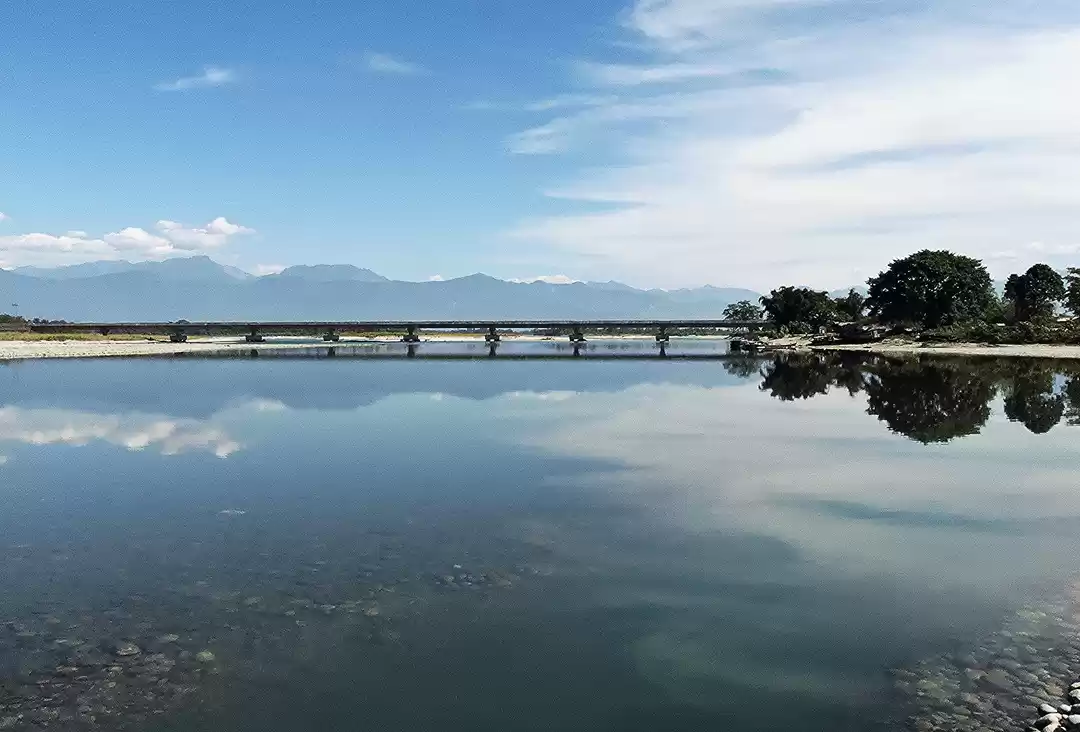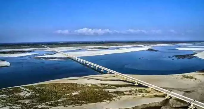

India's longest road bridge - the Bhupen Hazarika Setu, connecting Dhola and Sadiya ports across the river Lohit in Assam.

Before the bridge begun operations, ferries were the prime source of transportation for people in the Dhola-Sadia regions and Eastern Arunachal Pradesh,

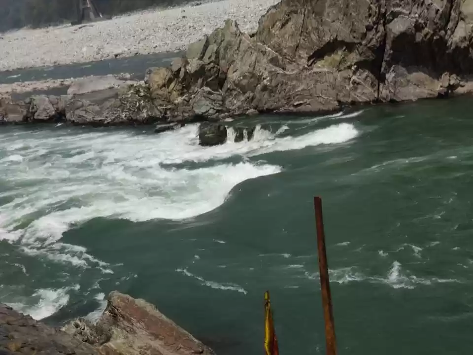
Fisherman get ready to cast their net in the river Lohit near the town of Dhola in Assam.

A hawker selling sandals at the lower bazaar in Roing.

Eastern Arunachal is famous for the sweet nectar-like oranges that grow in the region. Here is a woman selling her produce from her farm near Dambuk.

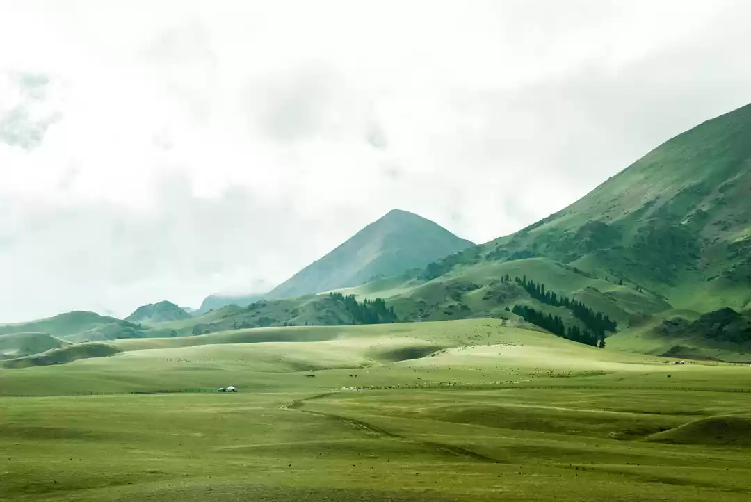
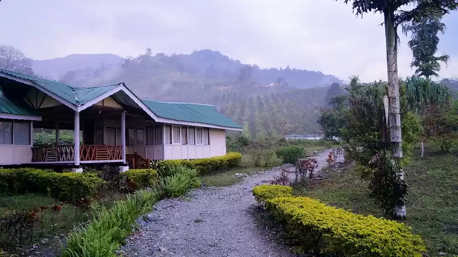
Sally Lake is a lush water body, just on the outskirts of Roing.

A walk along the lake's bank is sufficient to relax a weary mind.

The banks are lined with Indian gooseberry trees.

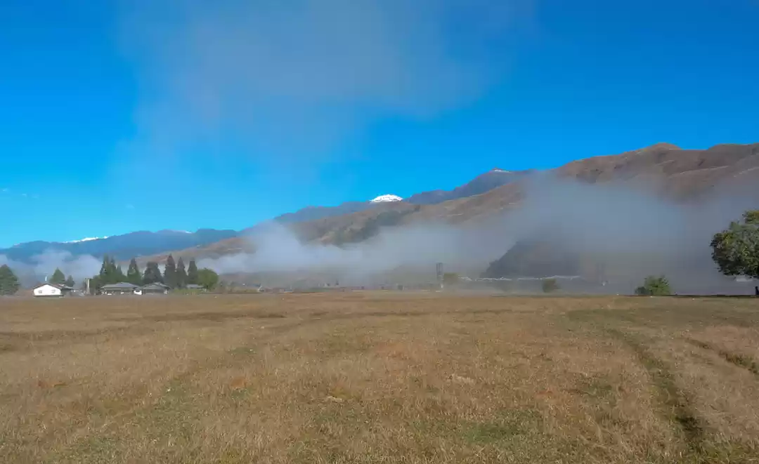
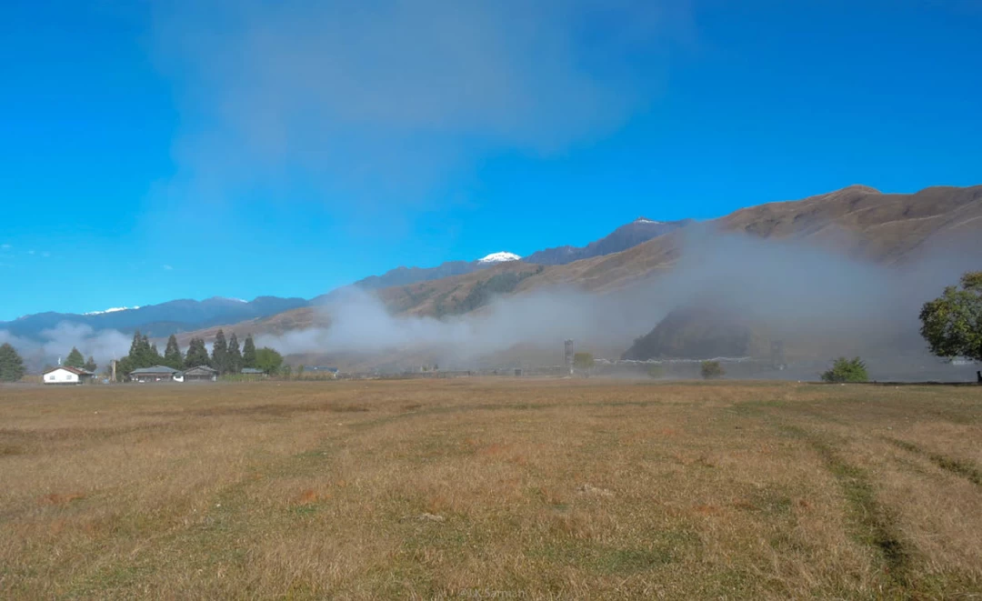
Mayodia Pass offers a glimpse of the snow-clad peaks of the Upper Dibang District. Located 55 kilometres north of Roing, the pass is at a height of 2560 metres from sea level.

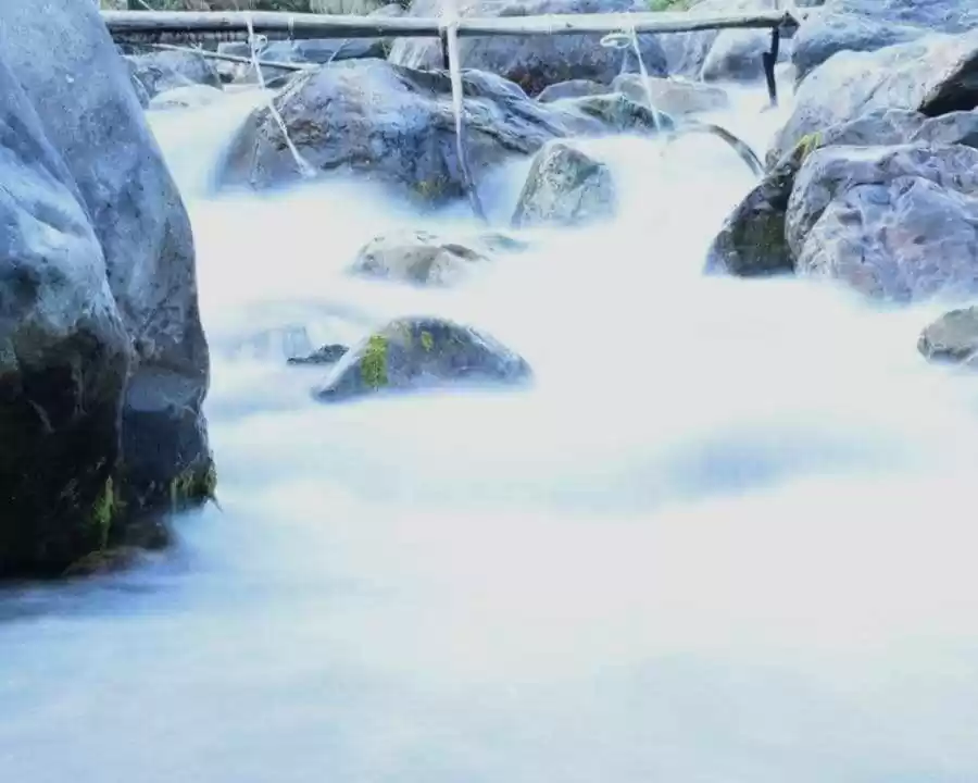
Crossing a st reamon the way to Tezu from Roing.

Newly laid tarmac makes for smooth driving from Roing to Tezu.

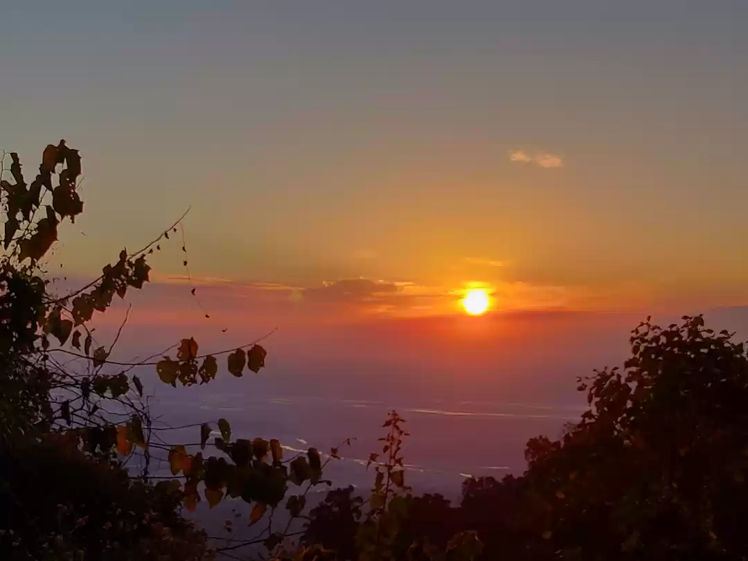
Sunset at Parshuram Kund over the river Lohit.

The Indian government and Border Roads Organisation are working swiftly to connect all parts of Arunachal to Assam. This newly built road connecting Roing and Pasighat is among of of those endeavours.

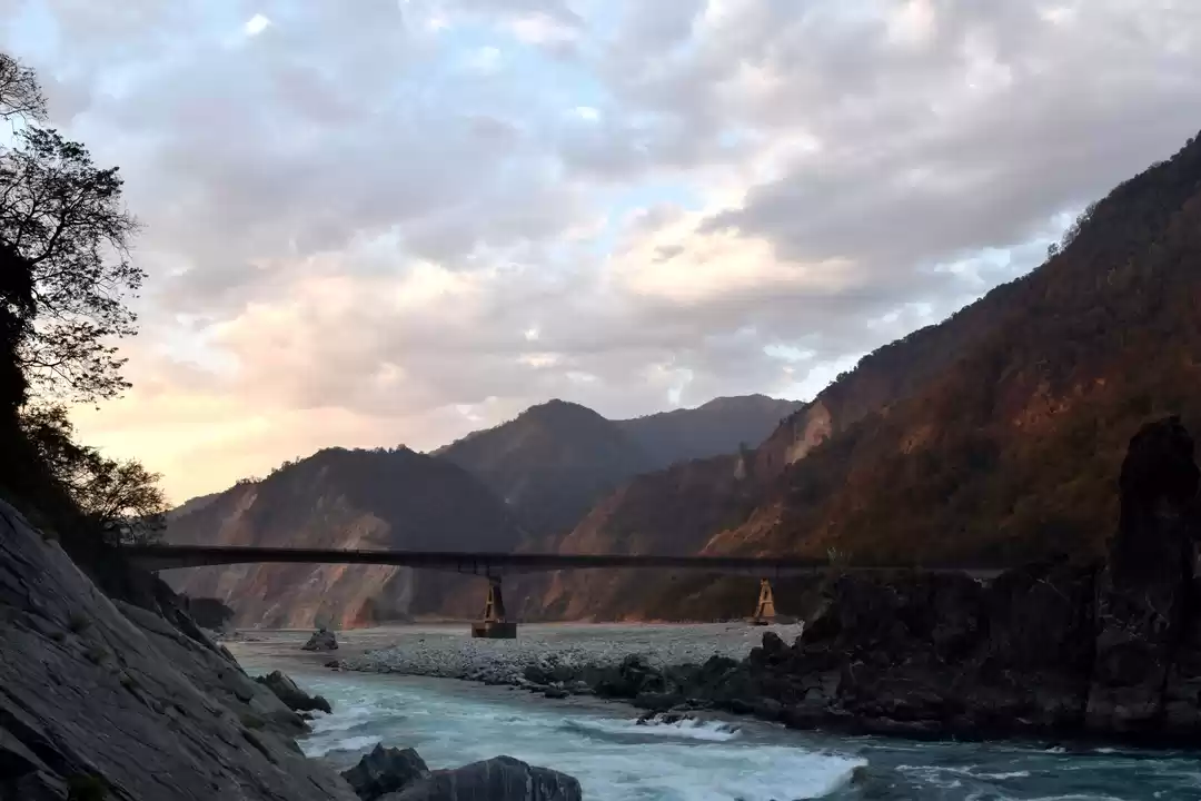
The six-kilometre bridge across the river Dibang near Bomjir in Arunachal Pradesh. It was incomplete at the time of our travel, but opened in the months soon after.

The incomplete bridge meant people had to cross the dry river bed on the sides. The ferries' crew were well adept at handling cars of all sizes.

These ferrymen wait all year for the dry season to ferry cars across the river. The upcoming bridge will end that source of income for these people.

Passengers have to take two ferries across the Dibang, a journey that takes nearly an hour to complete.

he sheer expanse of the Dibang river is fascinating.

People cross the river in the ferry.

Drivers have to cross another dry river bed en route Pasighat.

Crossing the Siang (Tsangpo) river near Pasighat in Arunachal Pradesh. During our trip, we crossed all the three major rivers that join to form the Brahmaputra river - Lohit, Dibang and Siang.


' fill='%23359391'%3e %3cpath d='M46.1538462%2c43.5714286 L41.5%2c50 L36.8461538%2c43.5714286 L36.8670256%2c43.5714286 C36.3173077%2c42.7142857 36%2c41.6851429 36%2c40.5714286 C36%2c37.4854286 38.4535641%2c35 41.5%2c35 C44.5464359%2c35 47%2c37.4854286 47%2c40.5714286 C47%2c41.6851429 46.6826923%2c42.7142857 46.1329744%2c43.5714286 L46.1538462%2c43.5714286 Z M41.4294872%2c39 C40.6150641%2c39 39.9487179%2c39.675 39.9487179%2c40.5 C39.9487179%2c41.325 40.6150641%2c42 41.4294872%2c42 C42.2439103%2c42 42.9102564%2c41.325 42.9102564%2c40.5 C42.9102564%2c39.675 42.2439103%2c39 41.4294872%2c39 L41.4294872%2c39 Z' id='Location-white'%3e%3c/path%3e %3c/g%3e %3c/svg%3e)