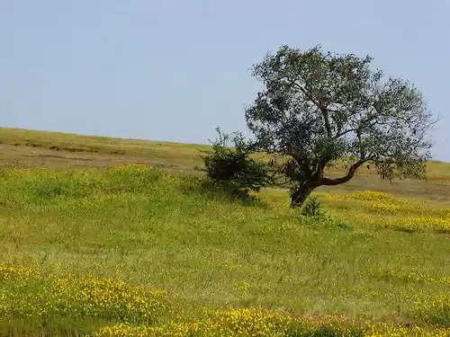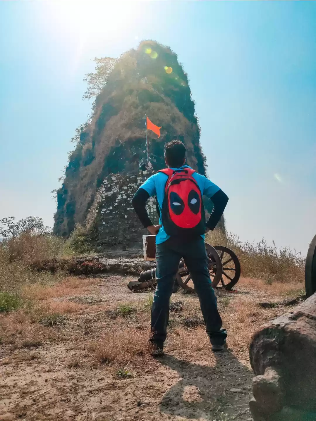

Easy Treks in Monsoon
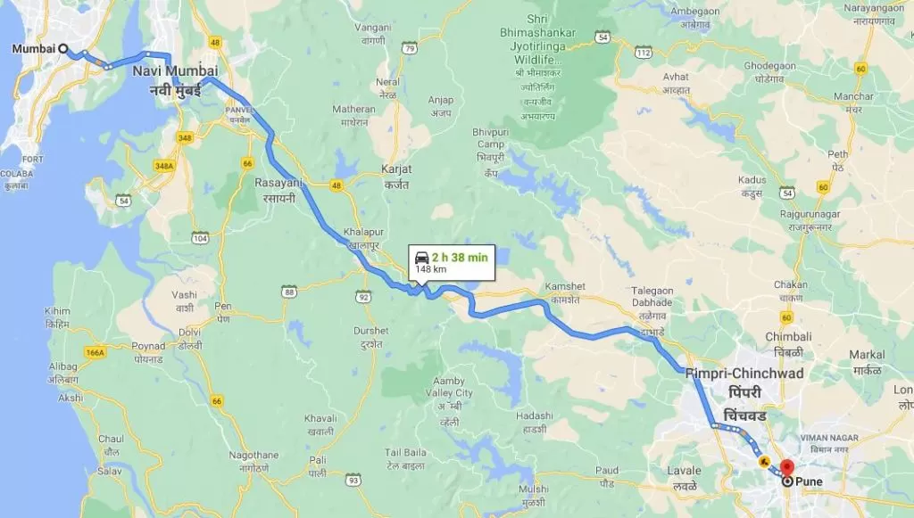
Monsoon season is for trekking and visiting waterfall. Who all don't love rain...?? Everyone does.This blog is for trekkers and wander who would like to go out in rain and trek to many hills and fort in monsoon Treks in monsoon to forts or hill give you good amount of natural air,nature love,waterfall and good photos of Landscapes.Try out this all Trek to do in Monsoon.Karnala FortFort Height:- 3100 ftWho Can do this Trek:- Beginners/Solo Travellers/First Timers/Kids/College Group.Endurance Level:- EasyFort Range : Panvel,PenDistrict: RaigadGrade : Easy to MediumKarnala bird sanctuary which is very famous for bird watching locate in the premises of Karnala fort.Karnala Fort lies in Panvel area near Pen, which is 90-100 km from Mumbai.One can trek in one day and come back home.Fort is huge and can see old highway from top.
Lohaghad FortFort Height:- 3100 ftWho Can do this Trek:- Beginners/Solo Travellers/First Timers/Kids/College Group.Endurance Level:- EasyFort Range : LonavalaDistrict: Grade : Easy
Lohagad is one of the easiest trek in Lonavala. Its sturdy walls, gigantic gates, and stone-cut stairs form a unique design that can be observed from above.The 'Vinchu kata' or the scorpion's tail-like structure of the fort is what sets it apart from other forts in the vicinity. Ancient Buddhist caves of Malawli and Bhaje can be seen on the way to the fort. Lohagad Fort is situated in Lonavala and can be accessible after a trek from its base village- Lohagadwadi.
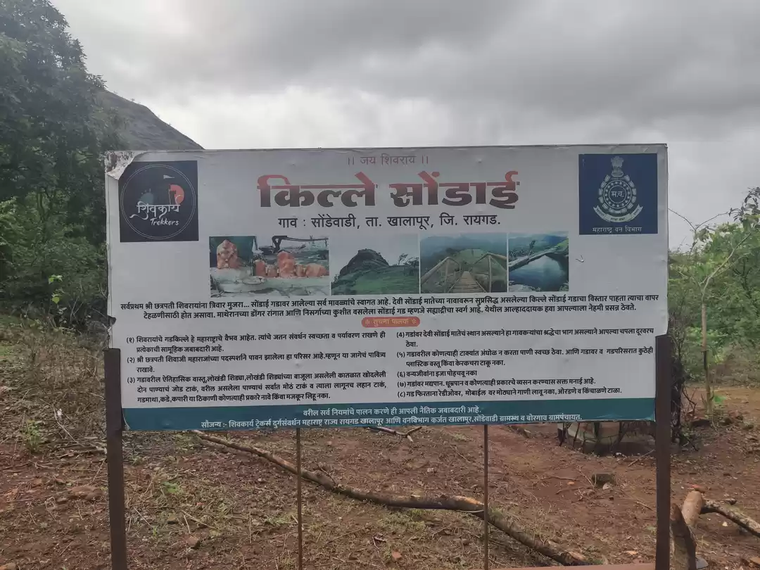
Kothalighad Fort( Peth Fort)Fort Height:- 3100 ftWho Can do this Trek:- Beginners/Solo Travellers/First Timers/Kids/College Group.Endurance Level:-Fort Range : KarjatDistrict: RaigadGrade : Easy to MediumKothaligad is known as fort of Peth Fort.Peth is situated at its base. The pinnacle of the Peth can be seen from the village. It looks like a filed surface. On reaching the top of the fort, we see caves carved in huge rocks. A flat floor and well-sculpted pillars are speciality of the cave. Along the Bhairoba cave, steps are carved leading the pinnacle.
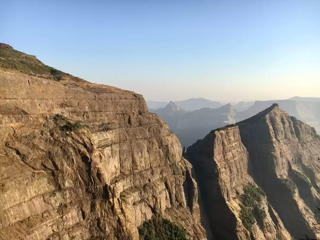
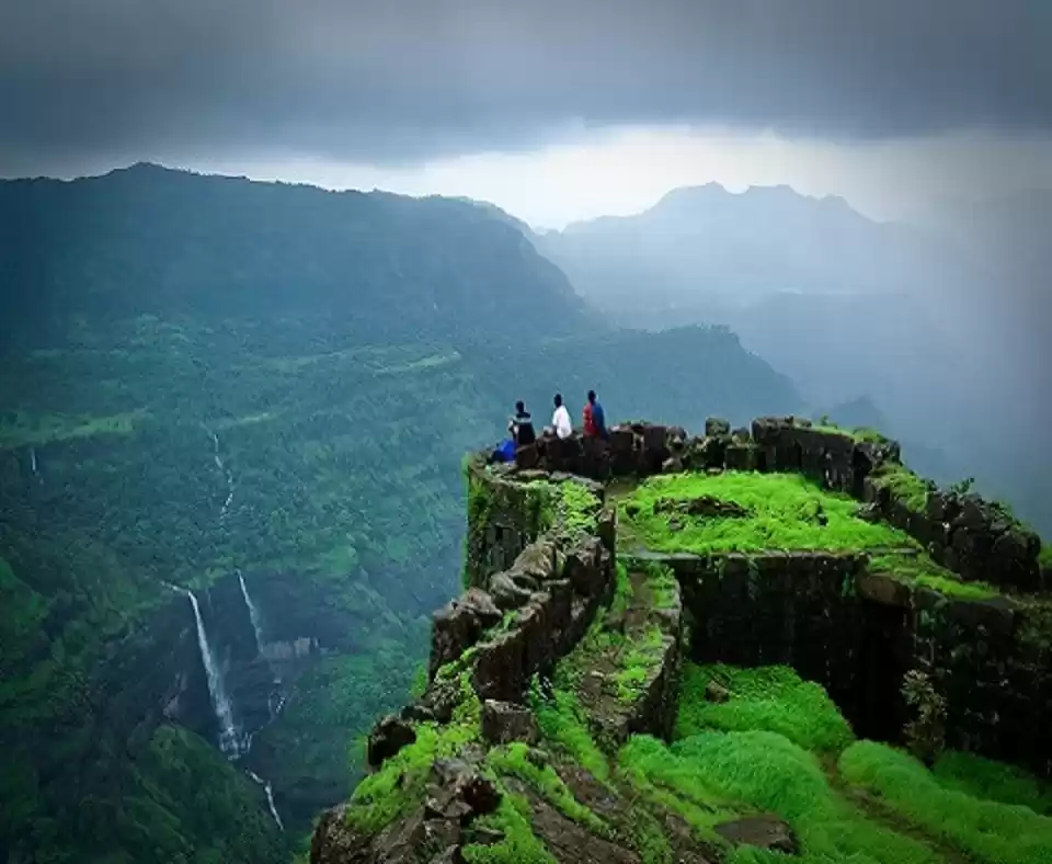
Rajmachi FortFort Height:- 3100 ftWho Can do this Trek:- Beginners/Solo Travellers/First Timers/Kids/College Group.Endurance Level:-Fort Range : KarjatDistrict: RaigadGrade : Easy to MediumRajmachi (Udhewadi) is a small village in the rugged mountains of Sahyadri in Maharashtra. The fortification at Rajmachi consists of two forts, namely Shrivardhan Fort and Manaranjan Fort. Rajmachi Fort is a popular trekking destination. It is a very famous fort located near famous hill stations of Maharashtra, Lonavala and Khandala. Historically, Rajmachi fort was a strategic fort to control Borghat (ghat between Khopoli and Khandala on Mumbai-Pune route) which was a historical trade route. The fort played a strategic role in the First Anglo-Maratha War. Rajmachi Fort has been declared as a protected monument.Visapur Fort Fort Height:- 3100 ftWho Can do this Trek:- Beginners/Solo Travellers/First Timers/Kids/College Group.Endurance Level:-Fort Range : KarjatDistrict: RaigadGrade : Easy to MediumVisapur Fort is located 5 to 6 km from Malavli Railway station out of which 3 km is steep road. It has an elevation of 1084 meters above sea level. It is built on the same plateau as Lohagad.Making use of its higher elevation and proximity to Lohagad, the British troops set up their cannons on Visapur and bombarded Lohagad, forcing the Marathas to flee.Kalsubai Trek:- Highest Peak of MaharashtraFort Height:- 3100 ftWho Can do this Trek:- Beginners/Solo Travellers/First Timers/Kids/College Group.Endurance Level:-Fort Range : KarjatDistrict: RaigadGrade : Easy to Medium
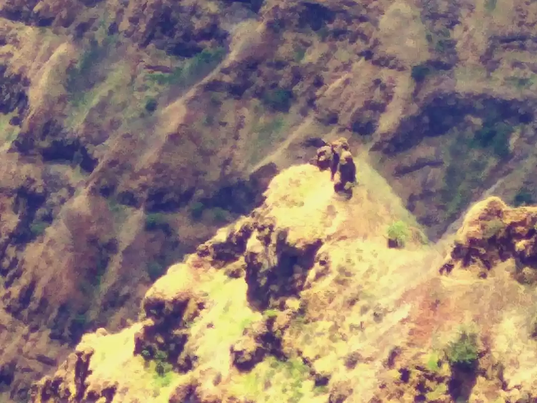
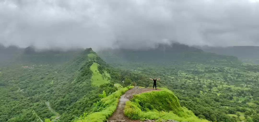
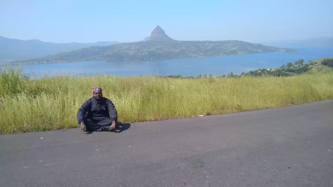
Kalsubai ( Marathi: कळसूबाई शिखर) is a mountain in the Western Ghats, located in the Indian state of Maharashtra. Its summit situated at an elevation of 1646 metres (5400 feet) is the highest point in Maharashtra.The mountain range lies within the Kalsubai Harishchandragad Wildlife Sanctuary. It is visited throughout the year by avid trekkers, Kalsubai temple devotees and wildlife enthusiasts alike.Kalsubai is a 6.6 km long trek with an elevation gain of around 2700 ft. This is a one day trek having a moderately hard difficulty level with lush green landscapes and multiple waterfalls. The peak attracts many trekkers and devotees determined to scale the mountain. To reach the summit there are well designated trekking routes. The most popular route is through the eastern mountain face taking off from the base village Bari.
' fill='%23359391'%3e %3cpath d='M46.1538462%2c43.5714286 L41.5%2c50 L36.8461538%2c43.5714286 L36.8670256%2c43.5714286 C36.3173077%2c42.7142857 36%2c41.6851429 36%2c40.5714286 C36%2c37.4854286 38.4535641%2c35 41.5%2c35 C44.5464359%2c35 47%2c37.4854286 47%2c40.5714286 C47%2c41.6851429 46.6826923%2c42.7142857 46.1329744%2c43.5714286 L46.1538462%2c43.5714286 Z M41.4294872%2c39 C40.6150641%2c39 39.9487179%2c39.675 39.9487179%2c40.5 C39.9487179%2c41.325 40.6150641%2c42 41.4294872%2c42 C42.2439103%2c42 42.9102564%2c41.325 42.9102564%2c40.5 C42.9102564%2c39.675 42.2439103%2c39 41.4294872%2c39 L41.4294872%2c39 Z' id='Location-white'%3e%3c/path%3e %3c/g%3e %3c/svg%3e)