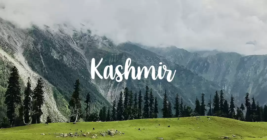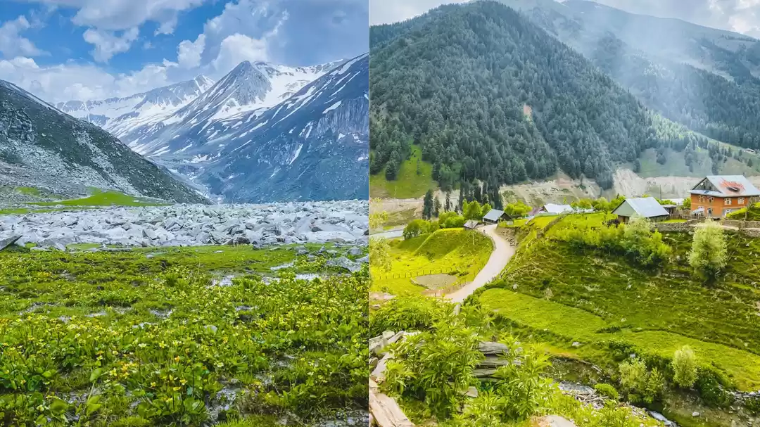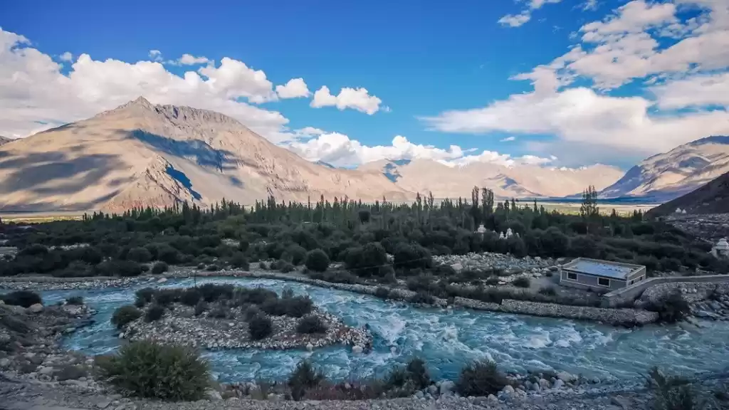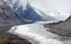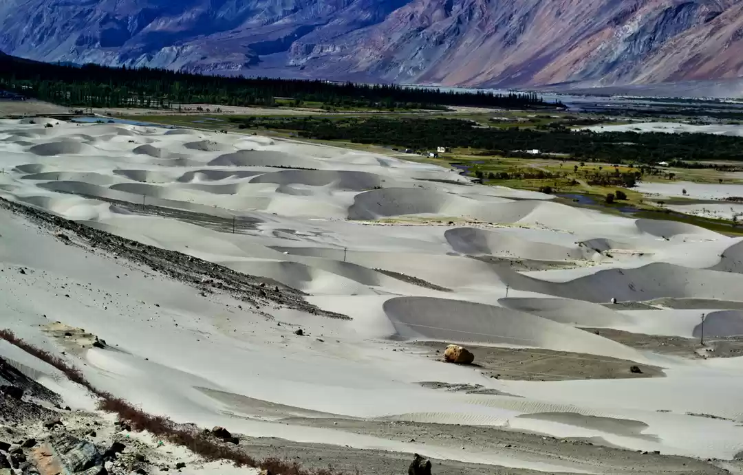

The Nubra Valley in the Karakoram Himalaya is a glacierized valley with around 33 valley glaciers of varying lengths and widths. Glaciers cover almost two-thirds of the basin’s entire area. This well-known glacier is an excellent example of a compound & piedmont glacier.
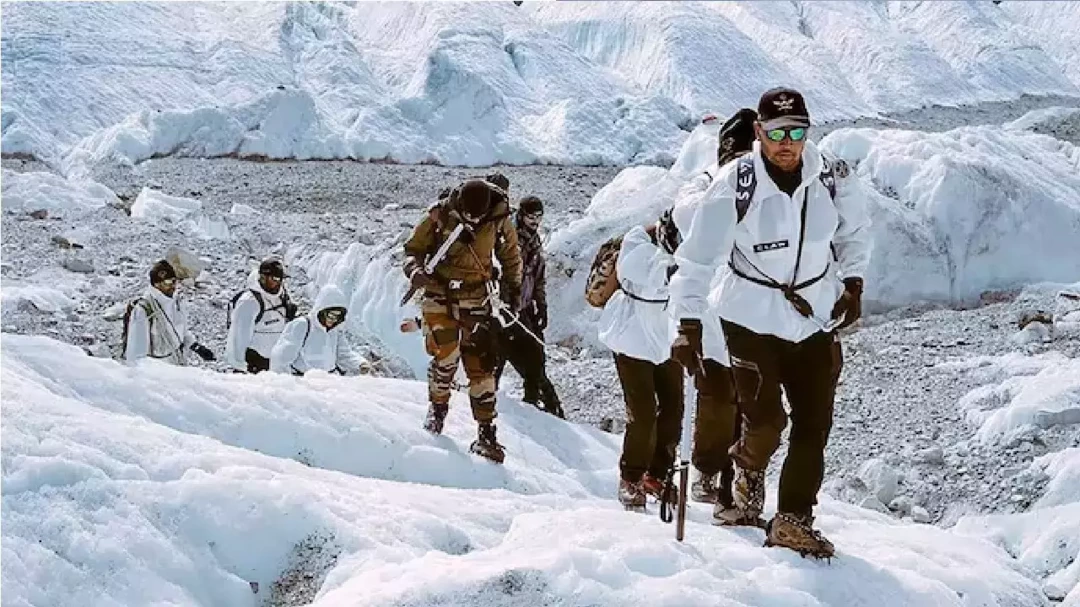
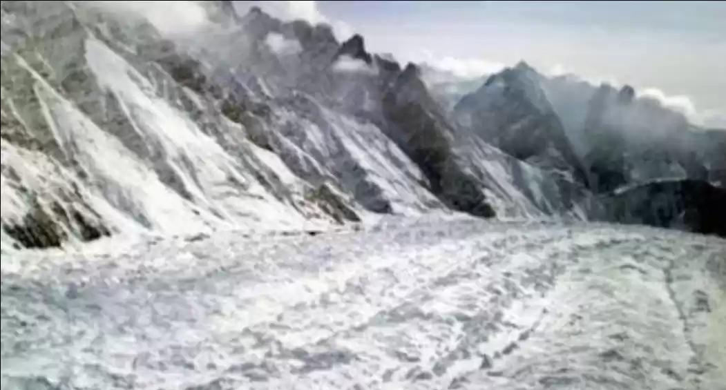
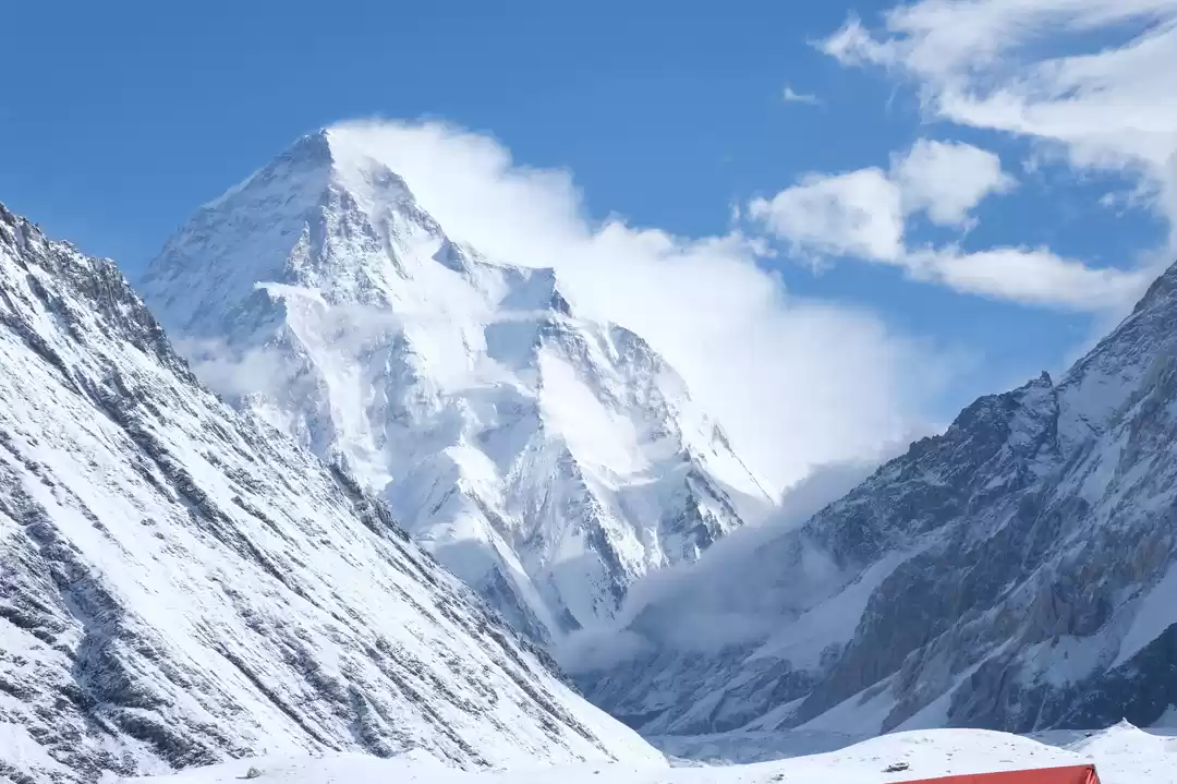
Siachen Glacier is one of the world’s longest mountain glaciers, stretching 44 miles (70 kilometres) from north-northwest to south-southeast in Kashmir’s Karakoram Range range near the India–Pakistan boundary. It features many fast-flowing surface streams as well as at least 12 medial moraines. It is the headwaters of the Nubra River, a 50-mile-long tributary of the Shyok, which is part of the Indus River system.
Since 1984, the whole Siachen Glacier, including all key crossings, has been administered by India (now as part of Ladakh’s union territory in the Kashmir region). However, Pakistan remains a territorial claim to the Siachen Glacier. It dominates the area west of Saltoro Ridge, located west of the glacier, with Pakistani positions situated 3,000 feet below 100 Indian posts.
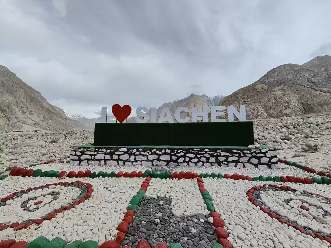
The highest battleground in the world
The war in Siachen is caused by the region’s map’s incompletely defined boundary. Following the 1971 Indo-Pakistan war, the two nations struck an agreement in 1972 known as the Shimla Agreement, although it neglected to specify who owned the glacier. UN authorities assumed that there would be no conflict between India and Pakistan over such a cold and desolate territory. They were mistaken. Pakistan dispatched expeditions with licences given by the Government of Pakistan in the 1970s and early 1980s under the guise of climbing the high peaks on this glacier. The goal was to strengthen the area’s claim, as these expeditions arrived with authorization from the Government of Pakistan.
When the Pakistani army attempted to enter the region in 1984, India mounted a successful military operation and maintained control over the whole Siachen Glacier and its tributaries. Between 1984 and 1999, India and Pakistan had regular conflicts. However, severe weather conditions killed more soldiers in Siachen than hostile fire. Nevertheless, both India and Pakistan maintain a constant military presence in the region at over 6,000 m (20,000 ft), with thousands of troops stationed in Siachen.
Although a cease-fire was declared in 2003, the two sides had lost an estimated 2,000 soldiers at that time, primarily due to frostbite, avalanches, and other difficulties. The nations maintain around 150 outposts along the glacier, each with about 3,000 troops. Official numbers for sustaining these outposts in India and Pakistan are $300 million and $200 million, respectively. To serve its forces, India erected the world’s highest helipad at Point Sonam, 21,000 feet (6,400 metres) above sea level. On the glacier, India also built the world’s tallest telephone booth.
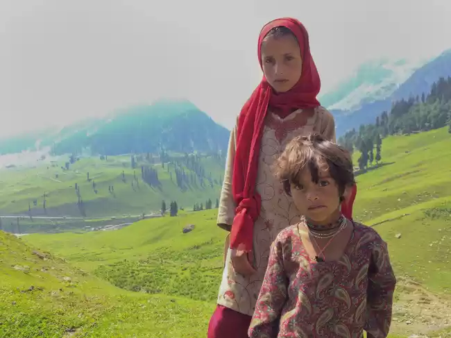
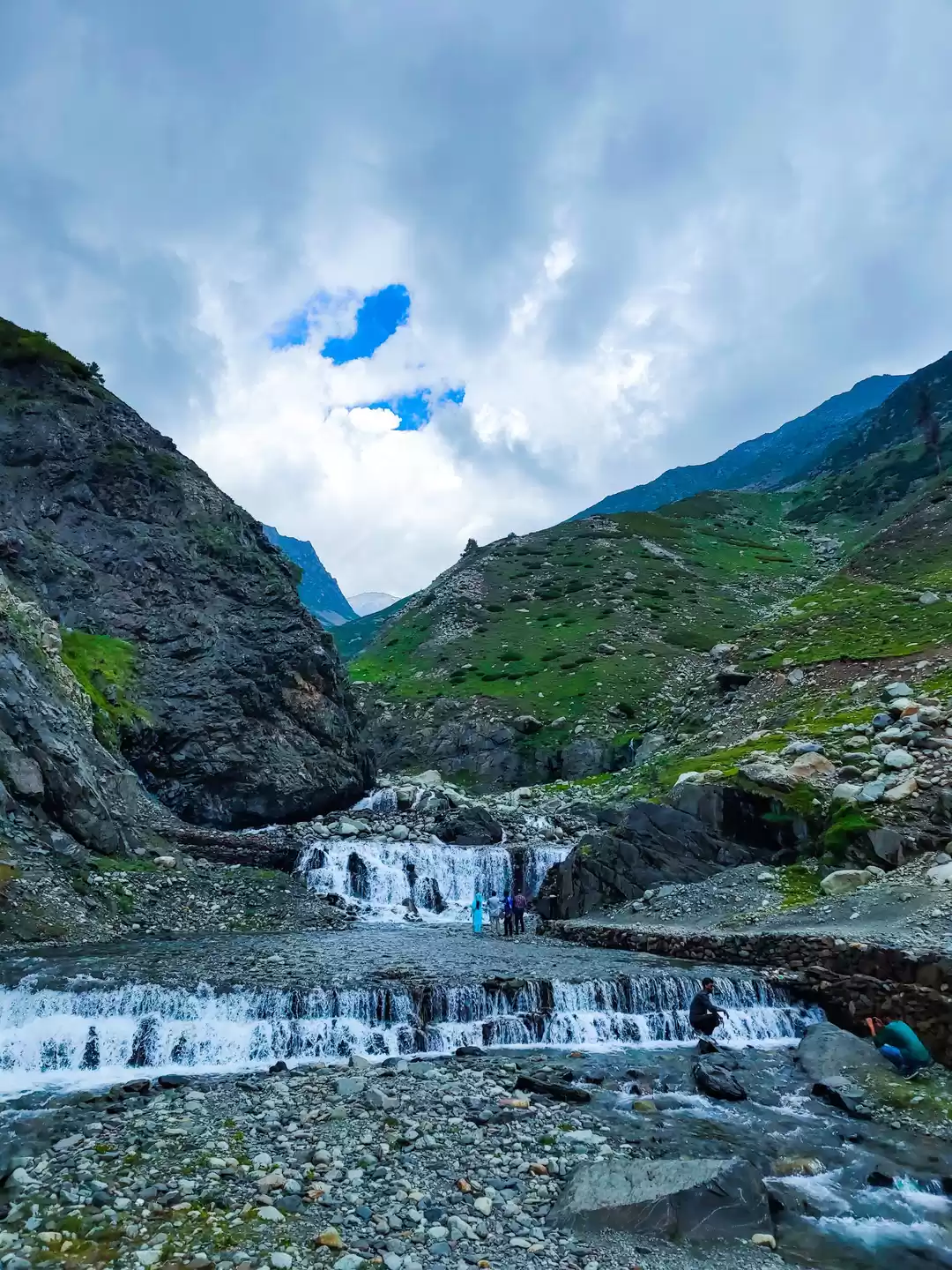
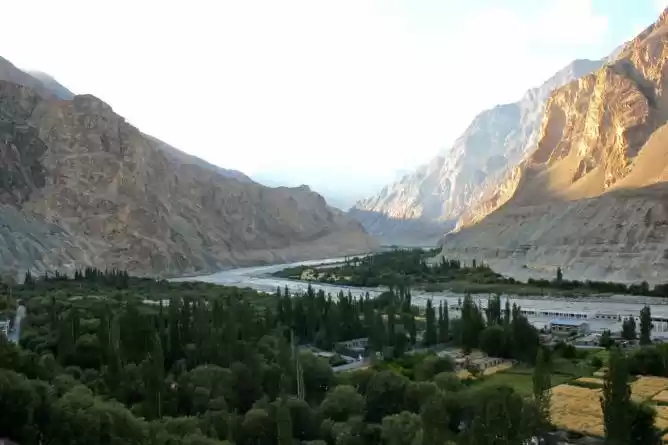
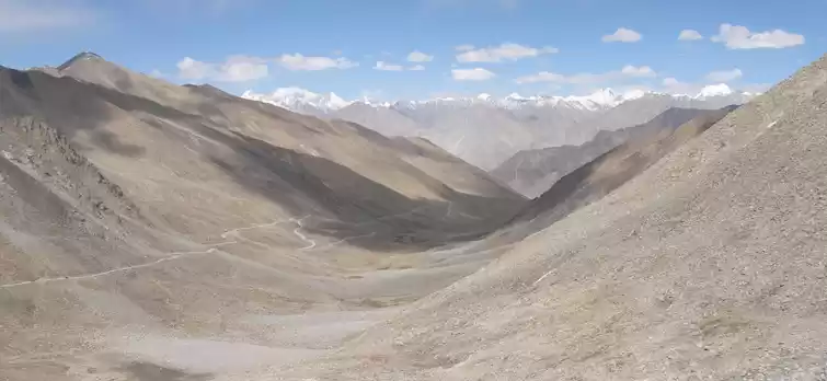
Aside from the military presence of India and Pakistan, the glacier region is unpopulated. The hamlet of Warshi is the closest civilian community, located 10 kilometres downstream from the Indian base camp. The part is also extremely isolated, with just a few roads connecting it to the rest of the world. On the Indian side, routes only run as far as the military base camp at Dzingrulma, 72 kilometres from the glacier’s summit.

' fill='%23359391'%3e %3cpath d='M46.1538462%2c43.5714286 L41.5%2c50 L36.8461538%2c43.5714286 L36.8670256%2c43.5714286 C36.3173077%2c42.7142857 36%2c41.6851429 36%2c40.5714286 C36%2c37.4854286 38.4535641%2c35 41.5%2c35 C44.5464359%2c35 47%2c37.4854286 47%2c40.5714286 C47%2c41.6851429 46.6826923%2c42.7142857 46.1329744%2c43.5714286 L46.1538462%2c43.5714286 Z M41.4294872%2c39 C40.6150641%2c39 39.9487179%2c39.675 39.9487179%2c40.5 C39.9487179%2c41.325 40.6150641%2c42 41.4294872%2c42 C42.2439103%2c42 42.9102564%2c41.325 42.9102564%2c40.5 C42.9102564%2c39.675 42.2439103%2c39 41.4294872%2c39 L41.4294872%2c39 Z' id='Location-white'%3e%3c/path%3e %3c/g%3e %3c/svg%3e)