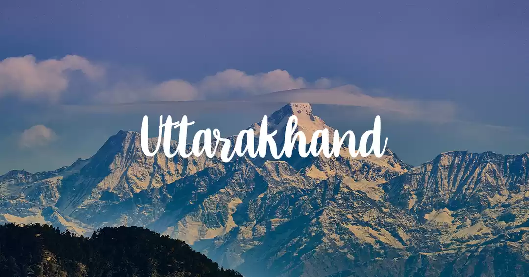
As far as scenic hill-stations go, people often flock to Himachal Pradesh, as the better known hill-stations in Uttarakhand are perceived, sometimes rightly so, as overcrowded. Other times people only ever hear about the pilgrimage sites that dot Uttarakhand, and these too, are forever caught in the continuous hustle and bustle of visitors. However, those who have visited Uttarakhand and dared to stray off the beaten track know well that Uttarakhand does not get the credit it deserves, and that for lovers of mountains, Uttarakhand can prove to be more than just a surprise.
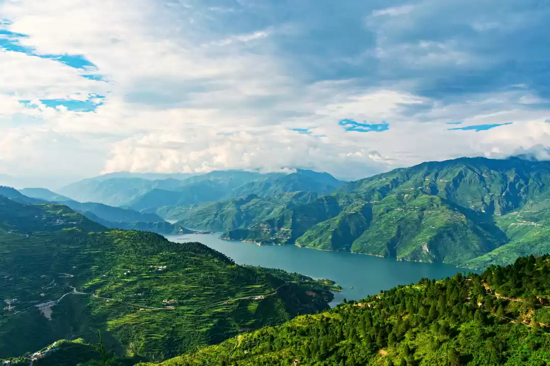
Uttarakhand's eastern half is known as Kumaon. A name taken from the Hindu Kingdom that used to be located in this region that had been ruled by numerous dynasties, it is also a name given to the people of these parts and their language and culture. Now it refers to an administrative division, but the history is still alive in this region and it's what gives the hill-stations here a unique and distinct identity. This is a trip through the Kumaon region; it is about exploring the hills and enjoying the journey as much the destination.
This trip mentions quite a few places and treks, but it isn't really time-bound. Travelling by buses most of the time gives you the advantage of extending or shortening your stay in a particular place, or leaving it out to be completed in another episode; it is all up to you. The bus network in Uttarakhand though lacking in a few things, covers almost all of the places, or at least helps shorten the distance of your hike to some others. And since they run daily and are very cheap, they make travelling quite simple.
One thing I dislike, when I travel to the hills is to be hurried, or have a checklist of places to cover. I like nestling into a place for a few days, have a central position from where I can start off and return to. So in this trip, Almora, Pithoragarh and Munsiyari were places where I headed to, relying on the buses to get around to nearby areas for day trips or overnight stays depending on the distance and purpose. All the hill stations have options for cheap and good accommodation that provides the essentials - warmth, a comfortable place to crash and a toilet, without the frills that tend to burn a hole into your pocket. Plus, it also makes sense. If you're going to the hills to get away from it all, why would you pay to have it all along with you!
The northernmost railhead of the Indian Railways as far as the Kumaon region is concerned, Kathgodam is the springboard for your journey into Kumaon. You can come here by bus also, but the road trip isn't the smoothest and the overnight train journey provides the comfort and rest you would require before the battering of the bus journeys in the hills begin. Many of the hill-stations in India don't offer a blanket mobile or internet coverage, and keeping that in mind do buy a map of Kumaon from the station. It is easily available and very detailed! Kathgodam is a good place to have breakfast and freshen up before you catch your bus to Almora.

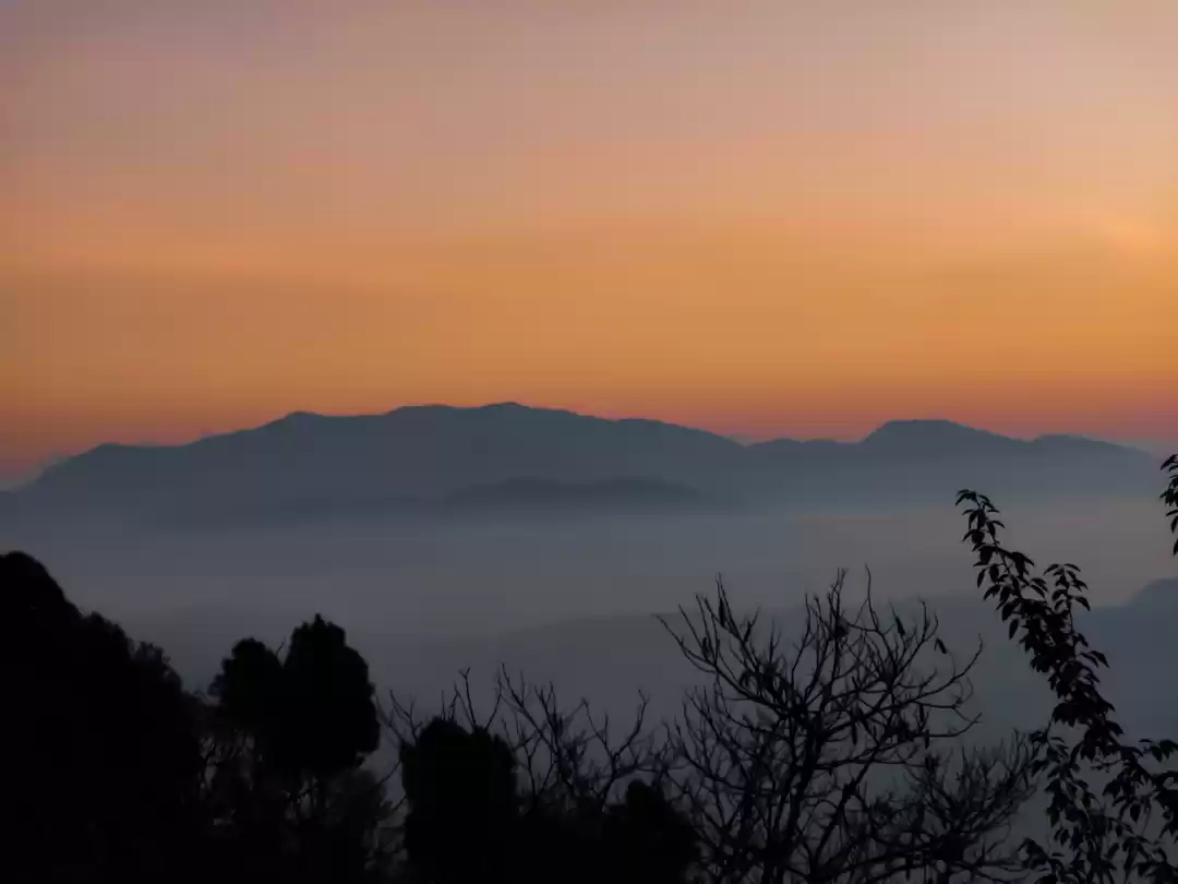
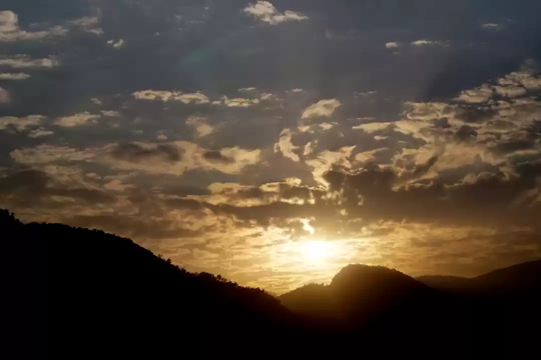
Buses ply to Almora from Kathgodam at fairly regular intervals and it takes just a couple of hours of driving through low but beautiful hills to get here. You also get a glimpse of Bhimtal en-route. Almora is quite big, and it’s a hill-station that wasn't developed by the British but by Kumaon Kings. This Kumaoni legacy is still apparent in the crowded bazaars, a good place to stroll through. Almora though crowded, still retains its natural beauty with some really good views of the mountains, especially at Bright End Corner, from where if you see the sun set, the hills and Almora seem bathed in Sepia.

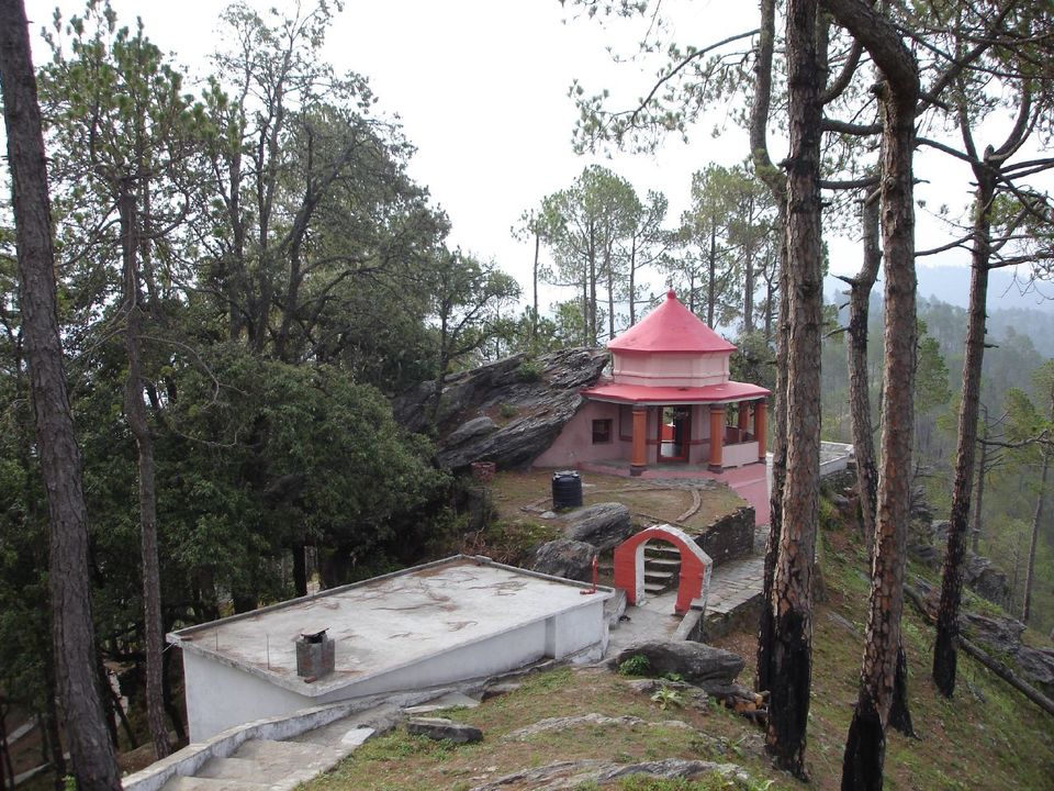
Almora is full of temples, some near some far. Kasar Devi temple is a pleasant and easy walk from Almora, some 7-8 KM away from the town. The temple here is old, dated back to the 2nd century AD. But the temple has a history that was made quirkier in the latter half of the 20th century when it became a spot on the map of the counter-culture movement or, hippies. Kasar Devi became a part of the international 'hippie trail', and has seen people like Bob Dylan, Allen Ginsberg, Timothy Leary, Robert Thurman and his daughter Uma Thurman (as a child) visiting here. As a result, it’s quite aptly called the 'hippie hill' and less often referred to as Crank's Ridge after Leary streaked through the place!

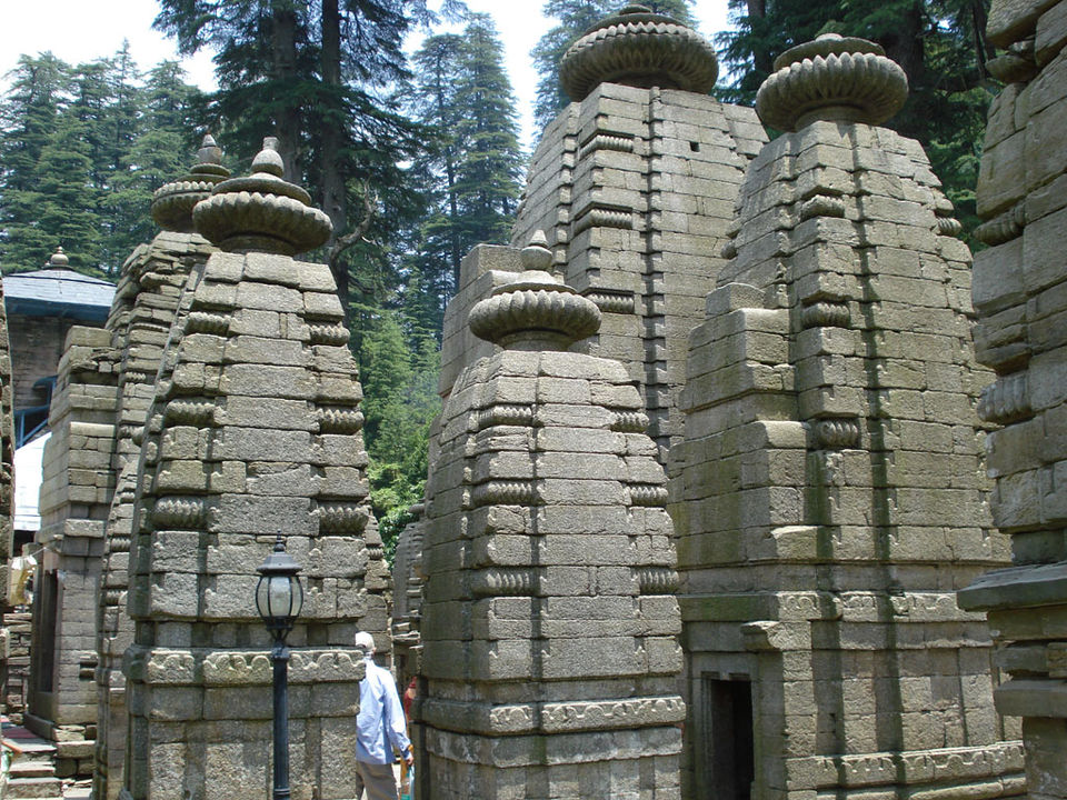
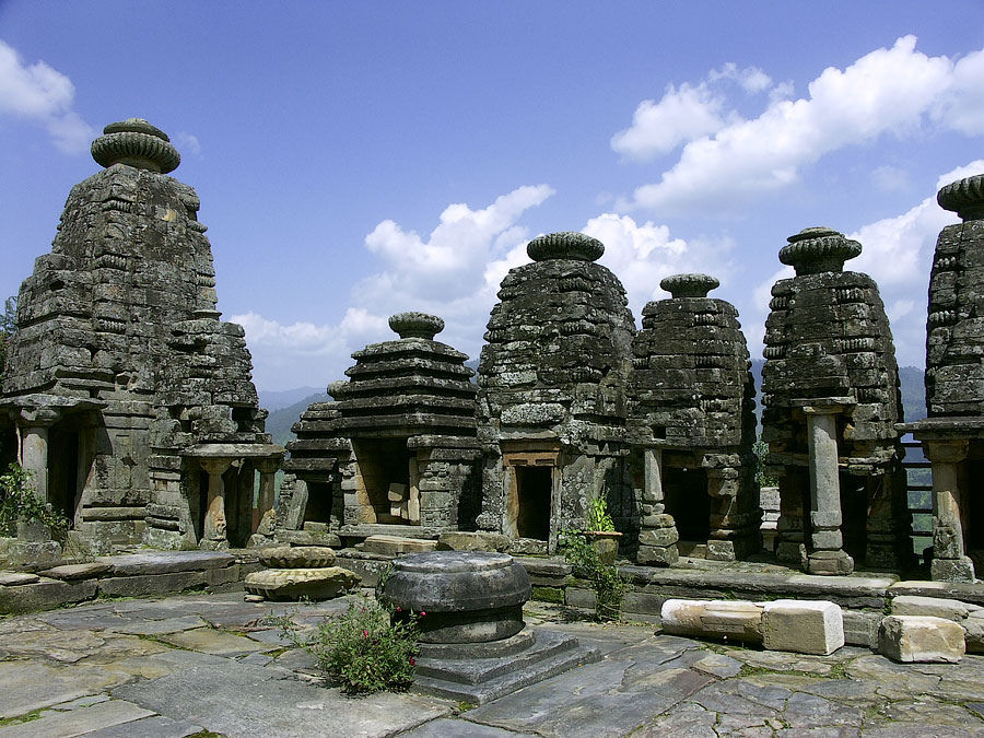
This is the second Sun Temple of India after Konark. A little known place, it is about 3-4 KM from Kosi, a town that you can reach easily by bus and then walk it to the temple. Though the temple has not been spared the ravages of time, it is nevertheless still beautiful, and the fact that it is nestled in the hills with no metaled road connecting it, it still remains calm and peaceful. Being a Sun Temple, the first rays of the sun are supposed to fall directly on Shiva's idol. But this would be an ambitious journey indeed. But even in the middle of the day, this crumbling, decadent structure has its own charm.

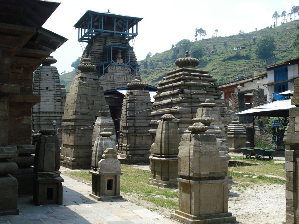
Jageshwar is not a temple, its a temple complex and if you want more than a cursory view of this place, spending the night here makes sense. With a 124 temples built over a period of 4 centuries from the 9th to the 13th century, all of which have intricate designs, inscriptions, and some structures, which are truly imposing. Walking through the complex with mountains as the backdrop, there are a few moments that instill quietude to the otherwise generally busy surroundings. To get to Jageshwar, take a bus bound towards Pithoragarh and get off at Artola from where you can leg the last few KMs. Jageshwar has cheap guesthouses and also a state provided lodging at the KMVN rest house.

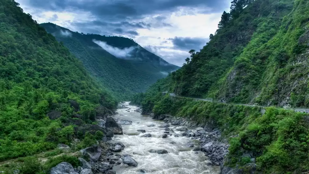
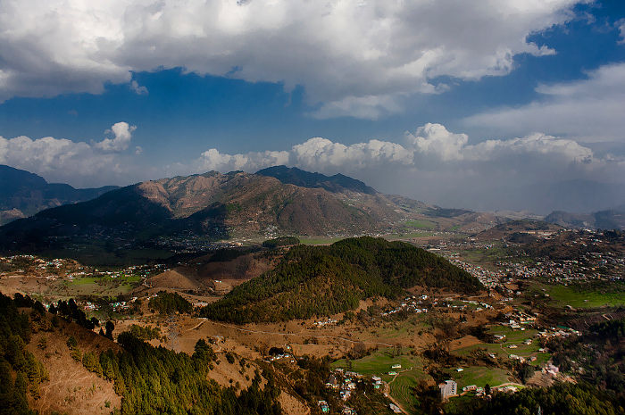
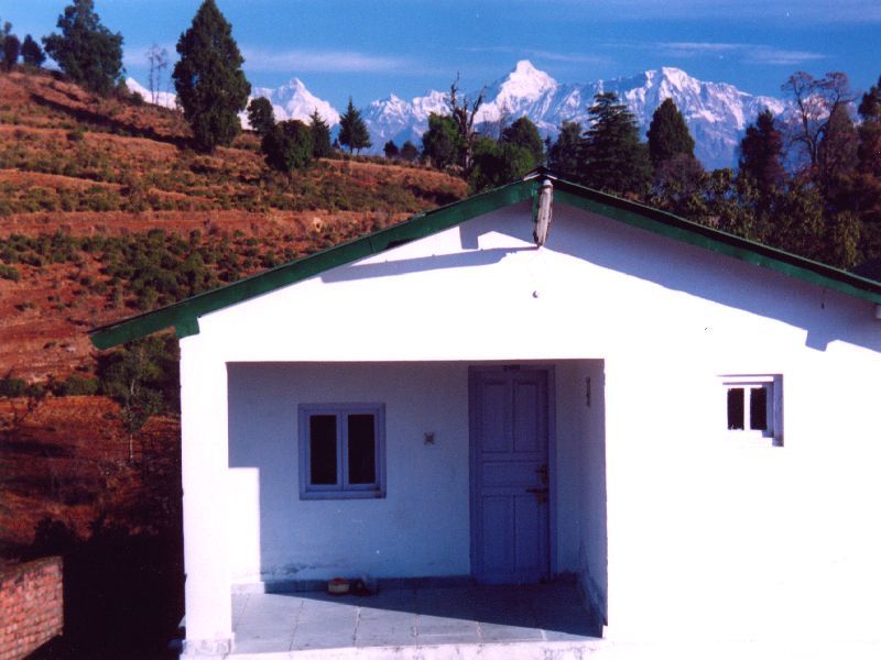
As you travel upwards towards Pithoragarh, towards the Indo-Nepal border the mountains become larger, the road narrower and traffic scant. You'll cross small Kumaoni villages, with small houses with blue windows and doors. Pithoragarh itself is a small town nestled in the valley under the shadow of the Panchachuli range. Apart from the Pithoragarh Fort built by the Gorkhas in the 18th-19th century, you'll have plenty of walks. The walk to Chandak which is roughly 8 or so KMs away is well worth the stunning views! There are cheap hotels, but at the price, the KMVN Ulka Devi Rest House has by far the best location!

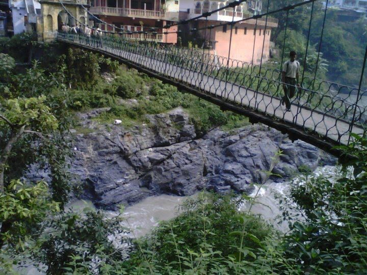
There are a few buses that head out to Jhulaghat which is right on the India-Nepal border. The river Kali separates the two countries. a suspension bridge hangs over the river and as an Indian you can cross into Nepal if you have the right documents like your passport.

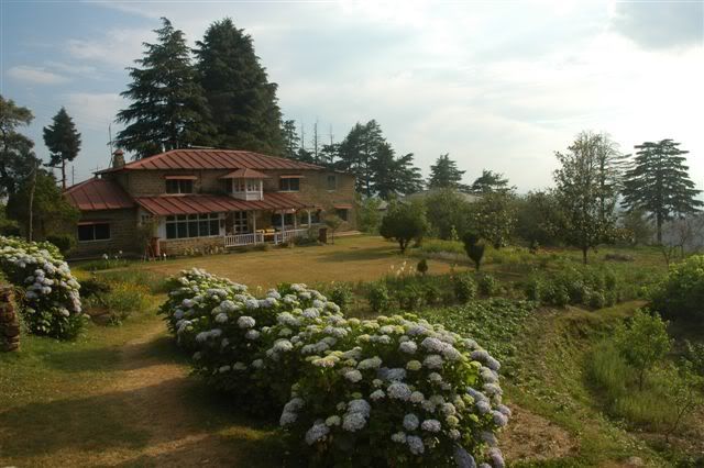
An old tea estate named after its erstwhile owner, Abbott Mount is a lovely, serene little place about 50 or so KMs from Pithoragarh. You can take a bus or a shared jeep towards Lohaghat, from where Abbott Mount is walking distance. The estate is the top of a flat mount and its cottages, which have lovely orchards, are still well maintained and now function as cottages for tourists. If you have the money you could stay here, else there are two Ashrams nearby on the way down towards Lohaghat. Once here you could float about on the estate, see the old church and just enjoy the fabulous views and even walk up to the Vanasur Fort.

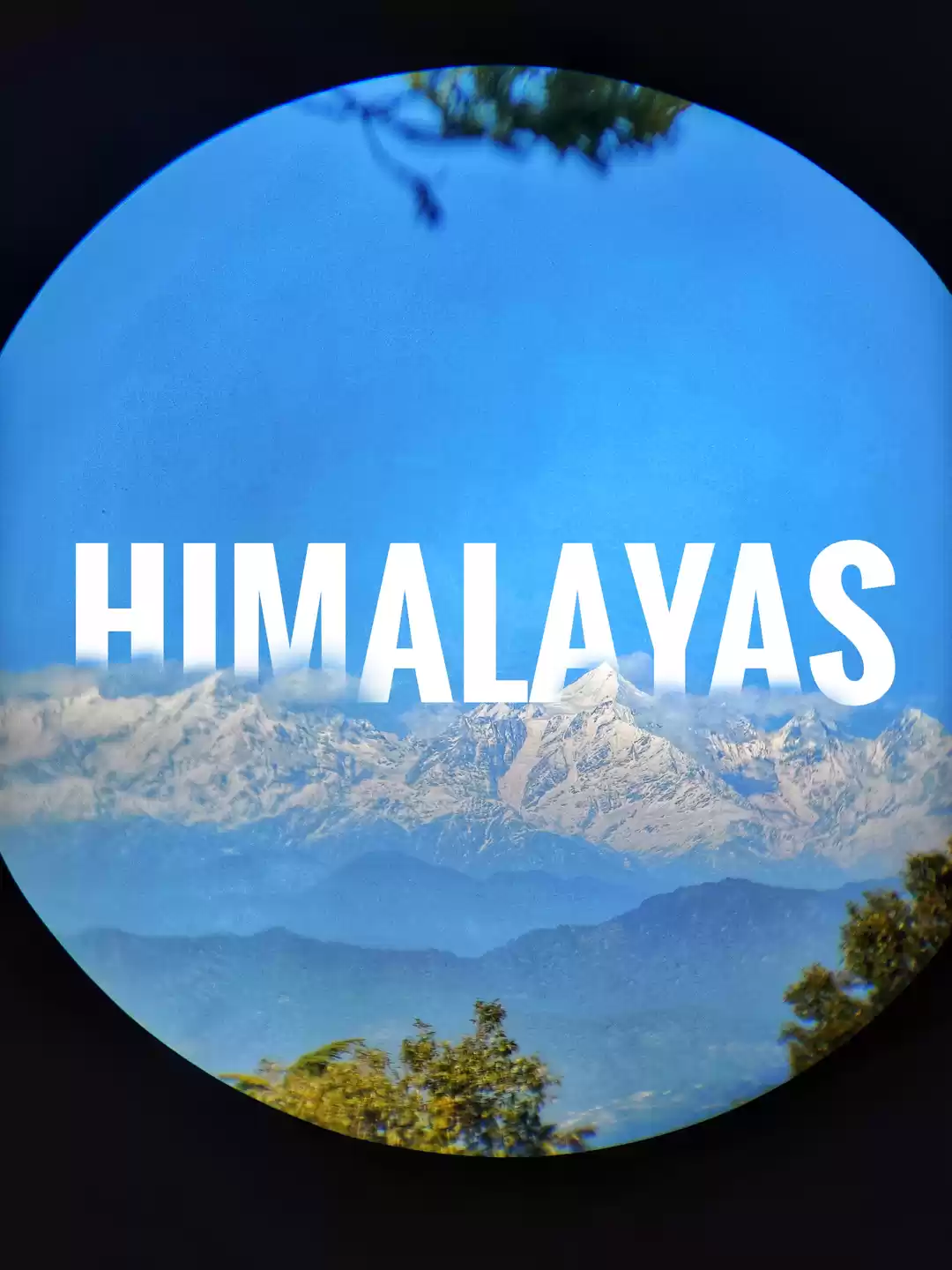
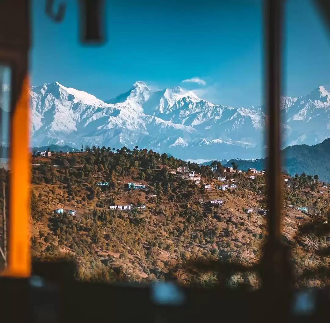
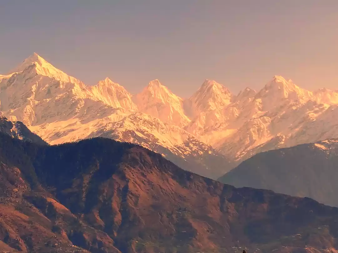
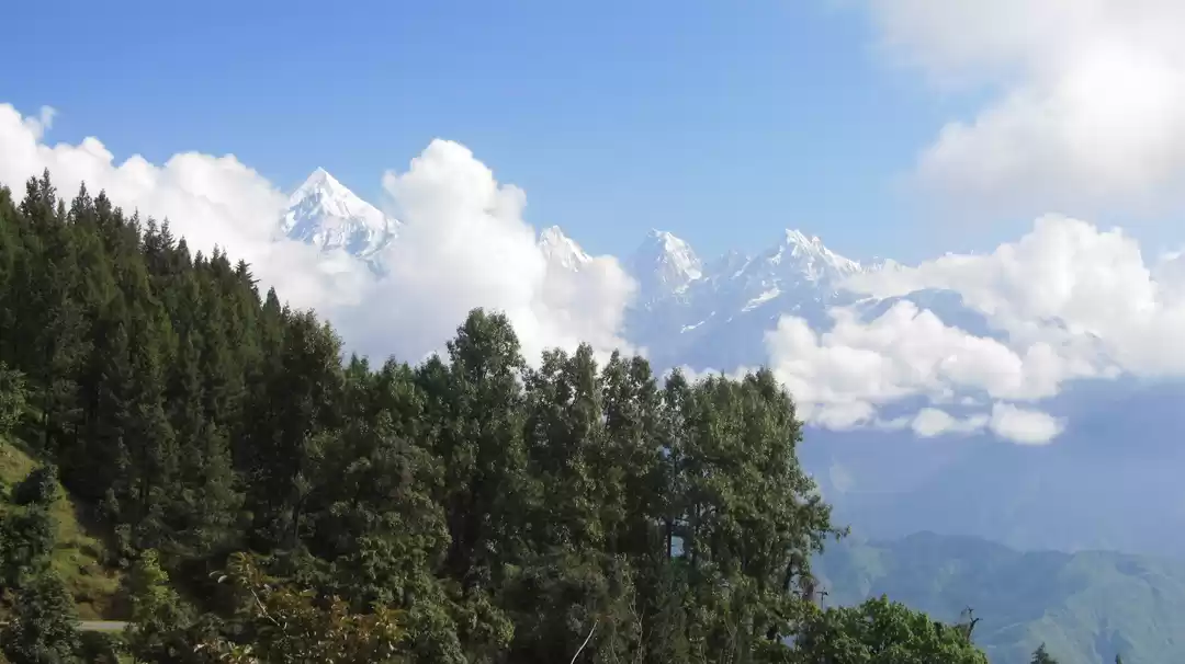
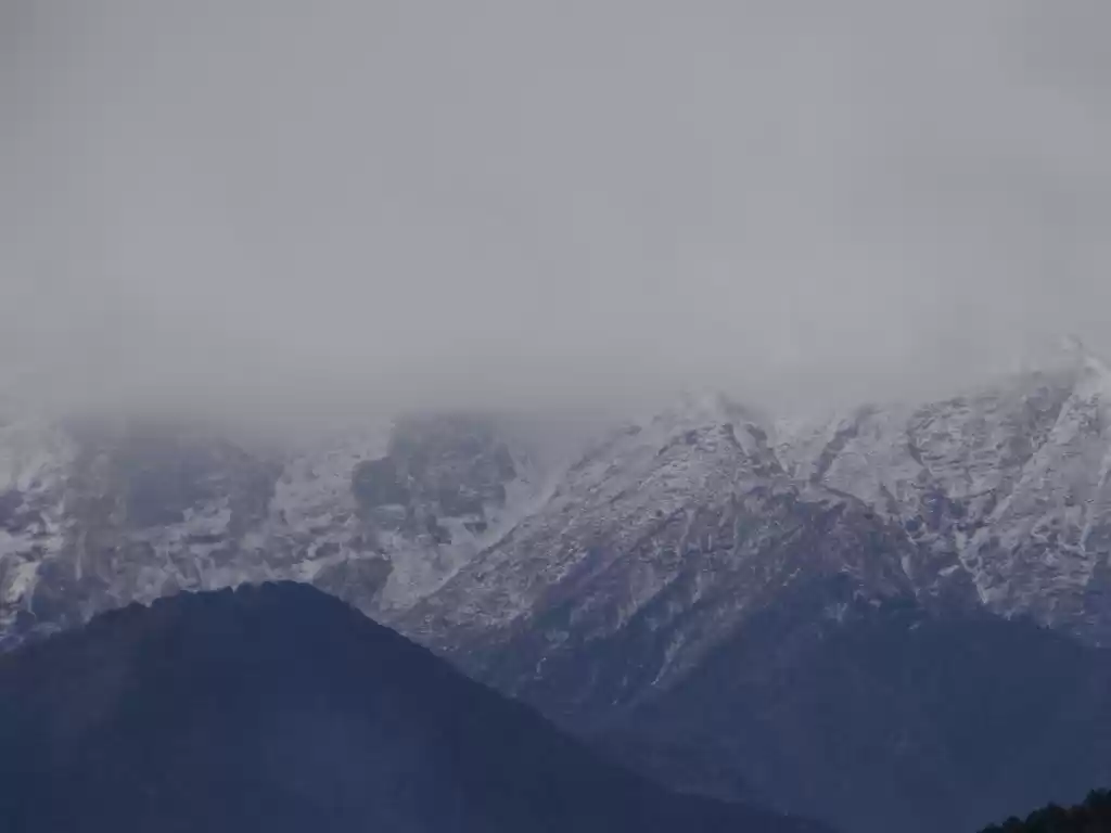
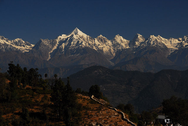
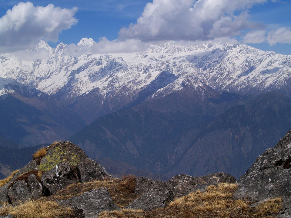
Pines, rhodendrons, oaks, fruit orchards and tea fields. Chaukori is a lovely little place that's a few hours by bus from Lohaghat. There is a KMVN rest house here, but new smaller hotels have come up too. But still the place remains largely untouched and unsullied. The peaks of Trishul, Maiktoli, Nanda Ghunti, Nanda Devi, Nanda Kot and Panchachuli peaks are clearly visible across tea fields, glittering in the light. For even more stunning views there is Kalamuni Top at 3000 metres. Drives to nearby places like Birsa or Tejam are amazing, as you begin to see what mountains can actually look like!

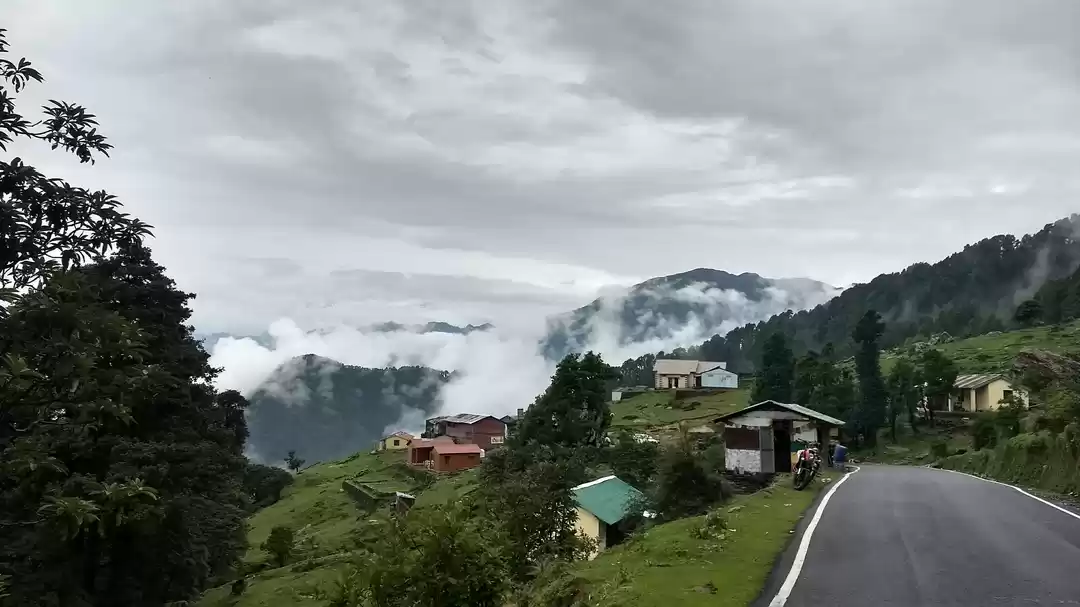
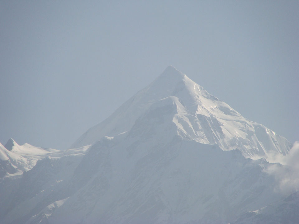
You can get shared cabs that take you from Chaukori - Munsiyari, and after 4 hours of driving through some very beautiful mountains, you finally arrive at Munsiyari. Munsiyari is quite rightly called a trekkers paradise as it is the starting point for numerous treks. Munsiyari itself is no slouch, its beautiful beyond words, with views of snow clad peaks that seem so close, it feels you could throw a rope on to them! There are two absolutely gorgeous treks, one to the Milam Glacier from Munsiyari and the other to the Pindari Glacier which starts from Song a little way down from Munsiyari. But both these treks are quite long and require permits from the Indo-Tibetan Border Police. However, a small trek to Khuliya Top can be done in 3 Days and doesn't require a permit.

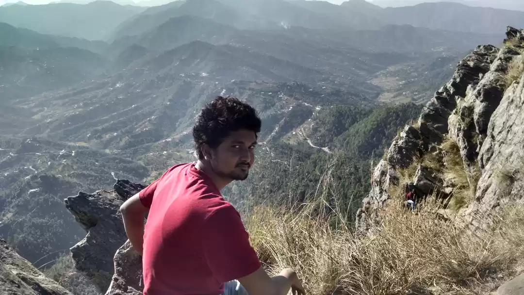
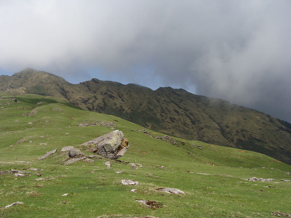
Trekking to Khuliya Top is not particularly arduous but at times the trek does become difficult. The trek starts from Balati Farm and you can easily get a guide from Munsiyari to take you up to Khuliya Top. There is a lodge enroute that you can crash at in the night, so you don't need tents. The entire trek you are surrounded by stunning views of the Panchachuli and Rajrambha peaks. The Bugyal or meadow at the top is a flat hilltop of rolling green landcsape from where you can see the Nanda Devi and Maiktoli peaks.

Frequent Searches Leading To This Page:-
places to visit auli uttarakhand, hotel booking in auli uttarakhand, uttarakhand tourism app, auli uttarakhand travel guide, uttarakhand adventure trip
' fill='%23359391'%3e %3cpath d='M46.1538462%2c43.5714286 L41.5%2c50 L36.8461538%2c43.5714286 L36.8670256%2c43.5714286 C36.3173077%2c42.7142857 36%2c41.6851429 36%2c40.5714286 C36%2c37.4854286 38.4535641%2c35 41.5%2c35 C44.5464359%2c35 47%2c37.4854286 47%2c40.5714286 C47%2c41.6851429 46.6826923%2c42.7142857 46.1329744%2c43.5714286 L46.1538462%2c43.5714286 Z M41.4294872%2c39 C40.6150641%2c39 39.9487179%2c39.675 39.9487179%2c40.5 C39.9487179%2c41.325 40.6150641%2c42 41.4294872%2c42 C42.2439103%2c42 42.9102564%2c41.325 42.9102564%2c40.5 C42.9102564%2c39.675 42.2439103%2c39 41.4294872%2c39 L41.4294872%2c39 Z' id='Location-white'%3e%3c/path%3e %3c/g%3e %3c/svg%3e)