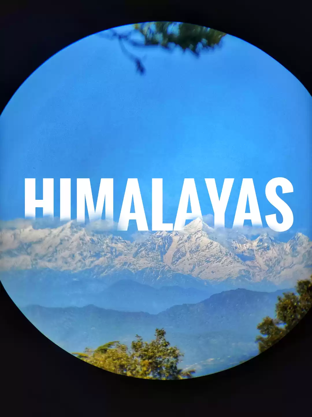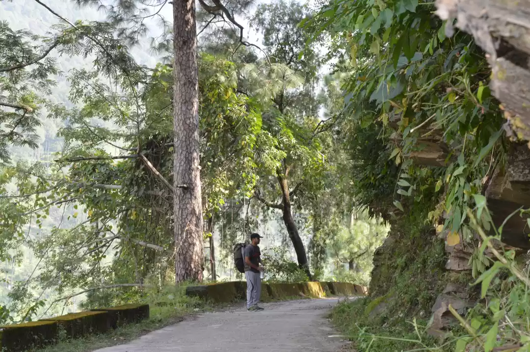


As temperatures scaled 45-47 degrees in the plains, heading to the Himalayas was perhaps the only option left. With a little planning, a trek was ready to roll. After a lovely kadai paneer break in Lucknow, I headed for Haridwar in a jam packed Lucknow-Chandigarh Express. The Nataraj bus stand, Rishikesh was my point to hire a shared jeep for Uttarkashi. It was a 6 hours struggle in the backseat of a bolero which ended in the Uttarkashi bus stand at around 3 pm in the afternoon. Advancing to Gangotri that late was would have been an unwise decision so we decided to halt at Uttarkashi.
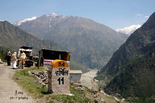
Early in the next morning we took a shared jeep for a 100 km drive to Gangotri,this time we were lucky to get the middle seats. The road in many parts was under construction. The 4 hr drive was a visual treat as we crossed Harshil, bypassing the road to Nelong valley and reached Gangotri at around 12.30 pm.
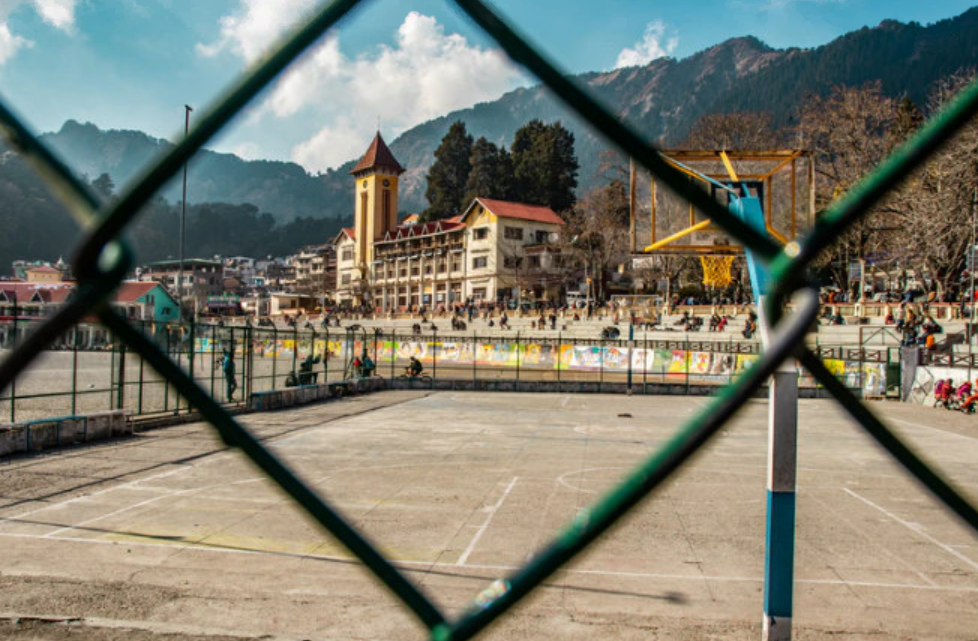
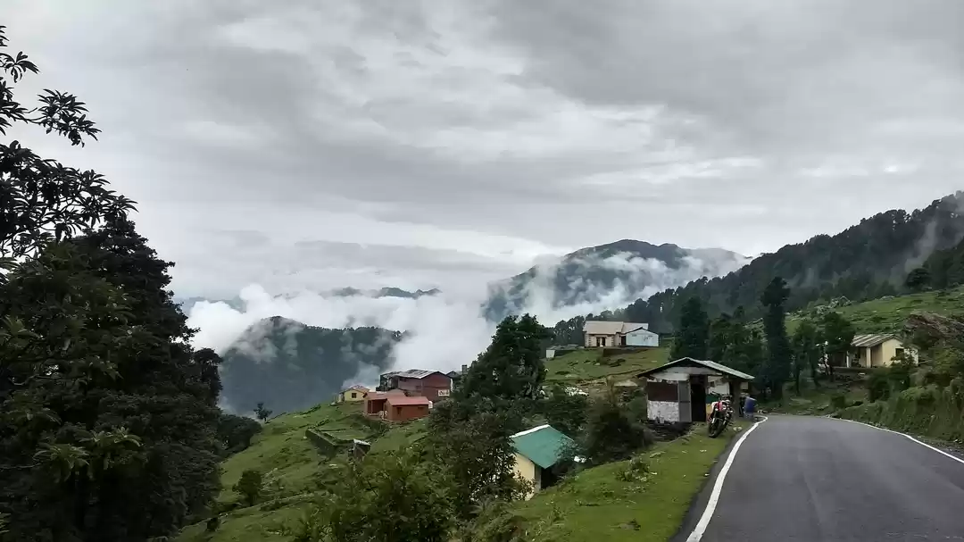
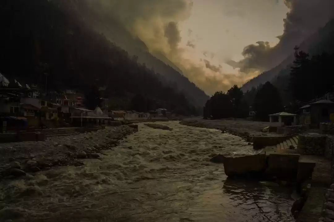
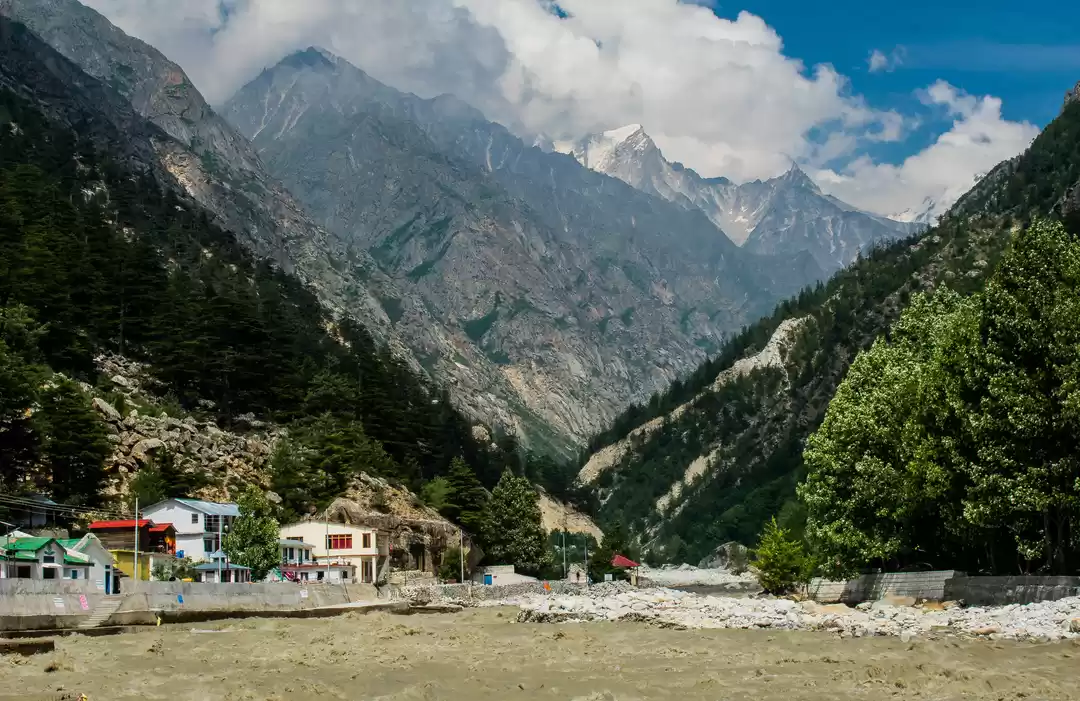
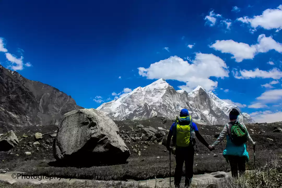
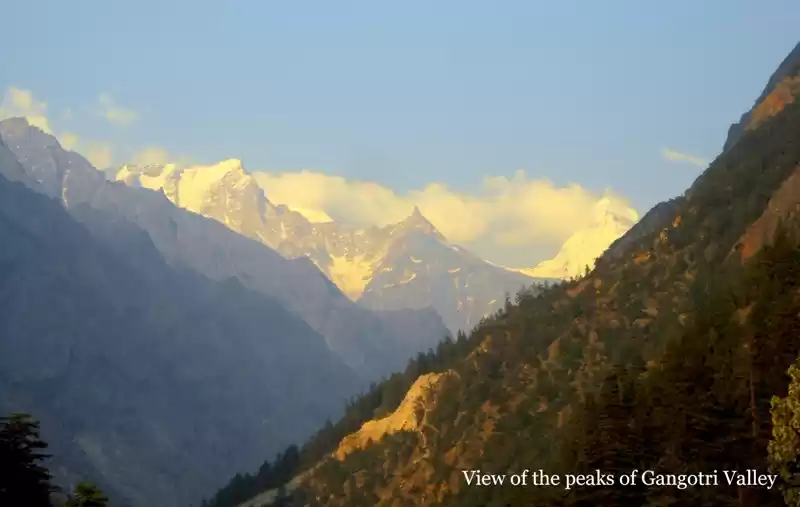
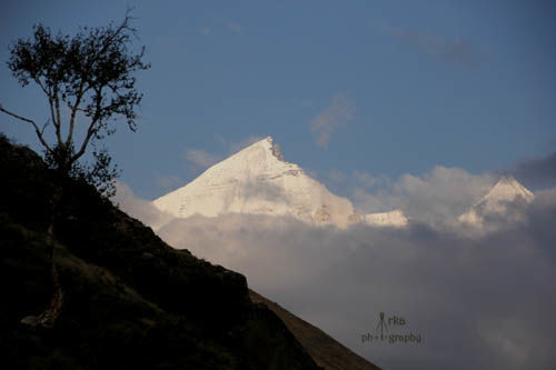
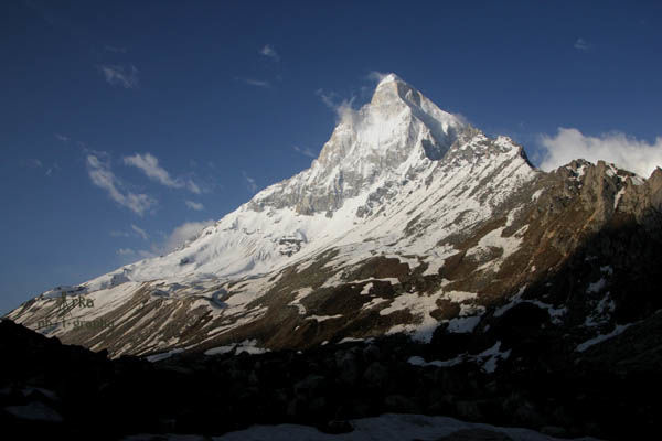
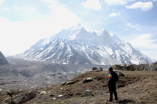
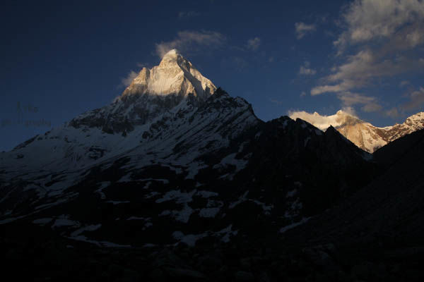
We were welcomed by a glorious view of the magnificent Mt Sudarshan and the neighbouring peaks.We proceeded to Mandakini hotel, settled in a 1st floor room with a stunning view of the mountains and the trail to Kedartal. Sound of the Ganges flowing in vicinity was thrilling, more so because in coming days we were actually going to the source of this sacred river.
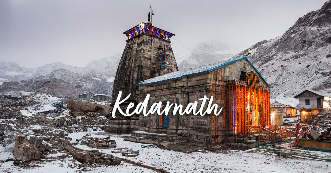
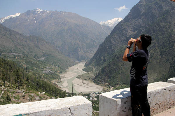
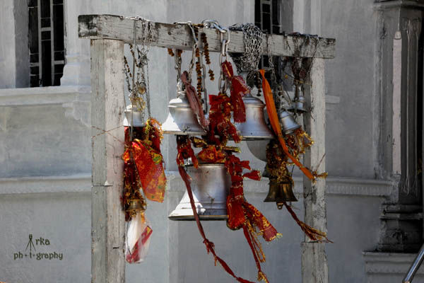
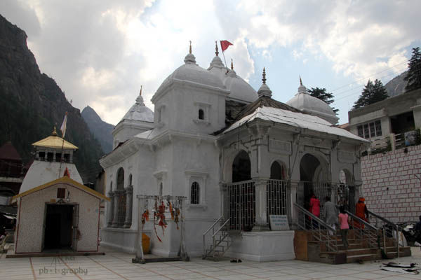
It was a clear day and after a short rest and refreshment we headed for the temple. Gangotri is situated at 3050 metres above the sea level. A short walk uphill was taking a toll. After offering prayers we headed to the river bank for a bit of photography. Snow capped peaks grabbed all the attention. I had planned a holy dip,but a splash of the icy cold water made me change my mind as I was concerned about the upcoming 5 days of my hike.
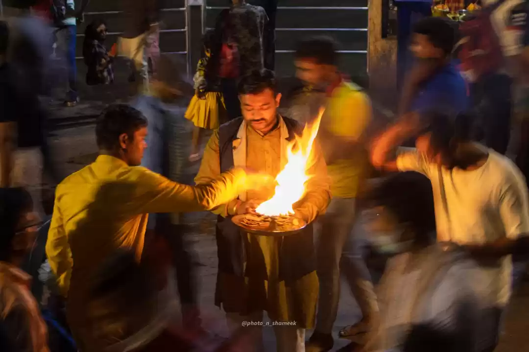
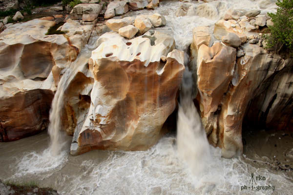
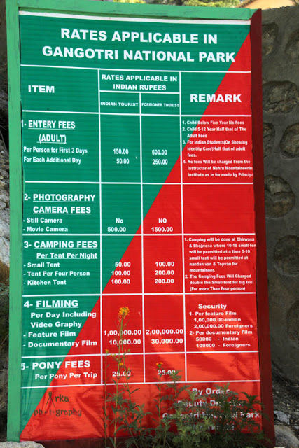
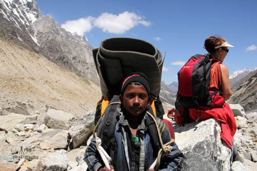
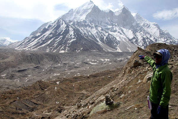
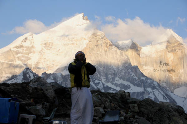
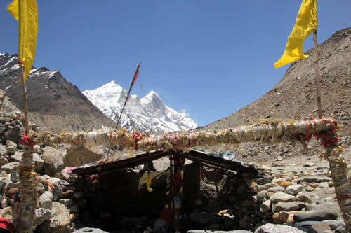
Late in the afternoon we met our guide Bhim Singh and discussed our tentative itinerary. We decided to stay in ashrams and carried our own backpacks. We took our permits from the forest office which was just adjacent to the main car parking. Thereafter we headed for an acclimatization walk towards Suryakund where the Ganges water takes a deep plunge into the gorge,visited a few ashrams and walked towards the trail to Kedartal. The evening arati at the temple provided us with a peaceful solitude and we took some vegetables for Mauni baba who would provide us shelter at tapoban.
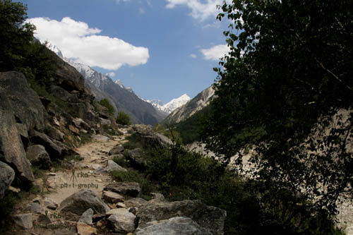
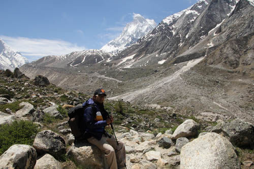
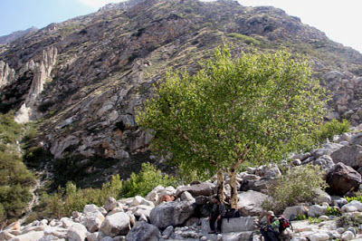
Early in the next morning we geared up for the trek with packed parathas for our brunch.The trail started from our hotel itself. We reached the checkpost of Gangotri National Park in around 30 minutes.After all the necessary formalities we started our walk through the muddy terrains with Mt Sudarshan dominating the views in the north and the Ganges flowing swiftly on our right side.
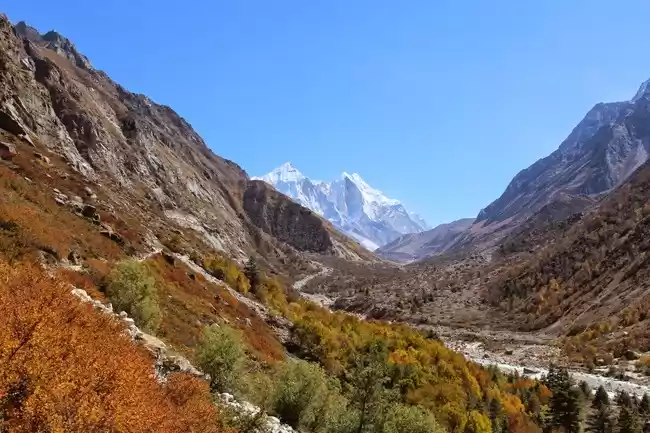
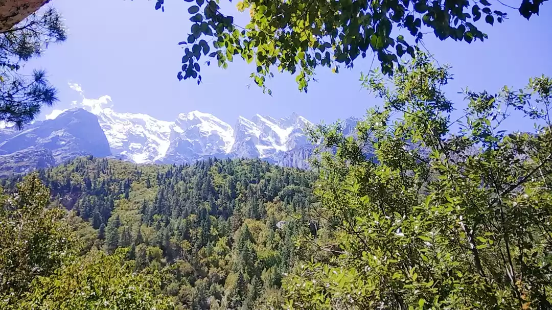
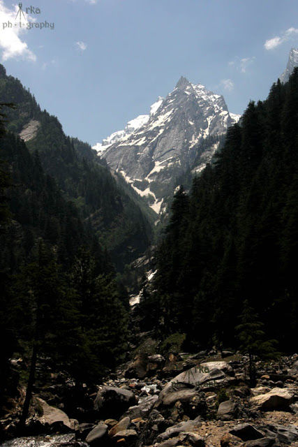
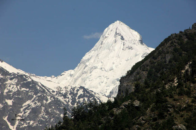
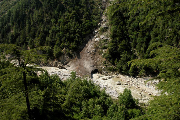
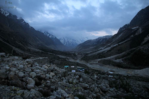
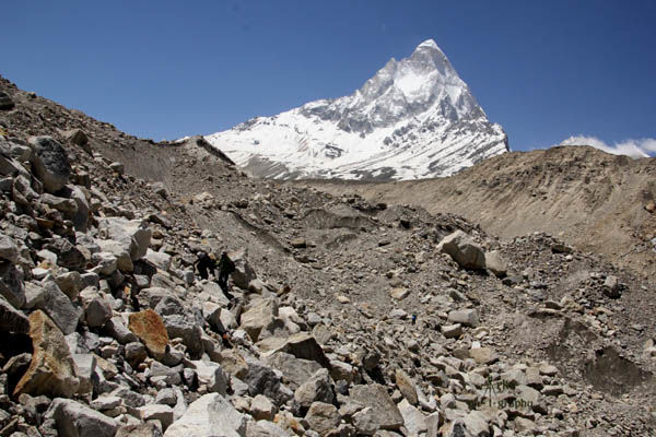
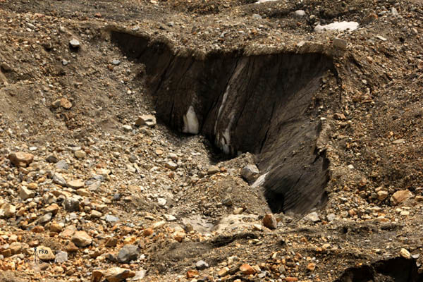
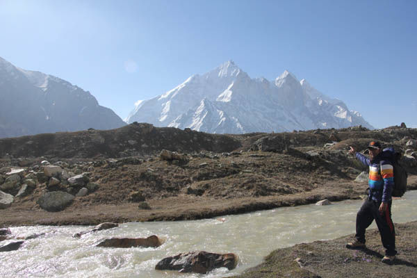
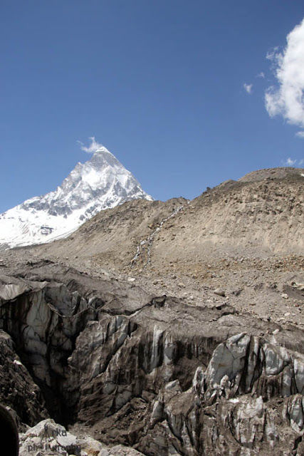
In another 30 minutes we came across the first glacier of our trek.It was a hundred metres long muddy-ice trail.Our walking sticks served as a great additional support as a simple slip could be fatal. In about two hours of hiking we crossed two more glaciers and continued our gradual ascent.It was a well laid trail and since it was our first day we decided to take it slow and steady.After another two hours of trekking we had the first glimpse of the Bhagirathi peaks .It is group of three peaks named according to height, Bhagirathi 3 was the first to show up followed by Bhagirathi 1 and 2 peaks.We reached Chirbasa (9 kms from Gangotri) at around 2 pm.Our entry tickets were rechecked at Chirbasa forest office after which we had some parathas with tea. Chirbasa is a small valley along the Ganges with camping sites.
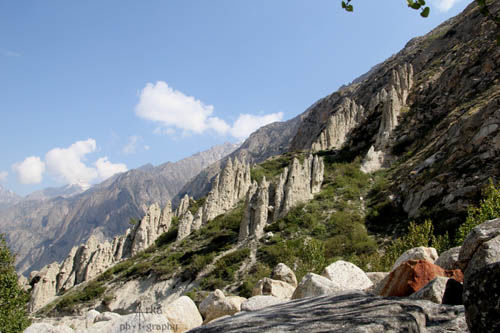
Since our plan was to head on to Bhojbasa we didn’t waste too much time and moved on. The terrain was ever changing with gain in altitude and greenery was getting converted to rocky moraines, steep cliffs. By 4 pm the shadows gradually engulfed us and we still had three more kilometers to cover.Taking repeated breaks was not helping us. Finally a glimpse of Bhojbasa was enough to boost us.We reached at around 6.30 pm in the evening.With temperatures dipping we had supper and dozed off in comfortable tents at Ram baba's ashram.
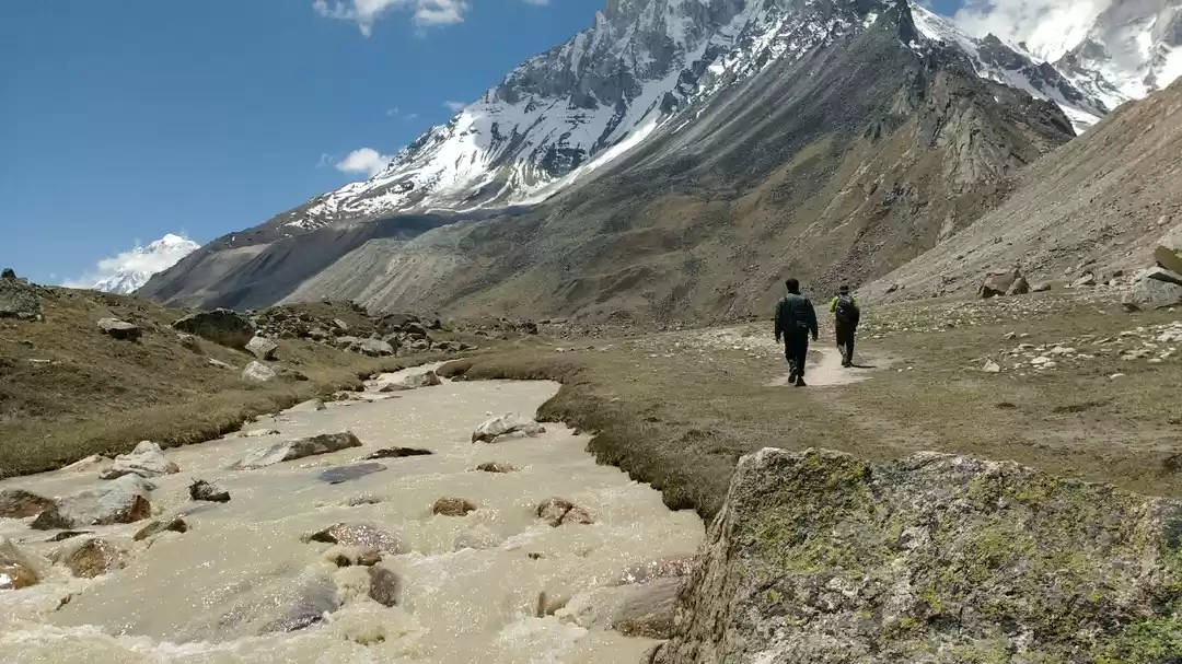
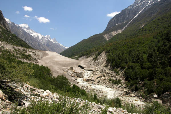
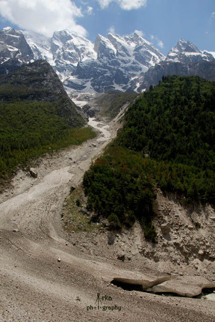
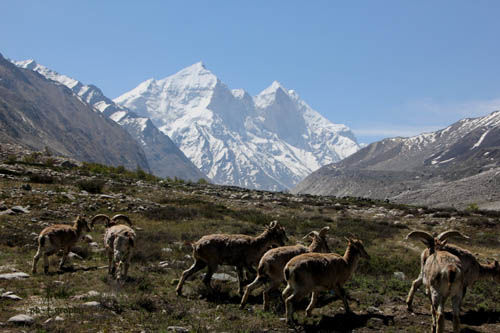
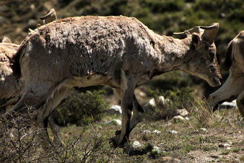
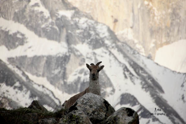
We managed to wake up at 8 am the next morning and geared up for the days trek by 9 am.It was a 4 kms hike till Gomukh – the sources of Ganges followed by a 5 km steep climb through the Gangotri glacier to reach Tapoban – the base camp of Mt Shivling.As we started, a flock of the Himalayan Bharals greeted us and in around 2 hours we reached Gomukh.
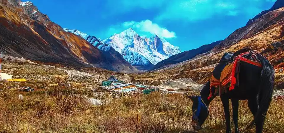
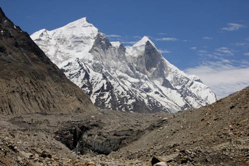
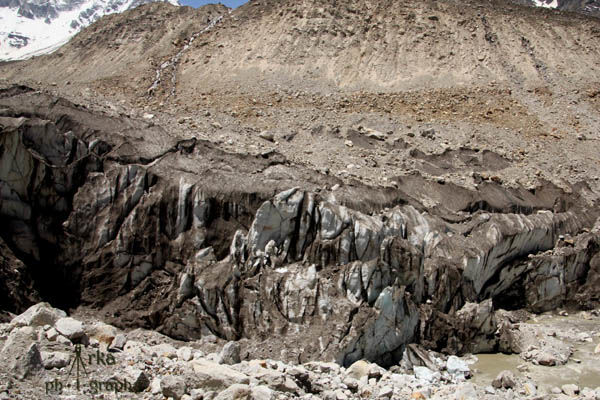
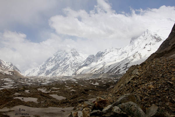
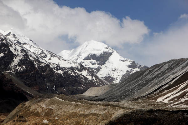
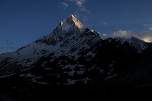
The look of the glacier's snout was a thrilling experience as it had ice bars ranging hundred metres with pieces of ice occasionally falling of into the river.We had to cross over this fragile structure. Few tourists who came to see Gomukh were roaming around.Most didn’t advance towards Tapoban. Horses are allowed only till Gomukh. We took the ridge along the left of Gomukh and started the climb. Bhim Singh informed that the routes to other spots like Raktaban and Nandanban were separating from there on.Walking up on stony morians was exciting with the views of Mt shivling gradually opening up and Bhagirathi peaks at touching distance. At around 2.30pm we successfully reached on top of Gomukh and had to make the final push of 3 kms till tapoban.
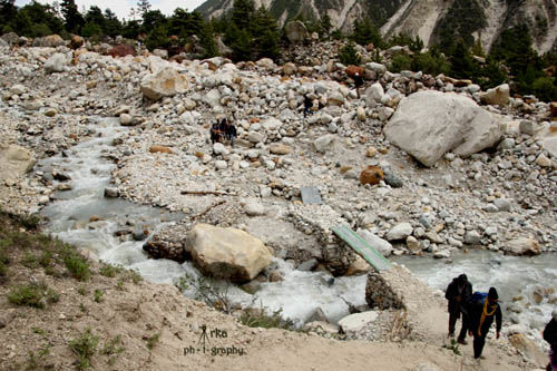
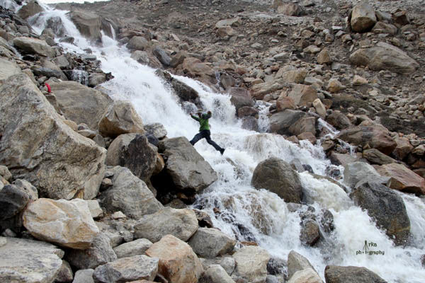
Looking at the cliff,things were starting to look gloomy. It was getting late and we were informed that we had to cross a stream Akash Ganga which was flowing through that cliff. Water levels could rise to due to melting snow throughout the day.
As we started the climb at a steep angle, a few steps was causing palpitations forcing us to stop and rest.Loose stones were making things more difficult .We strained ourselves to climb further and finally succeded in our attempt.It was getting really late and we reached Akash Ganga at around 5.30 pm.The very first glimpse of the huge size of the falls shocked me,crossing it seemed next to impossible.We didn’t have any alternate route as the cliff on our side was almost vertical. Bhim Singh took charge of the situation as he gauged the depth of the stream,crossed our backpacks and guided us along the boulders.This part of our journey was unexpected and a bit too risky.
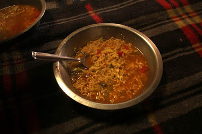
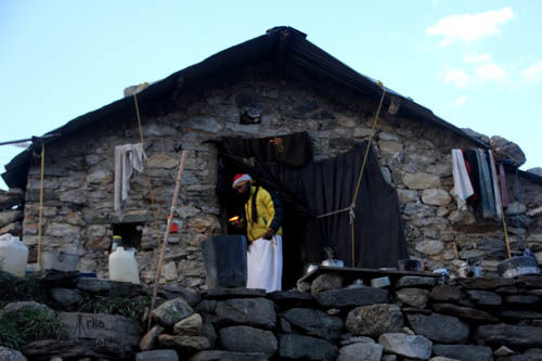
I was wet till the waist and was forced to continue with the hike in my wet lowers.It was a 500 metres climb to Tapoban so we took it slow and reached at around 7.30 pm in the evening. As we entered Mauni babas ashram it started raining heavily with flecks of snow. We had maggi followed by dinner with rice roti and sabji.
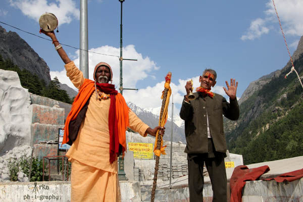
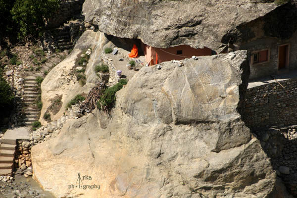
Babaji who was staying in Tapoban for last 7 yrs,was interacting only with signs as he had taken maunvrat (vow of silence).He lives throughout the year in Tapoban. He gets all his stuffs packed by travellers and porters from Gangotri.He has been captivated by the peaceful serenity of this dreamland ever since he came here.
We headed to our small stone walled rooms which had basic mats and blankets and dozed off in a flash. The constant creaking and jumping of the rats (most probably) disturbed many times in the night. We woke up at 6.30 am and got ready for trek around tapoban and sunderban.
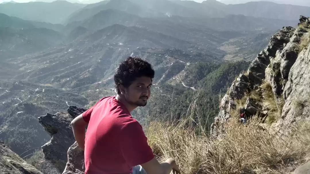
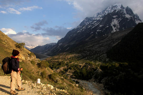
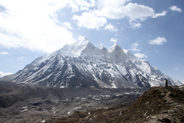
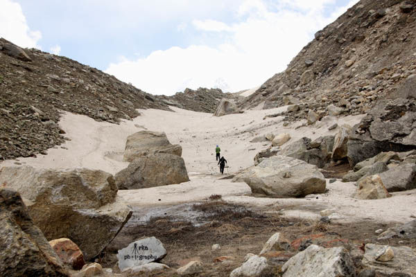
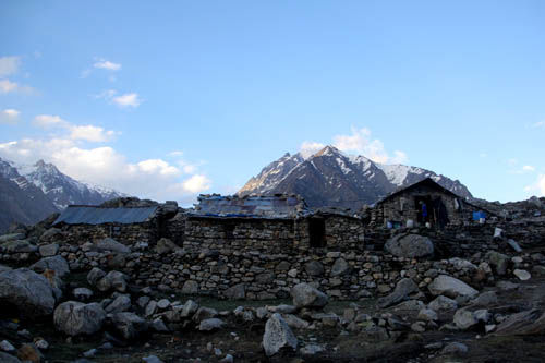
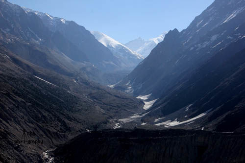
It was a sunny day as we headed towards Sunderban along the ridge of Gangotri glacier. The view of stretch of the glacier with Bhagirathi peak on the background was a visual treat for every mountaineer.Mt Shivling and the Tapoban meadow with Akash Ganga flowing through it completed the 360 degree panoramic view. In around 20 mins our guide showed the trail heading towards Nandanban going down into the glacier moraines.Trails are identified by stack of stones piled up,otherwise its very easy to get lost out there. Gangotri glacier was a 27 kms long glacier ending in Gamukh giving rise to the holy Ganges. In 2 hours after crossing several stretch of snow fields we finally reached the viewpoint of Sundarban.
The glacier here takes a V shaped turn and it this is where the Mt Kedardome and Sunderban peak are located.Campsite at Sunderban was 1 km ahead. Assessing the ruggedness of the terrain camping in Sunderban requires the best of equipments and camping skills. After a short photosession the weather started to turn bad,it started drizzling so we headed back to Mauni babas ashram and was served with lunch.
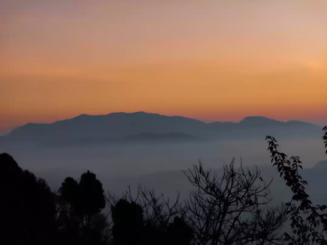
Post lunch due to bad weather condition bad we dropped our idea to go to Neel taal instead we roamed around taking snaps. Mauni baba performed his daily rituals while we experienced the beauty of the sun setting in the mountains imparting them a fiery red colour. Some other trekkers had arrived in the evening .We exchanged our travel story with them. Next morning I woke up early for some sunrise clicks. After breakfast we started early at 7am.In around 40 mins we reached the Akash Ganga stream,which was flowing swiftly as usual.We successfully crossed it and headed downwards.
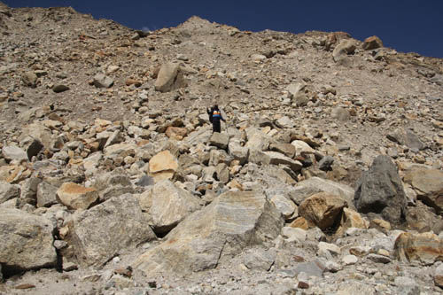
Rockfalls and loose stones were making our trek difficult .In around 2.5 hours we came down the cliff. Crossing the glacieral moraines was tough during descent.Stack of stones being a guiding source for heading in the correct direction.In another 2 hours we finally descended down the glacier.We rested at a small temple for 30 mins gearing up for the remaining 4 kms of trek to Bhojbasa. We finally reached Bhojbasa at around 2pm and headed to GMVN guest house for a lunch later heading on to Ram babas ashram for night's stay.
Early next morning around 7 am we headed back to Gangotri cherishing our memorable experiences. We reached Gangotri at around 12.30 pm.Post lunch we booked a cab for Harshil.
GENERAL INFORMATION & SHORT ITINERARY -
Day 1 - Gangotri to Bhojbasa (14kms) (Night halt Tent/Ashrams/GMVN), gradual incline , 6-8 hours for average trekker.Day 2 - Bhojbasa to Gaumukh to Tapoban (9kms) (Night Halt -Tent/Ashram) hike of 6-7 hours, steep climb from Gaumukh onwards through moraines & boulders. Need to cross a stream (Akash Ganga) 1 km before Tapoban. Must start very early morning.Day 3- Tapoban(4500m) to Sunderban (4700m) (6kms) and back 3-4 hours walking at gradual incline, Neel taal in afternoon Day 4 - Tapoban to Bhojbasa.Day 5 - Bhojbasa to Gangotri.
Alternative routes -
1. From Gamukh to Raktaban, 6kms 5-6 hours ,camping equipments needed .2. From Gamukh to Nandanban and Vasukital ,camping equipments needed 3. From Tapoban to Sunderban and Kirti glacier,camping equipments needed 4. Tapoban to Meru glacier and back
Guide - Bhim Singh (contact number – 9557213252) – Charged Rs 1400 per day including food, he is an expert Nepali guide, very helpful. Porters are available at Rs 600-700 according to demandPermits – DFO office near Gangotri taxi stand makes the permit, it's a work of 10 mins, permits will be checked at entry and at Chirbasa.National Park entry charges separate.Local association charges – Rs 100
This trip was originally published on MyTr@vel Diary.

' fill='%23359391'%3e %3cpath d='M46.1538462%2c43.5714286 L41.5%2c50 L36.8461538%2c43.5714286 L36.8670256%2c43.5714286 C36.3173077%2c42.7142857 36%2c41.6851429 36%2c40.5714286 C36%2c37.4854286 38.4535641%2c35 41.5%2c35 C44.5464359%2c35 47%2c37.4854286 47%2c40.5714286 C47%2c41.6851429 46.6826923%2c42.7142857 46.1329744%2c43.5714286 L46.1538462%2c43.5714286 Z M41.4294872%2c39 C40.6150641%2c39 39.9487179%2c39.675 39.9487179%2c40.5 C39.9487179%2c41.325 40.6150641%2c42 41.4294872%2c42 C42.2439103%2c42 42.9102564%2c41.325 42.9102564%2c40.5 C42.9102564%2c39.675 42.2439103%2c39 41.4294872%2c39 L41.4294872%2c39 Z' id='Location-white'%3e%3c/path%3e %3c/g%3e %3c/svg%3e)