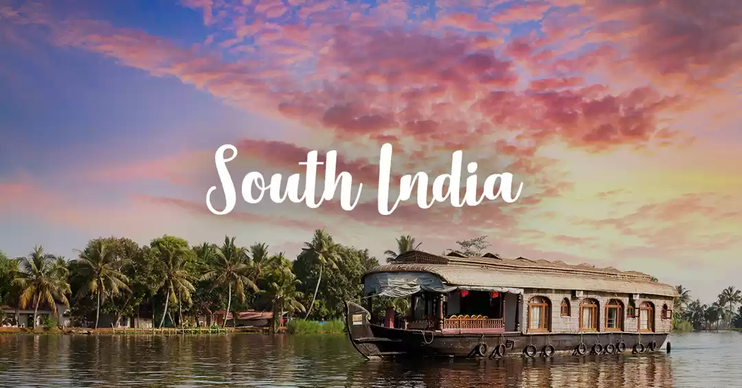
A weekend getaway with friends is always on if your pack are as fanatic as you are. Not often will there be time to decide upon a destination. Here's my share of experience I had with my crew in my visit to Kudremukha!
About the place :
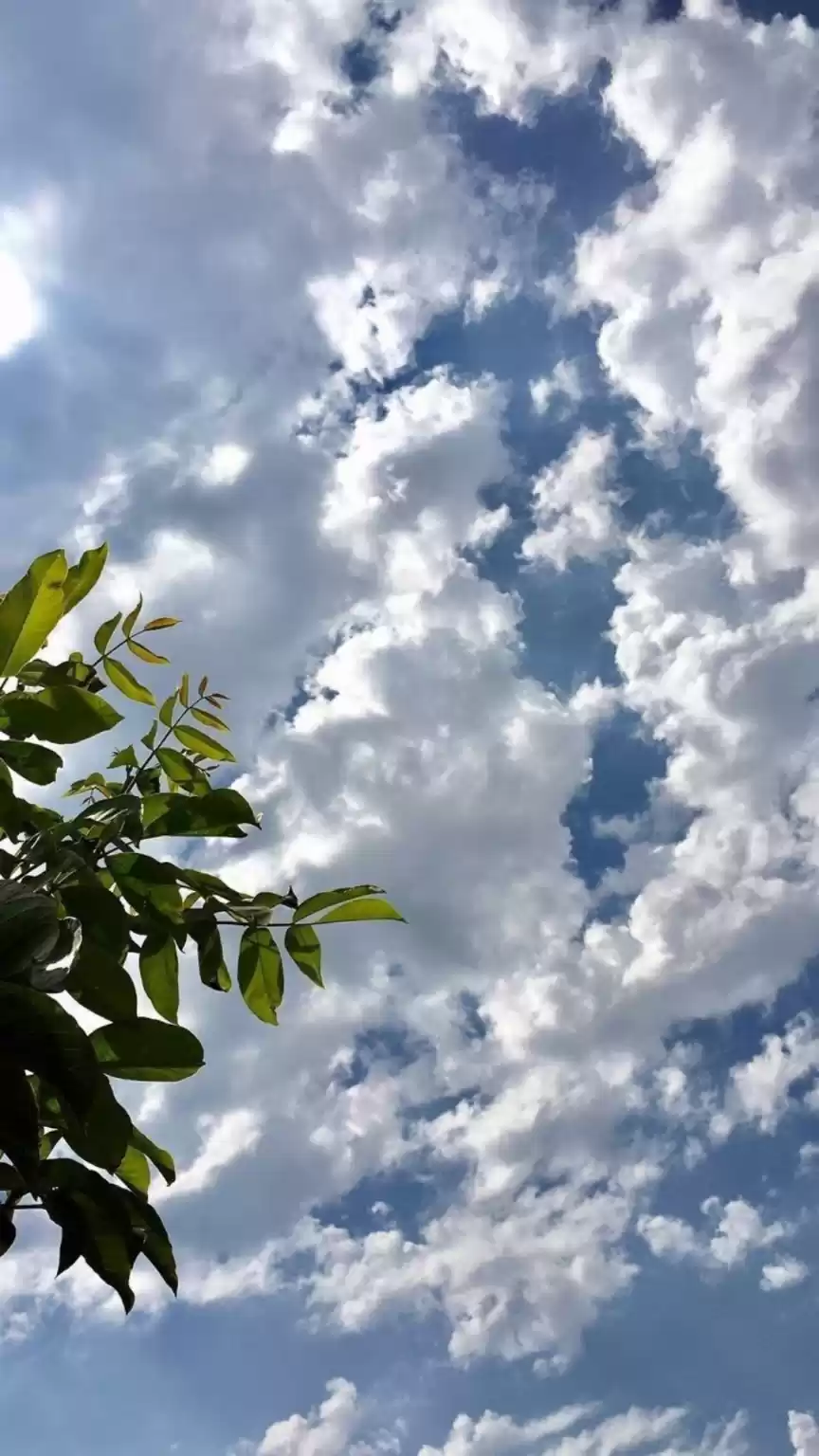
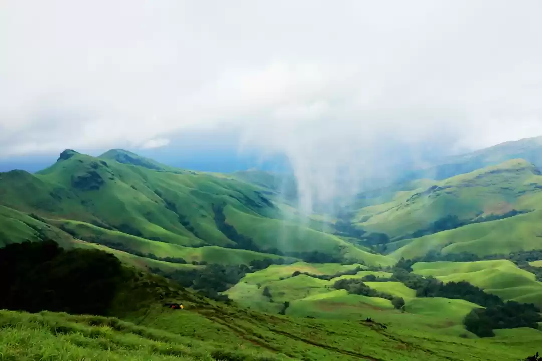
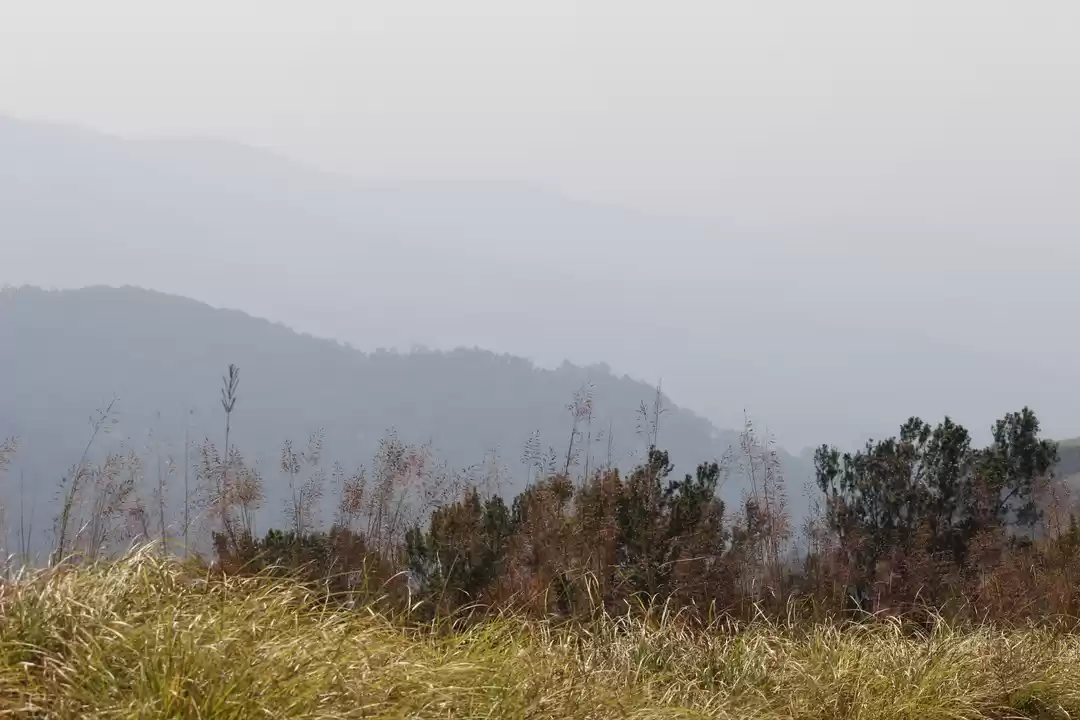
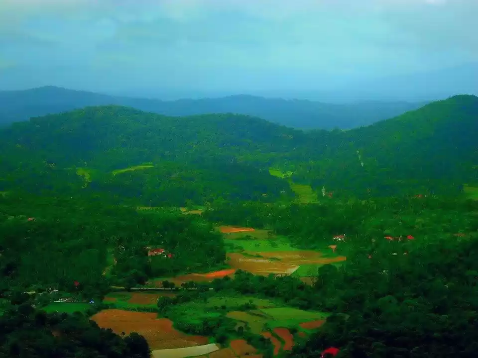
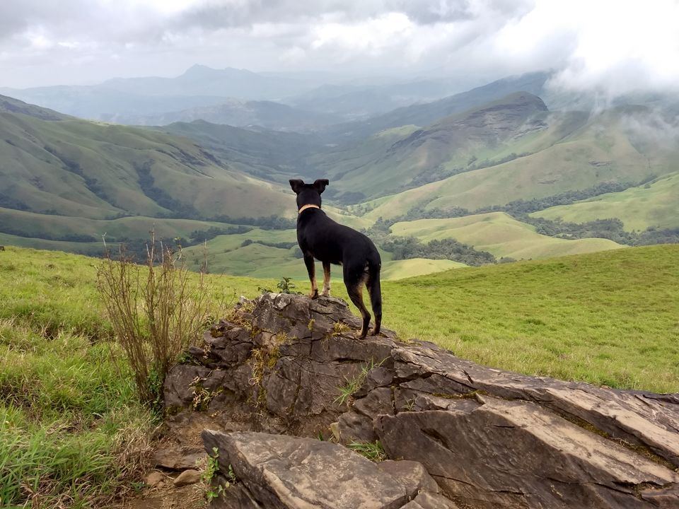
Kudremukha has an array of lush green mountains comprising of wide range of floras and faunas. Moderate weather conditions can be expected throughout the seasons, slightly chill during winters. Langurs, Wild boar, Deer, Bison etc are the most common sightings here. It stands tall as one of the prominent adventurous locations in the western part of Karnataka.
How to reach :
Kudremukha is located at 332 kms to the west of Bengaluru . The nearest airport is at Mangaluru, 100 kms apart.
What's on offer :
Wildlife department of Karnataka encourages tourist with wide range of wildlife activities. Few of which are listed below ;
*Safari rides across the park which lets tourists have close encounters with the wildlife.
*Trekking to few prominent hilltops at the part.(Kudremukha view point at 1892 mts being the recommended one). A maximum of 50 members are permitted to take up trekking on a particular day (accompanied by authorized travel guide from department)
Trek to Kudremukha peak :
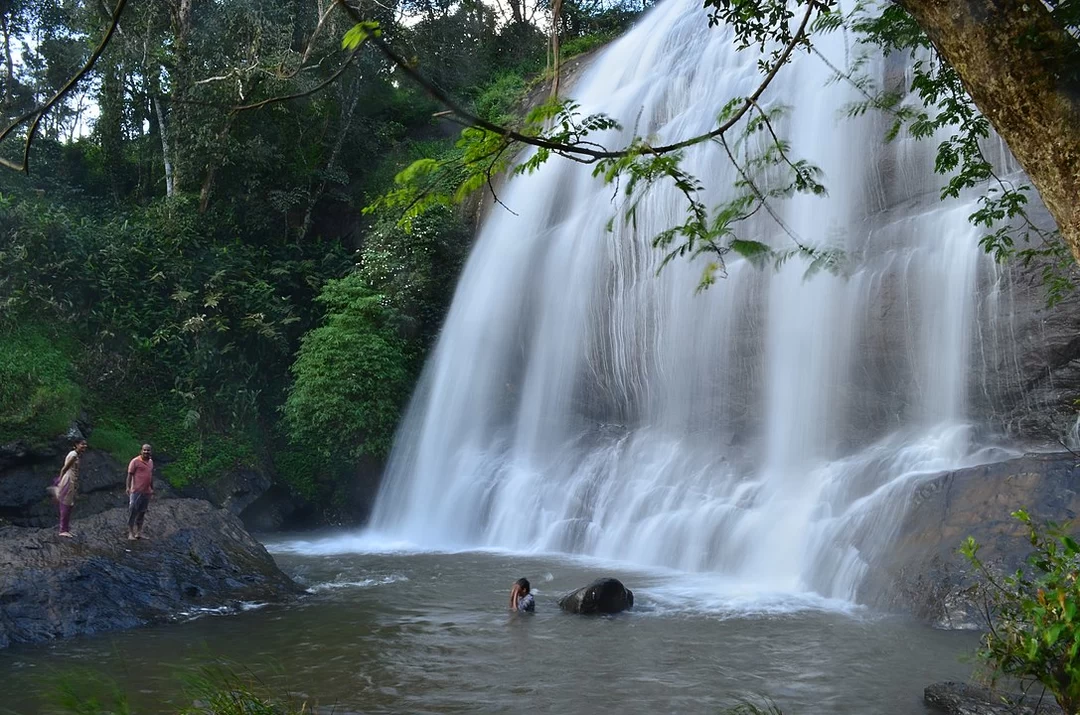
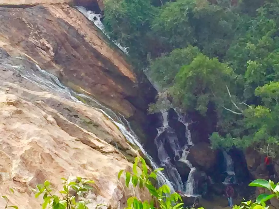
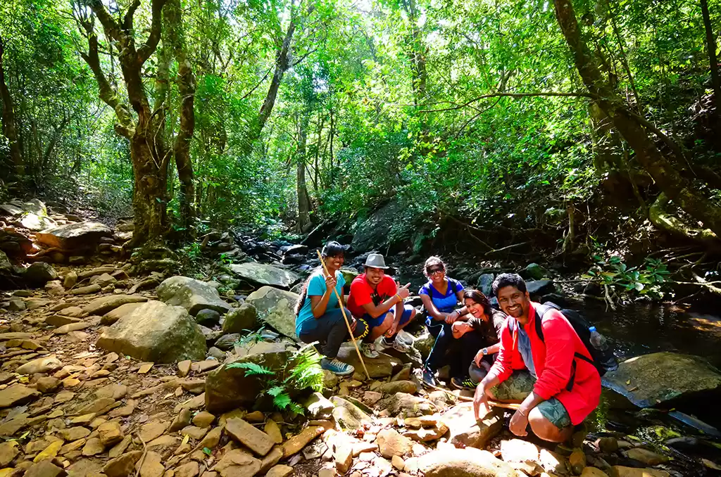
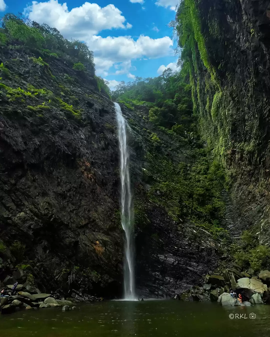
The first of many attractions is the Somavathi waterfalls at the foothill of Kudremukha. A refreshing bath in the freezing cold water rejuvenates you for the rest of the day.
The last hint of civilization is the check post, beyond which you are amidst the wild there to be enjoyed. Make sure your itinerary is mature enough for a trek of such calibre. It is recommend to carry disinfectants during monsoons in case you are being troubled one of many leeches .
'To tackle the nature is difficult, to turn back on your endeavours is even more difficult', you might sense this isn't cake walk. "This surely is not" said my friend gazing at the peak which had the warmth of clouds.
The terrain initially is not that of a challenge provided you are charged to the max. First glimpse of the peak is when you are at 7kms from the peak. Ancient ruins , water streams can often be witnessed as you ascend. The water is fit for drinking provided proper remedy is taken.
"Ontimara" - tree which stands alone is the halfway mark to have a breather which comes handy if the sun is out that day.
'There are two sides to every story and the best side shines bright'
First half of the trek wouldn't be that of a challenge but the second half more or less is . It is more often recommended to preserve your best for the last which surely is the case here.
Precisely monitor and assess the resources you have procured. It is ok to take frequent breaks as the terrain gets tougher.
Would it be comfortable if the stairs back home are uneven? Definitely not ......oh wait! Should I try?
Well, the climb comprises of various terrains , hustles through long grass, hop across water stream and many more. The zig-zag path is the last hurdle in your path followed by a serene walk to the peak.
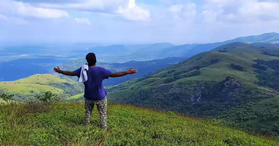
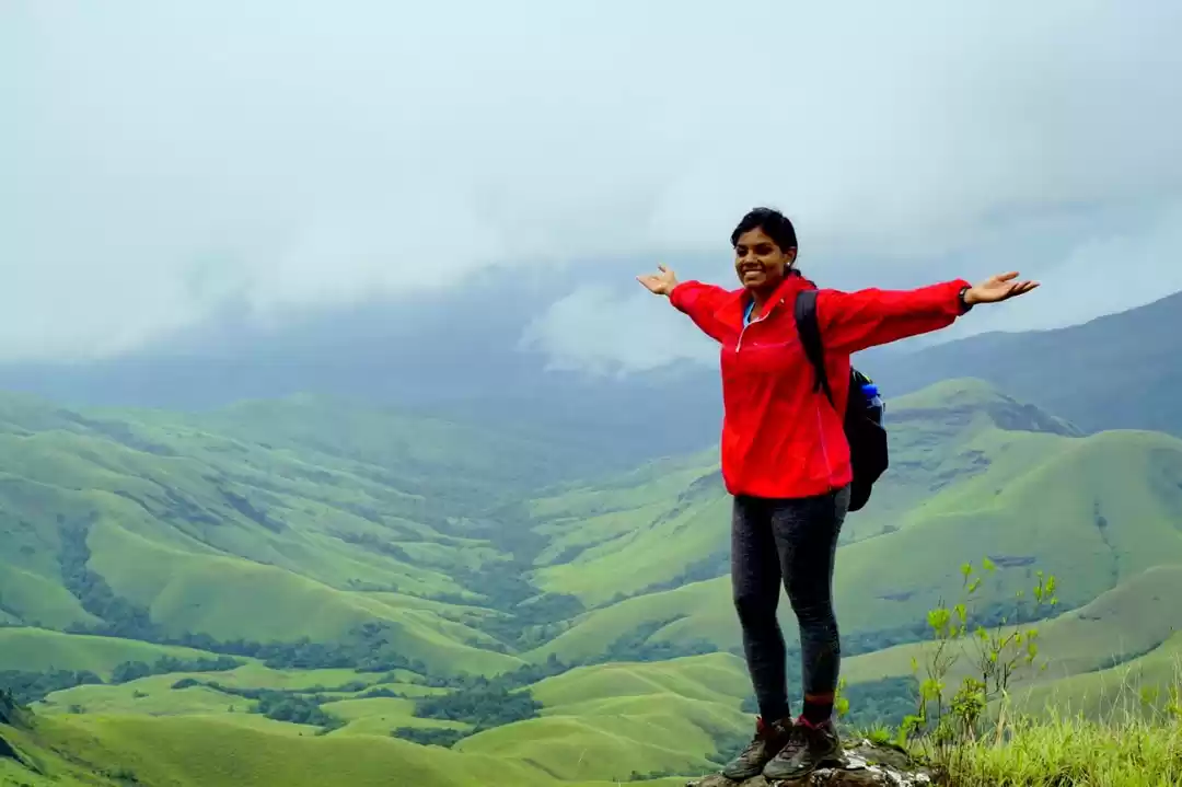
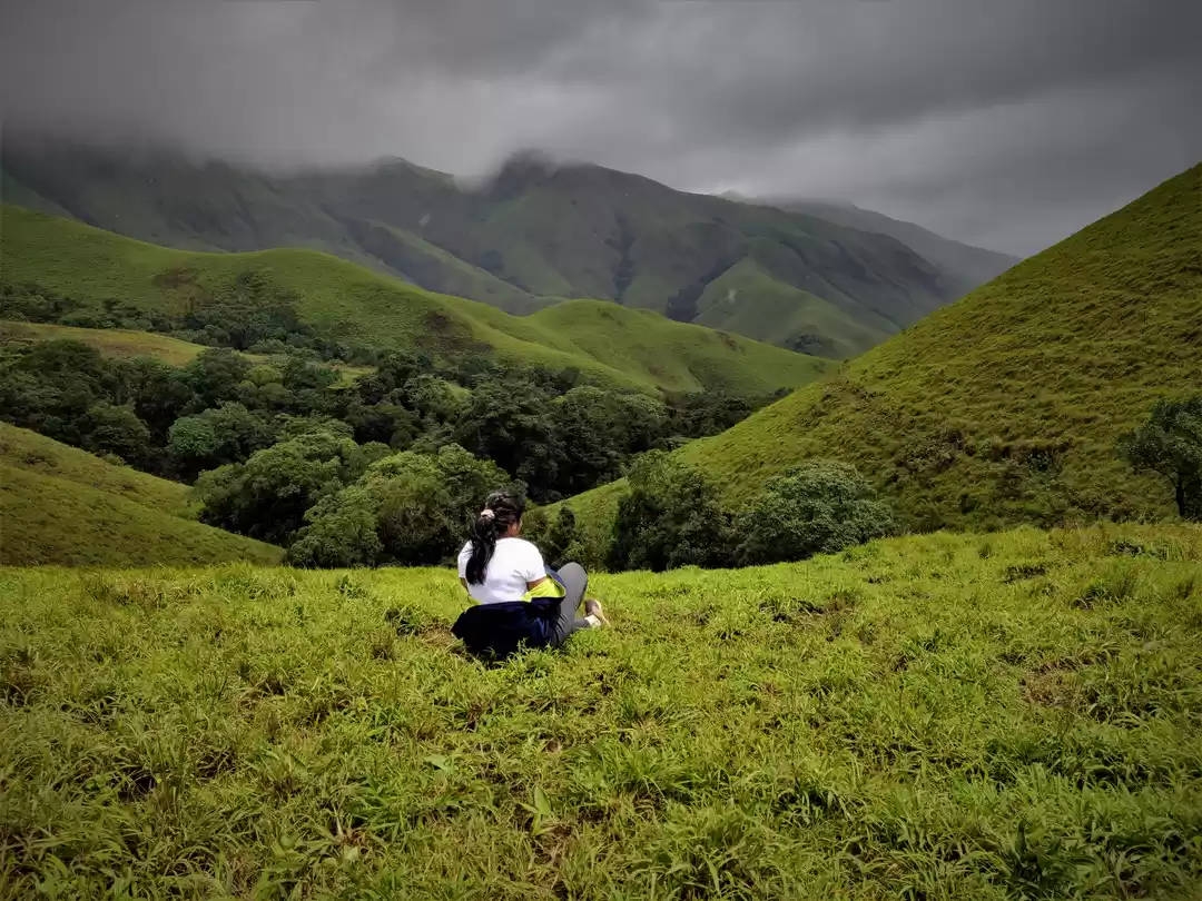
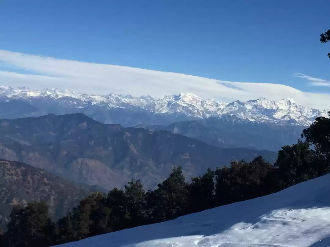
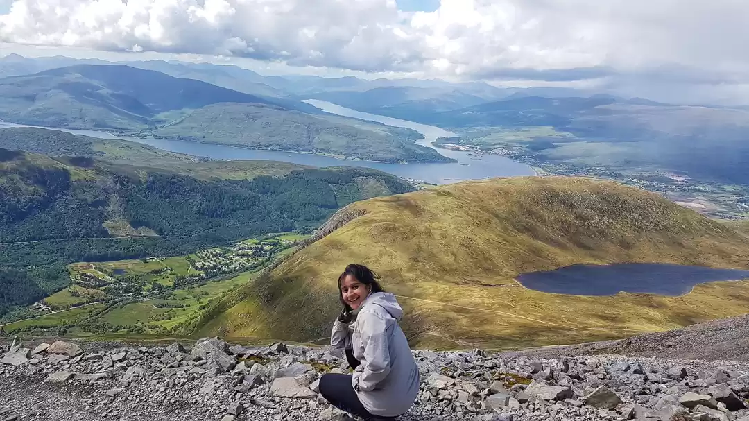
On top of the world amidst clouds with fresh air gushing brings a sort of relief . A 360-degree mind boggling view of the mountain ranges covered with lush green blankets is by all means what you craved for at the start.
On an average, 3-3.5 hrs is the ascend time. Descend through the same path which should take a lot less than 3 hrs .
Note:
*By all means, the trek should commence before 9 AM and end before 6 PM as per the rules and regulations setup.
*Poor/zero mobile network connectivity throughout the park/trek.
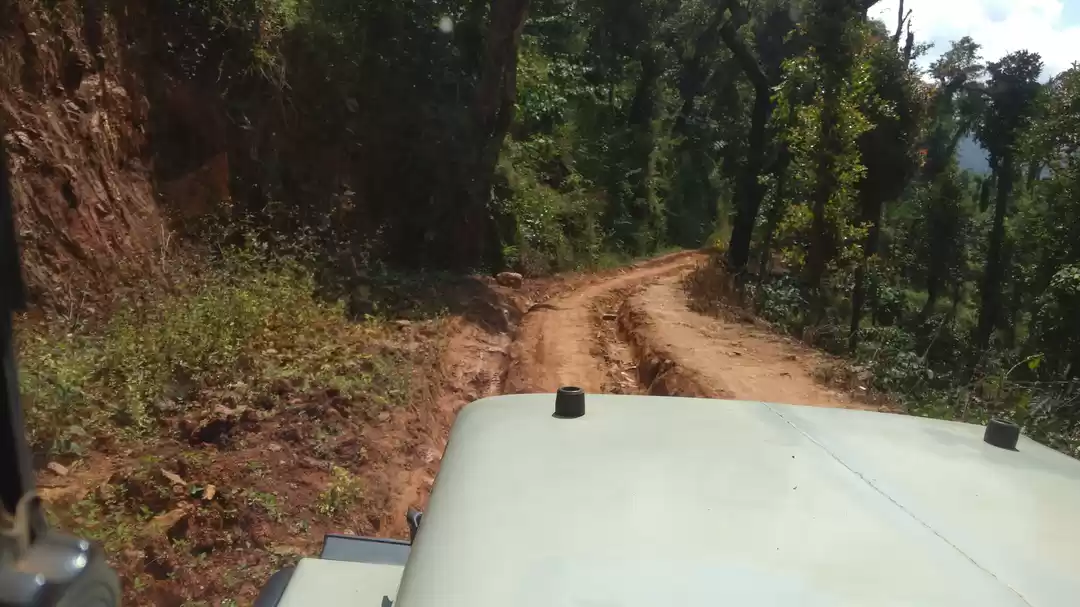
*Road leading to the check post is not suitable for vehicles with minimal ground clearance.
Wishing you a happy and safe trip
Ashray


The trek to the peak is of 9 kms from forest check post. It also involves walks through the valleys before getting to the top. There are handful volunteers offering accommodation and dining .

' fill='%23359391'%3e %3cpath d='M46.1538462%2c43.5714286 L41.5%2c50 L36.8461538%2c43.5714286 L36.8670256%2c43.5714286 C36.3173077%2c42.7142857 36%2c41.6851429 36%2c40.5714286 C36%2c37.4854286 38.4535641%2c35 41.5%2c35 C44.5464359%2c35 47%2c37.4854286 47%2c40.5714286 C47%2c41.6851429 46.6826923%2c42.7142857 46.1329744%2c43.5714286 L46.1538462%2c43.5714286 Z M41.4294872%2c39 C40.6150641%2c39 39.9487179%2c39.675 39.9487179%2c40.5 C39.9487179%2c41.325 40.6150641%2c42 41.4294872%2c42 C42.2439103%2c42 42.9102564%2c41.325 42.9102564%2c40.5 C42.9102564%2c39.675 42.2439103%2c39 41.4294872%2c39 L41.4294872%2c39 Z' id='Location-white'%3e%3c/path%3e %3c/g%3e %3c/svg%3e)