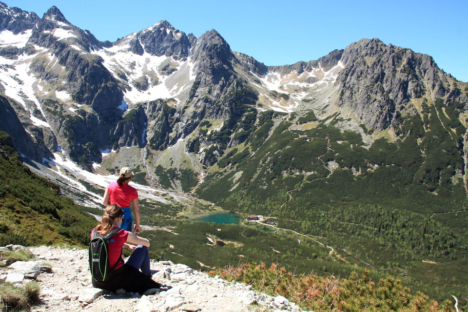
There are lots of hiking possibilities for hiking in the High Tatras, but this hike is just my most favourite. During one day you will see 3 tarns, walk beautiful hiking trails at the foot of the high summits with the views of the valleys, ascend to 2 000 meters high peak and eat lunch at the shore of a tarn surrounded by the monumental peaks.
You can ease the difficulty of the hike. Just take the cable car in Tatranska Lomnica to reach Skalnate pleso as we did. It will safe a lot of energy, that you will need later that day. You can also start to walk by the green trail from Tatranska Lomnica to Skalnate pleso and afterwards follow the red trail to Zelene pleso. From there walk the yellow trail to Kezmarska Biela voda to get back. You will have to wait for a bus to get back to Tatranska Lomnica or to call a taxi.
There are no more words needed. Just look at all the pictures below.
If you would like to walk this trail on your own, contact me for more information if needed.
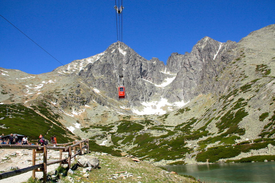
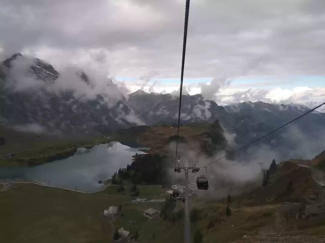
The starting point of the hike - Skalnate pleso.We used the cable car to reach Skalnate pleso from Tatranska Lomnica. The cable car in the picture is heading to the Lomnicky stit peak, which is the 2nd highest peak of Slovakia.
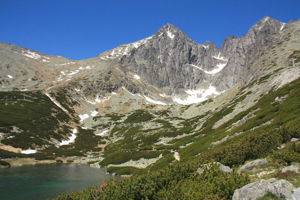
The tarn and Lomnicky peak above
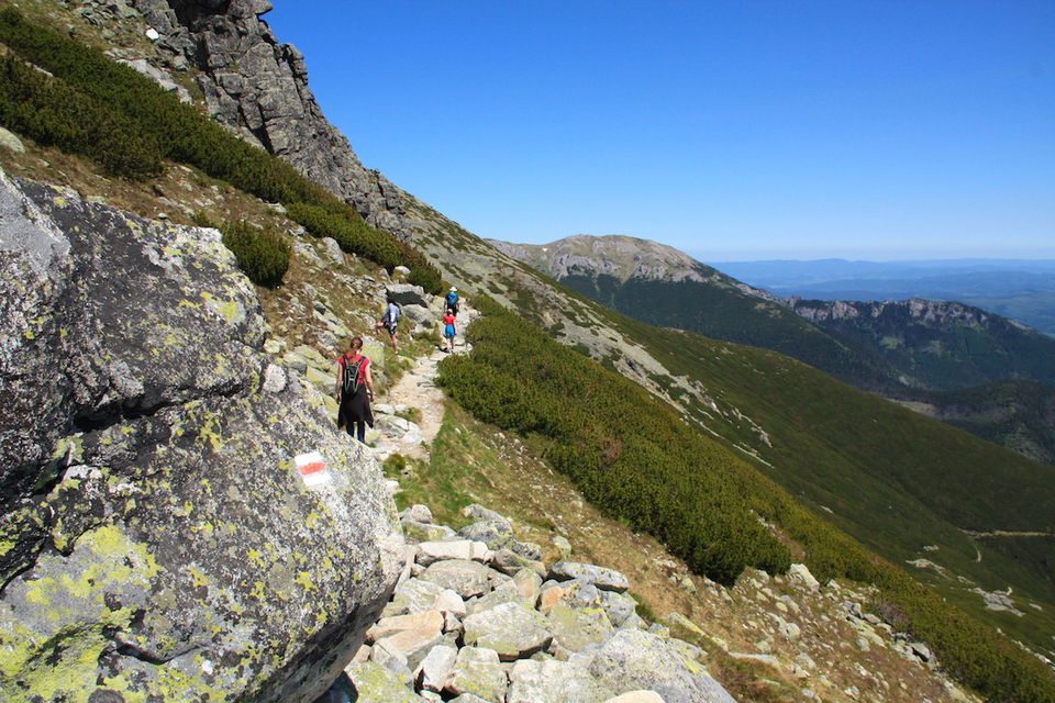
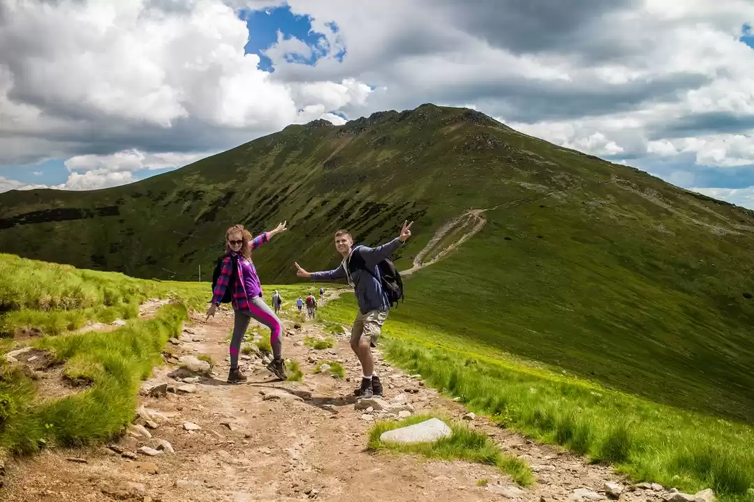
Heading to the Velka Svistovka - peak with an altitude of 2 037 m. a.s.l.
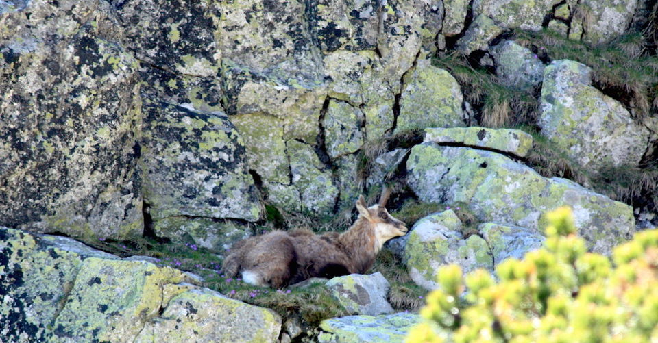
Other hikers showed us this chamois
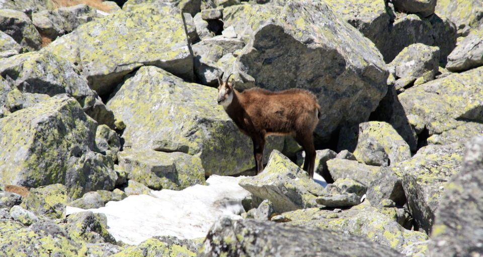
...after a while we spotted also another one.
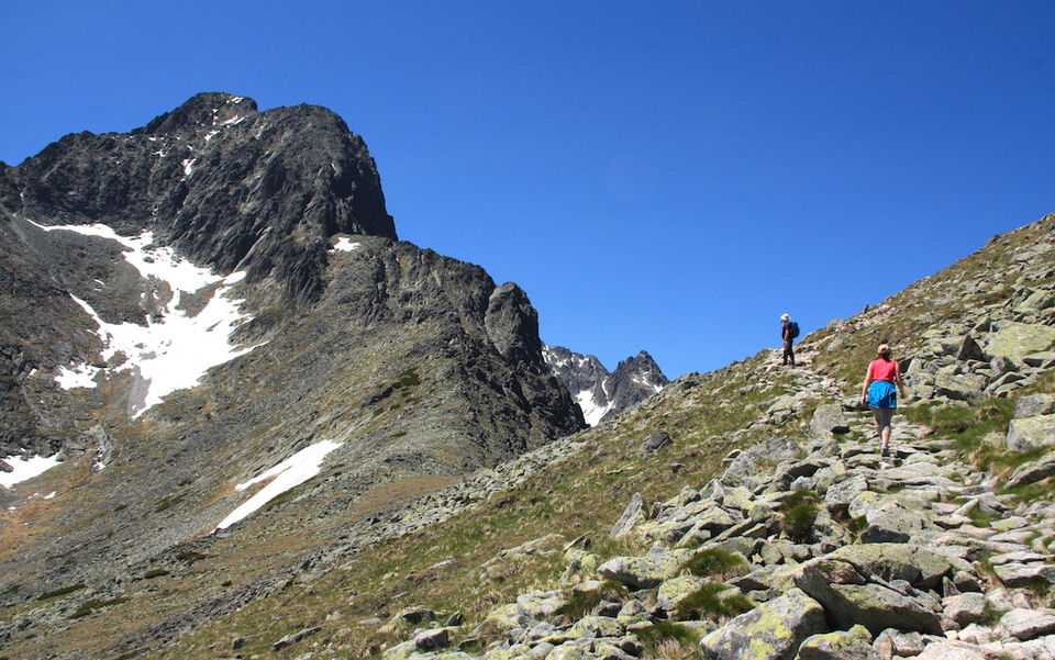
Almost at the summit of the Velka Svistovka
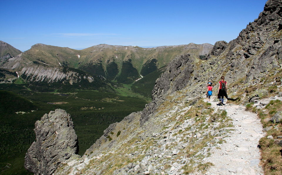
Descending to the mountain hut by the Green glacier lake
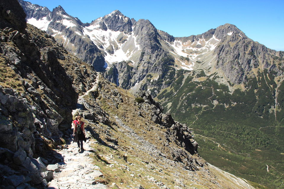
Still walking and waiting for a view of the Green glacier lake
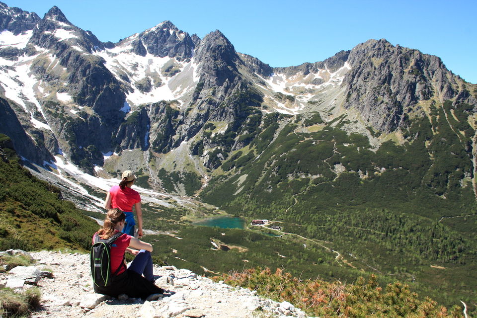
...and finally we saw it. Amazing view.
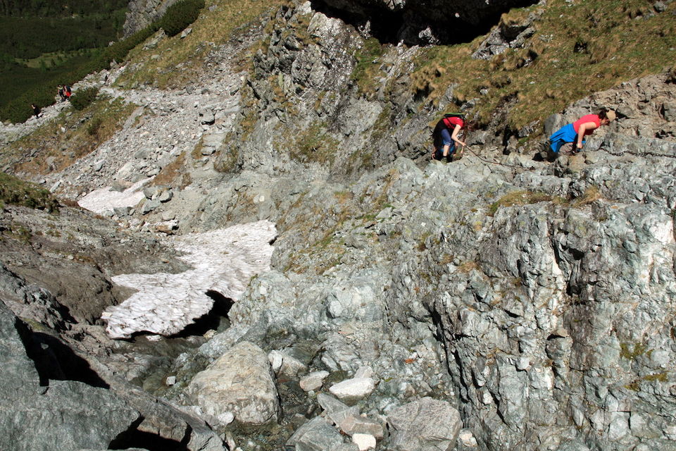
This part of the descend was a little bit more adventurous. You have to use the chains while going down.
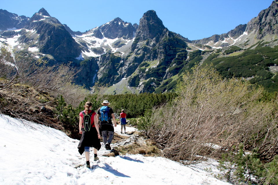
It was the beginning of June, but there was still snow scattered everywhere.
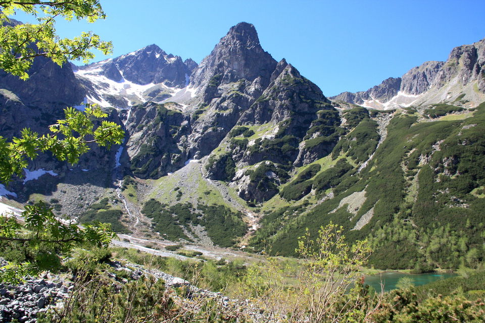
The Green glacier lake in the bottom right corner
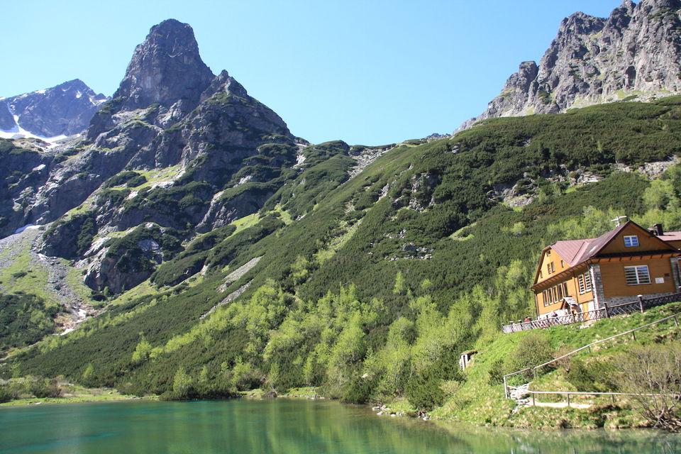
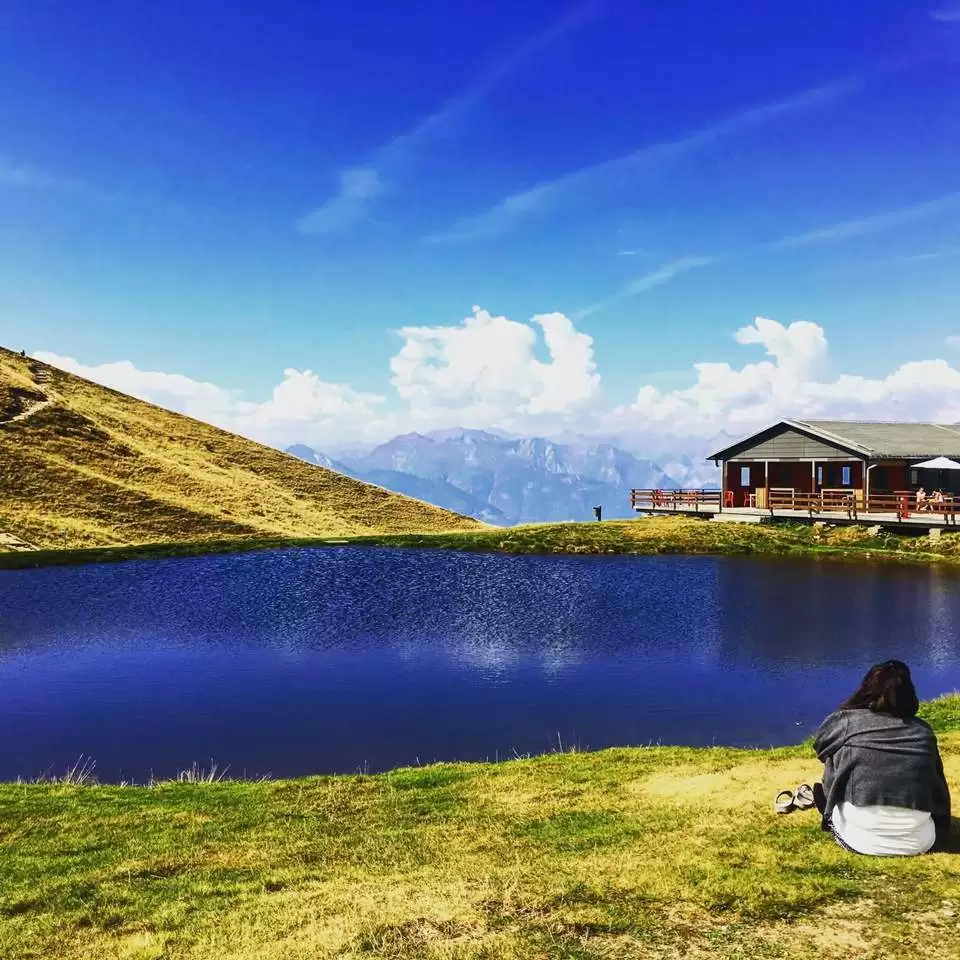
We ate the lunch at the terrace. We were sad when it was time to leave.
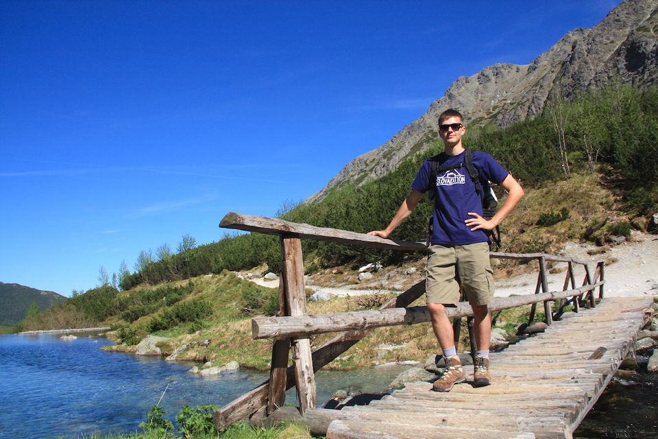
Crossing the lake
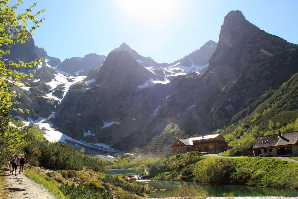
Leaving this amazing place
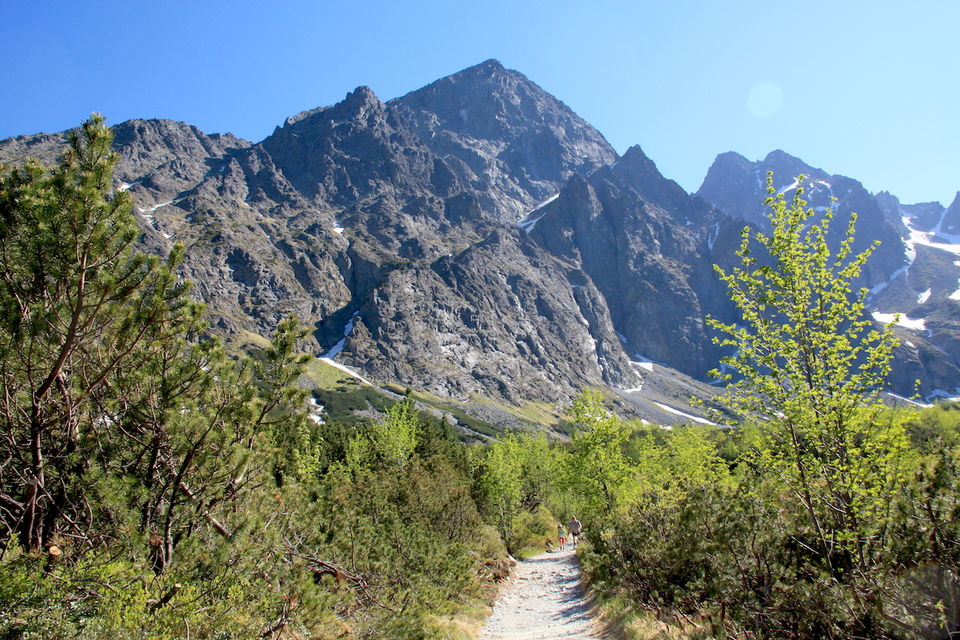
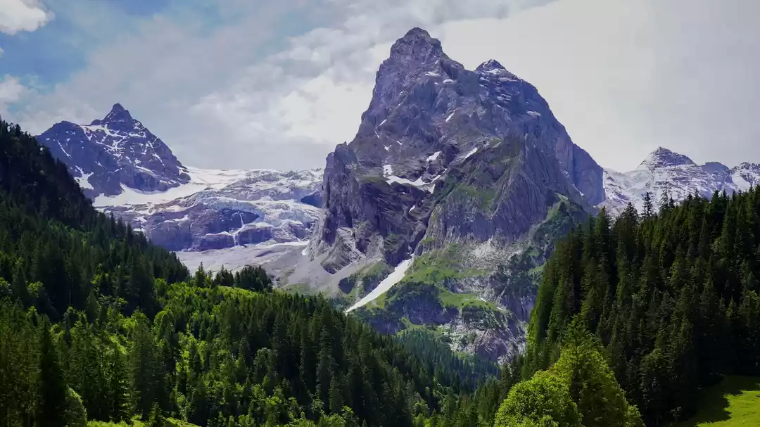
A look back at the Kežmarský štít. We had an amazing time that day.
You can look at my blog and see the trail at the map at the end of the blog post for more information.

