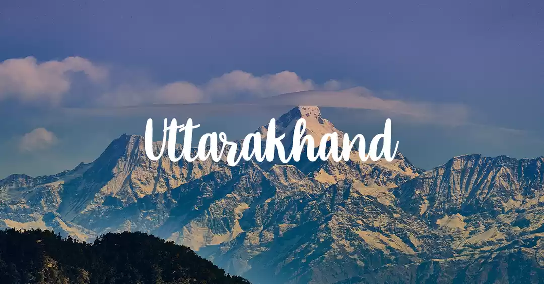

Hello Bawa Log, welcome to the article. In this post, you will know about the highest peak in Nainital district, how to reach there, where to stay, what are the difficulties you would be facing while climbing the peak, how much time will it take to reach the peak, and what views you would be sighting from the peak.
What is Bhramasthali Peak?
Bhramasthali Peak is the highest peak in Nainital District at 2623 metres (8656 ft.) followed by China Peak.

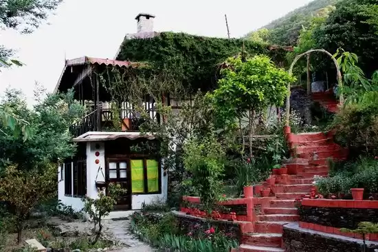
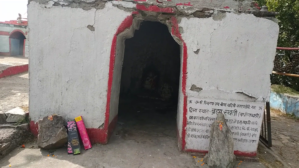
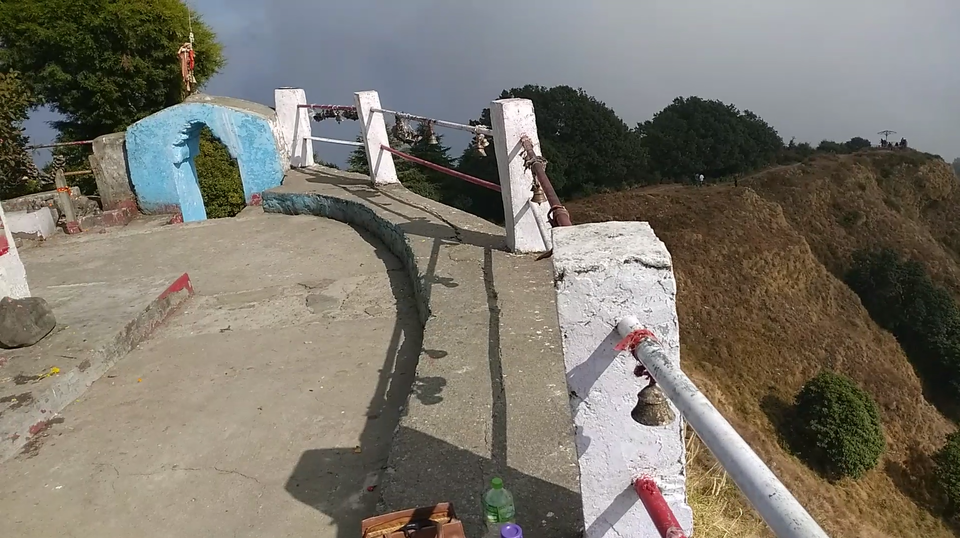
The peak is dedicated to Bhramasthali temple (temple of Lord Brahma). Locally, Bhramasthali serves as the badhaan devsthali ( बधाणथली ).

Earlier in the mountainous region, people were dependent only on animal husbandry and agriculture. They used to offer the first produce of their farm and cattle to the deity (बधाण देवता), so that the farming and animal husbandry flourished in their homes. This ritual is carried till now and still, quite a significant number of people are performing the rituals. At the peak resides a baba ji (sadhu), who believes to be the incarnation of the deity.
How to reach Bhramasthali Peak?
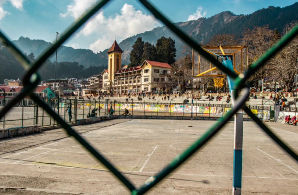
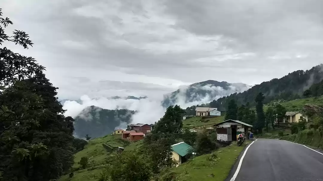
One can reach Bhramasthali Peak either from Nainital or directly from Kotabagh (near Ramnagar). To reach the Bhramasthali peak from Nainital, you should take the route Nainital - Pangot - Guggu Kham - Bhramasthali. Pangot is around 16 km from Nainital. From Pangot you will reach Guggu Kham at around 5 km. At Guggu Kham there is a direction board which says the Bhramasthali is at 8 km. After Guggu Kham you have to drive 8km further towards Kunjakharak. So to reach Bhramasthali from Nainital one has to travel 29 km.


To reach the Bhramasthali peak from Kotabagh, you can take the direct route to Guggu Kham which is about 56 km. After Guggu Kham you have to drive 8km further towards Kunjakharak to reach the base of the trek.
Where to stay?
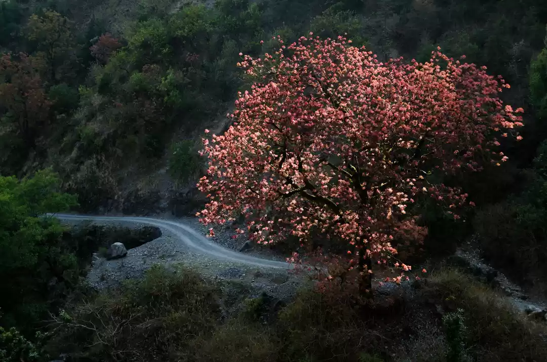
If you are a nature lover and loves hiking then Bhramasthali Peak trek is best getaway for you. So to enjoy the serenity of Bhramasthali you should give maximum of your day. It is better to start your hike early in the day and spend your much time at peak. You can either book a hotel at Nainital and reach it by night prior day to your hike to Bhramasthali, or you can book rooms at resorts in Pangot. Pangot is densely populated with vegetation. The forest is quite untouched because of the Naina Devi Himalayan Bird Conservation Reserve which covers the entire region from Barapatthar to Kilbury to Pangot to Guggu Kham to Vinayak. Pangot is the cool and quiet environment to live in and one can spot various species of Himalayan birds chirping and flying around. You can also book resorts/hotels in Kotabagh (near Ramnagar).
How much time does it take to reach the peak?
The trek is about 4 km and it took me around 35 minutes to reach the peak.

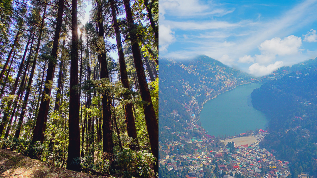
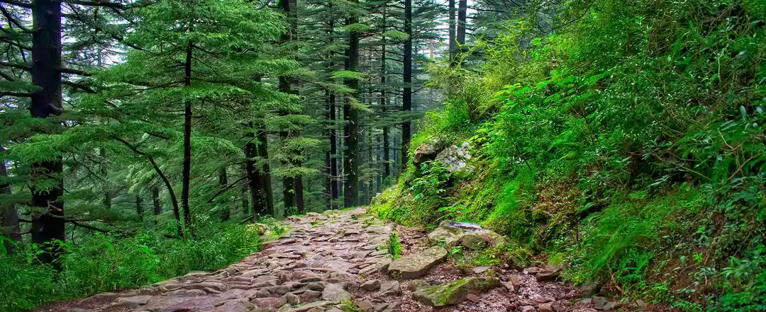
There is a rocky pathway for around 2 km and then a serene pathway through Deodar and oak forest to reach the peak.

I will put the trek in the simple to the moderate bracket. One will feel the cool breeze from the Deodar (Cedrus Deodara) and Banj Oak (Quercus Leucotricophora) trees.

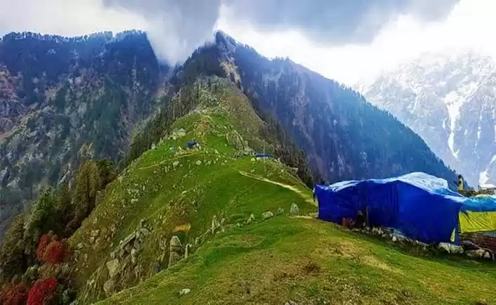
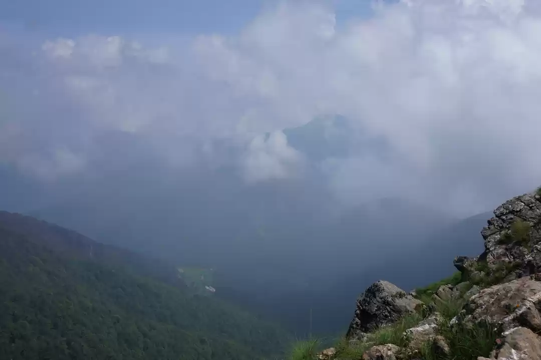
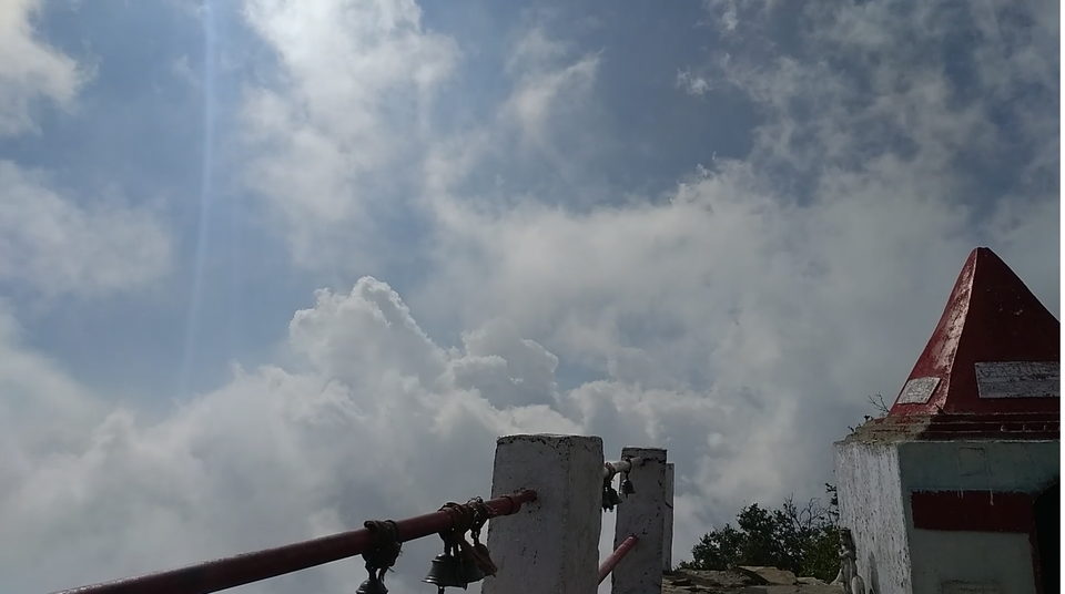
The clouds around the mountain and height could be challenging to people having altitude issues and breathing problem, but is the perk to walk through the dense clouds.
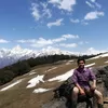
What are the sights from the peak?
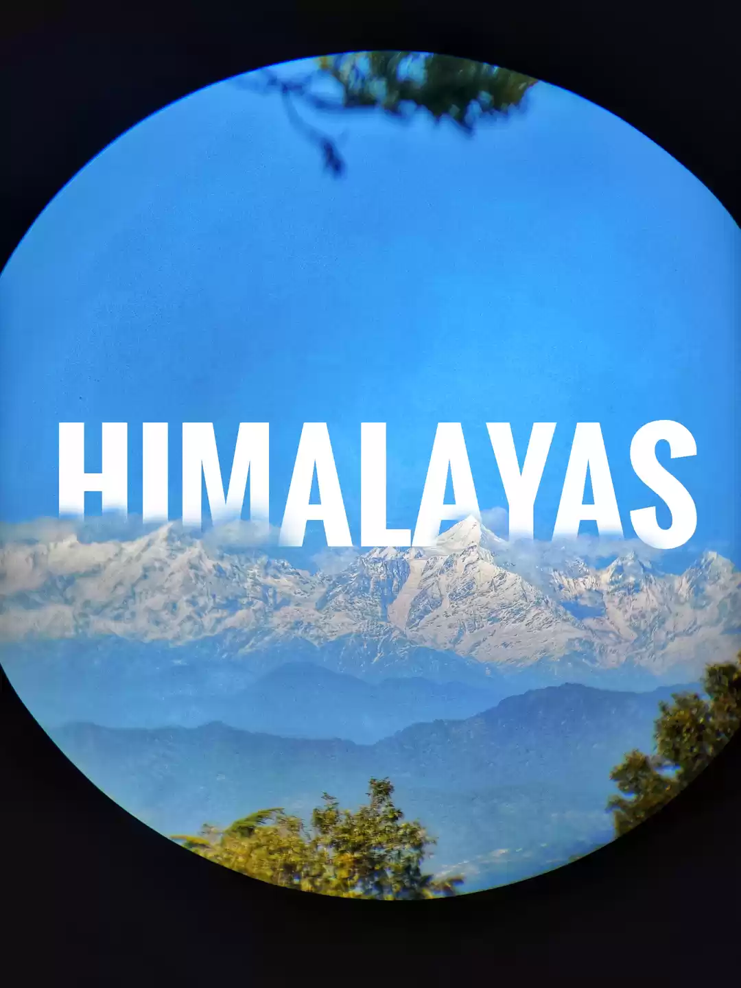
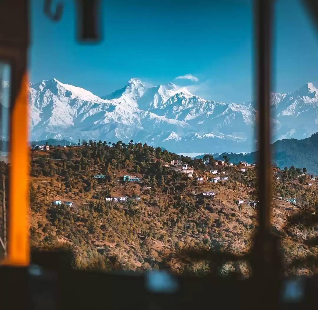
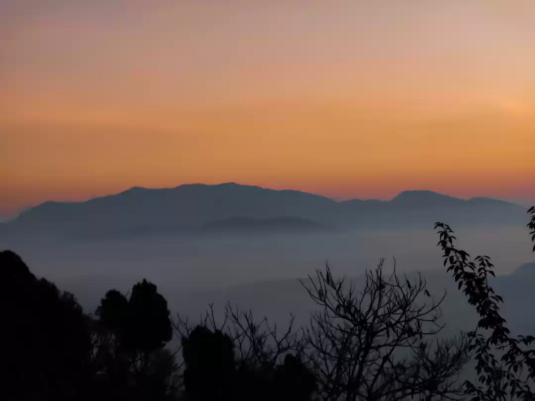
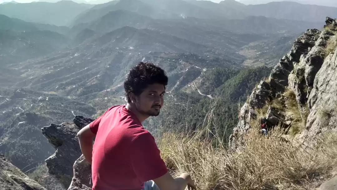
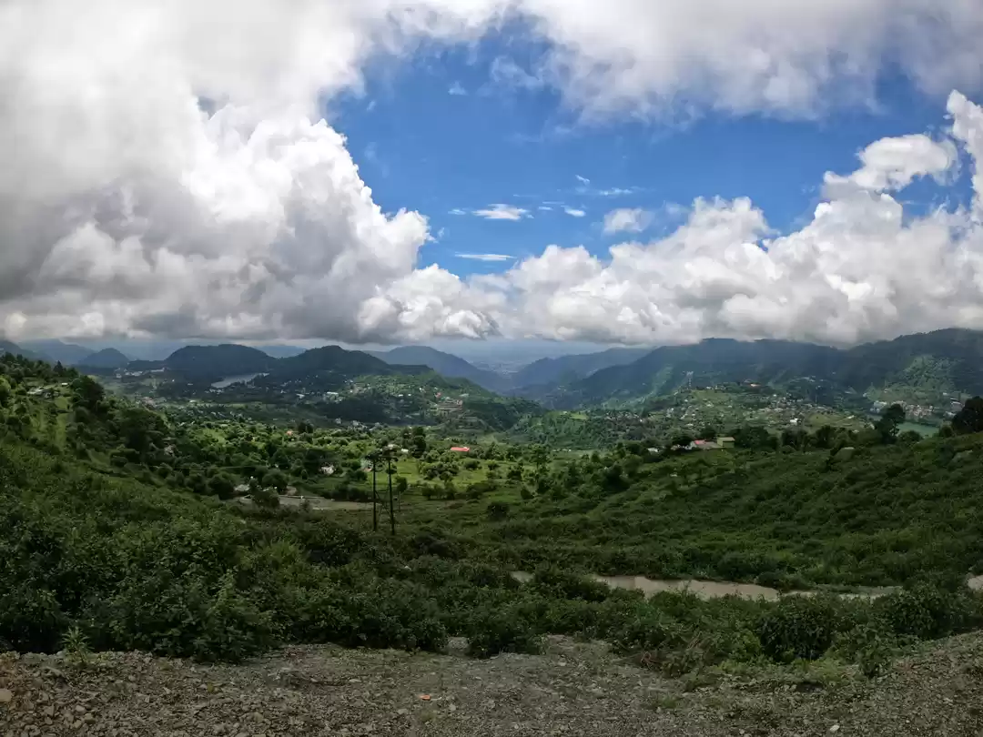
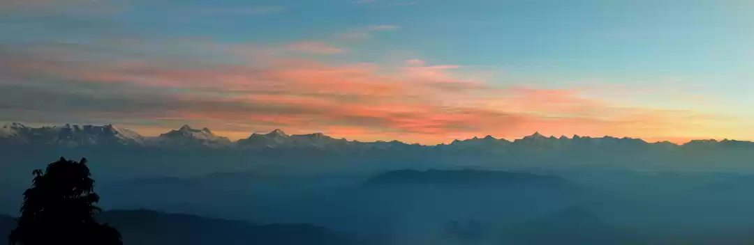
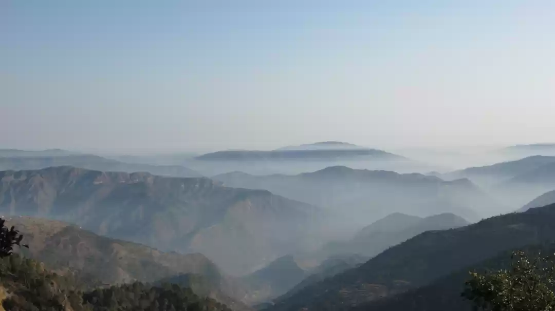
During the hike, you will see the Sour village, Betalghat, Khairna, Almora, Syahi Devi, and many other nearby regions. And yes all seems so below your eyesight level. On a fine clear day, a wide view of the Himalayas can also be spotted, making the trek one of the best from Geographical point of view.
The peak is the highest in the region so you won't see any mountain trailing above you in near about.
Conclusion
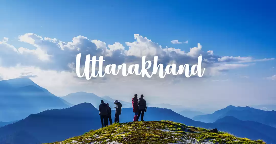
The Bhramasthali Peak is the highest peak in the Nainital district and it was the perfect one-day spending there. The environment is too cool and relaxing. The 4 km trek to the peak was just so less to get attach to the ecosystem there. It is the perfect getaway for nature lovers and one who loves to hike.
जय कुमाऊं! जय पहाड़! जय उत्तराखंड!
A humble request: After visiting the peak, please make sure that no waste is left and that no vegetation and wildlife are damaged. Please leave the environment and serenity of the forests unaltered.)
(एक विनम्र निवेदन: चोटी पर जाने के बाद, कृपया सुनिश्चित करें कि किसी प्रकार का कूड़ा या कचड़ा न छूटे और कोई भी वनस्पति और वन्यजीव क्षतिग्रस्त न हुआ हो । कृपया जंगलों के पर्यावरण और शांति को अनछुए के रूप में छोड़ दें ।)
' fill='%23359391'%3e %3cpath d='M46.1538462%2c43.5714286 L41.5%2c50 L36.8461538%2c43.5714286 L36.8670256%2c43.5714286 C36.3173077%2c42.7142857 36%2c41.6851429 36%2c40.5714286 C36%2c37.4854286 38.4535641%2c35 41.5%2c35 C44.5464359%2c35 47%2c37.4854286 47%2c40.5714286 C47%2c41.6851429 46.6826923%2c42.7142857 46.1329744%2c43.5714286 L46.1538462%2c43.5714286 Z M41.4294872%2c39 C40.6150641%2c39 39.9487179%2c39.675 39.9487179%2c40.5 C39.9487179%2c41.325 40.6150641%2c42 41.4294872%2c42 C42.2439103%2c42 42.9102564%2c41.325 42.9102564%2c40.5 C42.9102564%2c39.675 42.2439103%2c39 41.4294872%2c39 L41.4294872%2c39 Z' id='Location-white'%3e%3c/path%3e %3c/g%3e %3c/svg%3e)