
Here, in this blog we'll learn about the origin and the geological significance of Spiti Valley. Some of the information is mind-boggling, so welcome to this middle land and its mysteries.

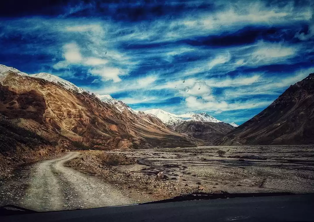
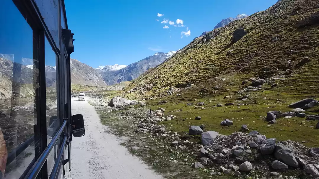
Lahaul and Spiti is a stunning example of a cold dry desert dominated by bare rocks, steep slopes and narrow river valleys. The valleys are dominated by the serrated peaks of the Greater Himalayas in the north which separate the district from Tibet in the north and Ladakh in the west, and Middle Himalayas in the south which separate the district from the rest of Himachal Pradesh.
GLACIERS and RIVERS
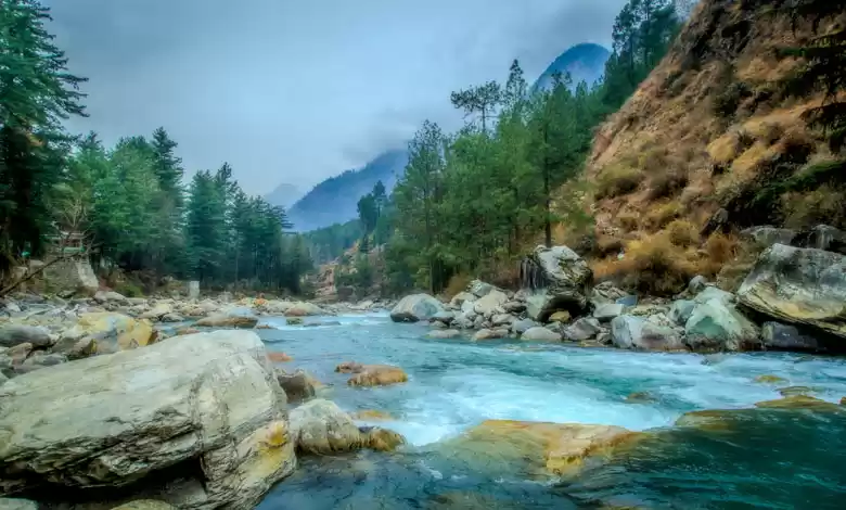
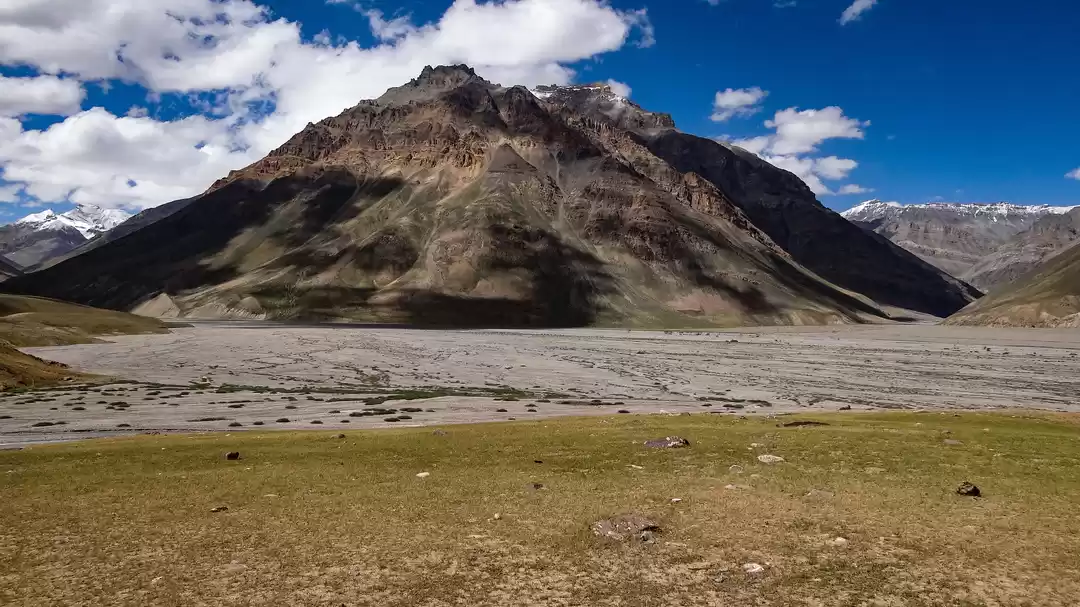
Stretching out from between these peaks are the glaciers that feed the Chandra, Bhaga and Spiti rivers and their tributaries. Some of these glaciers like Samundri Glacier which feeds the Chandra River, and the Bara Shigri Glacier are a trekker's delight. Nearly 28 km long and several kilometres wide at its widest, the Bara Shigri is the largest glacier of the Lahaul Valley of Himachal Pradesh. It opens out onto the Chandra Valley and adds its waters to the river. It is located in a cirque on the middle slopes of the main Himalayan range. Small tributary glaciers feed the main glacier. The entire tract is devoid of a vegetative cover. High mountains surround this glacier on three sides. All around are the great peaks of the Parvati headwaters -- White Sail, Indrasan and, further up the range, Kulu Makalu and the Parbati peak itself.

The Lahaul and Spiti valleys straddle the greater Himalayas and are cut through by the Chandra and Spiti Rivers, and their tributaries. Then entire district is a cold desert whose bare rocks and steep slopes stare visitors in the face.
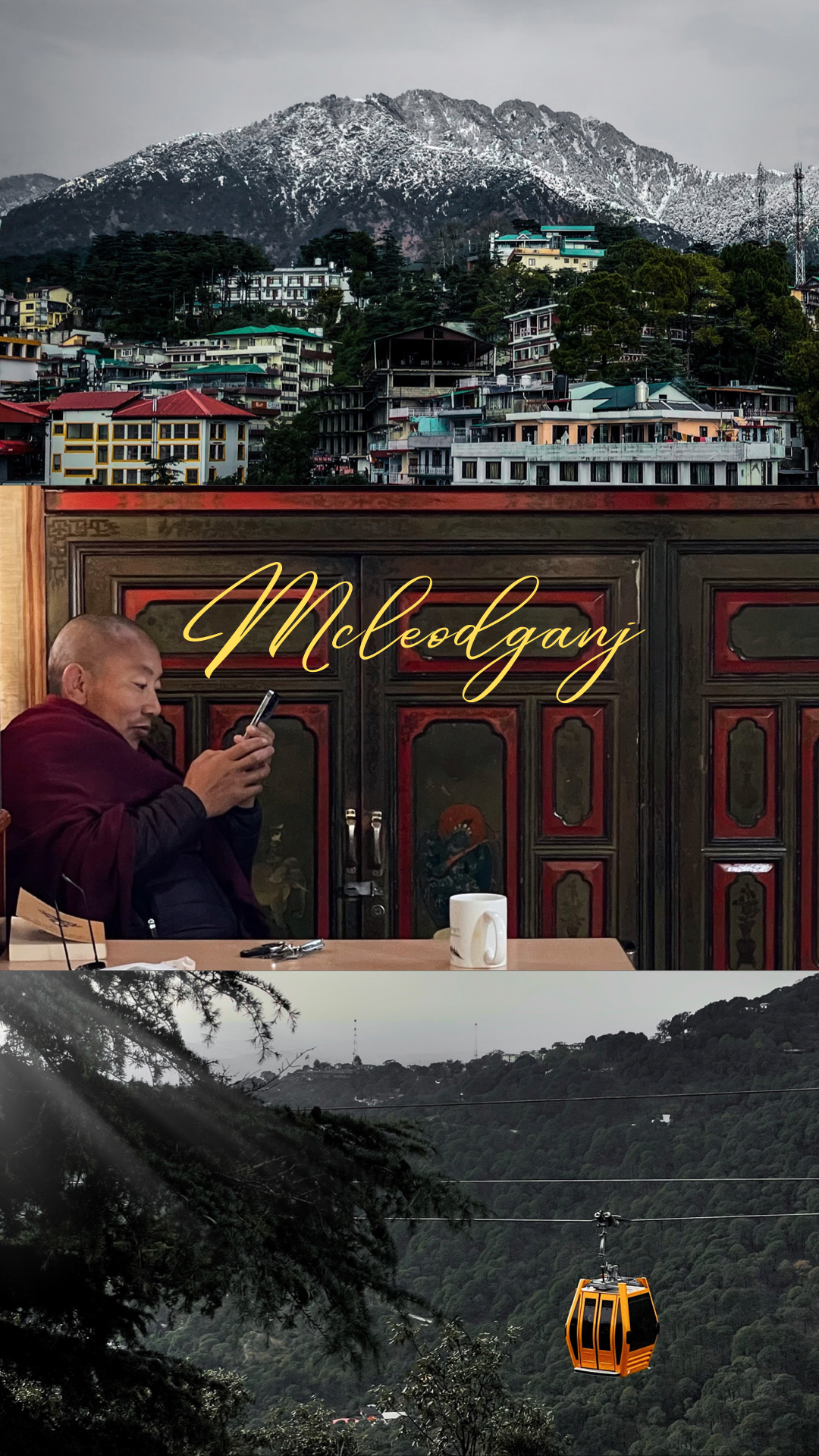
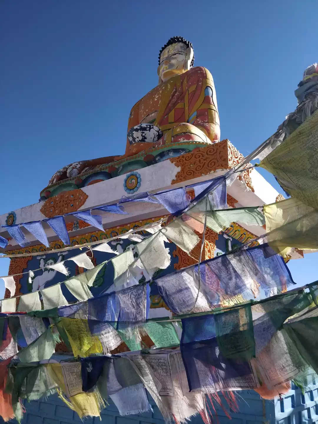
Lahaul abounds with monastries (gompas), the homes of lamas (Buddhist monks); therefore Lahaul is often referred to as the 'land of lamas'. High peaks, narrow river valleys and mammoth glaciers dominate the topography of Lahaul. The valley is surrounded by a series of high mountains cut through by the Chandra & Bhaga rivers, which constitute the Chandrabhaga/Chenab River after their confluence at Tandi. Main Himalayas lie in the north and mid Himalayas are to the south with joining ranges on the east and the west. The mountains rise to a mean elevation of 18000 feet, with the highest peak touching over 21000 feet. Some of the famous glaciers are Bara Shigri, Chhota Shigri, Samundri glacier, Sonapani glacier, Gangstang glacier and Perad glacier. The gateway to Lahaul is through the Rohtang Pass, which connects Lahaul with Kullu district. The name Spiti (Tibetan: Spiti) means “middle land”: the land between India & Tibet and the valley is cut through by the Spiti River and its tributaries before it joins the Sutlej at Khaab.
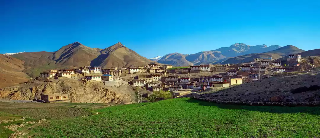
Spiti stands back to back with Lahaul and is even more difficult than Lahaul in terms of, terrain, climate and habitation. At a mean elevation of 4570m, Spiti is less accessible and less developed, is vastly different from the regions that surround it, and thus has its own mountain ranges. Spiti mountain ranges belong to the Great and Middle Himalayas. The average elevation of the mountain ranges is over 5,485 metres above sea level. The Tsarab valley has a minimum elevation of about 4,270 metres and the lowest parts of Spiti valley are considerably higher than 3,350 metres above sea level. The drainage of the northern waste of Tsarab flows into the Indus, while that of the main Spiti valley, and its tributaries, join the Satluj at Khaab.

LOCAL PEOPLE DIVIDE SPITI INTO FOUR UNITS.
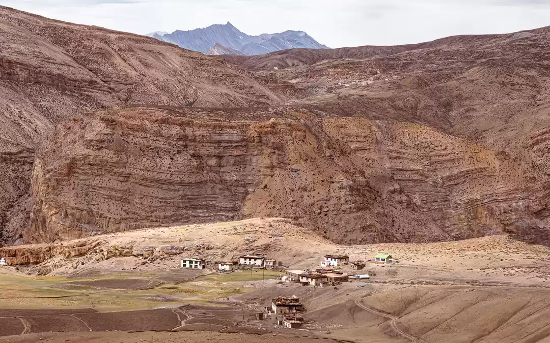
Sham (lower region) lies on both sides of the main Spiti river between its confluence with Lingti and its junction with the Pare Chu. Pin lies on both sides of the Pin River. Pin is the home of chaumurti horses and the mysterious Buzhen lamas, famous for performing a unique trance ritual in which demons hiding in a rock are banished after a long ceremony in which the rock is broken on the chest of a monk. Bhar (middle region) is the local name for the Spiti valley lying between the point where Shillah Nullah meets the main river about three kilometers above Kaza and Sham. Bhar owes its importance to Spiti's biggest monastery, Kye Gompa, and to its second most beautiful, the Serkhang of Lhalung in the Lingti valley. Tud (higher region) includes all portions of the territory above Bhar. This region includes several minor but important villages like Hansa, Kyoto and Losar which have preserved the traditional lifestyle of the Spitians. It’s easy to circuit all these regions if you are travelling through Spiti. If you enter Spiti from Lahaul (via Manali), you first enter the higher Tud region (Losar and Hansa), then drive through the middle region of Bhar (Kaza) and exit through the lower Sham region (Dhankar and Tabo). A side trip to the Pin Valley brings you to the Pin region and a chance to see rare wildlife like the ibex and snow leopard.

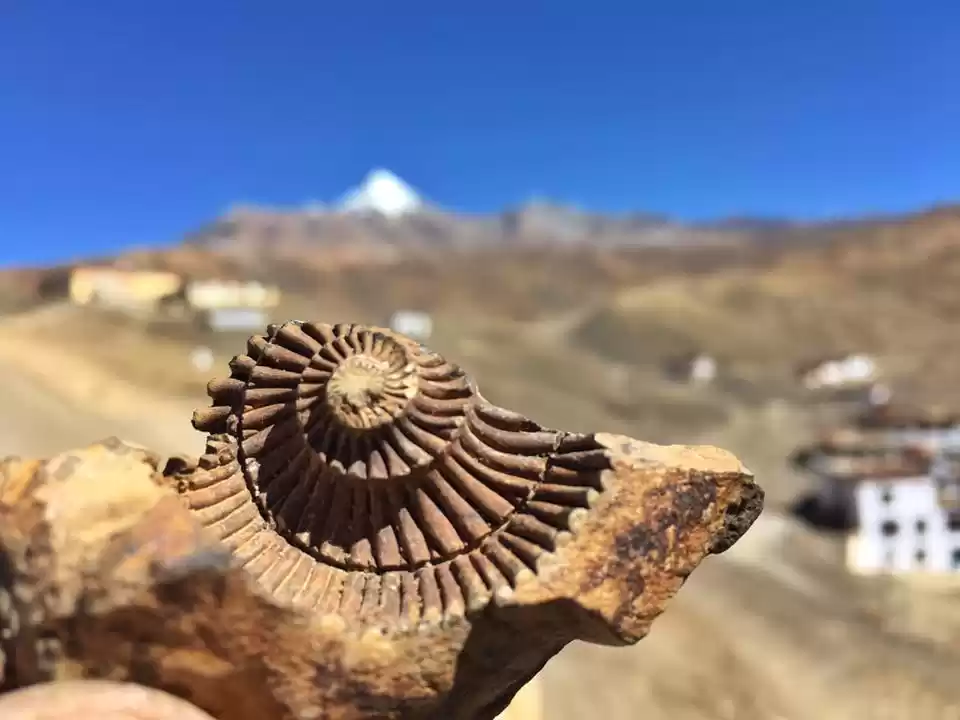
FOSSIL RICH SPITI VALLEY
Spiti is considered one of the most fossil rich areas in the world by the Geological Survey of India and the Geological Society of America.
At approximately 4400m above sea level, the fossils found in the village of Langza in the cold desert of Spiti Valley, bear testimony to the collision of the Indian and Eurasian tectonic plates that led to the formation of the Himalayas in the Cenozoic period, nearly 50 million years ago.
Professor Rajeev Patnaik at the Department of Geology, Punjab University confirms that the fossils we came across at Langza belong to the late Jurassic Age and are approximately 150 million years old.

In 2016, many marine fossils were found like ammonites, terebratulids, belemnites and oysters from the area.
Ammonites were marine predators with a spiral shell that became extinct around the same period as the dinosaurs – 65 million years ago. They were known to breed prolifically, resulting in a large number of ammonite fossils.
The Spiti Valley has attracted geologists from the 19th century onwards, with pioneering palaeontological contributions being made by Stoliczka in 1866 and Hayden in 1904.
The valleys formed by the Pin and Spiti rivers are rich in fossils. Besides Langza, fossils and corals have also been found in Mudh and Guling.


Himalayan Geology Division, Geological Survey of India, says, “Geologically the Langza section consists of Tagling (bedded limestone) and Spiti Formation (black shales) and ranges from the Lower to Upper Jurassic period.”
The children of Langza collect the fossils and sell them to tourists as souvenirs.
The local name of fossil here is ‘chaudua’ and can be easily found in and around the village. The fossils are Cephalopoda.
A visit to Langza is not complete without fossil hunting, the easiest way to find these fossils are to go higher around the mountains in Langza and to look for them under the rocks.
There are also two high altitude lakes around Langza namely Tsonyeti and Chumo Tso. These lakes are around 3-4 hour hikes from the village which could be difficult for travellers, owing to the low oxygen and high altitude of the region.
GEOLOGICAL BACKGROUND
Spiti 's environment must be understood in the context of its geological history. The present location of Spiti was in pre-historic times the bed of the Tethys sea, separating the Asian mainland from the Gondwana continent. As the latter moved towards the former, the tectonic plates rubbed against each other, and the movements of the earth's crust pushed up the intermediate ground of the Tethys sea. Over time the sea dried up, the greater Himalayas rose to create the arid climate of today and Spiti's landscape became a geologist's paradise. If you want to read about how Himalayas were formed, click here, the article is next in Line!

In terms of area, the cold desert of Spiti may be too tiny as compared to four major deserts of the world e.g. deserts of western and south-western North America, Patagonia, Turkistan and the Gobi. But in terms of its high mountains, extreme climate and poor economic conditions of the people, it is one of the worst scourged areas on earth. The condition of Ladakh, yet another mountain desert in its neighborhood, is however, different. Apart from its other 'bounties of nature in Ladakh, valleys are laden with fruit and its lush meadows are a heaven for the animal wealth.
THE ORIGIN
The origin of the Spiti people is uncertain although some linguistic research has tried to trace links with the central Indian Mundas. First known references are from the seventh century AD and show the existence of a Hindu kingdom. However, by the eleventh century Buddhism Clearly established as the dominant religion, following the political and cultural supremacy established over this area by Guge (Western Tibet). In 1841, are Dogras under Jorawar Singh, .took over Spiti followed by a marauding raid by the Sikhs. In 1846 following the first Anglo-Sikh war, Spiti was among the areas made over to the Dogras but in the same year the British exchanged it for other territory and it became part of British India till independence.

FLORA and FAUNA
The flora and fauna of Lahaul and Spiti has evolved to survive in the cold and dry, high-altitude, low-oxygen environs of this cold alpine desert.
Flora: In Spiti, the main vegetation is grass, small shrubs such as hippophae, rosa, ephedra, salix, artemesia and potentilla, and trees, which are short and stunted. The vegetation in the area is extremely sparse because the entire valleys is covered under snow for six months of the year, and there is practically no rainfall. Recent efforts at greening the valley can be seen in plantations of willows and poplars around hamlets and the banks of the rivers. Good mangroves can be seen around Hurling, Poh, Tabo, Shichling, Kaza, Lossar and Pin valley. Spiti is also rich in herbs and rare medicinal plants. As many as four hundred varieties of these plants and herbs have been identified in the valley.
Fauna: The most commonly found animals are Himalayan blue sheep\Bharal, locally called Nabu, Himalayan fox, snow wolf, red fox, Tibetan woolly hare and Kokar, which is a rodent of the size of a porcupine. The Himalayan Ibex, locally known as Tangrol, is the best-known game animal to the Spitians. It will not be unusual for a trekker to come across large herds of Himalayan ibices, especially in the higher regions beyong Mikkim and Thango villages in the Pin valley. The snow leopard, locally called Jhaptu or Shin, is a dreaded animal found in the higher reaches of the Pin valley. This beautiful cat occasionally comes down to human dwellings in search of prey - a goat or a sheep - and hence is a menace to the villagers. Marmots, snow rabbits and weasels are also seen in the valley. Snakes and reptiles are virtually unknown in Spiti. However, some lizards and some wheatish grey and yellowish snakes have been reportedly spotted below Lari in the valley. The birds that populate the Lahaul and Spiti valley are the Himalayan snow cock, Chukor, Partridges, hill pigeons, red brown crows, red robin, griffins, vultures, blue rock pigeons, snow pigeon and Choughs, among others. Spiti is also a summer breeding ground for Siberian migratory ducks, which migrate to lower and warmer areas in winter.
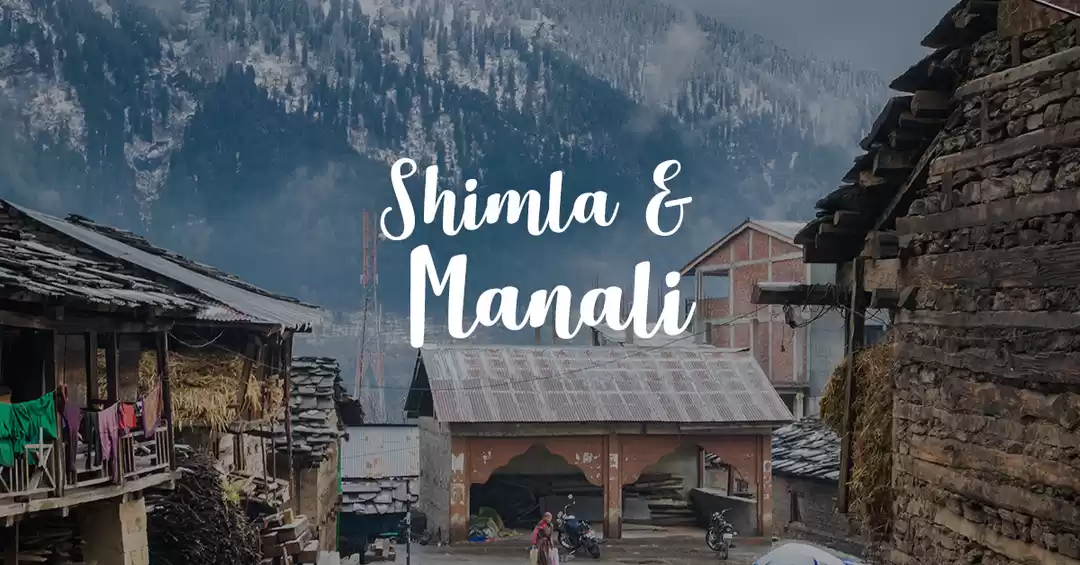
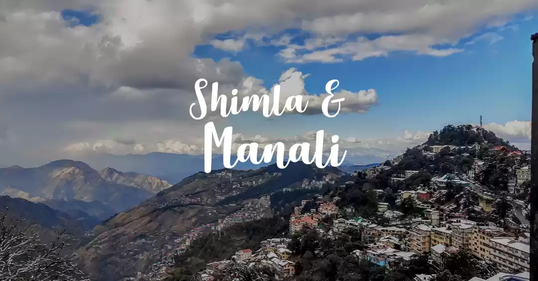
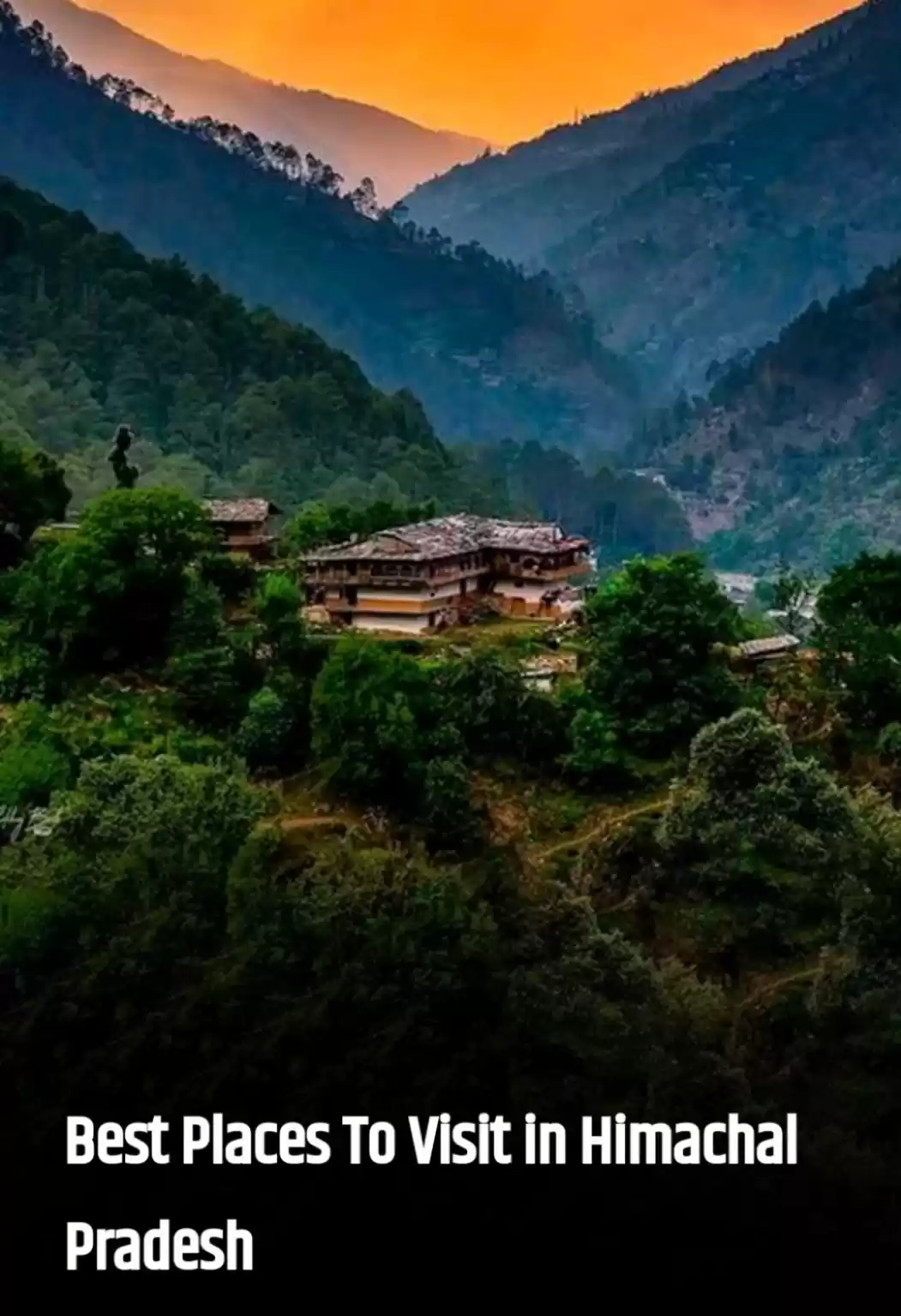
WHY YOU SHOULD VISIT IT?
Visited heavily by tourists in Kullu, the Spiti Valley is one of the famous place of Himachal Pradesh. Spiti Valley is a cold desert mountain valley located 412 km away from Shimla. There are many places to visit in Spiti Valley. Few of these are Komic Village, Langza Village, Lhalung Monastery, Tabo Caves, Tabo Monastery. Tabo Monastery is one of the oldest monasteries in the world and a favourite of the Dalai Lama. Spiti is second home to many Gaddi sheep and goat herders (nomadic tribe of Himachal) who come to this valley in summer for grazing their animals from the surrounding villages.

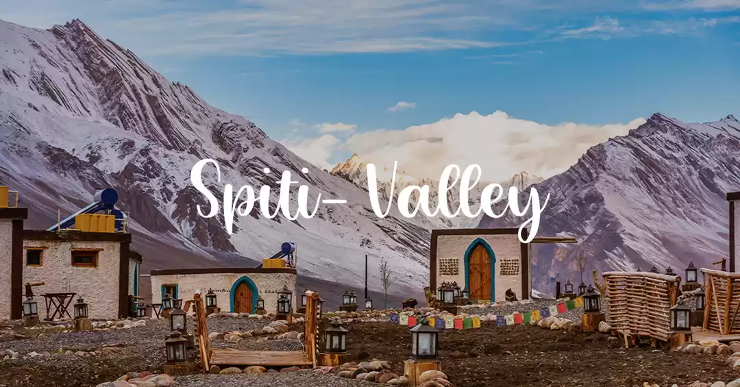
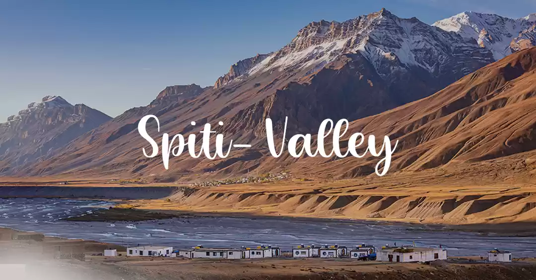
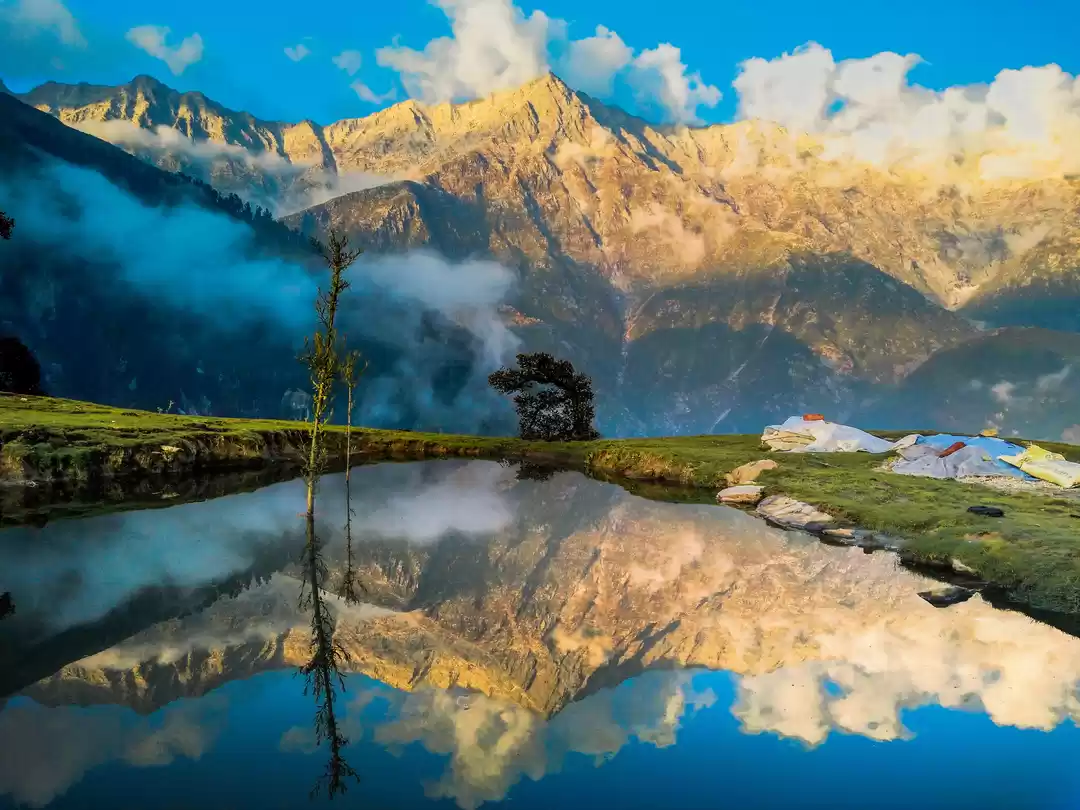
Situated at an altitude of 12,500 feet above sea level, the picturesque valley encased by the Himalayas is an exotic destination and gem of Himachal Pradesh. Snow crest alps, snow carpeted pristine landscape, alpine forest, deep ravines speckled with greenery, glistening glaciers, sparkling azure rivers, splendid monasteries and quaint hamlets embellish the valley and exude a vision of a mesmerizing painting. The surreal beauty of the valley and the monasteries allures tourists and trekkers from all over the world.
Sources: Excerpts from 'Journal of the Palaeontological Society of India', 'Geological Survey of India'. Web Archives from Himachal Tourism plus a little research here and there.

' fill='%23359391'%3e %3cpath d='M46.1538462%2c43.5714286 L41.5%2c50 L36.8461538%2c43.5714286 L36.8670256%2c43.5714286 C36.3173077%2c42.7142857 36%2c41.6851429 36%2c40.5714286 C36%2c37.4854286 38.4535641%2c35 41.5%2c35 C44.5464359%2c35 47%2c37.4854286 47%2c40.5714286 C47%2c41.6851429 46.6826923%2c42.7142857 46.1329744%2c43.5714286 L46.1538462%2c43.5714286 Z M41.4294872%2c39 C40.6150641%2c39 39.9487179%2c39.675 39.9487179%2c40.5 C39.9487179%2c41.325 40.6150641%2c42 41.4294872%2c42 C42.2439103%2c42 42.9102564%2c41.325 42.9102564%2c40.5 C42.9102564%2c39.675 42.2439103%2c39 41.4294872%2c39 L41.4294872%2c39 Z' id='Location-white'%3e%3c/path%3e %3c/g%3e %3c/svg%3e)