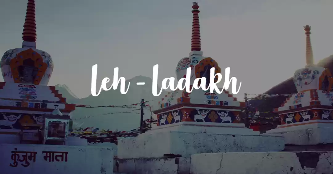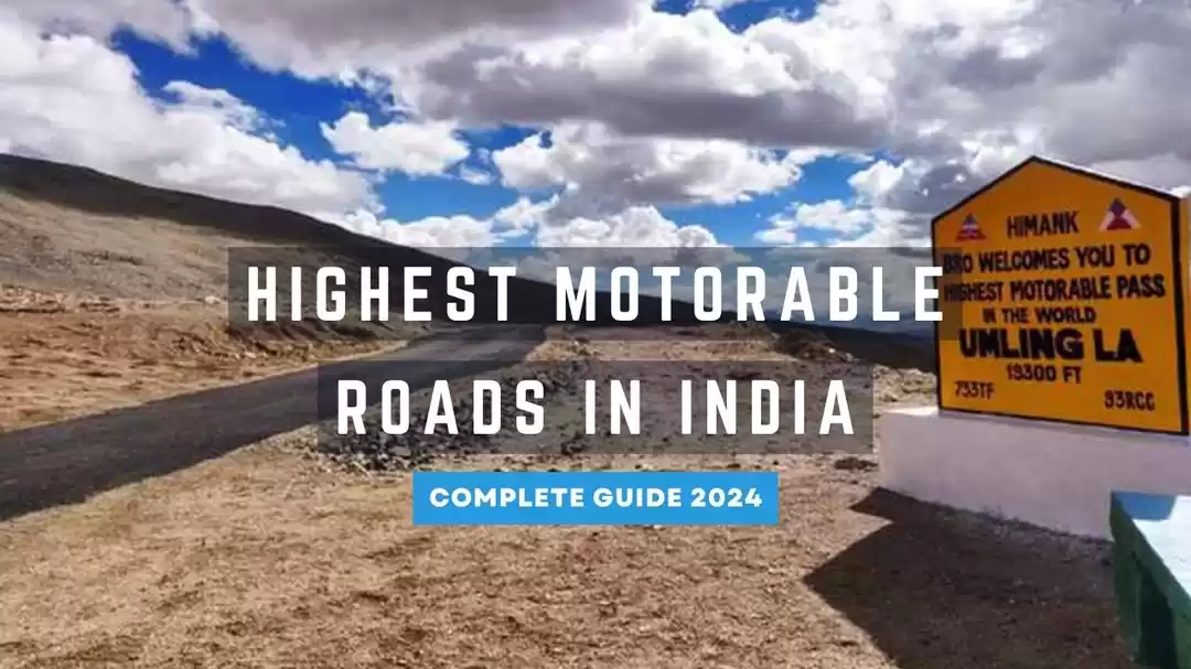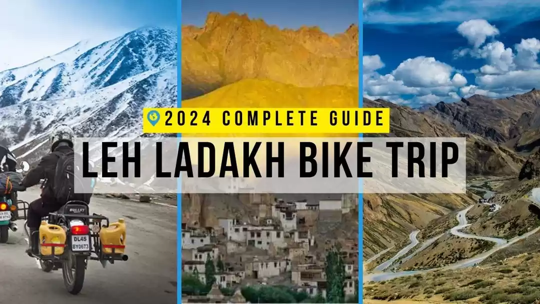
A road trip to Ladakh is perhaps one of the most thrilling road adventures in India as it offers spectacular sights of barren mountains and stunning panoramas.

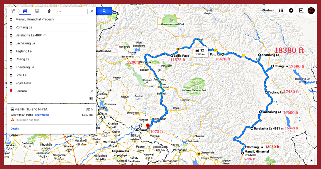
Amongst the two routes for Leh, Srinagar-Leh-Manali side is probably the most preferred one, where one gets a chance to cross and ride on some of the highest motorable mountain passes in the world..
Sharing a brief relevance of all the passes which falls over this route
Banihal: Banihal, which translates to Blizzard in Kashmiri lies at an altitude of 9,290 ft in the Doda district of J&K. Surprisingly, despite being an important route connecting Jammu to Kashmir Valley, many do not even consider it as a pass.

But in reality, it forms the main gateway to the Valley of Kashmir from the Indian plains. The Jammu–Srinagar road enters this pass through the Jawahar Tunnel, which is occasionally blocked by snow in the winters.
Zozi-La: 9 kms from Sonamarg is Zozi La, serving as an important link between Ladakh and Kashmir. Zozila is located at a staggering 11,580 ft, enclosed by Kashmir valley on one side and Drass valley on the other. This pass is considered to be the second highest pass after Fotu La and is said to be one of the most dangerous passes in the world.

The route is a lifeline that keeps the people of Ladakh connected with the rest of the world, but it is often closed during winter due to heavy snow making it impossible for people to reach Ladakh through roads
Namika-La: Namika La is the last pass before entering the Kargil region, situated at a height of 12,136 ft on the way to Mulbek valley. This pass is said to be amongst the three high mountain passes on the road of Leh-Srinagar highway.

Although a barren land, but once you cross this pass, one will immediately notice a change in the landscape replacing it with lush green surroundings
Fotu-La: At an elevation of 13,478 ft, Fotu la is the highest point on the highway, going beyond the dangerous Zoji La.

The drive through the pass is beautiful and this is one point which is considered to be a photographer delight. When one moves eastwards, the highway starts to slide down towards the town of Lamayuru. The sunrise and sunset at this place are stunning.
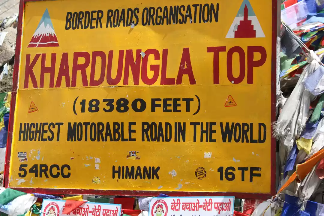
Khardung-La: This pass needs no introduction what so ever. Though debatable but Khardung la is said to be the highest motorable road in the world, elevated at 18,000 ft., 39.7 kms from Leh.

Khardung la Pass is an important gateway connecting Nubra and Shyok Valley as well as Siachen Glacier from Leh. Construction work for the pass began in 1976 and was first opened in 1988. The pass is strategically important because of the tense Indo-China relation. The pass has an Indian Army post and a temple, where people stop to offer their prayers. The road between Khardung la Pass and the North of Pullu has some of the best scenic vistas I have ever seen.
Chang La: Situated at an elevation of over 5300 m, Chang La is considered to be the third highest motorable road in the world, connecting Indus Valley to Pangong Lake region.

The road to Chang la usually remains open throughout the year but can get closed due to unpredictable weather. The Changla Pass is the main gateway for the Changthang Plateau situated in the Himalayas. Road closures can be frequent, so check conditions before traveling to this area. The pass is located on the 134 km-long road between the Pangong Lake and Leh, guarded and maintained by the Indian Army (due its proximity to Chinese border). The last entry to this pass is at 5 PM
Chushul La: Chushul is just a few kilometres from the Indo-Chinese border. With an average height of 16,000 feet, I found it the most stunning part of my entire road trip with stunning landscape around.

Notice the bones kept here at this past by the locals as a part of the blessings
Rezang La: Rezang La is towards the south-eastern side of Ladakh as one enter the Chushul valley. Owing to its close proximity to India-China border, the access to Rezang La is restricted and Indian visitors require permits to visit this area. The story of Rezang la has an emotional historic past, witnessing the bravest battles fought by the Indian soldiers, during the Sino-Indian War in 1962.
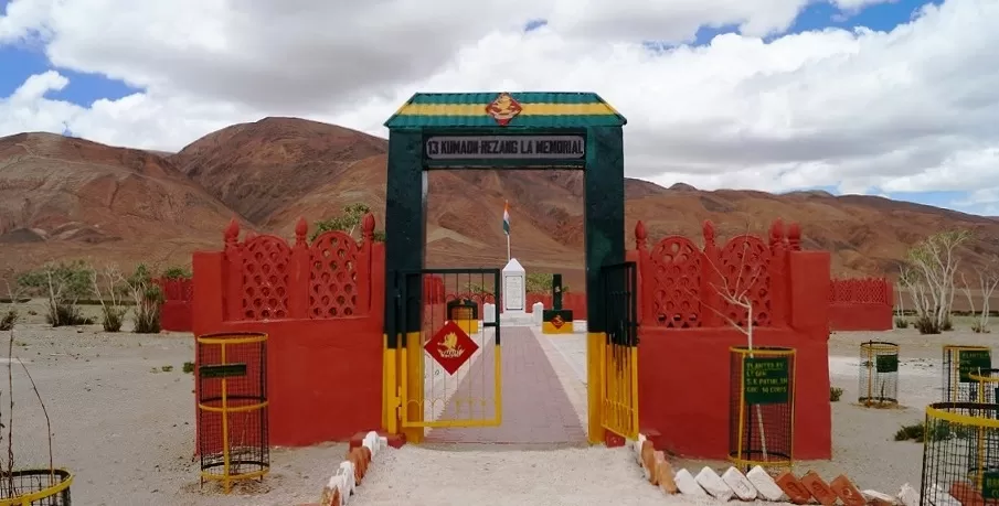
On the cold morning of November 18, 1962, the Indian soldiers came under direct attack from the invading Chinese soldiers. A memorial has been built at Rezang la in the memory of these soldiers. Don't forget to stop over and pay your respect to them
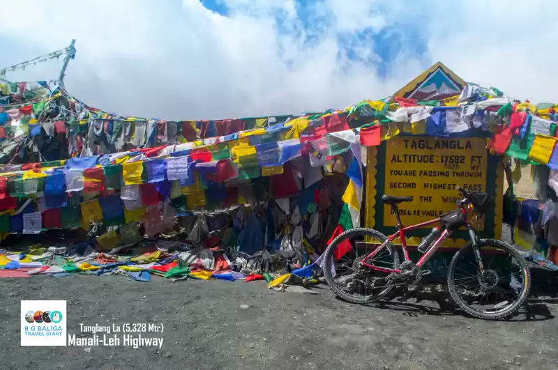
Lachulung La: Lachulung La is located 54 kms from Sarchu and 24 km from Pang, at an elevation of 16,598 ft. It remains open for about four and a half months in a year during summer months, after which it gets close due to heavy snowfall.

Be careful with the driving here because of its unique remote location, which at times test the patience. It is one of the favorite passes amongst the hikers as well as trekkers.
Nakee La: Nakee la Pass is amongst the five passes which falls on Leh to Manali route. It is positioned between Sarchu and Pang, towards Whiskey Nullah where Border Roads Organization camp is present.

You've got to be really careful driving here because of pathetic road conditions. The weather on this zone is harsh and highly unpredictable. There is nothing really special about the pass and most people don't even notice it while crossing this. The terrain is very dry after Nakee la with no streams or rivers en route.
Baralacha La:
Situated at an altitude of 16,040 feet, Baralacha is a high plateau where three different mountain ranges - Pir Panjal, Zanskar and the Great Himalayas, meet. Around 73 kilometers away from Keylong on Manali - Leh road, this pass is the starting point for several treks which include the famous Suraj Tal trek and Chandra Tal trek
During the winter season, the pass remains closed due to heavy snowfall. It is always advisable to cross this pass before Noon. The melting of snow and formation of water stream on the high altitudes of this pass makes it difficult to cross as the day advances

Rohtang Jot - Rohtang is the gateway to one of the most beautiful valleys in Himachal- Lahaul and Spiti. This picturesque pass is located 51 kms away from Manali, at a height of 3980 meters, on Manali Keylong highway.
This mountain slope is so beautiful that tons of people from every corner of the country visit this place to take part in adventure sports such as skiing, ice-skating, paragliding, etc. Rohtang Pass remains open for tourist from April to October. As of now there are restricted car entries permitted from Rohtang to Leh due to high volume of traffic.
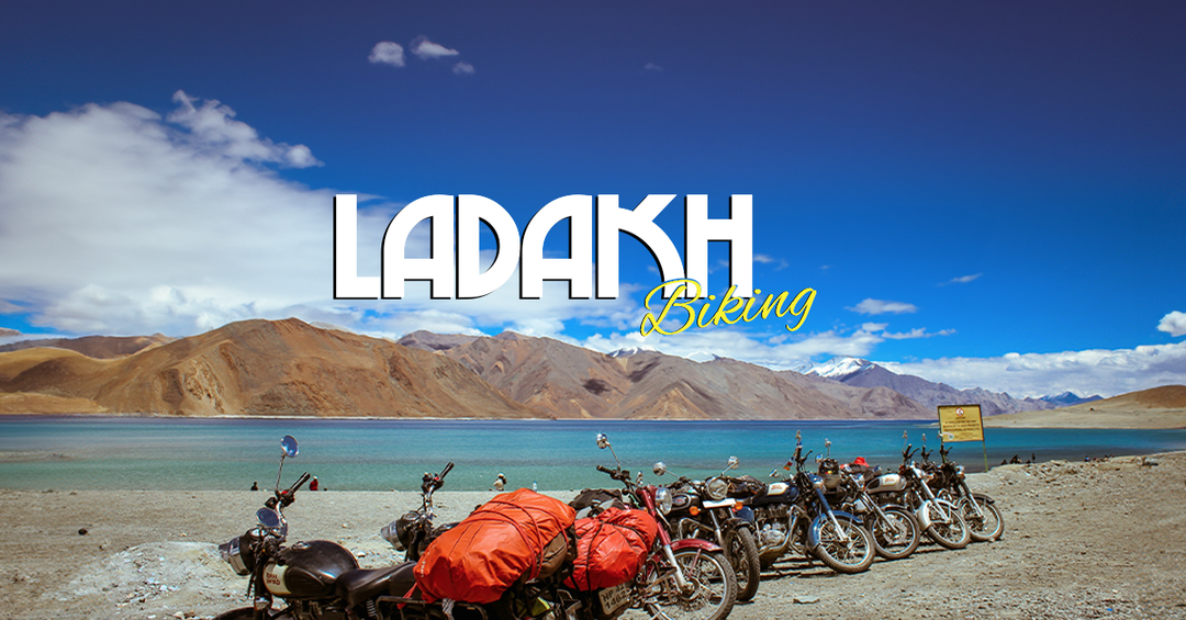
So who all are heading for this epic road trip ?


' fill='%23359391'%3e %3cpath d='M46.1538462%2c43.5714286 L41.5%2c50 L36.8461538%2c43.5714286 L36.8670256%2c43.5714286 C36.3173077%2c42.7142857 36%2c41.6851429 36%2c40.5714286 C36%2c37.4854286 38.4535641%2c35 41.5%2c35 C44.5464359%2c35 47%2c37.4854286 47%2c40.5714286 C47%2c41.6851429 46.6826923%2c42.7142857 46.1329744%2c43.5714286 L46.1538462%2c43.5714286 Z M41.4294872%2c39 C40.6150641%2c39 39.9487179%2c39.675 39.9487179%2c40.5 C39.9487179%2c41.325 40.6150641%2c42 41.4294872%2c42 C42.2439103%2c42 42.9102564%2c41.325 42.9102564%2c40.5 C42.9102564%2c39.675 42.2439103%2c39 41.4294872%2c39 L41.4294872%2c39 Z' id='Location-white'%3e%3c/path%3e %3c/g%3e %3c/svg%3e)