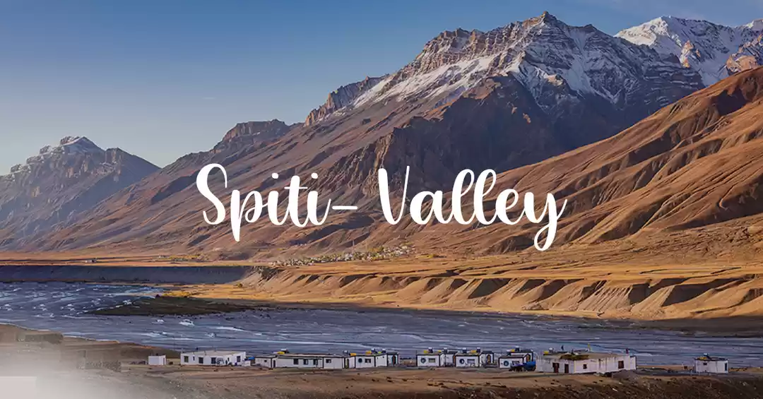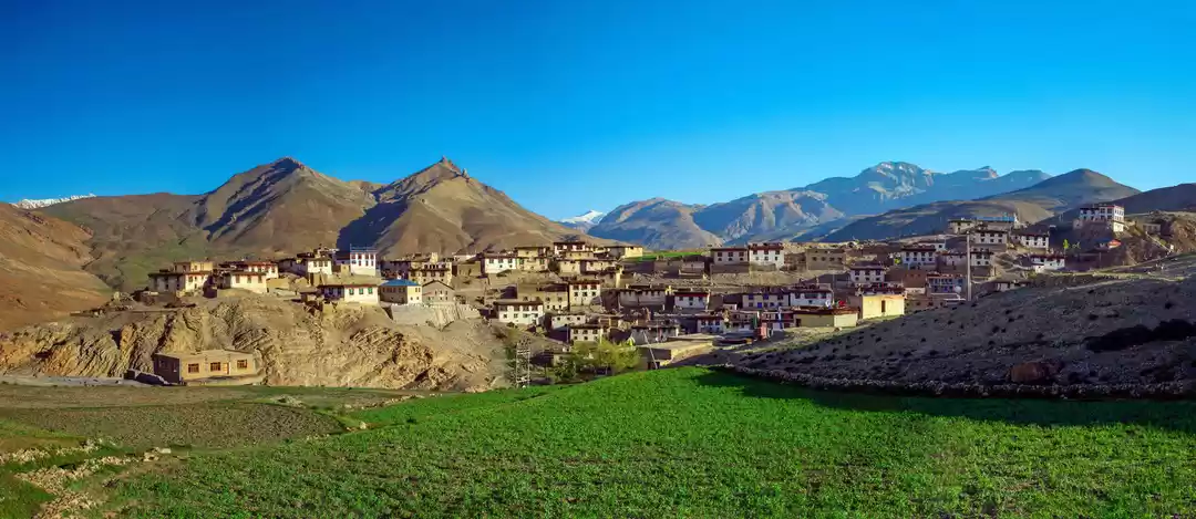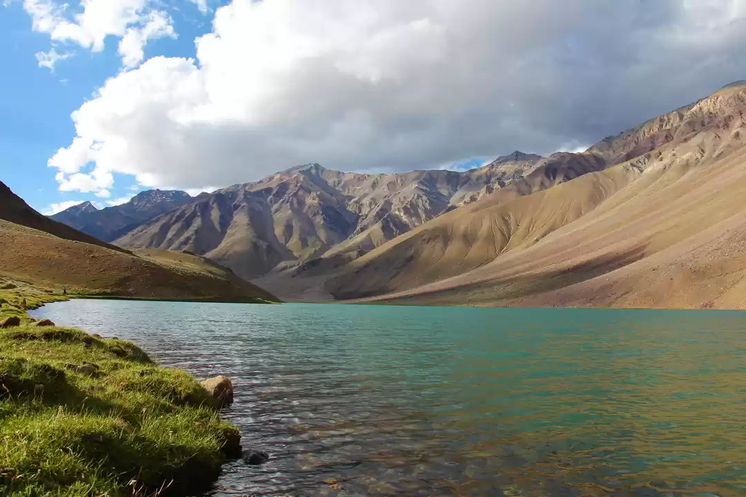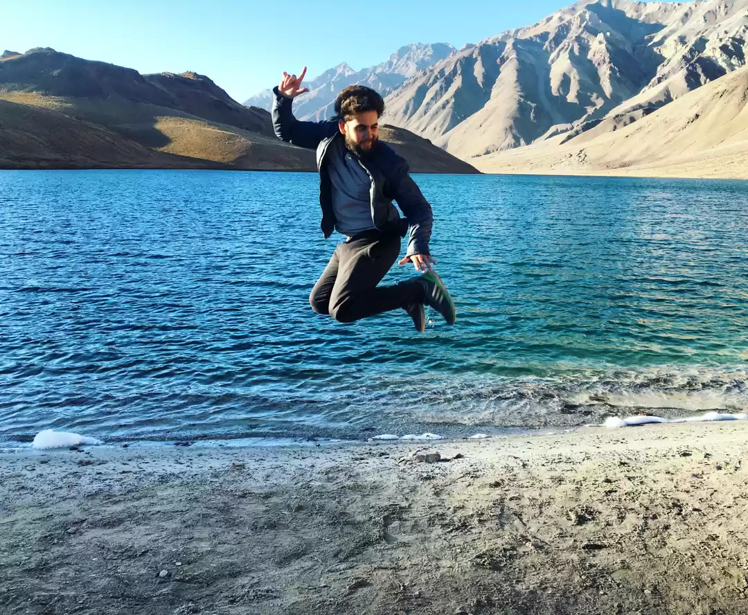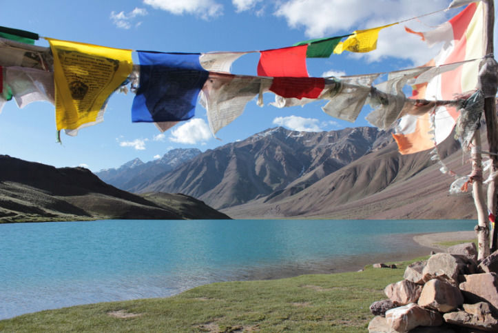
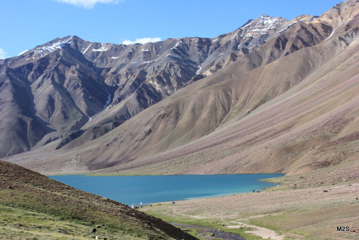
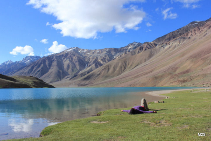
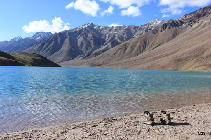
If the deep blue waters of Chandra Taal (meaning the Lake of the Moon) fail to leave you spellbound, nothing else will. It may not have the scale or the grandeur of Ladakh’s Pangong Lake, but ChandraTaal certainly exudes a quiet charm of its own. This high-altitude lake in the Spiti valley is perched at a height of 4300 meters above mean sea level and is also known as Chandertaal or Chandra Tal. What feeds this lake is somewhat of a mystery: While some accounts attribute its origins to an underground source, others believe it is fed by glaciers. Regardless, one thing is clear that the ChandraTaal lake is the source of its namesake river, the Chandra river.
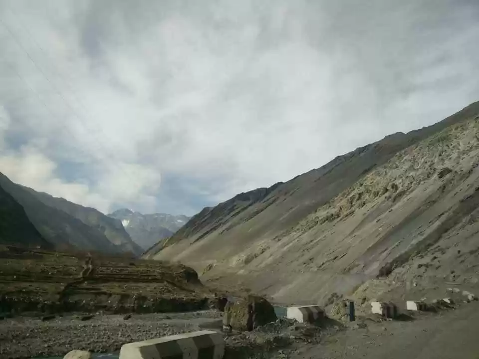
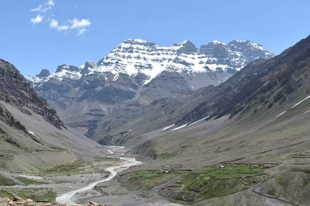
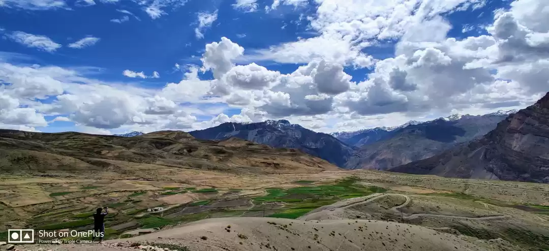
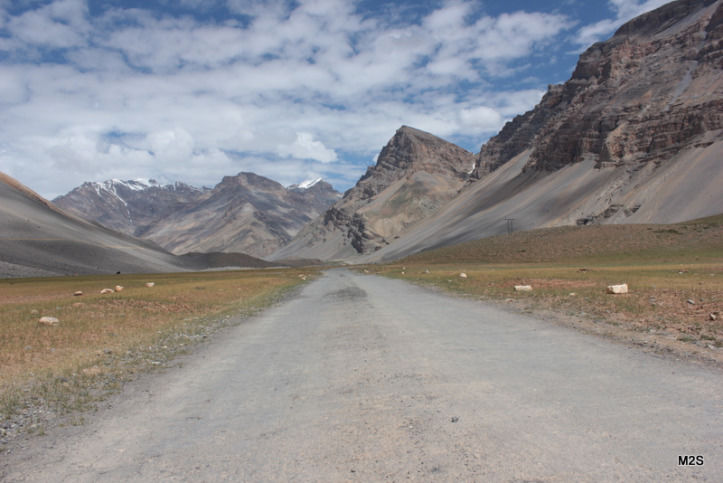
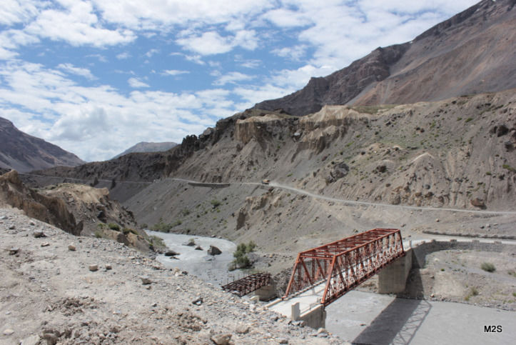
When we started out from Kibber at 7:30am, our plan was simple: Drive as close to the lake as the road conditions would allow and reach the lake by mid afternoon. From Kibber, the drive to Kunzum Pass was around 90 Kms. It was possibly the most scenic drive of the Spiti valley!
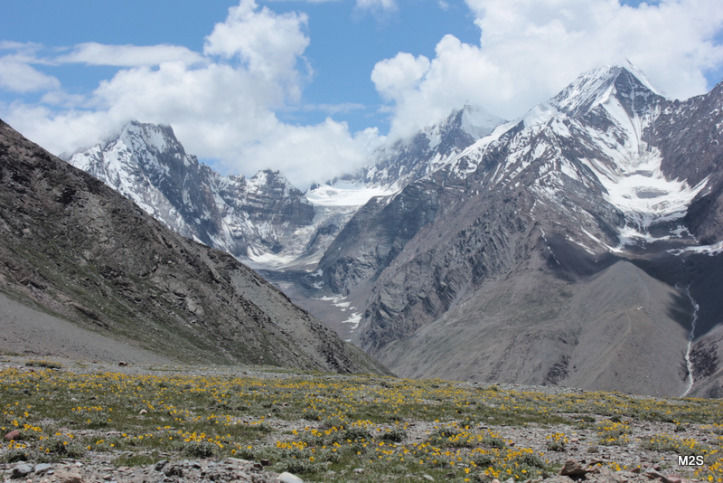
By the time we reached the Kunzum Pass (15,060 ft above sea level), it was close to 1:00pm. Trekking was not even on the cards but it all changed as we started chatting with some locals. “You can easily trek down to Chandra Taal from here in four hours,” advised a friendly villager. It seemed like an exciting and eminently do-able plan to some of us, so we decided to split. The trekkers grabbed their windcheaters and water bottles and got on the Kunzum-Chandra Taal trek with a rough plan to meet up with the non-trekkers at the lake.
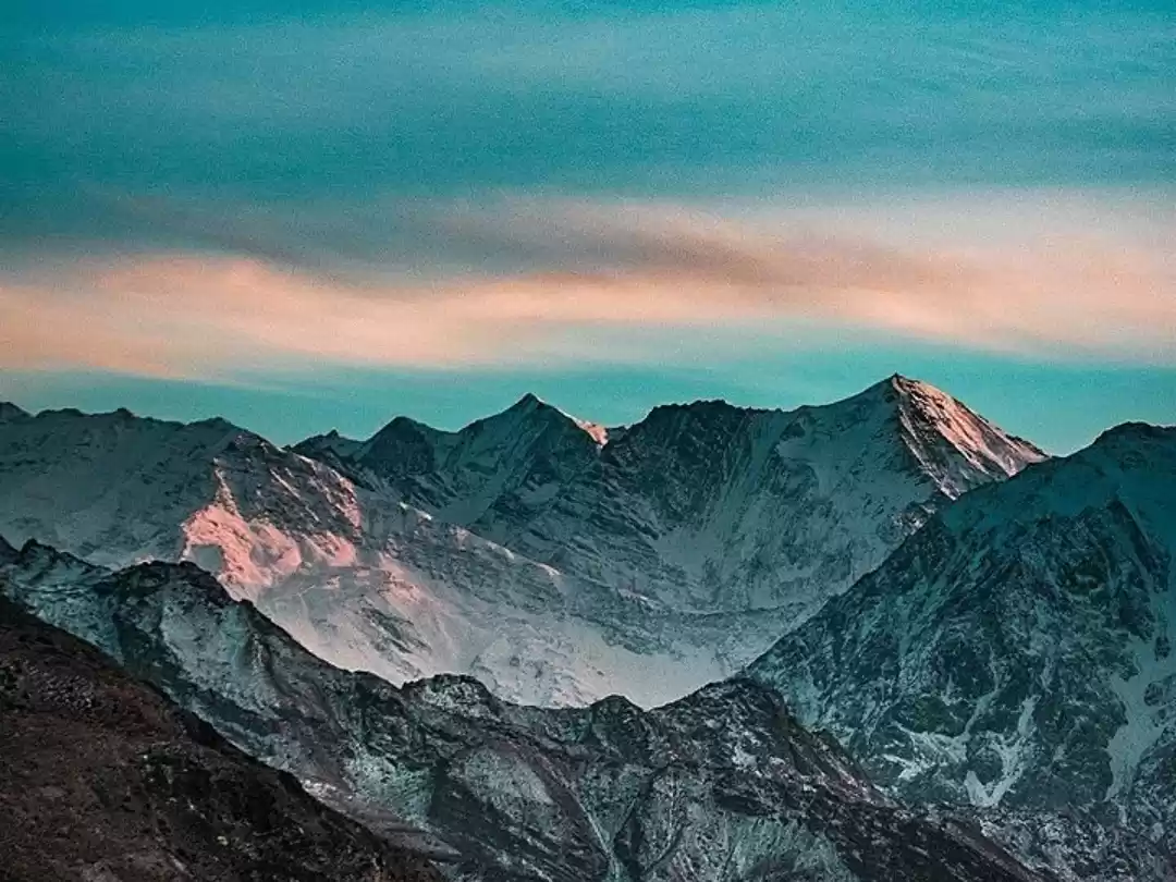
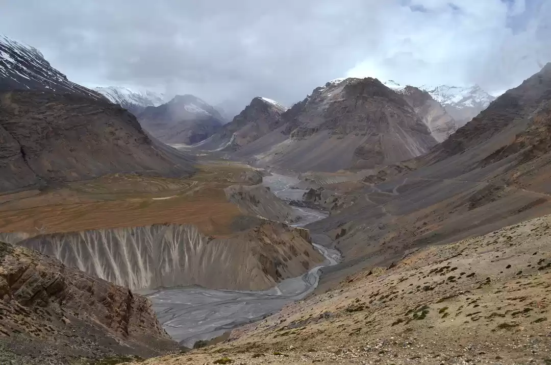
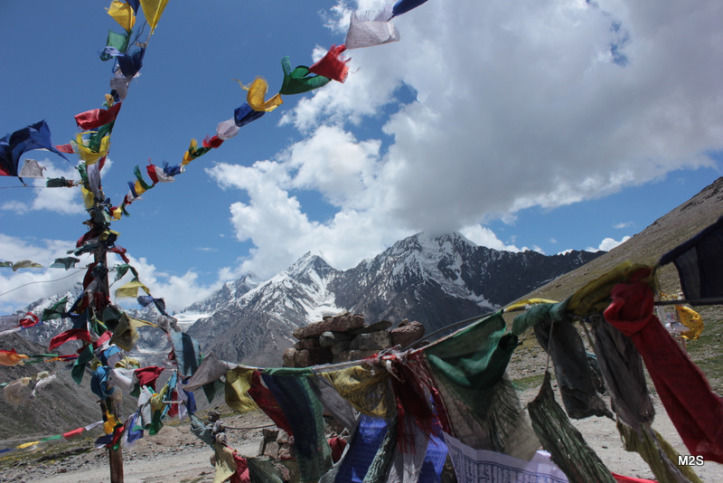
To the right of the stupas at the summit of the Kunzum Pass, there is a well-defined trail that the villager directed us to follow. After 90 minutes of comfortable walking we saw a dash of turquoise out in the distance; it was our first glimpse of the Chandra Taal lake!
It seemed so close that we figured we’ll hit the lake in a hour. Of course, we didn’t realize that there will be a never-ending series of peaks and troughs to impede our progress. Fortunately there was no tree cover to make us lose sight of the trail. While there were a few sections that required some dexterity, it was mostly an easy downhill trek.
By 4:30pm, the trail brought us to the meadow beyond which there is no vehicular access to the lake. We spotted our vehicle there. Another 20-minute walk from the base took us to the shimmering blue lake. It was getting noticeably windier but the mesmerizing views made us hang around the lake till sundown. For the night, we were booked at the North Face camp, some 4 kms from the lake.
Here are some planning pointers:
- If you’re approaching Chandra Taal from Manali, you’ll need to drive past Battal for 13 kms to reach the lake.
- If you’re approaching from Kaza, then you can get down at Kunzum Pass and trek to the lake. Remember that it is a 4-5 hour trek, so leave Kunzum Pass no later than 1:00pm.
- If possible, pick the tent sites that are closer to the lake.
- If you don’t want to camp overnight at the lake, you can drive down to Battal (13 kms) and stay at the PWD Rest House or the dhabas that take on overnighters.
- Camping sites do provide sleeping bags and meals so you can travel light.
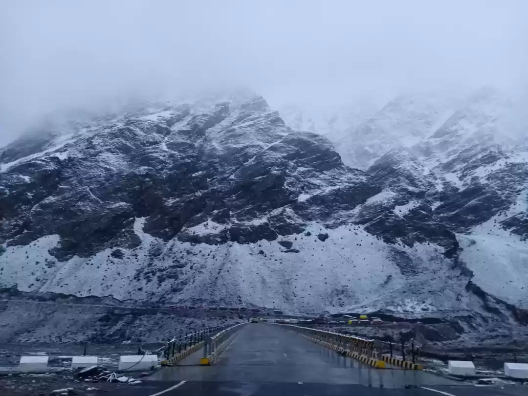
- Kunzum Pass is usually closed to traffic till the first week of July. A good way to get the road status is to call HRTC Manali. If the Manali-Kaza bus route is operational then it means the Kunzum Pass is open.
- Be prepared for chilly weather and strong winds.
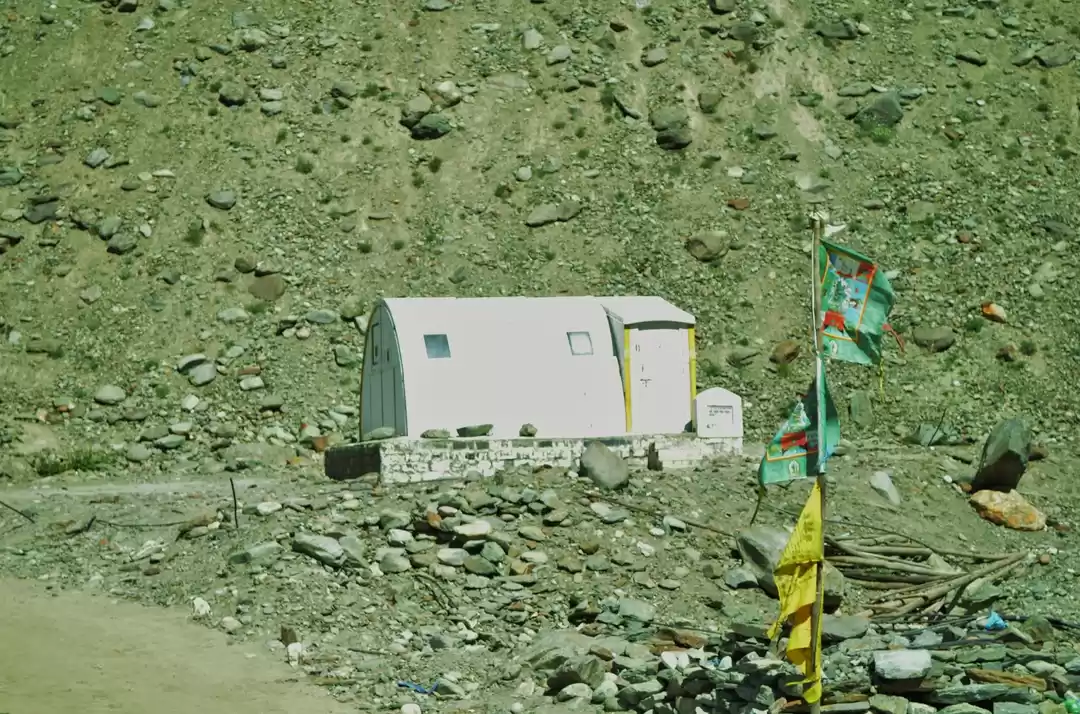
- There is no electricity or phone network at the camping sites.
This trip was originally published on Miles To Smile.

' fill='%23359391'%3e %3cpath d='M46.1538462%2c43.5714286 L41.5%2c50 L36.8461538%2c43.5714286 L36.8670256%2c43.5714286 C36.3173077%2c42.7142857 36%2c41.6851429 36%2c40.5714286 C36%2c37.4854286 38.4535641%2c35 41.5%2c35 C44.5464359%2c35 47%2c37.4854286 47%2c40.5714286 C47%2c41.6851429 46.6826923%2c42.7142857 46.1329744%2c43.5714286 L46.1538462%2c43.5714286 Z M41.4294872%2c39 C40.6150641%2c39 39.9487179%2c39.675 39.9487179%2c40.5 C39.9487179%2c41.325 40.6150641%2c42 41.4294872%2c42 C42.2439103%2c42 42.9102564%2c41.325 42.9102564%2c40.5 C42.9102564%2c39.675 42.2439103%2c39 41.4294872%2c39 L41.4294872%2c39 Z' id='Location-white'%3e%3c/path%3e %3c/g%3e %3c/svg%3e)