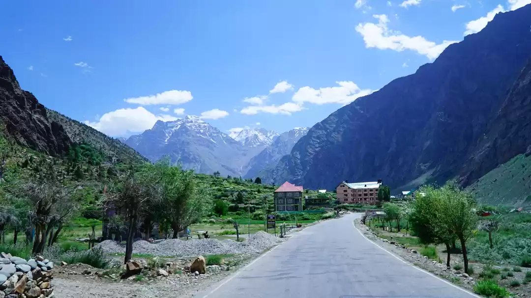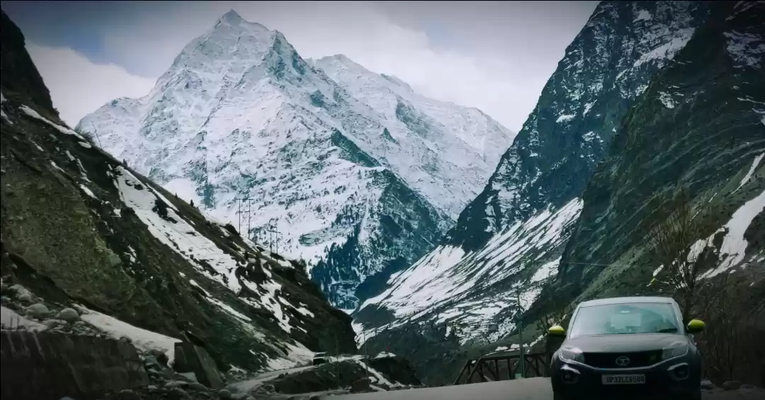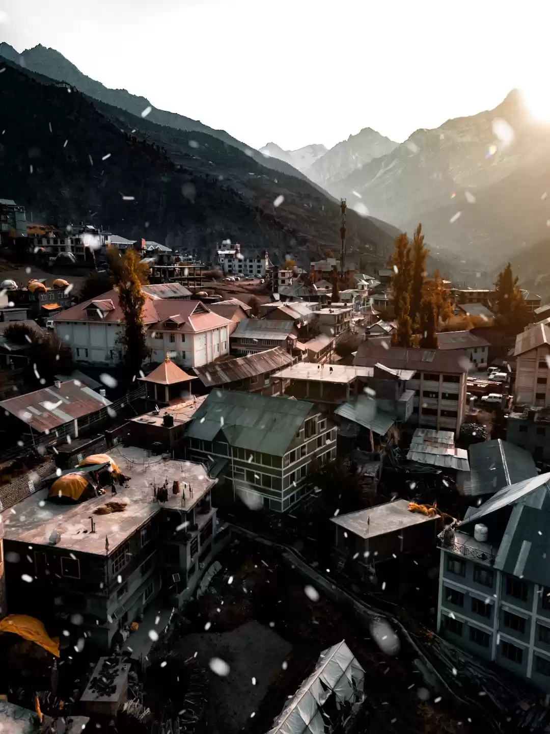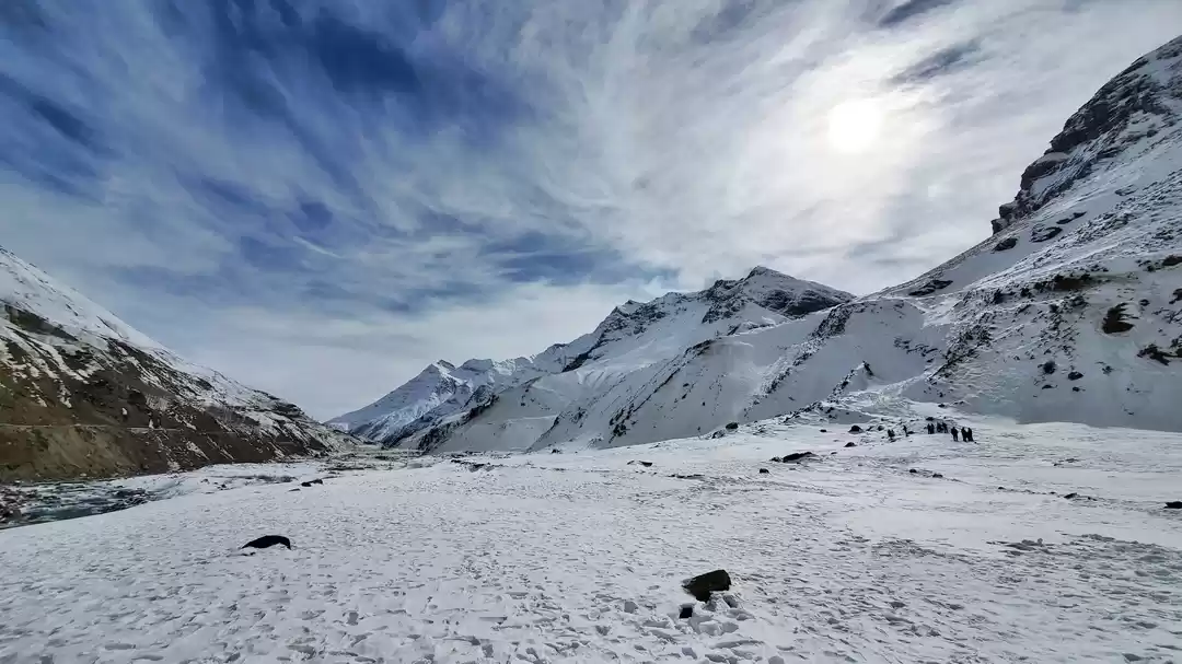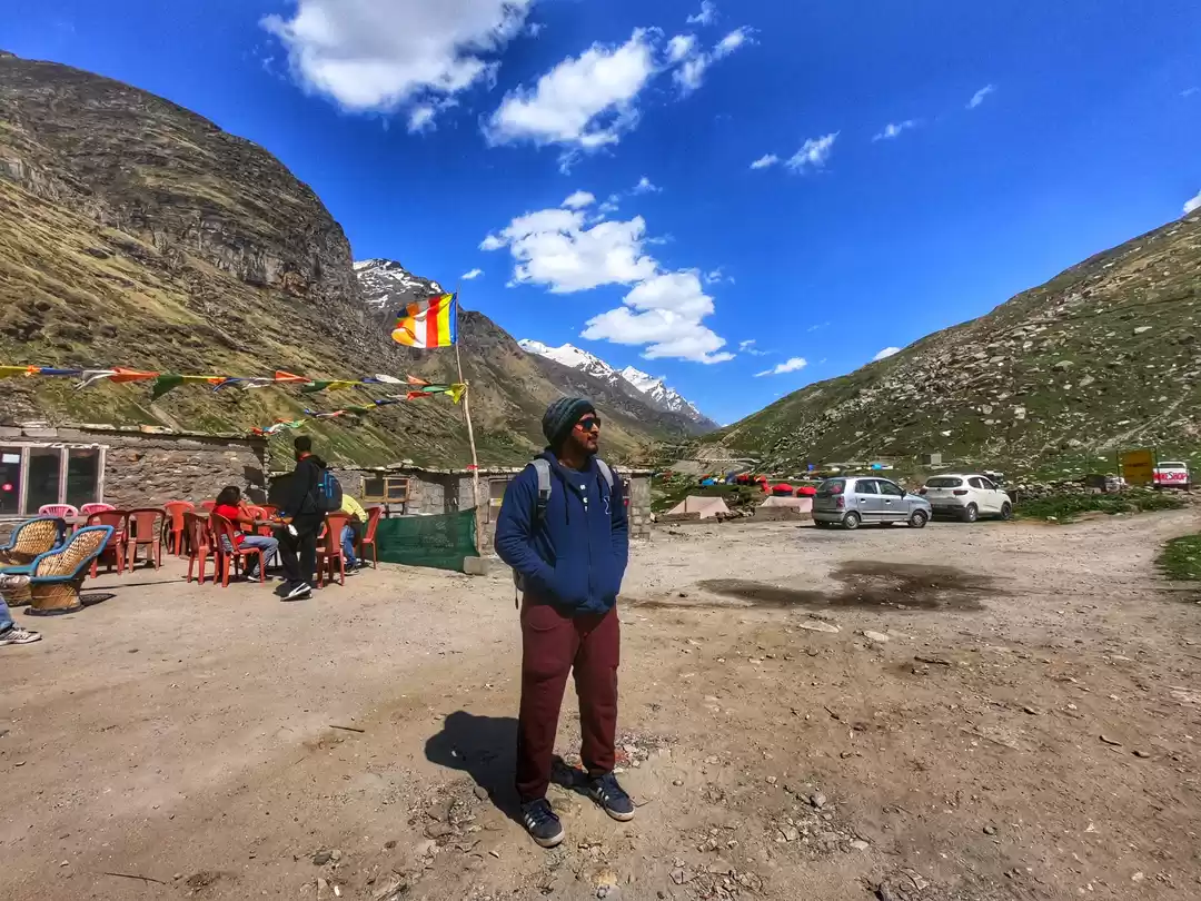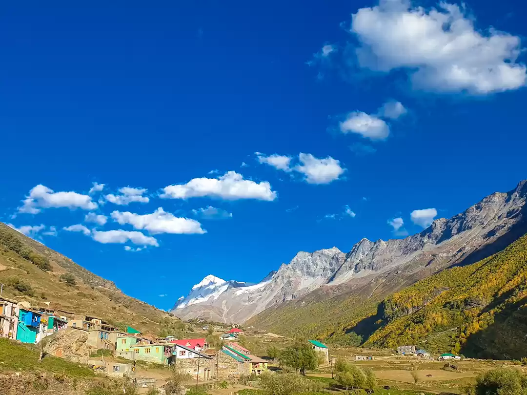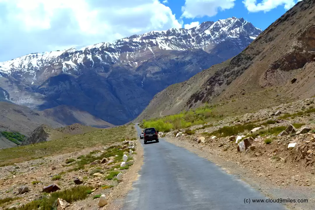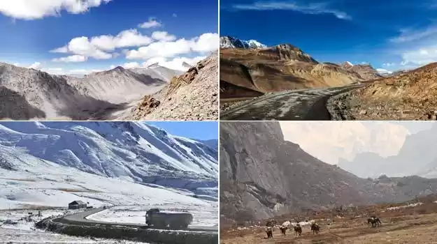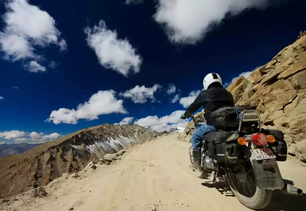


Below picture will tell you the story of 12 wonderful days of my life. 5600 kms road trip which included drive on the world’s most deadliest road, super fast highways, no roads, road with full of stones, road with deep gorges on one side and mountain cliff on the other, Water crossings, no connectivity.
Highlights of the trip.
Non-stop drive from Mumbai (Maharashtra) to Pathankot (Punjab)
Drive from Akhnoor (Jammu & Kashmir) to Rajouri (Jammu & Kashmir) where you can hear the Radio Channels of Pakistan and numerous landscapes of Kashmir Valley.
Drive on Mughal Road. The road is 84km long and situated in Jammu and Kashmir State of India. The road was historically used by Moghul emperors to travel and conquer Kashmir during the sixteenth century. It was the route used by Akbar the Great to conquer Kashmir in 1586, and his son Emperor Jahangir died while returning from Kashmir on this road near Rajouri. Mughal Road is the road between Bafliaz, a town in the Poonch district of Jammu & Kashmir, to Shopian district in the Jammu & Kashmir. It passes over Pir Panjal Mountain range, at altitude of 11,500 ft. Pir ki Gali is the Highest Point on this road.
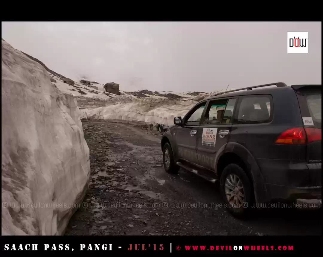
Snow fall at Sinthan Pass / Top in Jammu & Kashmir. The Sinthan pass connects Kashmir valley with Jammu Province through Kistwar. It is located at 12,500 ft and is snow-capped for most of the year. It is located on Anantnag-Kokernag-Kishtwar Highway.
Sighting of Leopard while descending from Sinthan Pass towards Kishtwar.
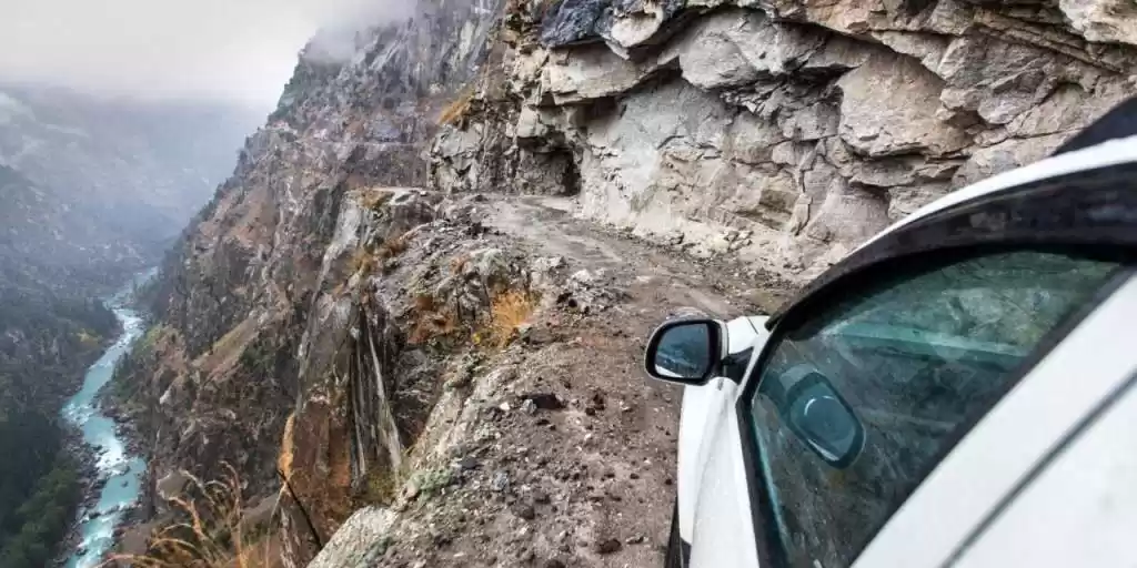
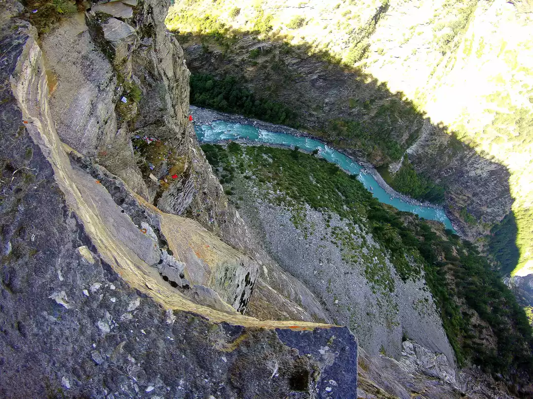
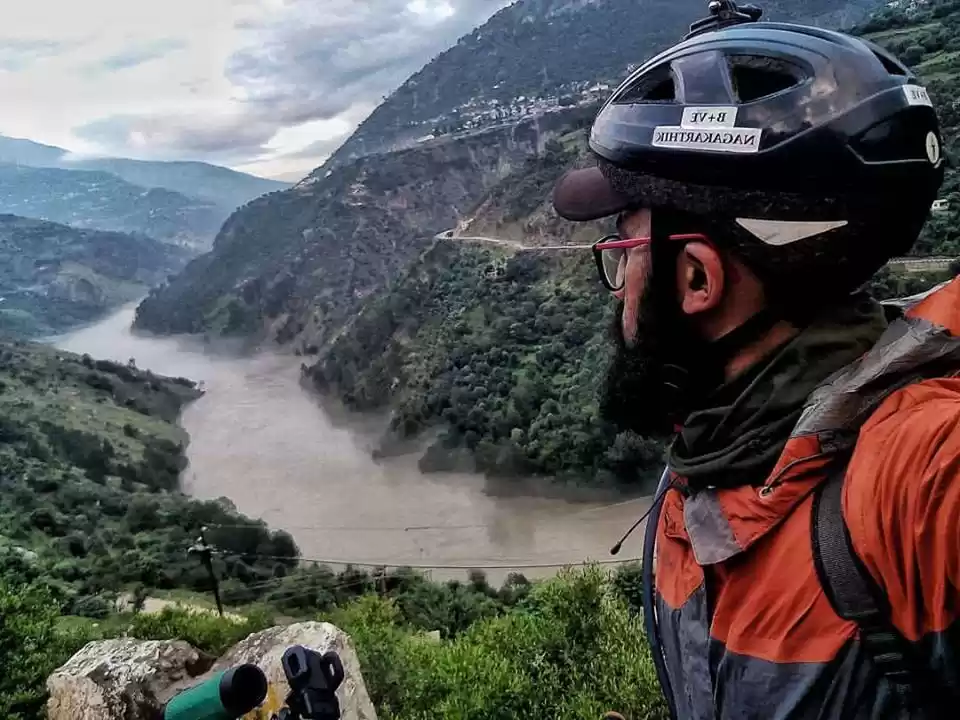
World’s Most Deadliest road. The road between Kishtwar (Jammu & Kashmir) and Khillar (Himachal Pradesh) is termed as one of the deadliest road in the world; the road is extremely narrow with 1000 feet free fall into river Chenab on one side and deadliest mountain cliff hanging on other side.
Drive between Khillar (Himachal Pradesh) to Udeypur (Himachal Pradesh). Again a difficult road with many landslides zones enroute.
Drive between Gramphoo (Himachal Pradesh) to Batal (Himachal Pradesh). The drive was literally on stones, extremely treacherous.
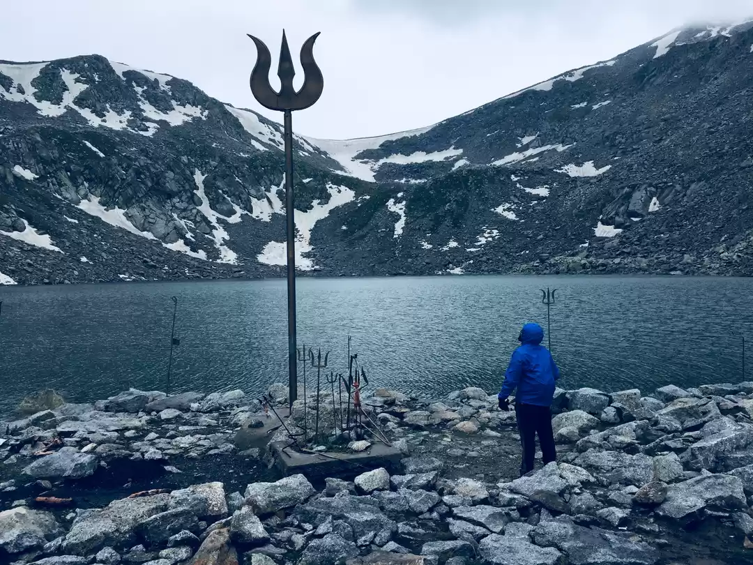
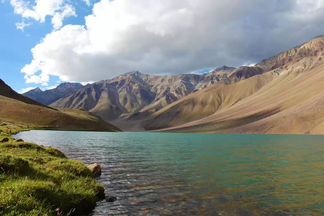
Majestic Chandrataal Lake. Chandra Taal (Lake of the Moon), is situated at an altitude of about 14,100 ft in the Himalayas. Mountains overlook the lake on one side, and a magnificent cirque presents a view on the other. It is motorable from Batal which is 14km away from Chandra Taal in the state of Himachal Pradesh.
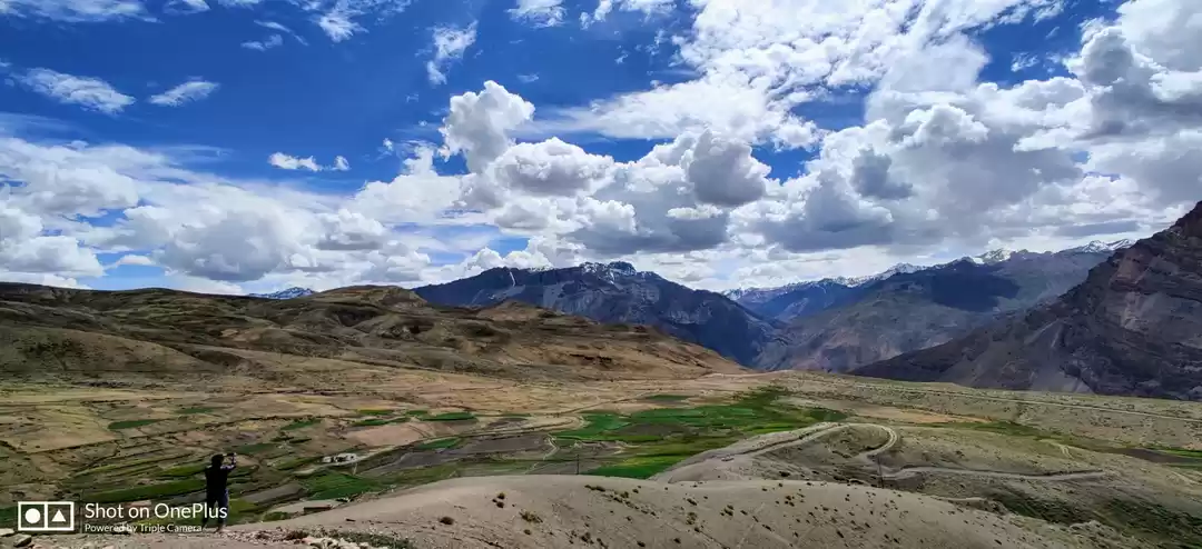
Kunzum Pass / Top. A high mountain pass located at an altitude of 15,060 ft on Eastern Kunzum Range of Himalayas in the state of Himachal Pradesh.
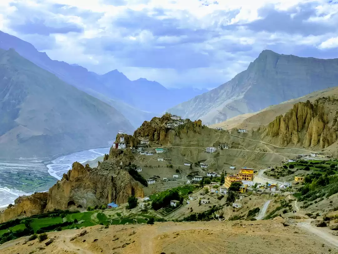
Komic, also known as the Highest Motorable Village in Asia located at an altitude of 14800 ft in Kaza District of Himachal Pradesh.
Nonstop drive from Kaza (Himachal Pradesh) to Amritsar (Punjab).
Golden Temple, Amritsar.
Hussainiwala Border Post, Ferozepur.
Day 1 & Day 2:
Mumbai – Nasik Bypass – Dhule – Manpur – Lebad – Neemuch – Chittorgarh – Bhilwara – Nasirabad – Kishangarh – Jaipur – Rewari – Rohtak – Panipat – Ambala – Chandigarh – Hoshiarpur – Pathankot.
Kishangarh is the point which everyone is supposed to touch for going towards North. 3 options available now
NH8 & NH79 (Mumbai – Surat – Ahmedabad Ring Road – Himatnagar – Udaipur – Chittorgarh – Bhilwara – Kishangarh)
b. NH3 & NH79 (Mumbai – Nasik – Dhule – Manpur – Lebad – Neemuch – Chittorgarh – Bhilwara – Kishangarh)
c. NH8, NH14 and NH8 (Mumbai – Surat – Ahmedabad Ring Road – Mehsana – Palanpur – Sirohi – Pali – Beawar – Kishangarh)
Day 3: Pathankot – Jammu – Aknoor – Rajouri – Surankot.
Very scenic route with lots of ascends and descend and also you get to listen FM from Pakistan Radio Channels. We had to stay back at Surankot since we were not cent percent fit for the drive ahead and it was already 06.30 PM, Surankot is 15 kms away from Bafliaz on Poonch Road.
Day 4: Surankot – Bafliaz – Mughal Road – Pir Ki Gali – Shophian Bypass – Aharbal Falls – Kulgam – Anantnag – Sinthan Top – Kishtwar.
Shopian Bypass to Kulgam, absolutely scenic road.
Day 5: Kishtwar – Gulabgarh – Cliffhanger Route – Tyari – Sansari – Khillar.
Keep a long view on the road to see if any vehicle is coming from opposite direction and also keep an eye on the shoulders to adjust yourself incase vehicle comes from opposite direction. Real Cliffhanger starts from Gulabgarh, absolutely narrow path, only one vehicle can pass at a time. Keep a long view on the road to see if any vehicle is coming from opposite direction and also keep an eye on the shoulders to adjust yourself incase vehicle comes from opposite direction. Numerous Ascends and Descends.Keep calm there are numerous hairpins, very narrow path, I would suggest, get out of the vehicle, park it on flat surface, do reki of the area and then go ahead. You enter Himachal Pradesh after crossing the Sansari Checkpost / Bridge, road continue to remain same all the way till Khillar.
Day 6: Khillar – Udeypur – Gramphoo.
Again a cliffhanger circuit, however path is big enough for 2 vehicles to pass, Himachal Pradesh State Road Transport operates on this route. Again roads are slow; expect average speed of 15 kmph.
Day 7: Gramphoo – Chattru – Batal – Chandrataal – Batal – Kunzum Top – Losar – Kaza.
You are literally driving on rocks, average speed of 10 kmph for entire route. There are 2 sections between Chatru and Batal which are difficult to cross, big stones on the route, and underbody hit is inevitable. Reki plays a very important role in this 2 sections. Raod to Chandrataal and back is absolutely narrow path. Keep a long view on the road to see if any vehicle is coming from opposite direction and also keep an eye on the shoulders to adjust yourself incase vehicle comes from opposite direction. It was one of toughest road, in my view, absolutely narrow.
Day 8 & Day 9: Kaza – Key – Kibber – Kaza – Langza – Kommic – Kaza – Tabo – Sumdo – Nako – Powari – Rampur – Narkanda – Shimla – Parwanoo – Chandigarh – Ludhiana – Jalandhar – Amritsar.
Day 10 & Day 11: Amritsar – Ferozpur – Hussainiwala Border Post – Abohar – Hanumangarh – Didwana – Kuchaman – Kishangarh – Bhilwara – Chittorgarh – Mangalwad – Udaipur City – Ratanpur – Himatnagar – Ahmedabad Ring Road – Baroda – Surat – Mumbai.
Other information:
Landslide can take place any-time and road may be closed, BRO guys try their best to built a temporary road, however those are steep and rocky, so reki before approaching such section is very important.
Don't take roads which specifies, Pradhan Mantri Gram Sadak Yojana, it will take you to village and you will end up wasting time. The reason I am telling you is because those roads are tarred / “Pakka” roads, you would be definitely tempted to take such roads after such a painful drive.
Tyari has Dhabba, which offers food and accommodation; however it is very basic and it can get super cold after sunset.
There is always a feeling that roads will improve after descending from the top, but no, roads can get worst, so don't get relaxed.
Food & Water always carry along water and food with you; in case you don't find anything you have it from your stock.
Carrying BSNL Card would be really helpful.
Try and reach your destination before 7 PM, in fact keep a thumb rule of not driving in the night, not only because of risk involved but also the views, landscapes en-route that you will miss during the night.
In every small village enroute you will find home stays.If you reach Gulabgarh after 12 in the afternoon, simply don't go ahead, try cliffhanger next day.
If it rains then thing would get really really tough.
Car with decent low end torque would perform better. Eg: Scorpio, however turning radius can be an issue. XUV 5OO gets live after 1500 RPM, so low end torque is less, so no point in burning cluth plate if vehicle gets stalled on the incline, come back to flat surface, gain momentum and then go ahead, turning radius is much lesser in XUV 5OO, so that will not be a problem. I did it from Kishtwar Side, however it would be equally difficult circuit, irrespective from where you are doing.
Is this circuit more difficult then Ladakh????? Kishtwar - Killar Circuit, Killar - Keylong / Gramphoo Circuit and Keylong / Gramphoo - Kaza Circuit is more difficult in comparison with Ladakh Circuit in my view. I have done Ladakh Circuit previously. There are no roads, you will be driving only on stones, mud, etc. So please prepare your car thoroughly before undertaking this trip.Is the above Circuit meant for 4X4????? 4x4 would be an added advantage, but in no terms you can term it as easy, since driver's capabilities play crucial role. I have a friend of mine who have done this in Fiat Punto.What about Ground Clearance, will that be an issue????? The above circuit would be much easier for Cars with High Ground Clearance i.e. SUVS and Cars having decent low end torque. Eg: Scorpio, Fortuner, Pajero, Sumo etc. I am not saying cars with Lower Ground Clearance cannot do it, however difficulty level will increase in comparison with SUVS.
Anything else that needs to be taken care? Lots of things
You should be aware of the entire circuit along with name of villages, towns enroute, petrol pumps, stay options, etc.
You should also be aware of shoulders you have passed on the way, in case, if their is no space for 2 vehicles to pass, you will have to reverse it to nearest shoulder.
Recce, while tackling with difficult section, i would suggest you to do a recce first and then go ahead.
Navigator, Don't think of doing this trip Solo, although i have come across people who have done solo run, however it is not at all recommended to do a solo run, because if things go wrong, only GOD can help you.
While approaching any steep incline, always keep a momentum, if you are stuck on the incline, don't burn your clutch plates, come down to a flat surface and give it another shot. While tackling steep decent, engage reverse gear and then slowly slide down, too much of breaking will heat up your discs.
Don't switch off your engine, while doing a recce, when you are waiting for a small landslide to clear, when you are down clicking pictures, since the entire route is landslide zone.
Early Morning Start, this is the Guru Mantra, reasons being, the risk literally doubles when you are driving in the night and you miss on the lovely views.
Don't try anything stupid and be patient.
The road is 84km long between Bafliaz, a town in the Poonch district of Jammu & Kashmir to Shopian district in the Jammu & Kashmir. The road was historically used by Moghul emperors to travel and conquer Kashmir during the sixteenth century. It was the route used by Akbar the Great to conquer Kashmir in 1586, and his son Emperor Jahangir died while returning from Kashmir on this road near Rajouri. It passes over Pir Panjal Mountain range, at altitude of 11,500 ft. Pir ki Gali is the Highest Point on this road. (Pir Ki Gali). Apart from this it is an alternative road for travelling to Srinagar.
Pir ki Gali is the Highest Point on this road at an altitude of 11,500 ft.
Sinthan Pass: The Sinthan pass connects Kashmir valley with Kistwar Valley. It is located at 12,500 ft and is snow-capped for most of the year. It is located on Srinagar – Anantnag – Kokernag - Kishtwar Highway. (Snow Capped XUV)
World’s Most Dangerous Road between Kishtwar (Jammu & Kashmir) and Killar (Himachal Pradesh). The road is so narrow that only one vehicle can pass at a time with numerous steep inclines and declines. This road gives access into Pangi Valley of Himachal Pradesh. The road is full of rocks, loose soil, etc, on one side there is 1000 feet freefall into the river Chandrabhaga and deadly mountain cliff hanging on other. The road condition is never constant, it sees many landslides. One mistake and it can turn out to be disaster. This road is featured into many travel forums as “One of the most Dangerous Roads in the World”. (Tyar to Sansari)
World’s Most Dangerous Road between Khillar (Himachal Pradesh) and Keylong (Himchal Pradesh). This road connects Pangi Valley with Lahaul Valley in Himachal Pradesh. There are numerous steep inclines and declines. On one side there is 1000 feet freefall into the river Chenab and deadly mountain cliff hanging on other. The road condition is never constant, it sees many landslides. This road is featured into many travel forums as “One of the most Dangerous Roads in the World”
Chandrataal Lake: Chandra Taal (Lake of the Moon), is situated at an altitude of about 14,100 ft in the Himalayas. Mountains overlook the lake on one side, and a magnificent cirque presents a view on the other. It is motorable from Batal which is 14km away from Chandrataal in the state of Himachal Pradesh.
Kunzum Pass / Top. A high mountain pass located at an altitude of 15,060 ft on Eastern Kunzum Range of Himalayas in the state of Himachal Pradesh. Kunzum Pass connects Lahaul Valley with Spiti Valley in Himchal Pradesh.
Komic, also known as the Highest Motorable Village in Asia located at an altitude of 14800 ft in Kaza District of Himachal Pradesh
World’s Most Dangerous Road between Kishtwar (Jammu & Kashmir) and Killar (Himachal Pradesh). The road is so narrow that only one vehicle can pass at a time with numerous steep inclines and declines. This road gives access into Pangi Valley of Himachal Pradesh. The road is full of rocks, loose soil, etc, on one side there is 1000 feet freefall into the river Chenab and deadly mountain cliff hanging on other. The road condition is never constant, it sees many landslides. One mistake and it can turn out to be disaster. This road is featured into many travel forums as “One of the most Dangerous Roads in the World”. (Tyar to Sansari)
World’s Most Dangerous Road between Kishtwar (Jammu & Kashmir) and Killar (Himachal Pradesh). The road is so narrow that only one vehicle can pass at a time with numerous steep inclines and declines. This road gives access into Pangi Valley of Himachal Pradesh. The road is full of rocks, loose soil, etc, on one side there is 1000 feet freefall into the river Chenab and deadly mountain cliff hanging on other. The road condition is never constant, it sees many landslides. One mistake and it can turn out to be disaster. This road is featured into many travel forums as “One of the most Dangerous Roads in the World”. (Tyar to Sansari)World’s Most Dangerous Road between Khillar (Himachal Pradesh) and Keylong (Himchal Pradesh). This road connects Pangi Valley with Lahaul Valley in Himachal Pradesh. There are numerous steep inclines and declines. On one side there is 1000 feet freefall into the river Chenab and deadly mountain cliff hanging on other. The road condition is never constant, it sees many landslides. This road is featured into many travel forums as “One of the most Dangerous Roads in the World”
World’s Most Dangerous Road between Khillar (Himachal Pradesh) and Keylong (Himchal Pradesh). This road connects Pangi Valley with Lahaul Valley in Himachal Pradesh. There are numerous steep inclines and declines. On one side there is 1000 feet freefall into the river Chenab and deadly mountain cliff hanging on other. The road condition is never constant, it sees many landslides. This road is featured into many travel forums as “One of the most Dangerous Roads in the World”
Frequent Searches Leading To This Page:-
himachal tour packages itinerary, himachal tour package from jammu, himachal tour packages from pathankot, himachal tour package from delhi, himachal tour package from chandigarh


